IB 53
Total Miles
0.8
Technical Rating
Best Time
Fall, Spring, Summer, Winter
Trail Type
High-Clearance 4x4 Trail
Accessible By
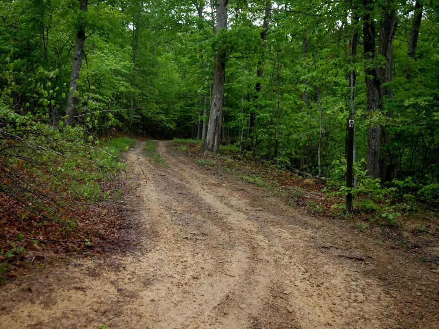
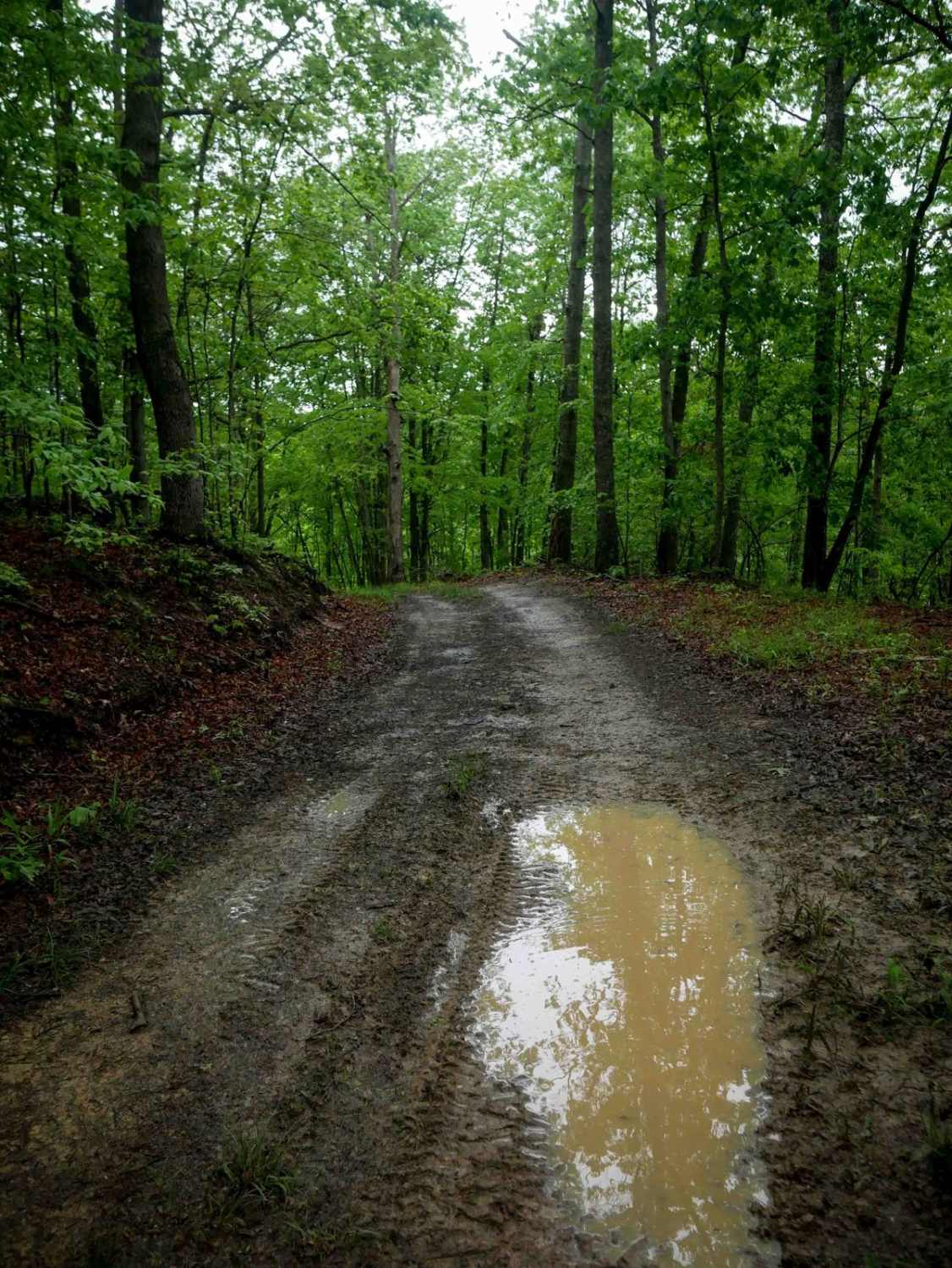
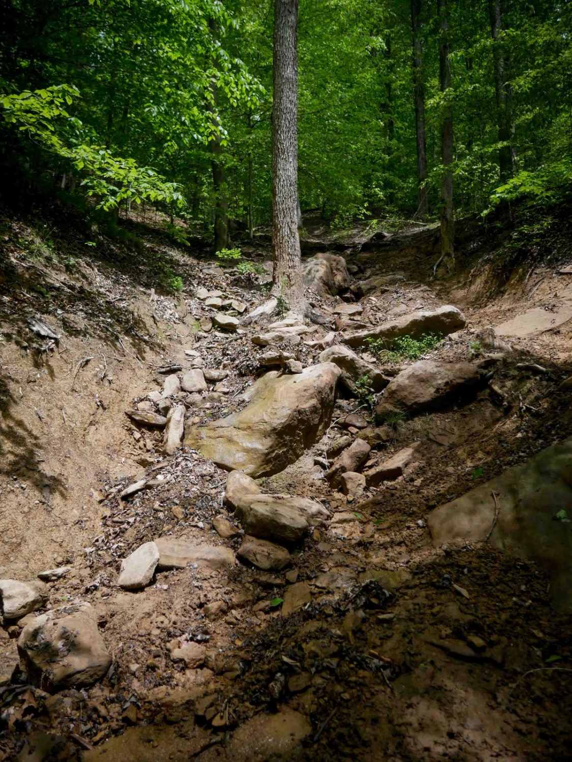
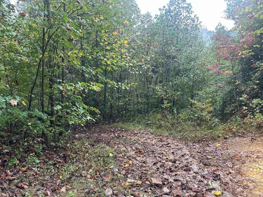
Trail Overview
IB 53 is an easier one-lane width trail stretching 0.8 miles with a smooth surface and gradual turns. While mostly free of roots and larger rocks, drivers should expect occasional puddles, short steep hills, and low-hanging branches. The trail cuts across the hillside with some shelfy sections, and passes scenic mossy rock walls along the way. It serves as a connector to the more advanced IB 76 and IB 86 trails on the south end, offering a calm approach before the technical terrain begins.
Photos of IB 53
Difficulty
This is an easy connector trail with no obstacles. This is considered Moderate by Hatfield McCoy's rating system.
Status Reports
IB 53 can be accessed by the following ride types:
- High-Clearance 4x4
- SxS (60")
- ATV (50")
- Dirt Bike
IB 53 Map
Popular Trails


The onX Offroad Difference
onX Offroad combines trail photos, descriptions, difficulty ratings, width restrictions, seasonality, and more in a user-friendly interface. Available on all devices, with offline access and full compatibility with CarPlay and Android Auto. Discover what you’re missing today!