IB 12
Total Miles
2.1
Technical Rating
Best Time
Fall, Spring, Summer, Winter
Trail Type
High-Clearance 4x4 Trail
Accessible By
Trail Overview
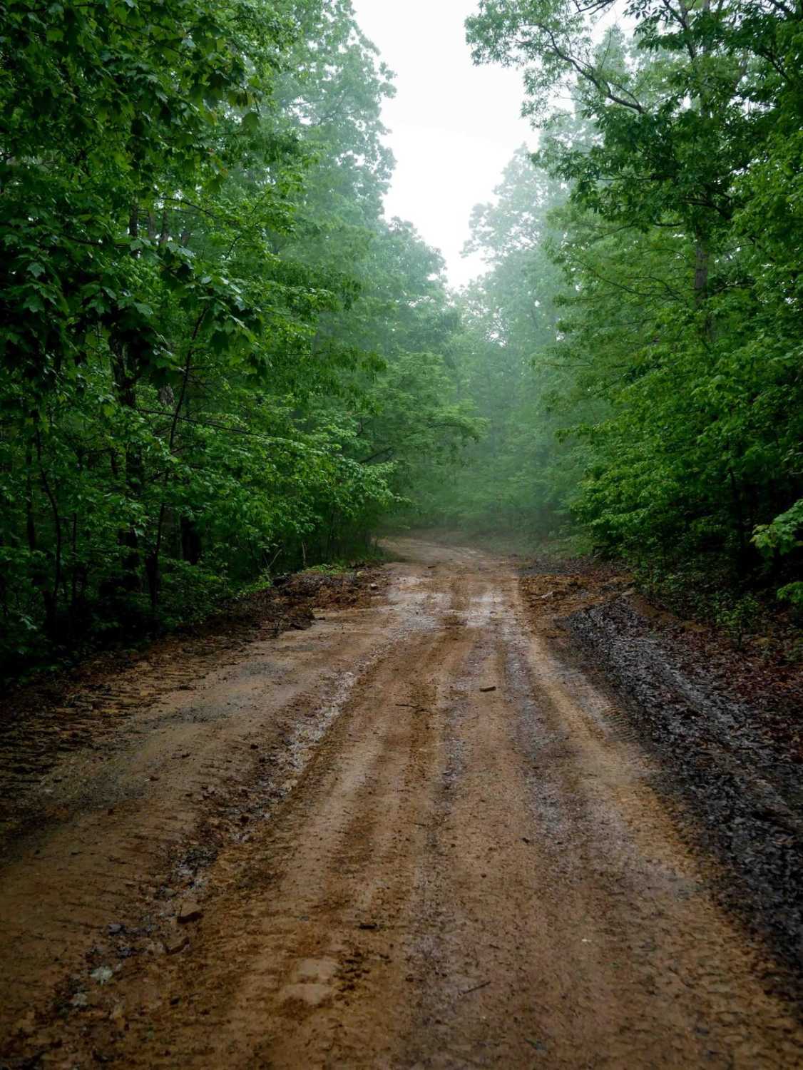
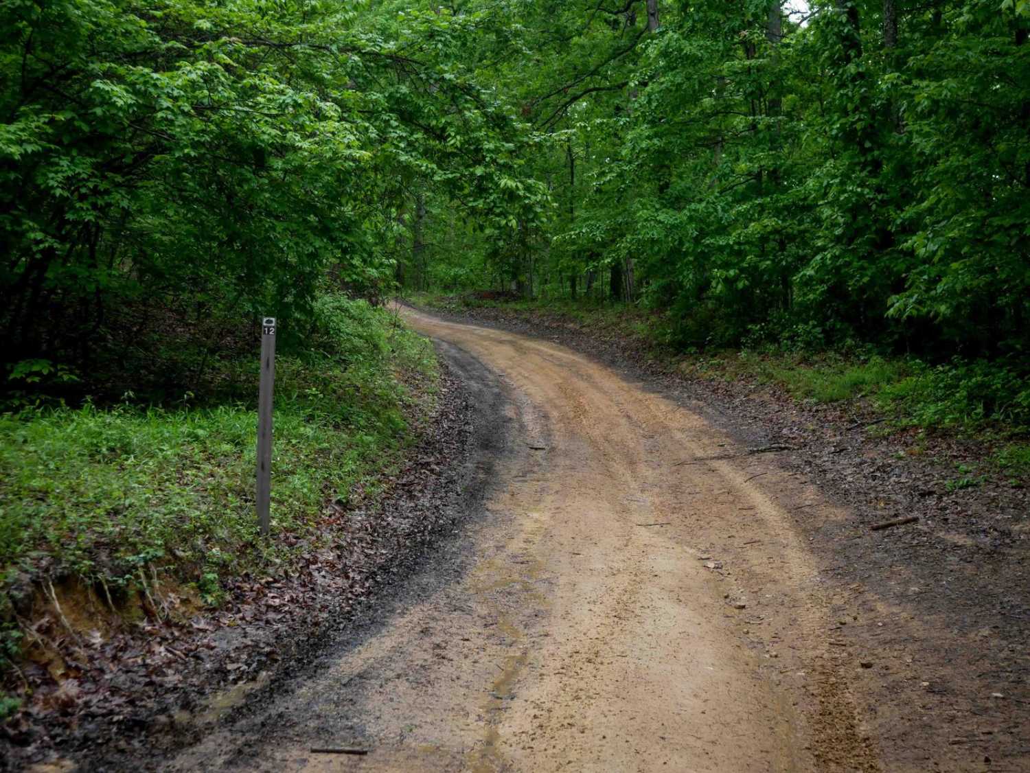
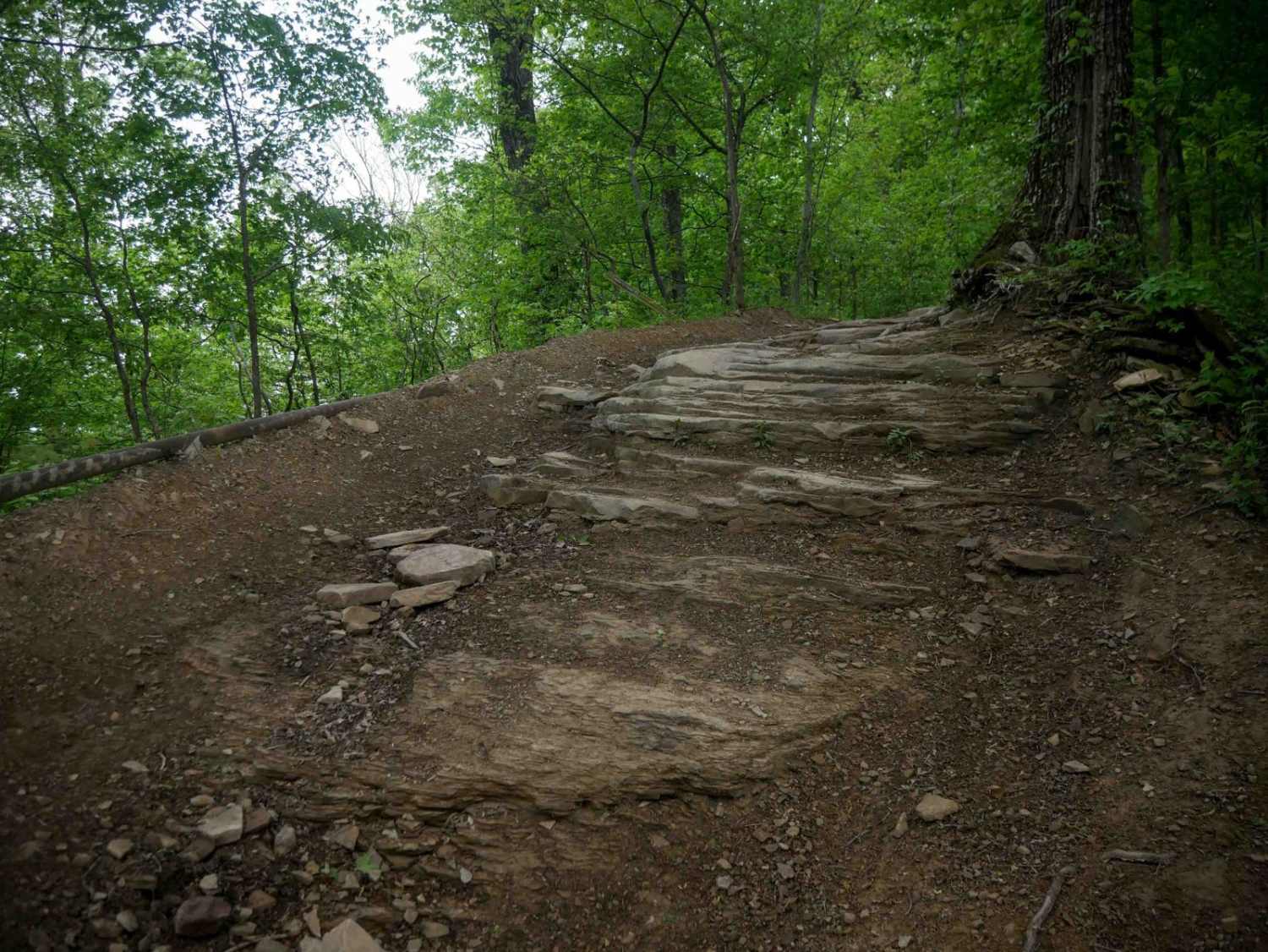
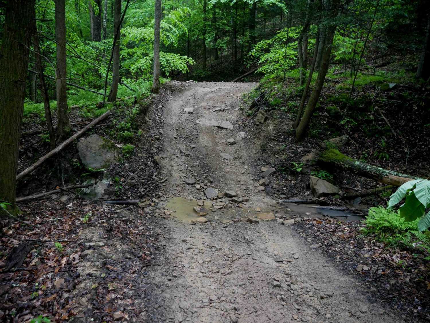
IB 12 is a 2-mile easy route along the western edge of the Ivy Branch trail system. It's a wide, smooth trail with shallow ruts, occasional mud puddles, and good visibility for oncoming traffic. Loose rock and debris are mostly pushed to the sides. The route includes water bars and gentle hills with a very gradual grade throughout, making it accessible for most drivers.
Photos of IB 12
Difficulty
This is an easier access trail with no major obstacles, ideal for all skill levels.
Status Reports
IB 12 can be accessed by the following ride types:
- High-Clearance 4x4
- SxS (60")
- ATV (50")
- Dirt Bike
IB 12 Map
Popular Trails

189 Single Track
The onX Offroad Difference
onX Offroad combines trail photos, descriptions, difficulty ratings, width restrictions, seasonality, and more in a user-friendly interface. Available on all devices, with offline access and full compatibility with CarPlay and Android Auto. Discover what you’re missing today!