DA 51
Total Miles
3.4
Technical Rating
Best Time
Spring, Fall, Summer, Winter
Trail Type
60" Trail
Accessible By
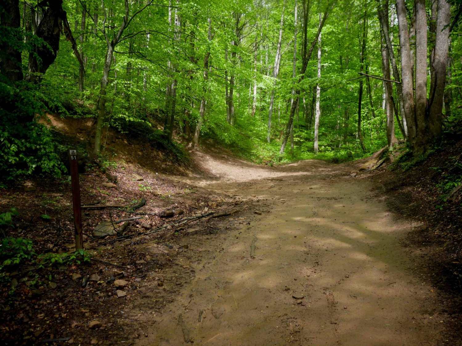
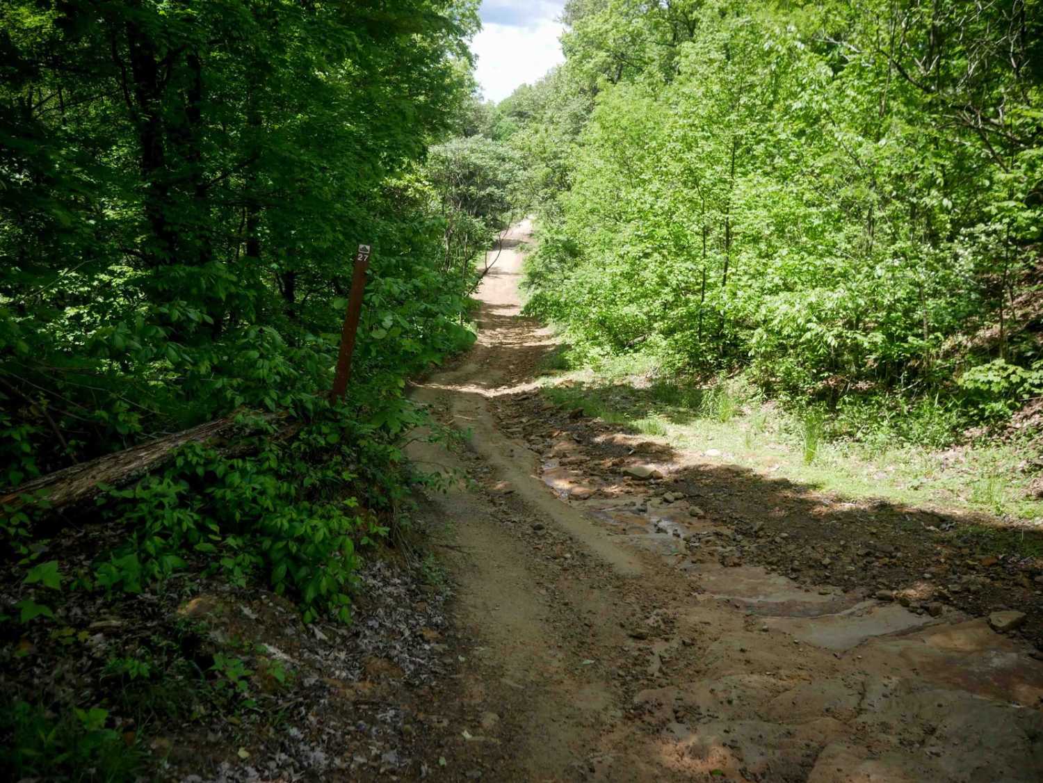
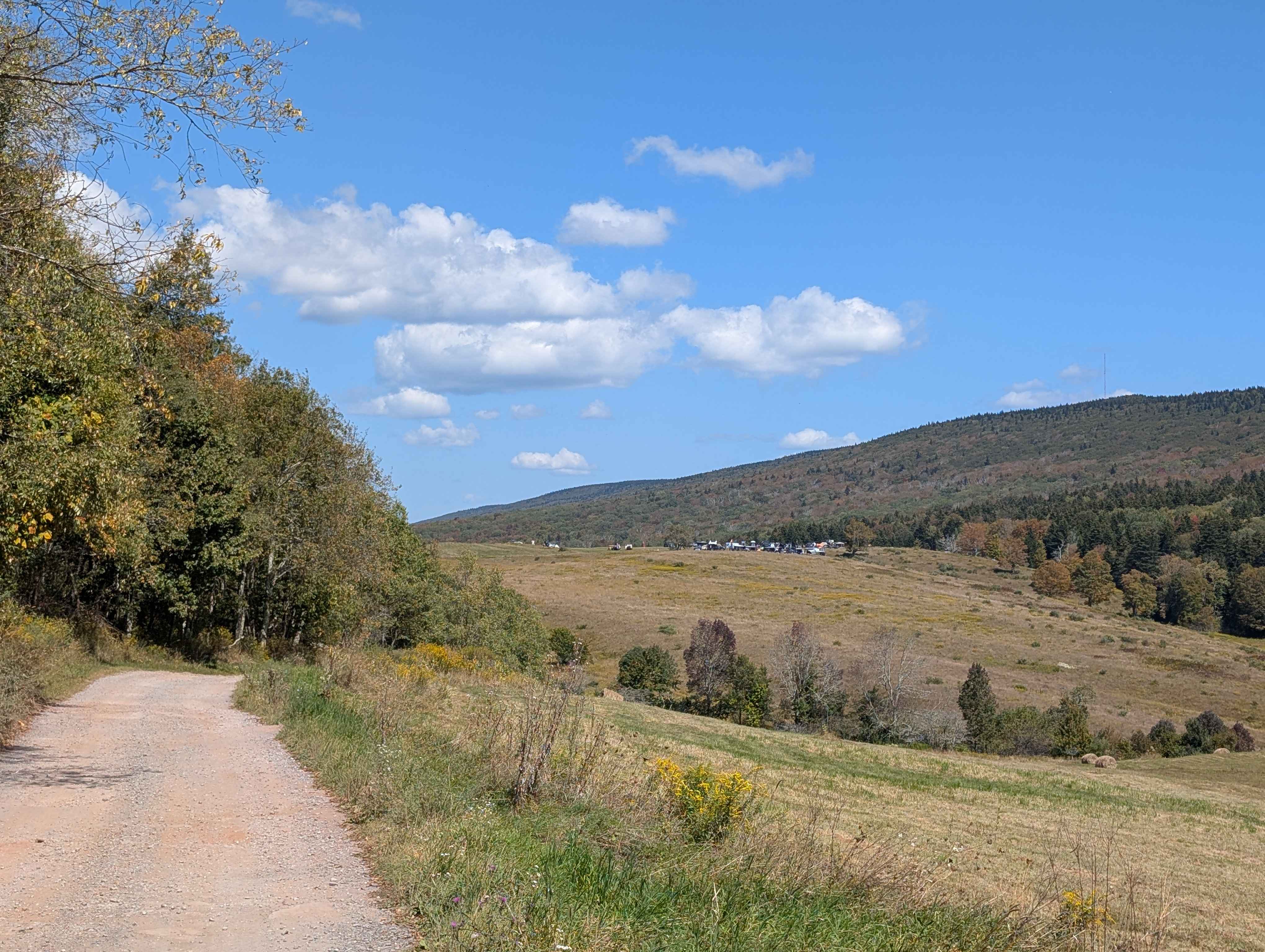
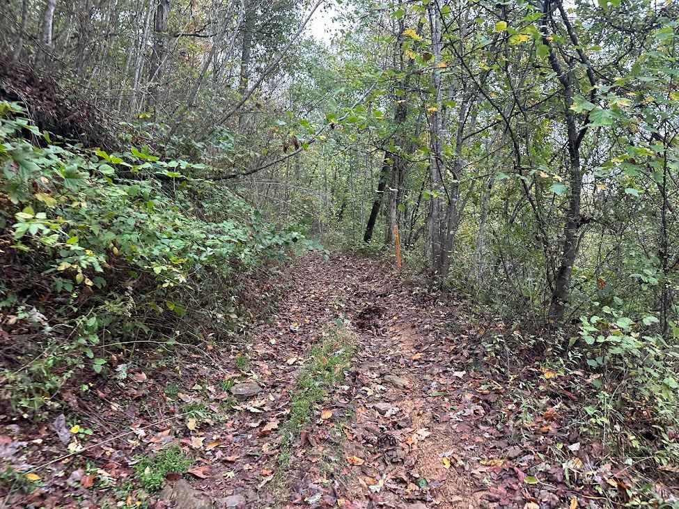
Trail Overview
DA 51 is a 3.6-mile easy transfer trail connecting DA 52 to DA 38, leading riders toward the town of Horsepen Mountain. The route passes through lush forest with smooth terrain, minor rocks, light rutting, and a few hairpin turns. As the trail approaches its northern end, it transitions to pavement near residential areas before reaching Highway 52. This connector provides convenient access to fuel and services at the junction of Highways 52 and 44, making it a practical route for riders transitioning between trail systems.
Photos of DA 51

Difficulty
This is an easy trail with minimal rock and ruts, suitable for all skill levels. Note that this is considered More Difficult by Hatfield McCoy's rating system.
Status Reports
DA 51 can be accessed by the following ride types:
- SxS (60")
- ATV (50")
- Dirt Bike
DA 51 Map
Popular Trails

Owl Knob Hollow Connector
The onX Offroad Difference
onX Offroad combines trail photos, descriptions, difficulty ratings, width restrictions, seasonality, and more in a user-friendly interface. Available on all devices, with offline access and full compatibility with CarPlay and Android Auto. Discover what you’re missing today!