DA 35
Total Miles
3.3
Technical Rating
Best Time
Spring, Fall, Summer, Winter
Trail Type
60" Trail
Accessible By
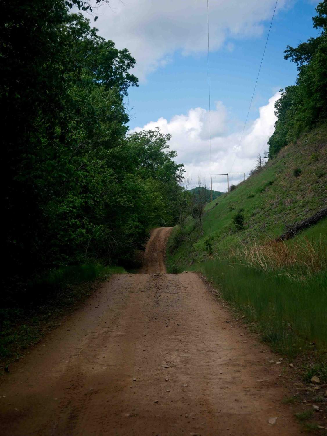
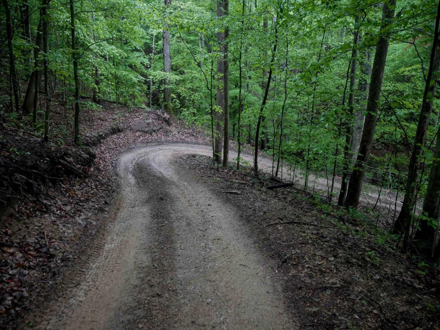
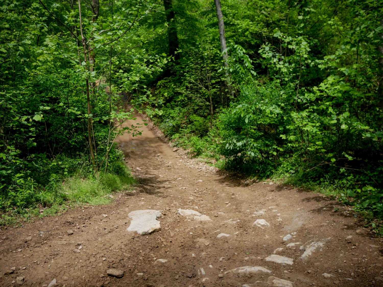
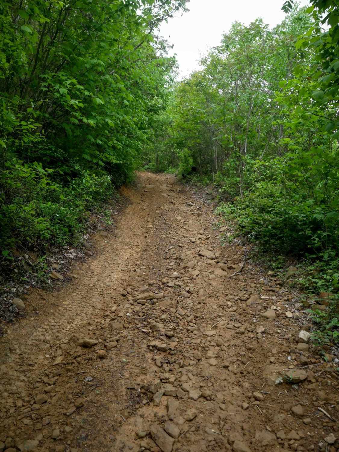
Trail Overview
DA 35 is an easy access corridor consisting of a wide, one-lane shelf trail with smooth rolling terrain and sweeping corners. The route passes through open sections beneath powerlines and includes some overgrown vegetation along the edges. While mostly mild, one steeper rutted segment may become more challenging in wet conditions. Overall, it provides a straightforward connection suited for riders of all skill levels, connecting DA 21 and DA 23.
Photos of DA 35

Difficulty
This is an easy SxS route with no obstacles, great for all skill levels. Note that this is considered More Difficult by Hatfield McCoys' rating system.
DA 35 can be accessed by the following ride types:
- SxS (60")
- ATV (50")
- Dirt Bike
DA 35 Map
Popular Trails

Beech Fork
The onX Offroad Difference
onX Offroad combines trail photos, descriptions, difficulty ratings, width restrictions, seasonality, and more in a user-friendly interface. Available on all devices, with offline access and full compatibility with CarPlay and Android Auto. Discover what you’re missing today!