DA 30
Total Miles
1.9
Technical Rating
Best Time
Spring, Fall, Summer, Winter
Trail Type
60" Trail
Accessible By
Trail Overview
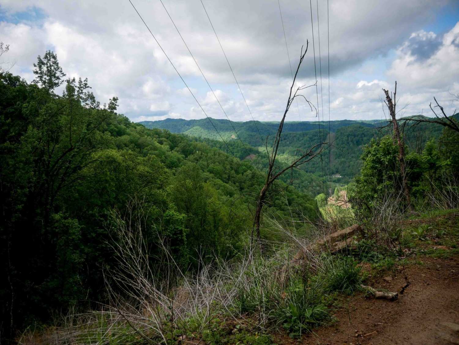
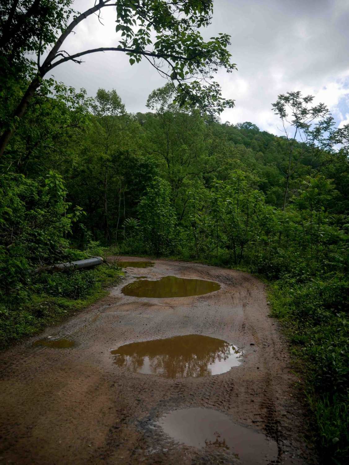
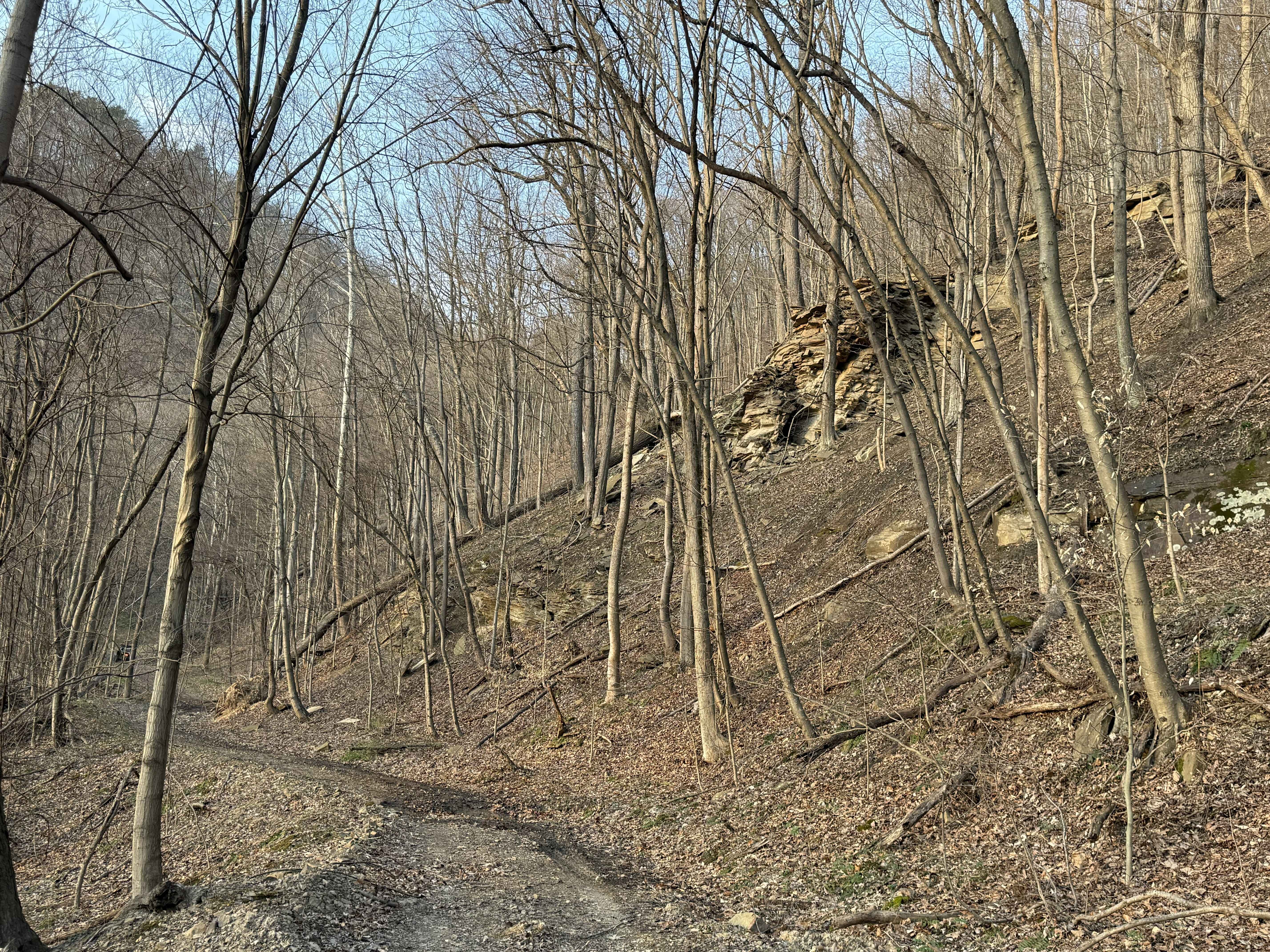
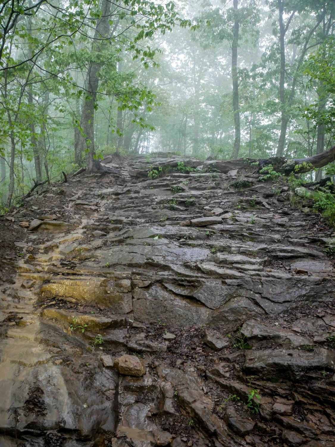
DA 30 is an easy, wide trail that runs alongside a pipeline, offering gradual grades, smooth corners, and plenty of room for two-way travel. The route features scenic rock walls and an overlook under the powerlines that makes a great spot to take a break. Minor embedded rock adds light texture to the otherwise smooth surface. This is a mellow access route that connects the Devil Anse system to the Buffalo Mountain system.
Photos of DA 30
Difficulty
This is an easy SxS route with no obstacles, great for all skill levels.
Status Reports
DA 30 can be accessed by the following ride types:
- SxS (60")
- ATV (50")
- Dirt Bike
DA 30 Map
Popular Trails


Spruce Mountain Trail
The onX Offroad Difference
onX Offroad combines trail photos, descriptions, difficulty ratings, width restrictions, seasonality, and more in a user-friendly interface. Available on all devices, with offline access and full compatibility with CarPlay and Android Auto. Discover what you’re missing today!