DA 18
Total Miles
6.0
Technical Rating
Best Time
Spring, Fall, Summer, Winter
Trail Type
60" Trail
Accessible By
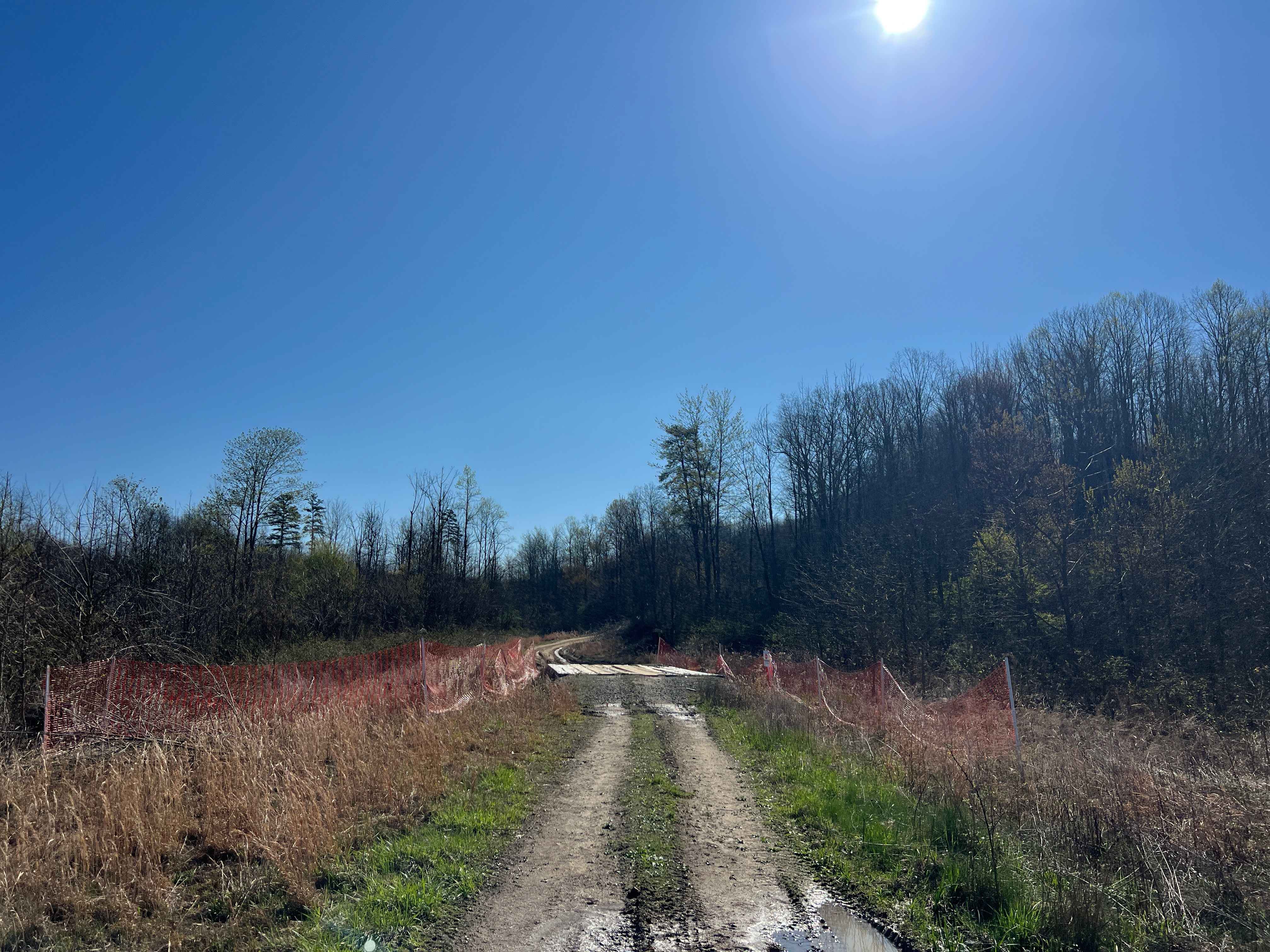
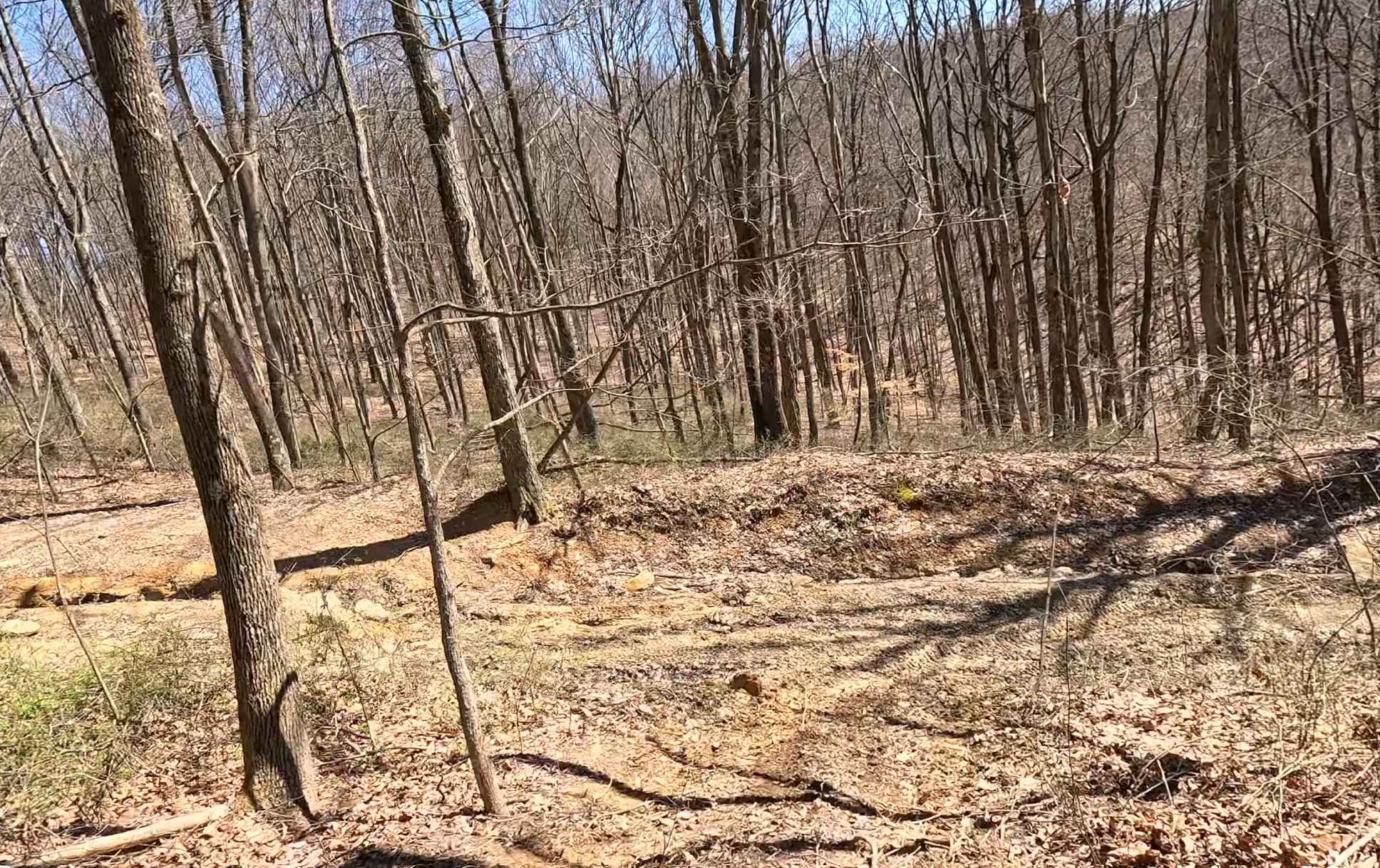
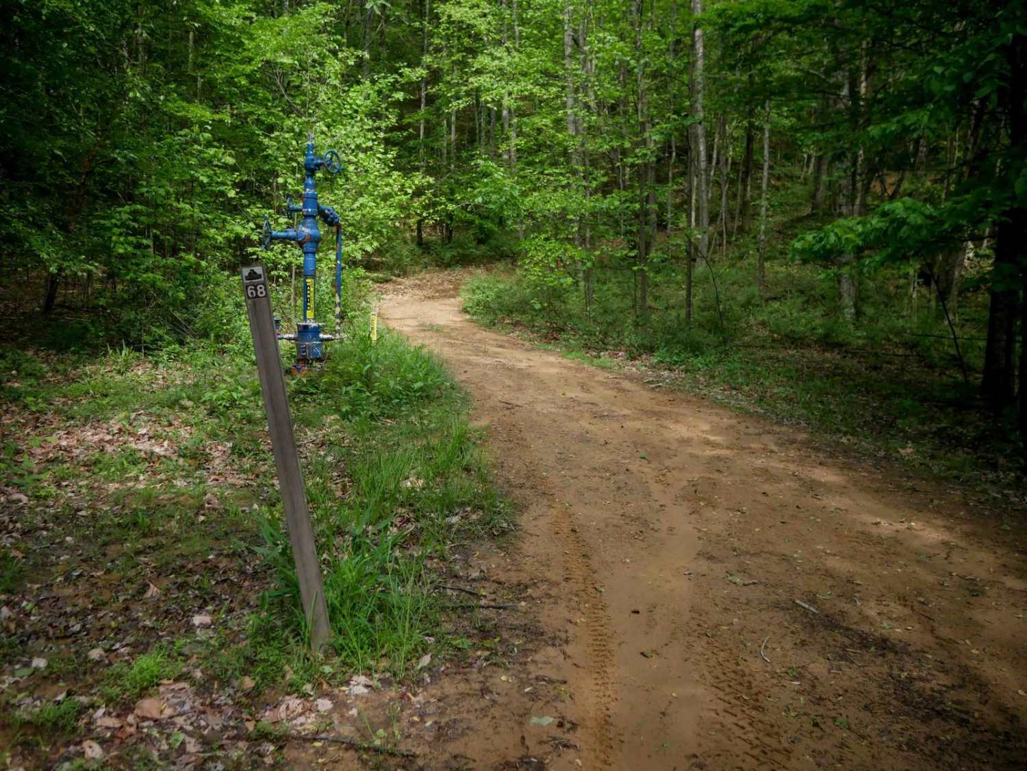
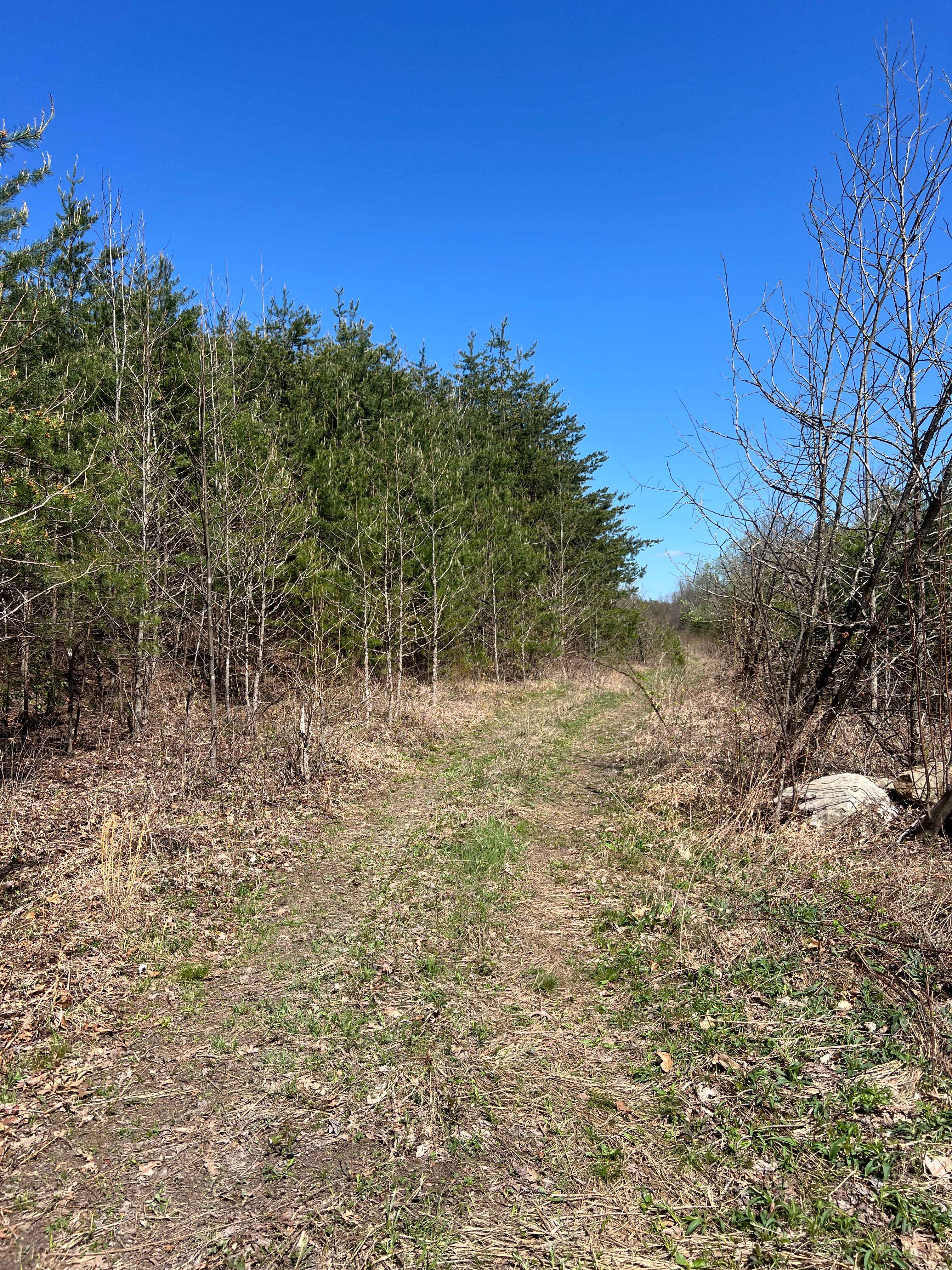
Trail Overview
DA 18 is a long, easy transfer trail featuring a wide path winding through lush forest with scenic rock walls and a tall, leafy canopy. Occasional downed trees and mud puddles may appear after storms, but the trail remains non-technical throughout. Its curvy layout is typical of the easier routes in the Devil Anse system. The south end begins near the staging area--where rider traffic is common--and continues north toward the intersection with the Buffalo Mountain Trail System, providing a smooth connection between trail networks.
Photos of DA 18


Difficulty
This is an easy SxS route with no obstacles, great for all skill levels.
DA 18 can be accessed by the following ride types:
- SxS (60")
- ATV (50")
- Dirt Bike
DA 18 Map
Popular Trails
The onX Offroad Difference
onX Offroad combines trail photos, descriptions, difficulty ratings, width restrictions, seasonality, and more in a user-friendly interface. Available on all devices, with offline access and full compatibility with CarPlay and Android Auto. Discover what you’re missing today!