BM 26
Total Miles
4.6
Technical Rating
Best Time
Spring, Fall, Summer, Winter
Trail Type
60" Trail
Accessible By
Trail Overview
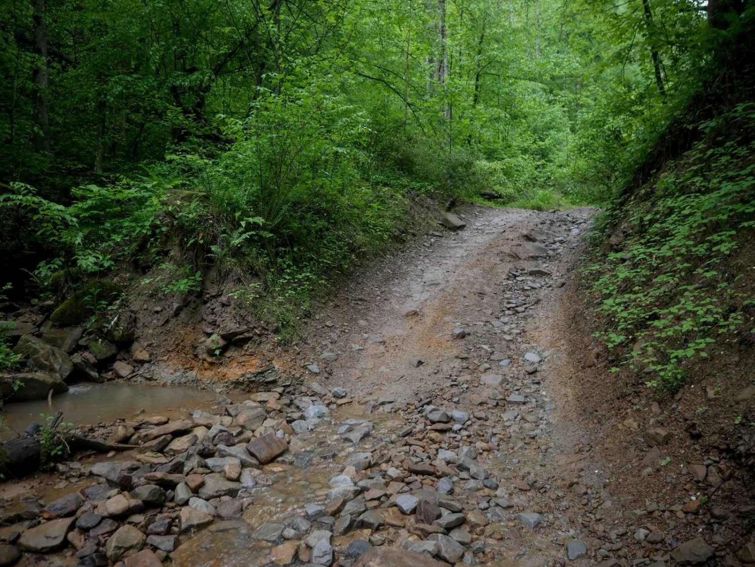
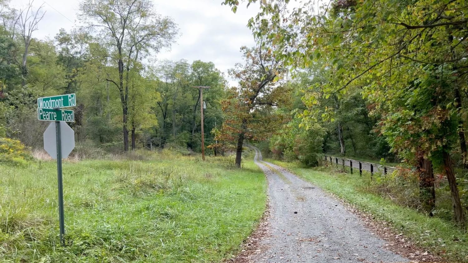
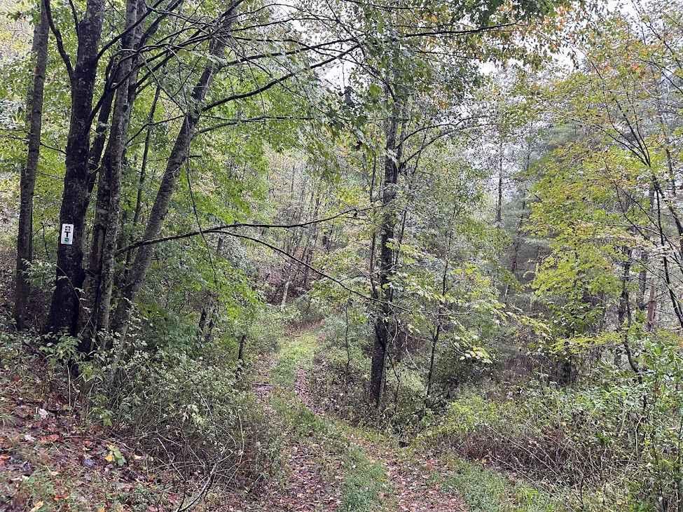
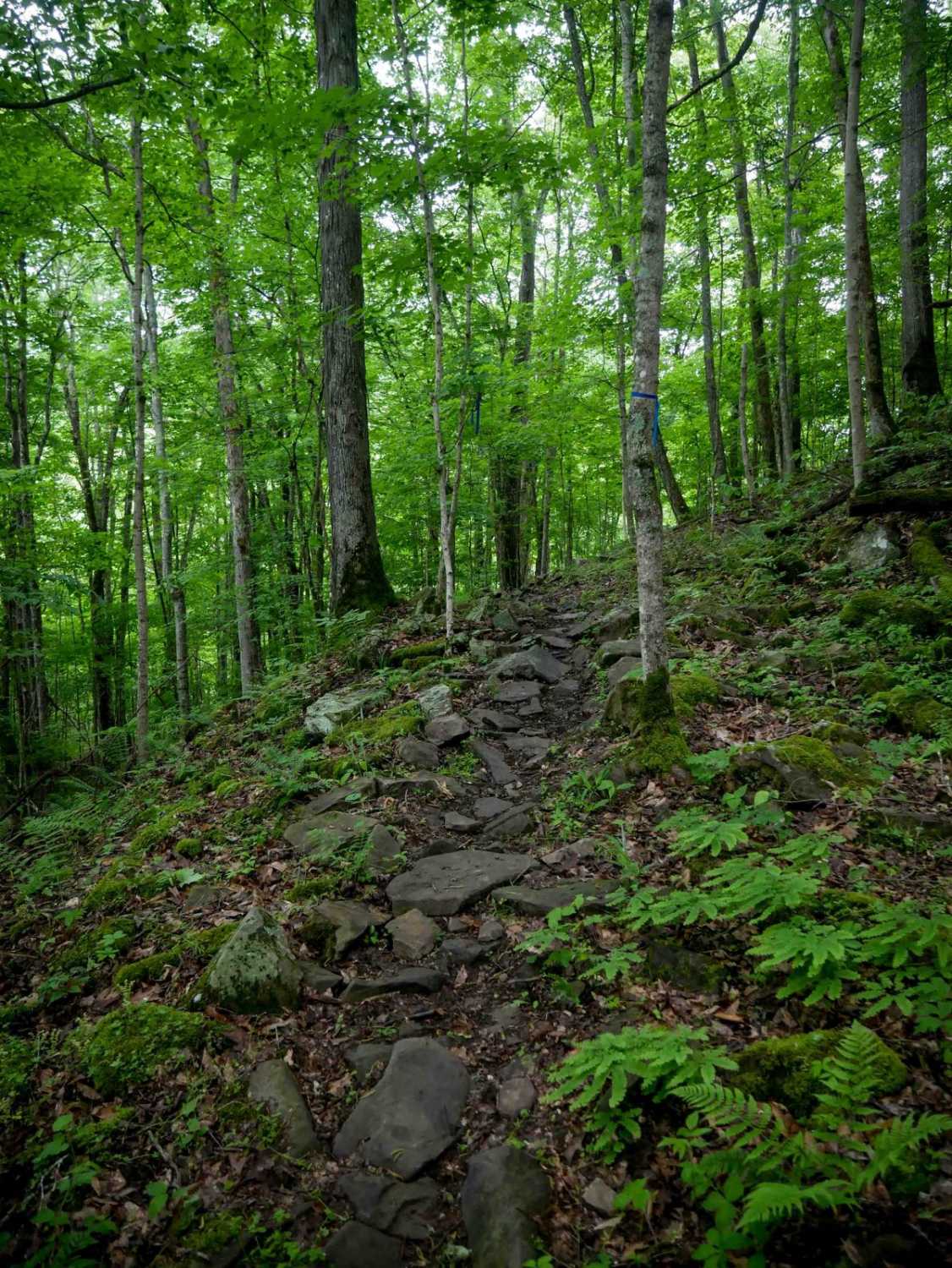
BM 26, when approached from the north, begins as a narrow, shelf-like descent down the mountain with a mostly smooth surface and occasional rocky patches. It drops to the forest floor beside Lick Creek, where lush, jungle-like surroundings and intermittent water on the trail are the norm. The trail gradually climbs again, introducing deeper, rock-filled ruts and slightly off-camber sections, but remains generally easy with navigable hairpin turns. After intersecting with trails 27 and 29, the southern half continues along a scenic, shelfy path beside towering mossy rock walls, widening along a pipeline, and is suitable for two-way travel. Riders should watch for rockfall and washouts from recent storms.
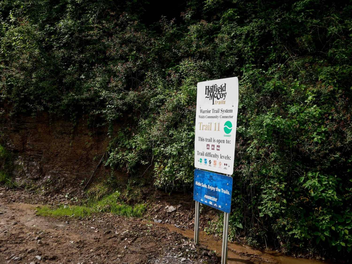
Photos of BM 26

Difficulty
This is a scenic and easy access route through the trail system, with minor ruts and rock, but no large obstacles
Status Reports
BM 26 can be accessed by the following ride types:
- SxS (60")
- ATV (50")
- Dirt Bike
BM 26 Map
Popular Trails
The onX Offroad Difference
onX Offroad combines trail photos, descriptions, difficulty ratings, width restrictions, seasonality, and more in a user-friendly interface. Available on all devices, with offline access and full compatibility with CarPlay and Android Auto. Discover what you’re missing today!