Bearwallow Trail
Total Miles
4.2
Technical Rating
Best Time
Fall
Trail Type
High-Clearance 4x4 Trail
Accessible By
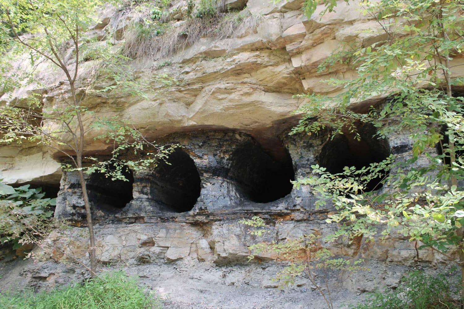
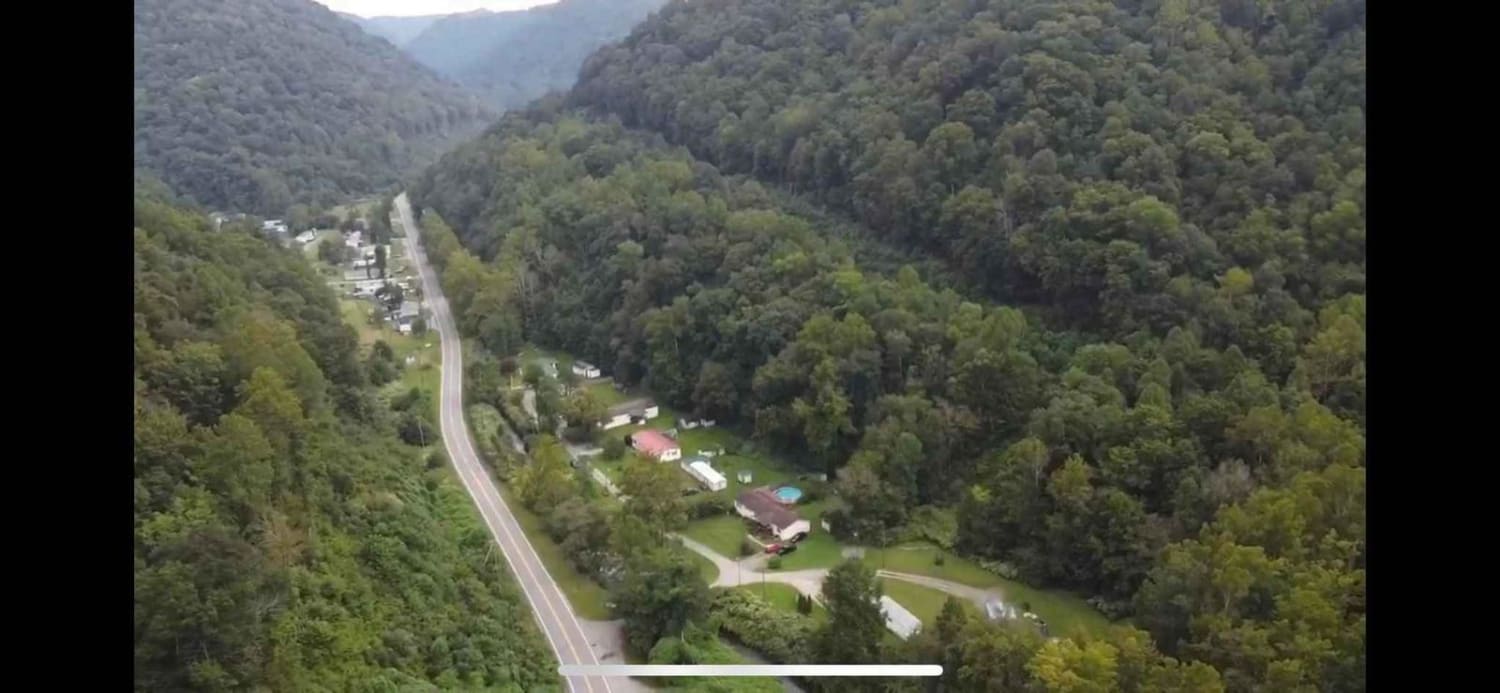
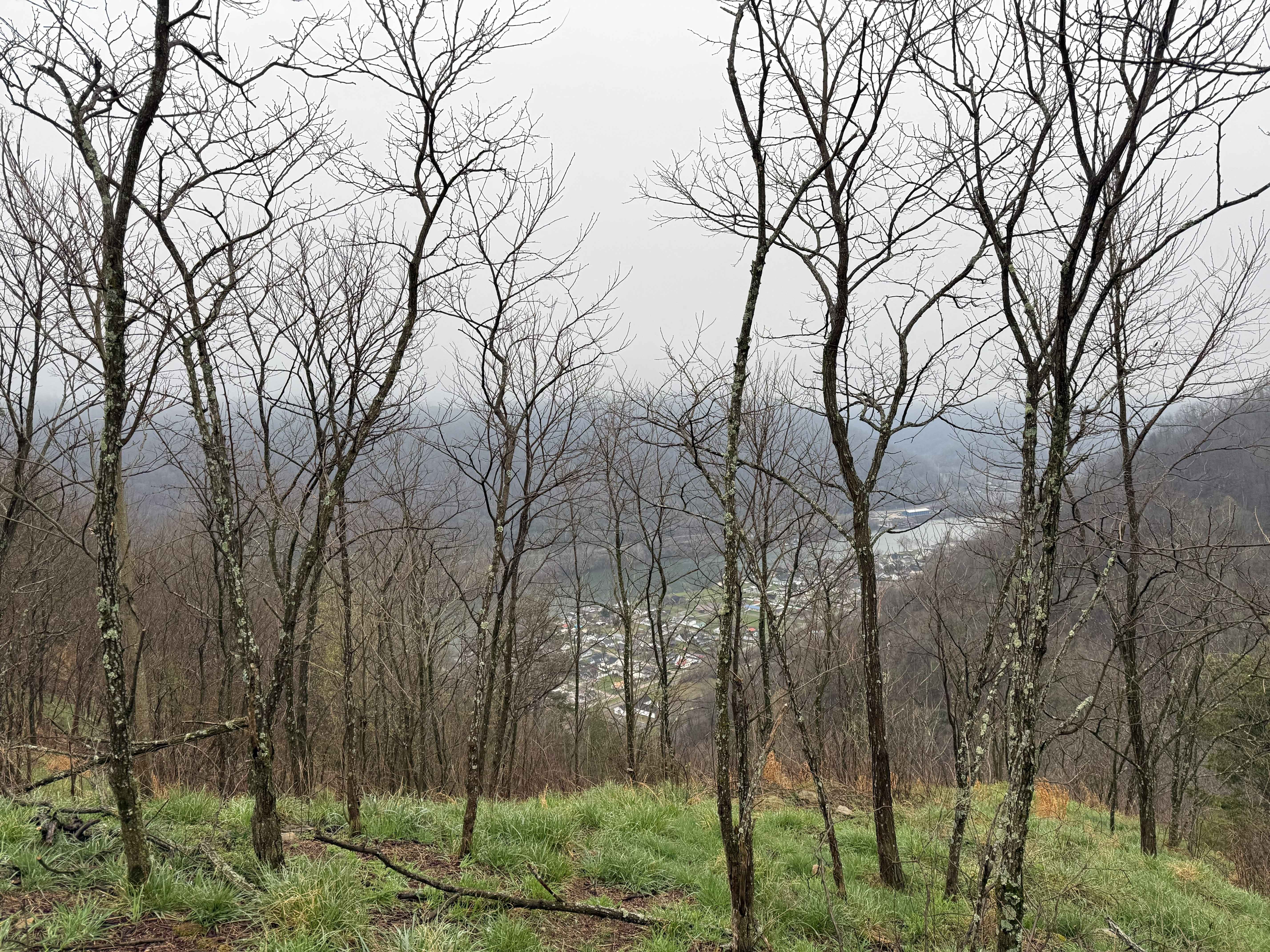
Trail Overview
Trails differ in skill level from blue and green to black and double black diamond. Very friendly for beginners/stock enthusiasts after their first badge. The double black diamond look to be a bit rough. I personally did not try them, as I am not built for them. The views, wildlife, and signs of mining are seen almost everywhere.
Photos of Bearwallow Trail
Difficulty
Ranges from easy to difficult. Most of the trail system is stock friendly.
Status Reports
Bearwallow Trail can be accessed by the following ride types:
- High-Clearance 4x4
- SxS (60")
- ATV (50")
- Dirt Bike
Bearwallow Trail Map
Popular Trails

Tams Loop Green


The onX Offroad Difference
onX Offroad combines trail photos, descriptions, difficulty ratings, width restrictions, seasonality, and more in a user-friendly interface. Available on all devices, with offline access and full compatibility with CarPlay and Android Auto. Discover what you’re missing today!