B85
Total Miles
0.7
Technical Rating
Best Time
Fall, Spring, Summer, Winter
Trail Type
High-Clearance 4x4 Trail
Accessible By
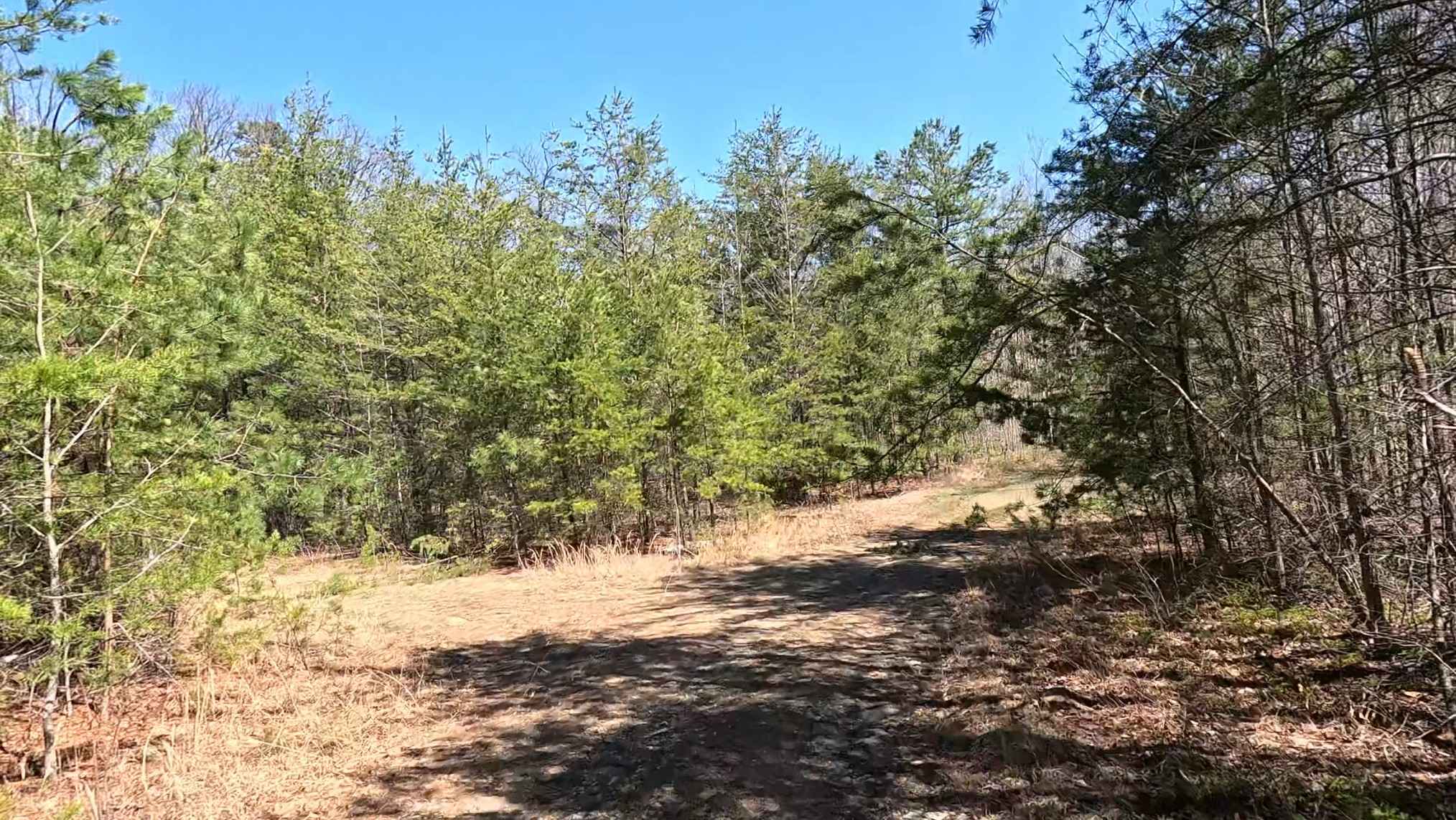
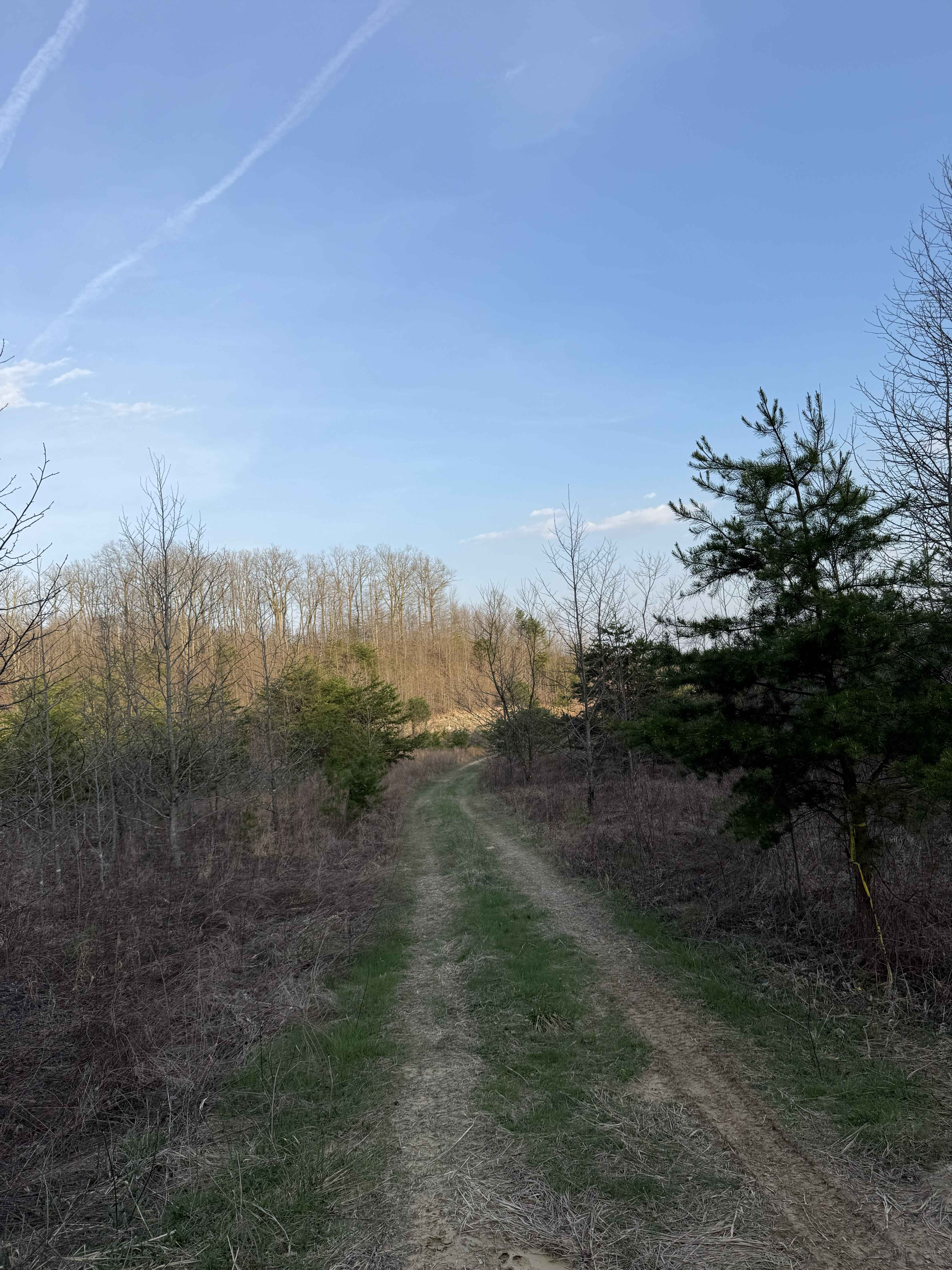
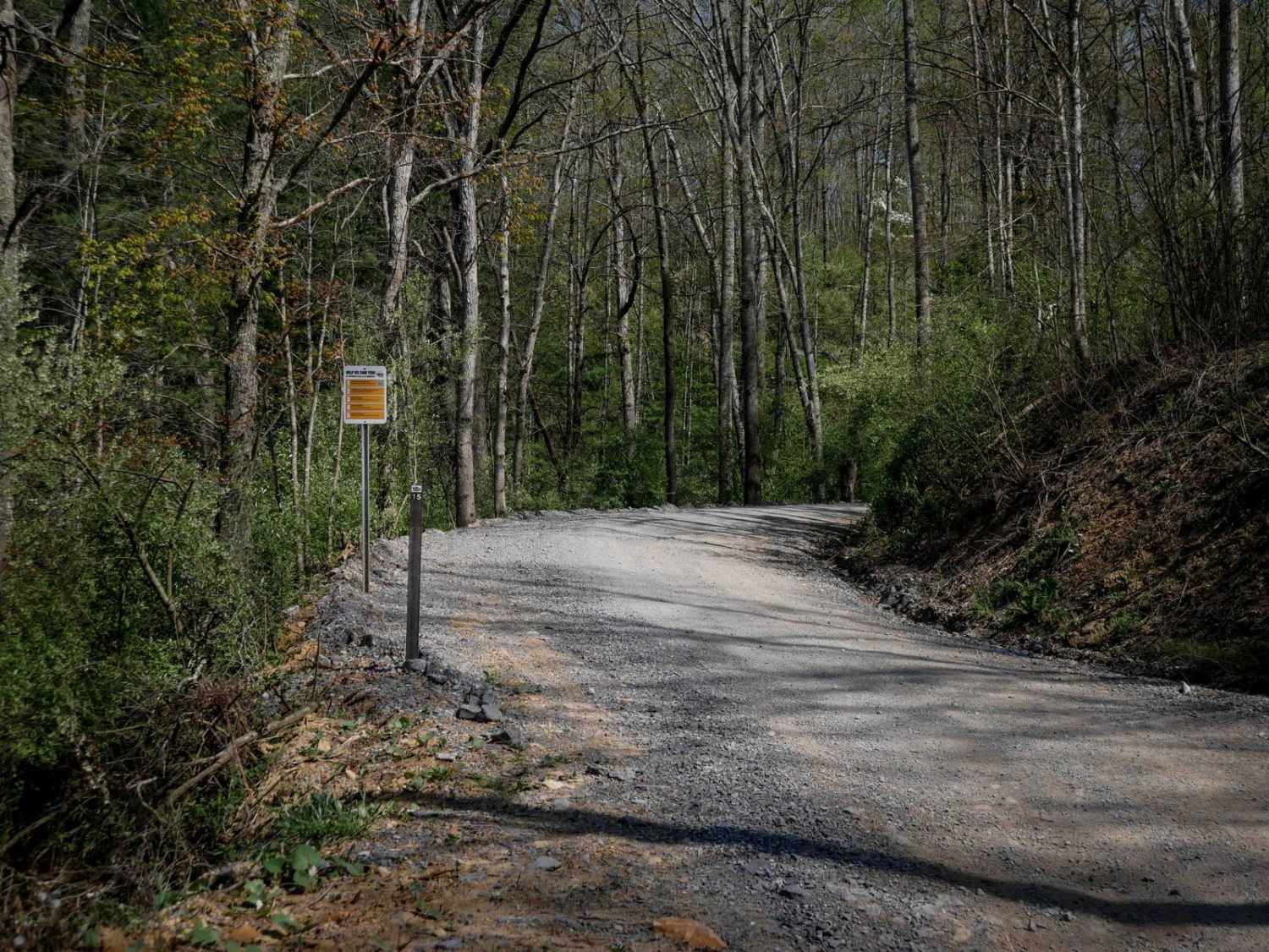
Trail Overview
B85 is a 0.7-mile moderate route that connects B19 to B43, descending the entire way from B19, following a one-lane-wide shelf path with shallow ruts, loose rock, and consistently steep grades. The descent includes a couple sweeping switchbacks. While there are no major rock obstacles, the narrow width and sustained steepness make it moderately challenging.
Photos of B85


Difficulty
This is an intermediate trail due to the steep grade and rocky surface the entire way. This is considered Most Difficult by Hatfield McCoy's rating system.
Status Reports
B85 can be accessed by the following ride types:
- High-Clearance 4x4
- SxS (60")
- ATV (50")
- Dirt Bike
B85 Map
Popular Trails

The onX Offroad Difference
onX Offroad combines trail photos, descriptions, difficulty ratings, width restrictions, seasonality, and more in a user-friendly interface. Available on all devices, with offline access and full compatibility with CarPlay and Android Auto. Discover what you’re missing today!