B80
Total Miles
0.5
Technical Rating
Best Time
Fall, Spring, Summer, Winter
Trail Type
High-Clearance 4x4 Trail
Accessible By
Trail Overview
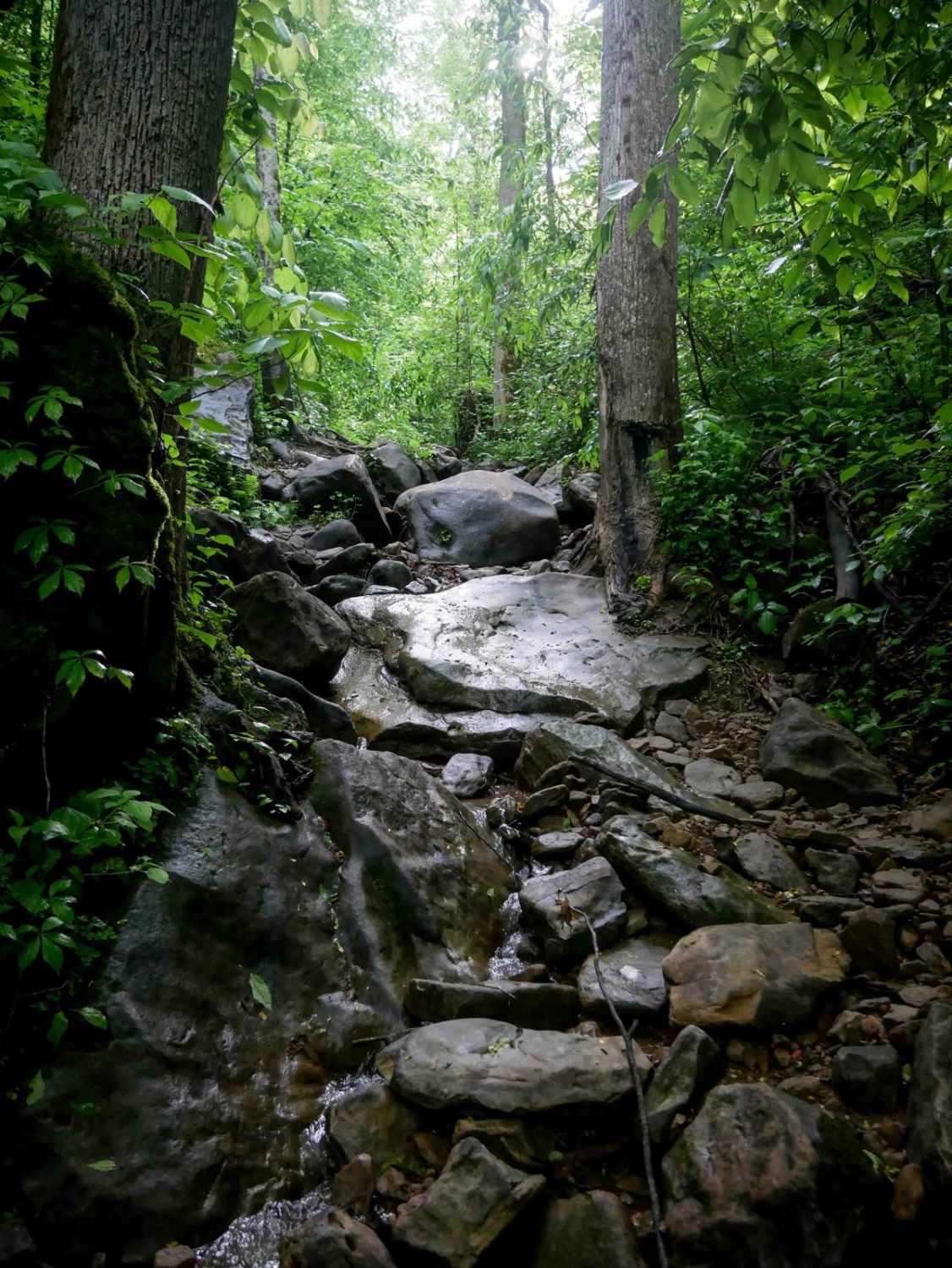
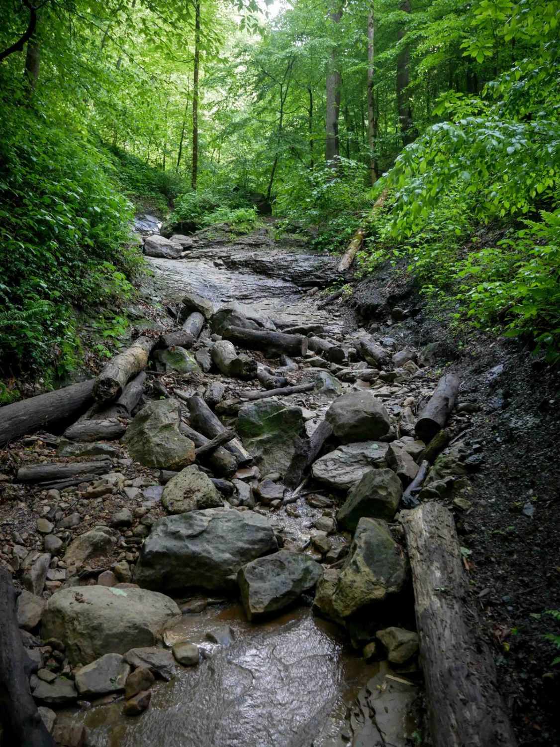
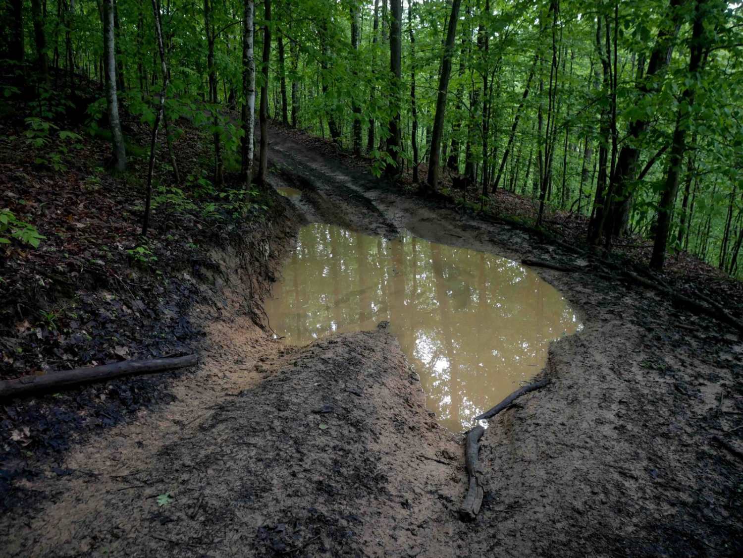
This nearly half-mile trail climbs steadily through a tight, technical ravine filled with continuous rock obstacles (ascending east to west). Water runs down the ravine, creating a slick surface that challenges traction from the start. The ravine is packed with large loose rocks, boulders, downed logs, and blunt ledges up several feet tall that function like natural waterfalls. As the trail continues, drivers will encounter long slickrock slabs - ramped and slippery like waterslides - and increasingly steep grades. Off-camber ledges, exposed roots, and tight lines between boulder piles and trees make tire placement extremely difficult. This is a slow, demanding climb that will test the skills of even experienced drivers.
Photos of B80
Difficulty
This is an advanced trail with large shelves/drop-offs, slick boulders, and tight terrain. This is considered Extreme by Hatfield McCoy's rating system.
Status Reports
B80 can be accessed by the following ride types:
- High-Clearance 4x4
- SxS (60")
- ATV (50")
- Dirt Bike
B80 Map
Popular Trails


The onX Offroad Difference
onX Offroad combines trail photos, descriptions, difficulty ratings, width restrictions, seasonality, and more in a user-friendly interface. Available on all devices, with offline access and full compatibility with CarPlay and Android Auto. Discover what you’re missing today!