B70
Total Miles
0.4
Technical Rating
Best Time
Spring, Fall, Summer, Winter
Trail Type
High-Clearance 4x4 Trail
Accessible By
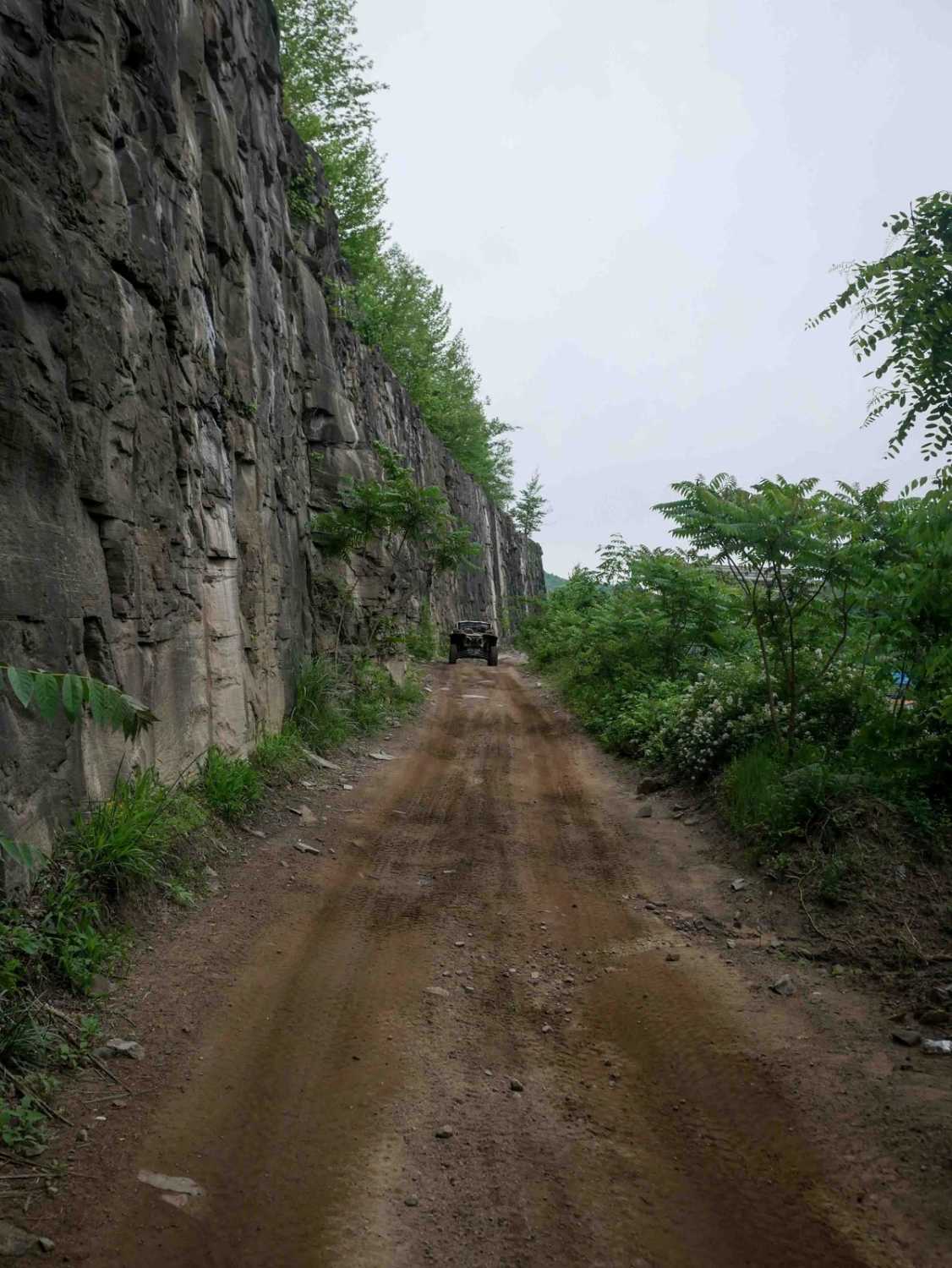
Trail Overview
This 600-yard-long trail features an extremely steep descent from east to west, with an elevation loss of almost 500 feet. The steep grade is the main challenge, with loose rocks present in the ruts but no major obstacles. Overall, it offers a moderate level of difficulty, best for drivers with a bit more experience. Slow and steady momentum is the key in the uphill direction. It connects B29 to B12.
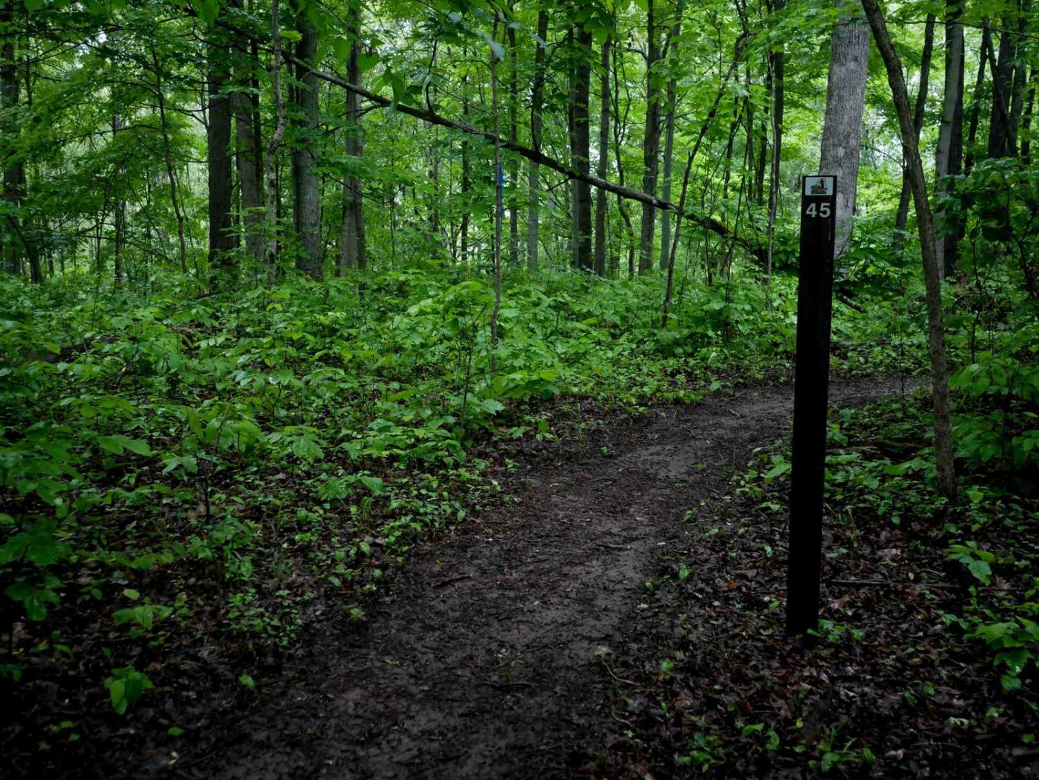
Photos of B70


Difficulty
This is a moderate trail due to steep rocky grades. This is considered Most Difficult by Hatfield McCoy's rating system.
Status Reports
B70 can be accessed by the following ride types:
- High-Clearance 4x4
- SxS (60")
- ATV (50")
- Dirt Bike
B70 Map
Popular Trails


The onX Offroad Difference
onX Offroad combines trail photos, descriptions, difficulty ratings, width restrictions, seasonality, and more in a user-friendly interface. Available on all devices, with offline access and full compatibility with CarPlay and Android Auto. Discover what you’re missing today!