B53
Total Miles
0.1
Technical Rating
Best Time
Fall, Spring, Summer, Winter
Trail Type
High-Clearance 4x4 Trail
Accessible By
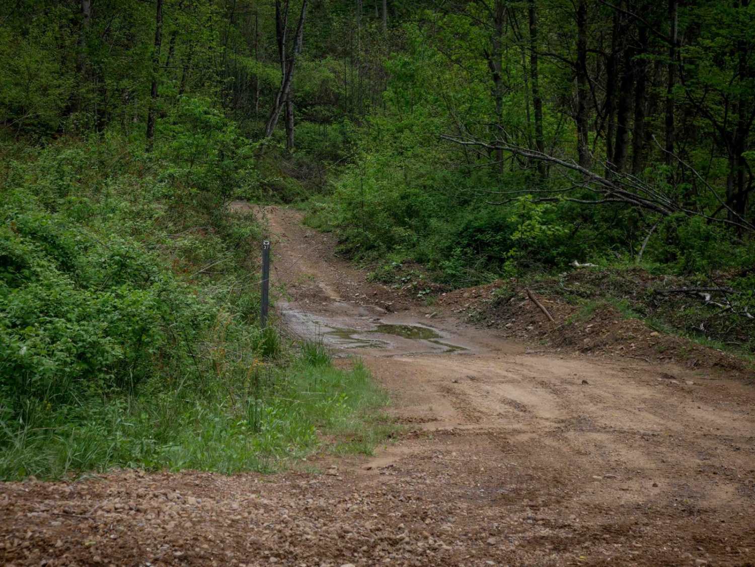
Trail Overview
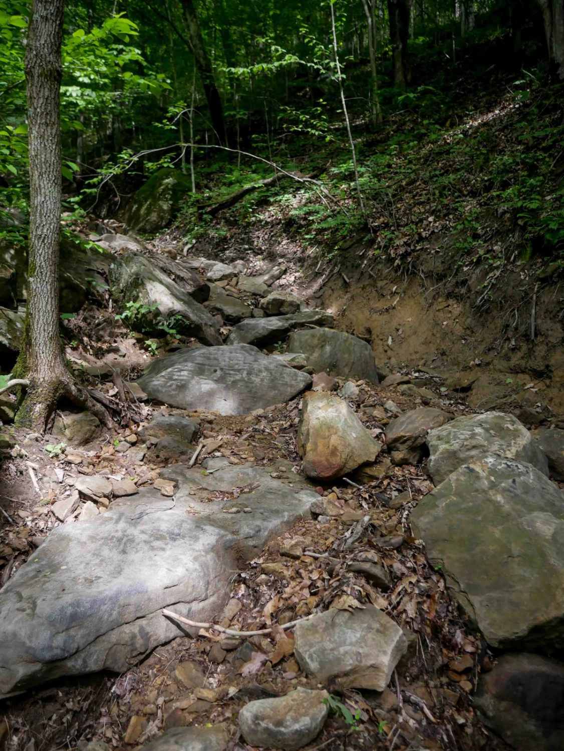
B53 drops off of B50 into a rocky, narrow ravine and descends steeply from north to south. Though just 170 yards long, this short advanced trail is packed with technical features. The tight path is lined closely by a couple of trees and filled with large loose river rock, boulders, and foot-high drop-offs. Decaying leaf litter makes traction difficult, and the steep, troughed ravine has off-camber walls that add to the challenge. It's a quick but demanding descent suited for highly experienced drivers.
Photos of B53

Difficulty
This is an advanced trail with large rock features in a tight ravine. This is considered Extreme by Hatfield McCoy's rating system.
Status Reports
B53 can be accessed by the following ride types:
- High-Clearance 4x4
- SxS (60")
- ATV (50")
- Dirt Bike
B53 Map
Popular Trails


The onX Offroad Difference
onX Offroad combines trail photos, descriptions, difficulty ratings, width restrictions, seasonality, and more in a user-friendly interface. Available on all devices, with offline access and full compatibility with CarPlay and Android Auto. Discover what you’re missing today!