B48
Total Miles
1.0
Technical Rating
Best Time
Fall, Spring, Summer, Winter
Trail Type
High-Clearance 4x4 Trail
Accessible By
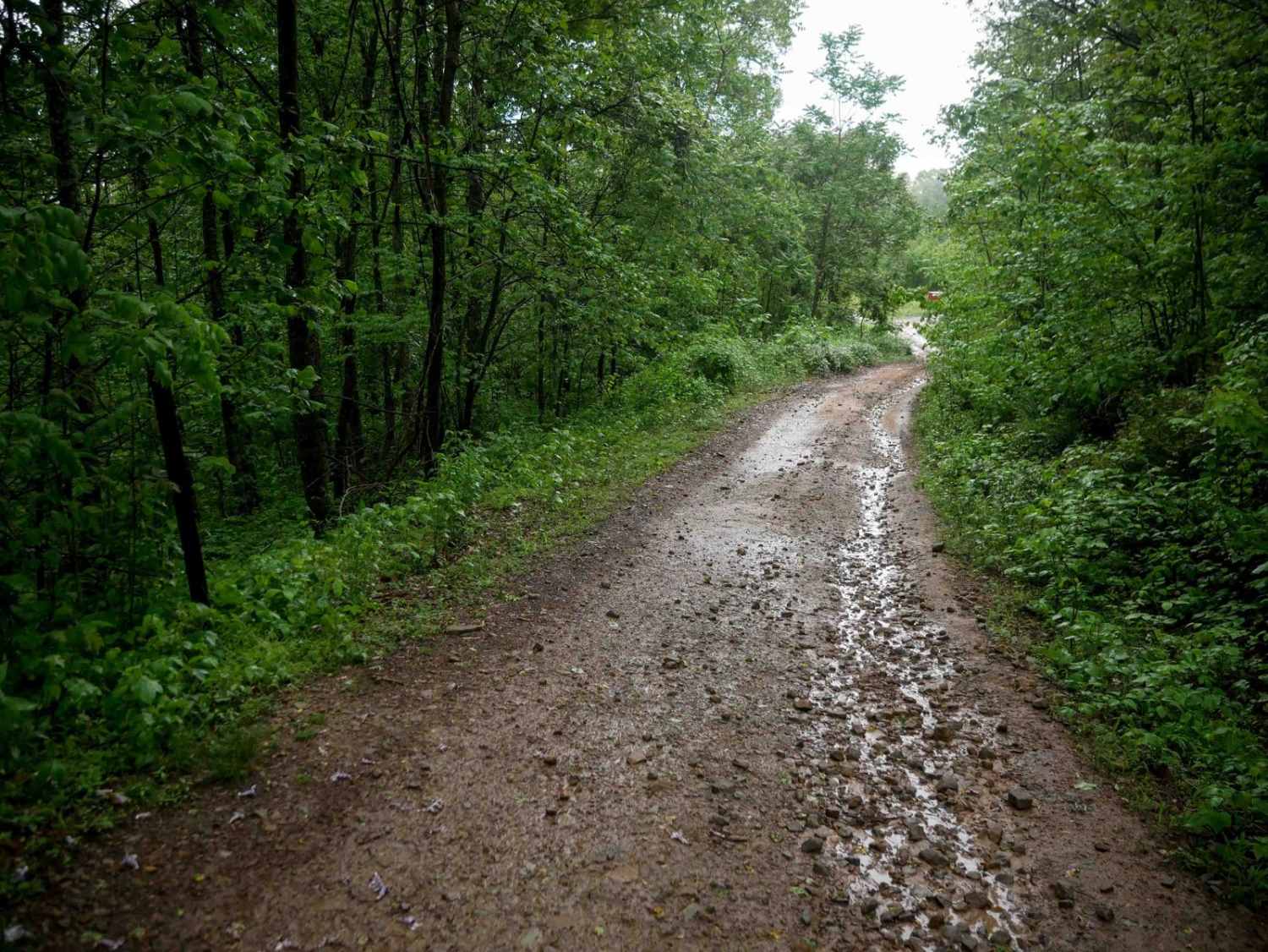
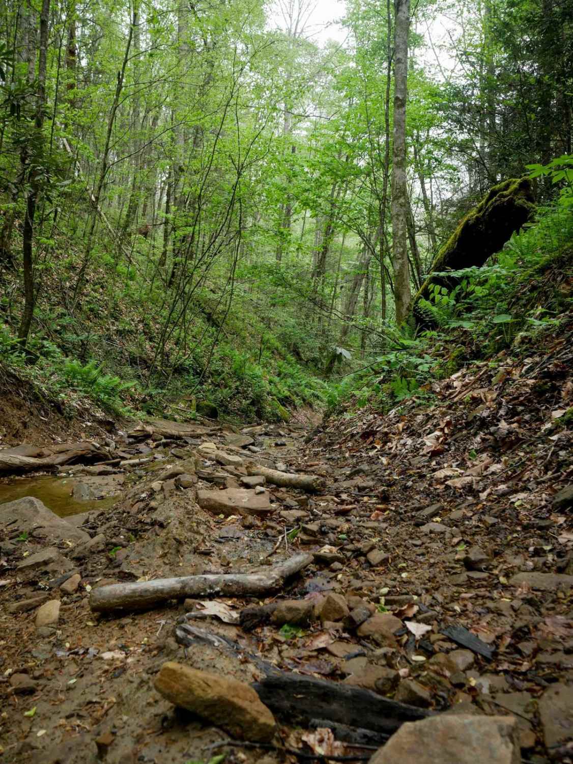
Trail Overview
B48 runs for 1.1 miles, beginning as a wide, flat trail that crosses open meadows along a hilltop. The terrain quickly changes as the route descends into a lush forest, narrowing and becoming more rugged with loose rock, ruts, and steeper grades, but mostly gradual corners. After the initial drop, the trail levels out as it approaches the west end. B48 serves as a connector between trails 26 and 41 and offers a mix of open and wooded terrain, making it an easy and manageable option for most 4x4 drivers.
Photos of B48

Difficulty
This is an easier route with loose rock and ruts, and steep spots. This is considered Moderate by Hatfield McCoy's rating system.
Status Reports
B48 can be accessed by the following ride types:
- High-Clearance 4x4
- SxS (60")
- ATV (50")
- Dirt Bike
B48 Map
Popular Trails


Play Area Green
The onX Offroad Difference
onX Offroad combines trail photos, descriptions, difficulty ratings, width restrictions, seasonality, and more in a user-friendly interface. Available on all devices, with offline access and full compatibility with CarPlay and Android Auto. Discover what you’re missing today!