B46
Total Miles
0.1
Technical Rating
Best Time
Fall, Spring, Summer, Winter
Trail Type
High-Clearance 4x4 Trail
Accessible By
Trail Overview
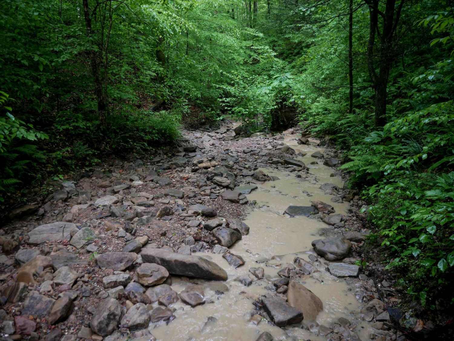
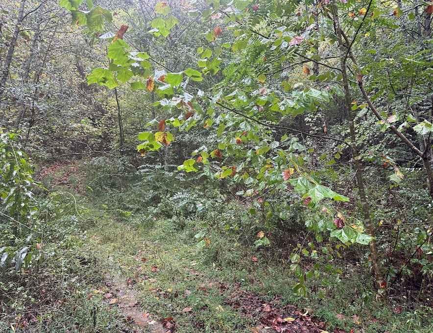
Trail 46 is an advanced route that challenges drivers with constant slick, rocky terrain. After dropping down from B12, there's a massive slickrock slab at the intersection with a 45-degree broad, ramped rock face covered in water, making it feel like driving across a flat waterfall. The surrounding ravine is filled with river rock, large loose boulders, and embedded rock layers that form multiple ledges, some up to two feet tall. Wet surfaces, log debris, and tight, overgrown sections with low-hanging branches make this a tight squeeze for full-size ORVs. It stays in the ravine as it climbs back up to Trail 47. As of May 2025, a significant tree slide a quarter mile from the west entrance currently blocks further passage, making this trail impassable from that direction.
Photos of B46

Difficulty
The first quarter mile of IB 46 is an intermediate trail with constant rock and very steep grades for more skilled drivers, but the rest of the trail looks like it's even more advanced, with continuous rock features. The entire trail is considered Extreme by Hatfield McCoy's Rating System.
Status Reports
B46 can be accessed by the following ride types:
- High-Clearance 4x4
- SxS (60")
- ATV (50")
- Dirt Bike
B46 Map
Popular Trails


The onX Offroad Difference
onX Offroad combines trail photos, descriptions, difficulty ratings, width restrictions, seasonality, and more in a user-friendly interface. Available on all devices, with offline access and full compatibility with CarPlay and Android Auto. Discover what you’re missing today!