B44
Total Miles
1.5
Technical Rating
Best Time
Fall, Spring, Summer, Winter
Trail Type
High-Clearance 4x4 Trail
Accessible By
Trail Overview
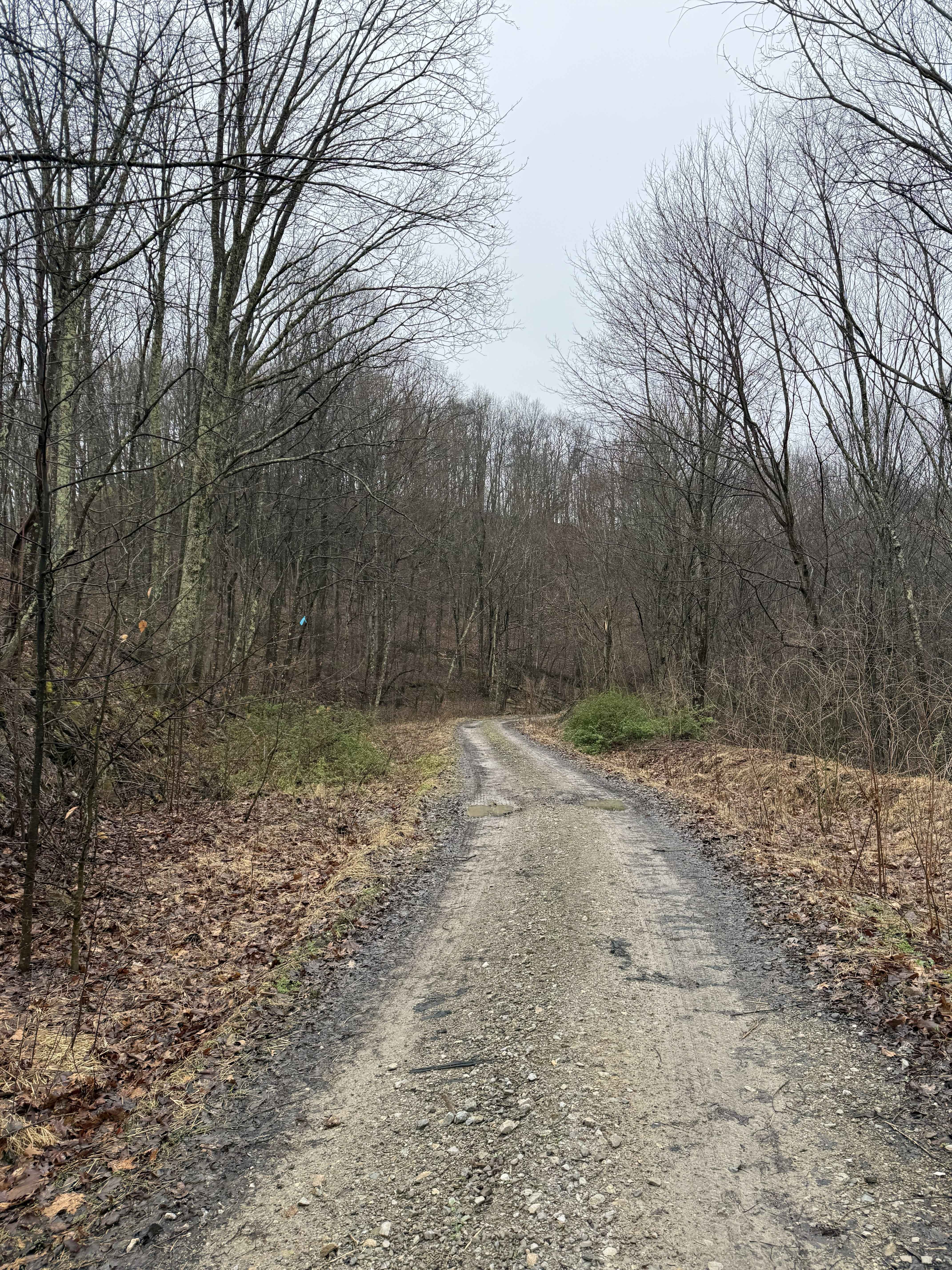
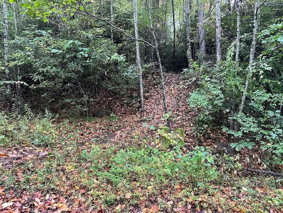
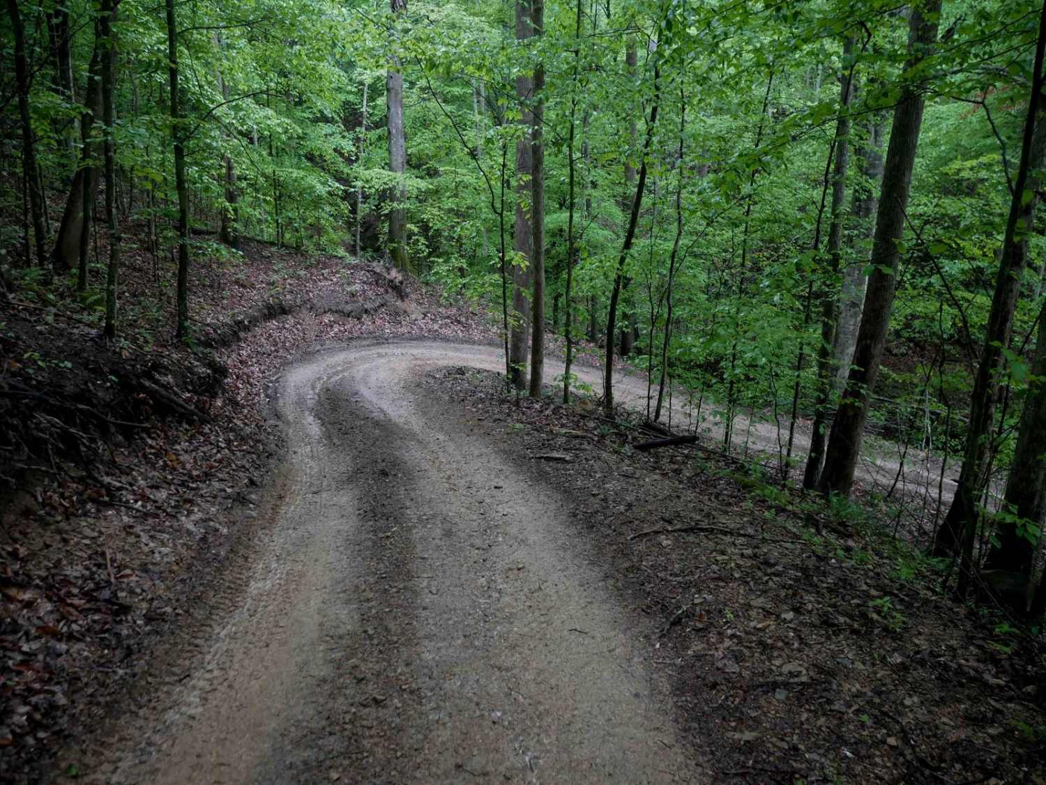
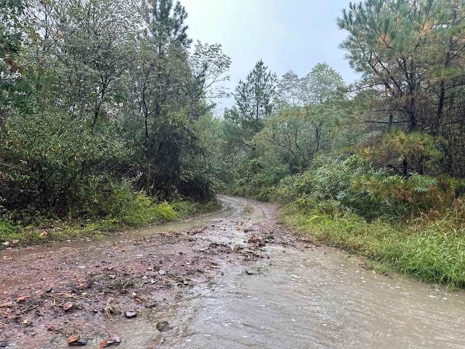
B44 is a 1.5-mile route that begins at the north end of the Bearwallow parking lot and serves as a key entry trail into the system. The route starts with a semi-steep climb up a rutted path scattered with loose rocks and waterbars. It narrows in places as it cuts through thick brush and transitions to a shelf road crossing the mountainside. The surface includes some flat embedded rock that adds texture without significantly increasing difficulty. Though narrow and uneven in spots, B44 remains a relatively easy trail suitable for most drivers with basic off-road experience.
Photos of B44


Difficulty
This is an easier route with loose rock and ruts, and steep spots. This is considered Most Difficult by Hatfield McCoy's rating system.
Status Reports
B44 can be accessed by the following ride types:
- High-Clearance 4x4
- SxS (60")
- ATV (50")
- Dirt Bike
B44 Map
Popular Trails
199 Single Track
The onX Offroad Difference
onX Offroad combines trail photos, descriptions, difficulty ratings, width restrictions, seasonality, and more in a user-friendly interface. Available on all devices, with offline access and full compatibility with CarPlay and Android Auto. Discover what you’re missing today!