B41
Total Miles
1.0
Technical Rating
Best Time
Fall, Spring, Summer, Winter
Trail Type
High-Clearance 4x4 Trail
Accessible By
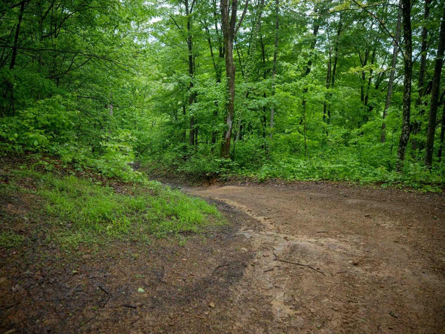
Trail Overview
B41 is a one-mile route that descends from west to east with a generally easy difficulty level despite its steeper slope in sections. The trail features loose rocks, shallow ruts, and water bars, with some narrower segments that require a bit more caution. Drivers will pass through classic Appalachian forest, with dense stands of beech trees and sugar maples lining the route. While the descent and occasional uneven ground may require attention, the trail remains accessible for most off-road vehicles with moderate clearance and basic driver experience.
Photos of B41

Difficulty
This is an easier route with loose rock and ruts, and steep spots.
Status Reports
B41 can be accessed by the following ride types:
- High-Clearance 4x4
- SxS (60")
- ATV (50")
- Dirt Bike
B41 Map
Popular Trails

13 Connector


The onX Offroad Difference
onX Offroad combines trail photos, descriptions, difficulty ratings, width restrictions, seasonality, and more in a user-friendly interface. Available on all devices, with offline access and full compatibility with CarPlay and Android Auto. Discover what you’re missing today!