B19
Total Miles
2.3
Technical Rating
Best Time
Fall, Spring, Summer, Winter
Trail Type
High-Clearance 4x4 Trail
Accessible By
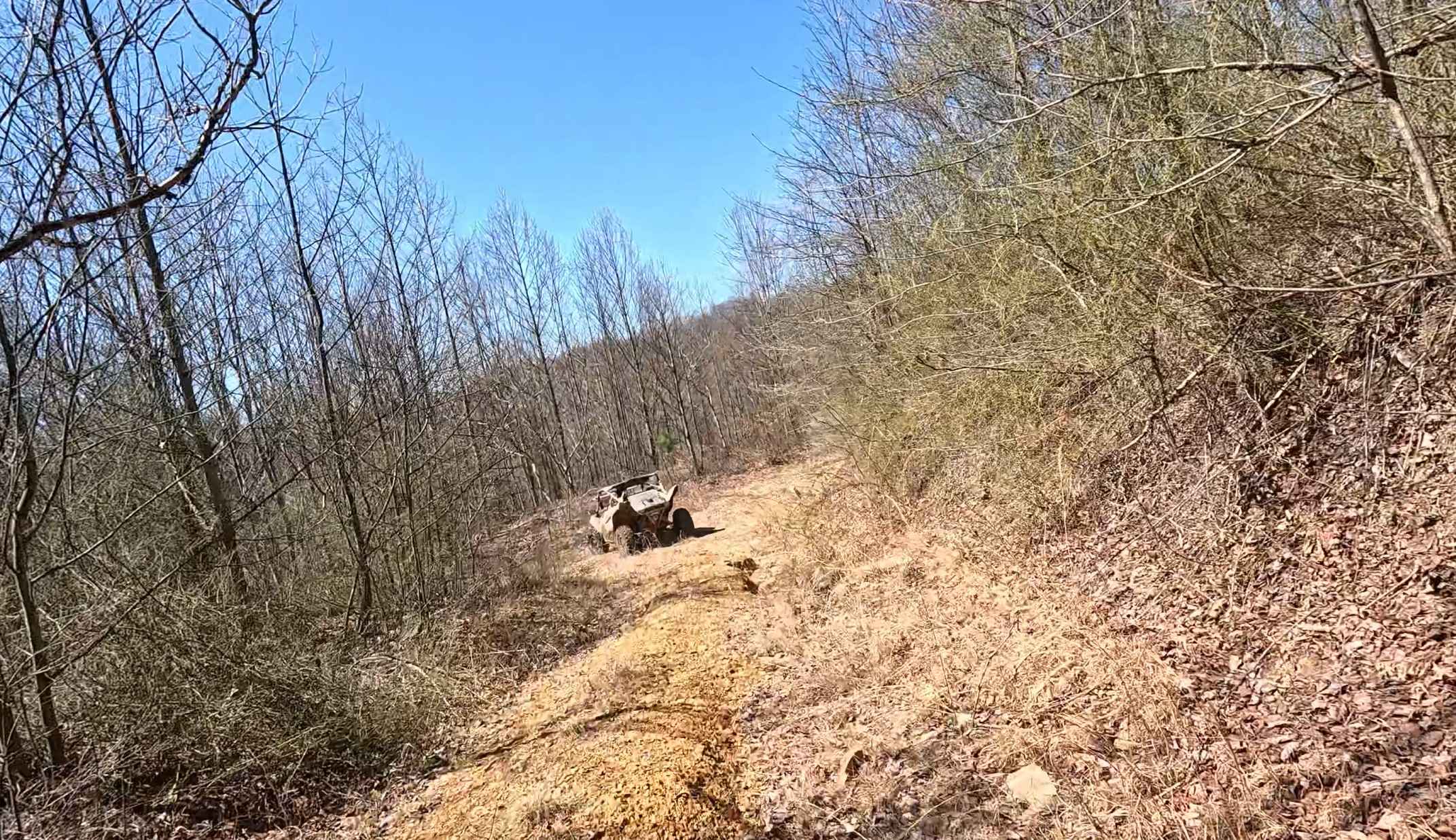
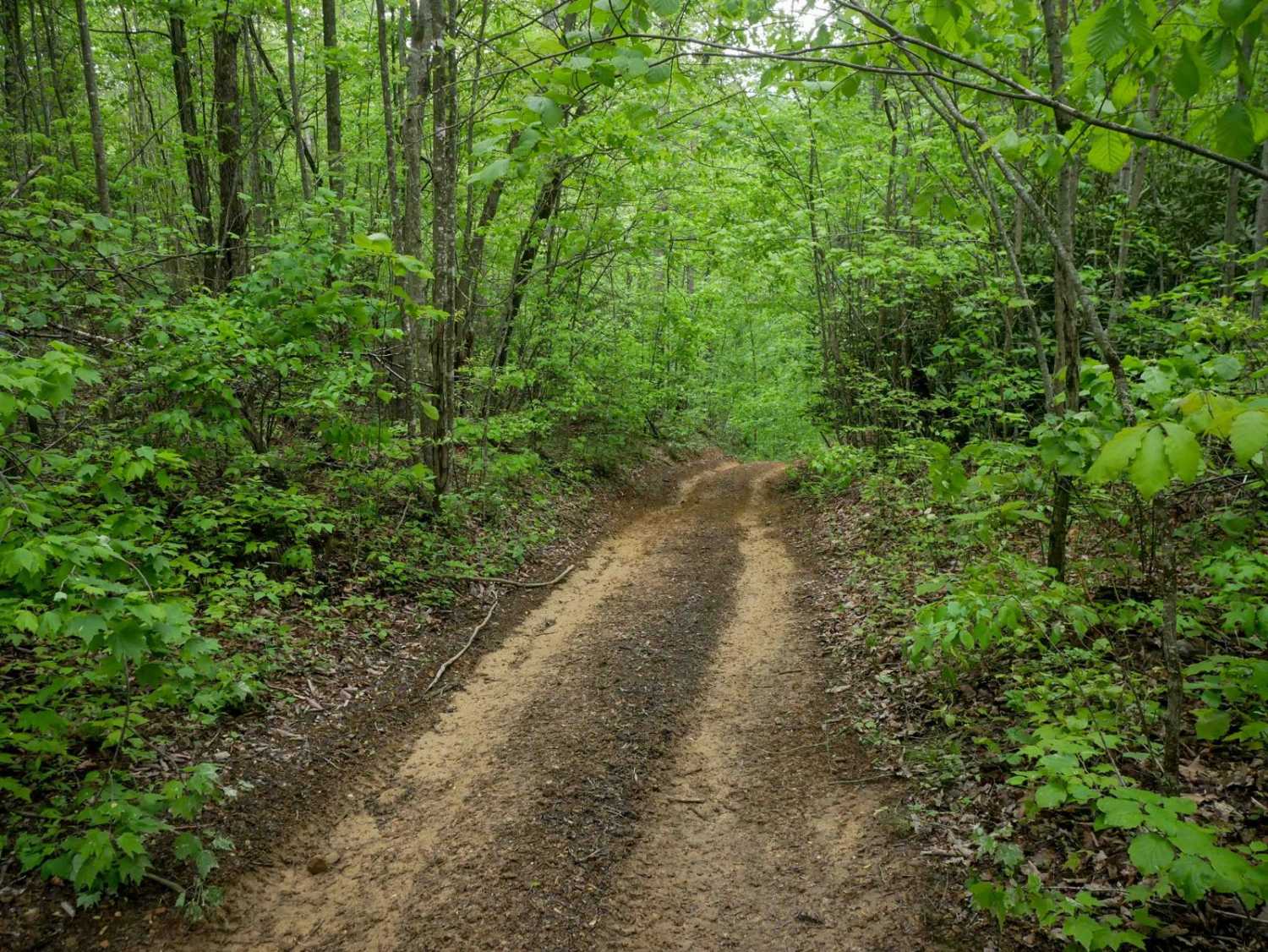
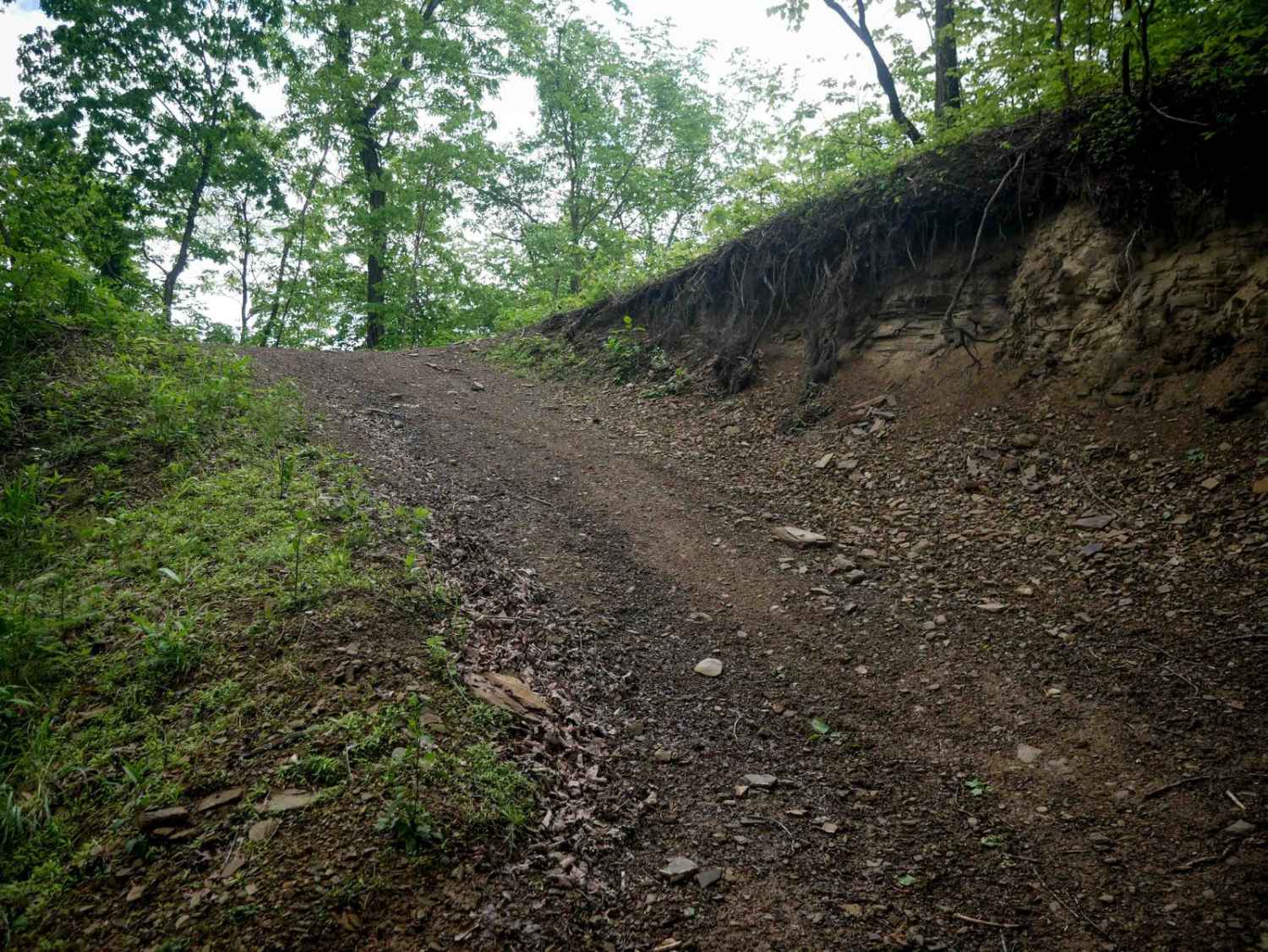
Trail Overview
This 2.4-mile long trail is an easy route that takes you from the intersection with 15 (near the town of Logan), deeper into the trail system. It features more pronounced ruts in spots with loose rock and some embedded rock surfaces. There are a few steeper sections, but it remains overall easy with slightly more technical aspects and a bumpy surface. The trail includes wide, gradual switchbacks and passes by a cell tower and power lines on the hilltop.
Photos of B19


Difficulty
This is overall an easy trail with several rockier spots, but ideal for all skill levels.
Status Reports
B19 can be accessed by the following ride types:
- High-Clearance 4x4
- SxS (60")
- ATV (50")
- Dirt Bike
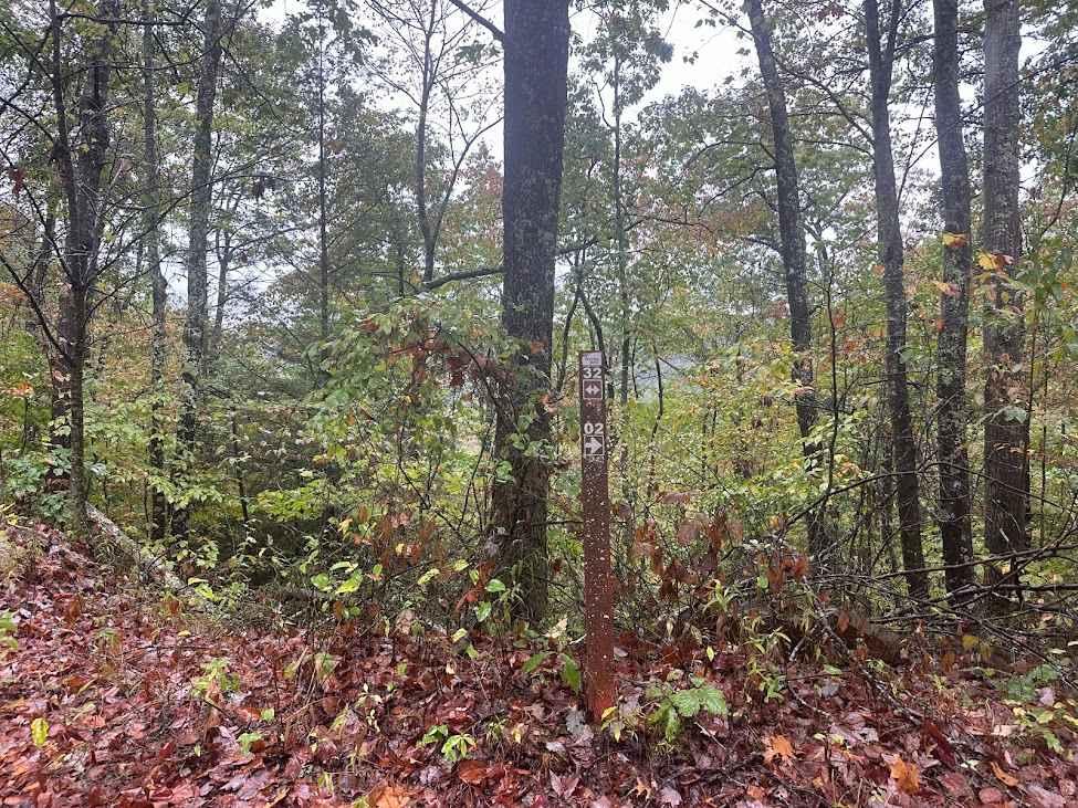
B19 Map
Popular Trails
The onX Offroad Difference
onX Offroad combines trail photos, descriptions, difficulty ratings, width restrictions, seasonality, and more in a user-friendly interface. Available on all devices, with offline access and full compatibility with CarPlay and Android Auto. Discover what you’re missing today!