Jackknife Mtn
Total Miles
20.7
Technical Rating
Best Time
Trail Type
Full-Width Road
Accessible By
Trail Overview
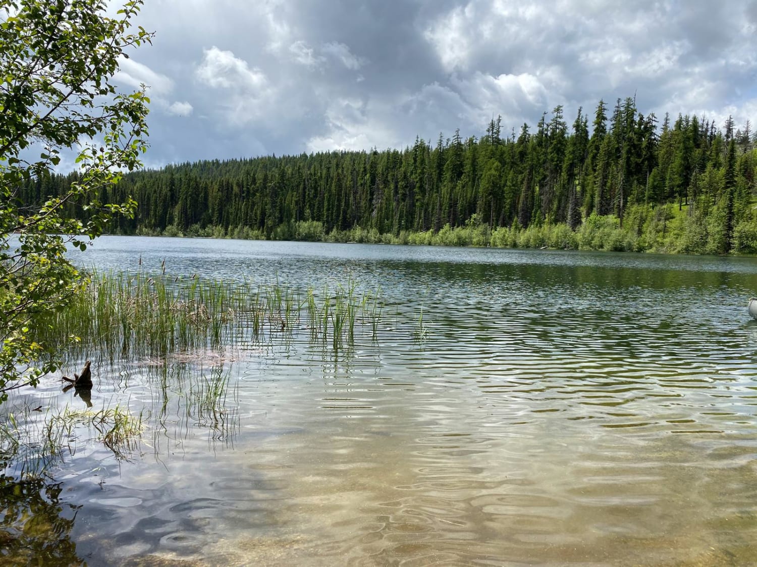
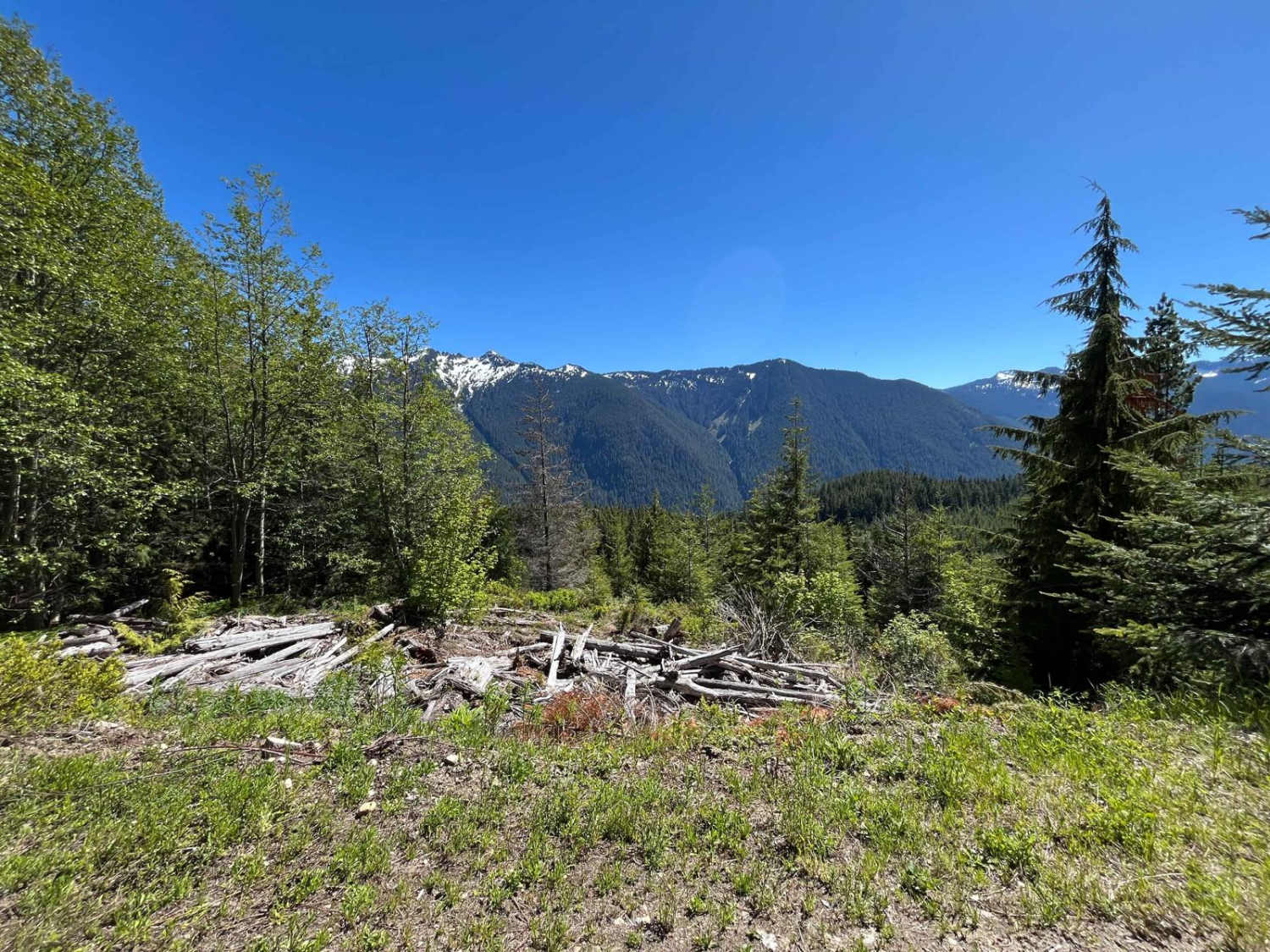
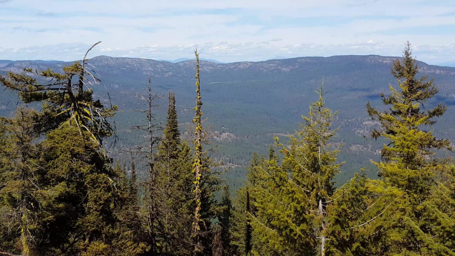
Gravel road for the most part, with occasional dirt/muddy areas, depending on weather. Road up to the Jackknife Lookout area may be rutted, rocky, with occasional steep pitches to negotiate.
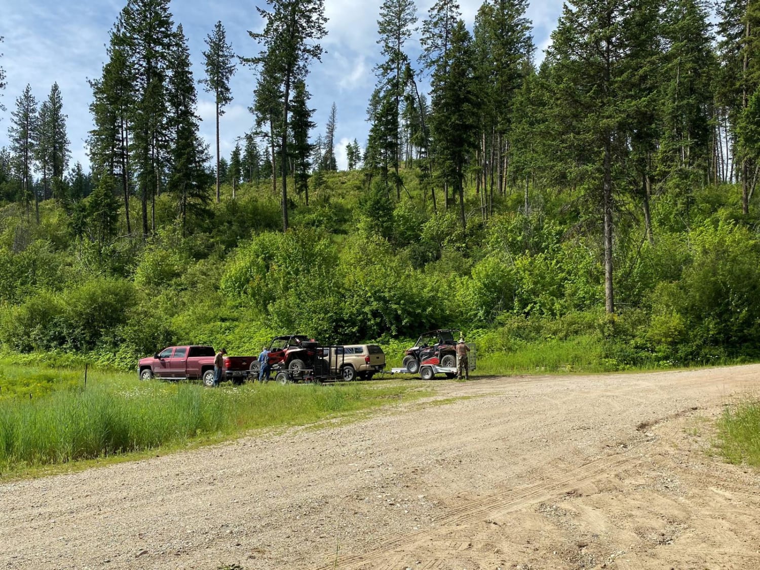
Photos of Jackknife Mtn
Status Reports
There are no status reports yet for this trail.
Jackknife Mtn can be accessed by the following ride types:
- High-Clearance 4x4
- SUV
- SxS (60")
- ATV (50")
- Dirt Bike
Jackknife Mtn Map
Popular Trails

Soap Lake Road to Heart Lake
Total Miles
4.5
Tech Rating
Easy
Best Time
Su / Sp / Fa / Wi

Cold Creek Camp
Total Miles
1.0
Tech Rating
Easy
Best Time
Sp / Su / Fa
South Huckleberry2 Trail
Total Miles
6.2
Tech Rating
Moderate
Best Time
The onX Offroad Difference
onX Offroad combines trail photos, descriptions, difficulty ratings, width restrictions, seasonality, and more in a user-friendly interface. Available on all devices, with offline access and full compatibility with CarPlay and Android Auto. Discover what you’re missing today!