Flood Dam Trail
Total Miles
1.3
Technical Rating
Best Time
Spring, Summer, Fall
Trail Type
Full-Width Road
Accessible By
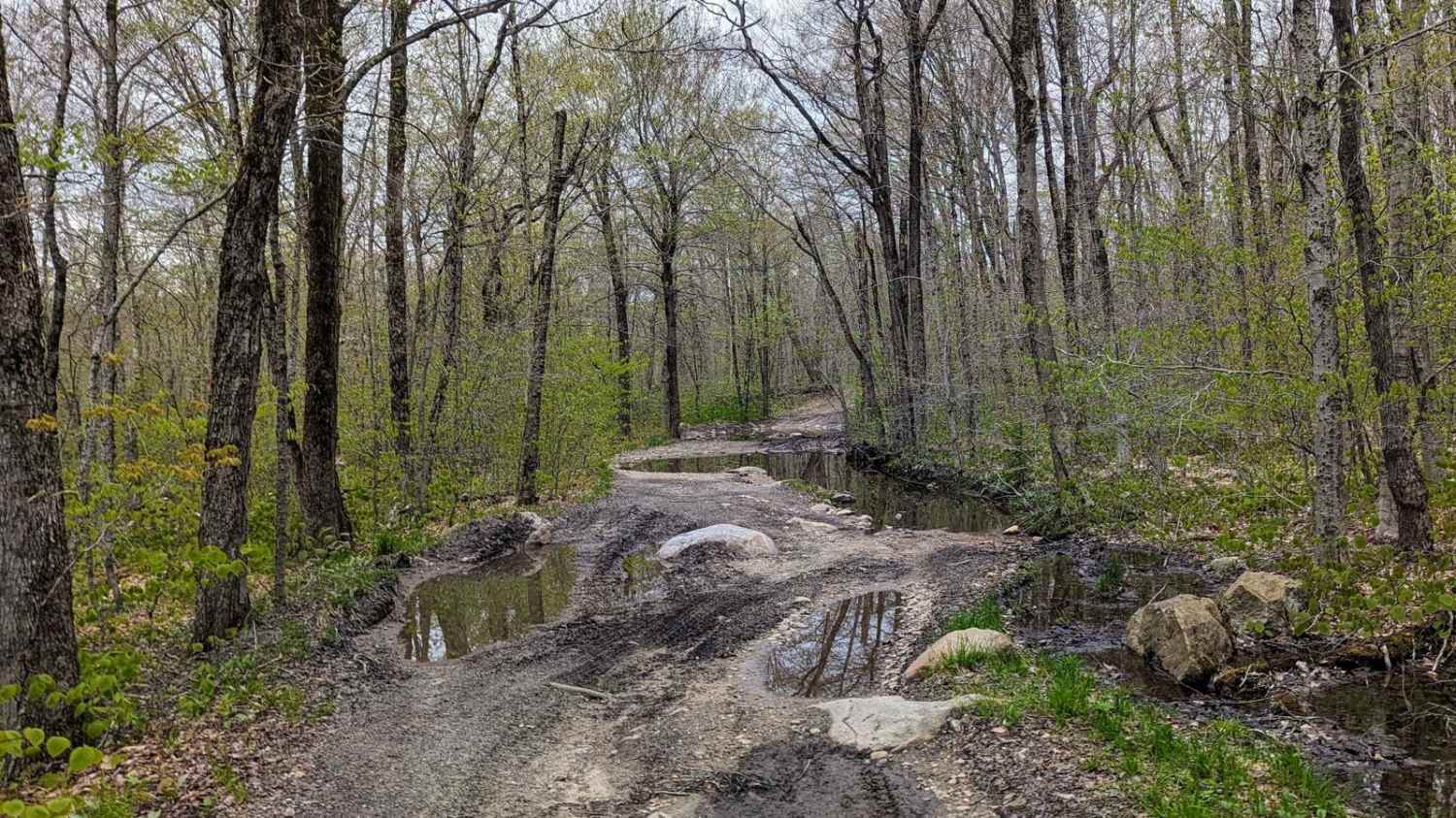
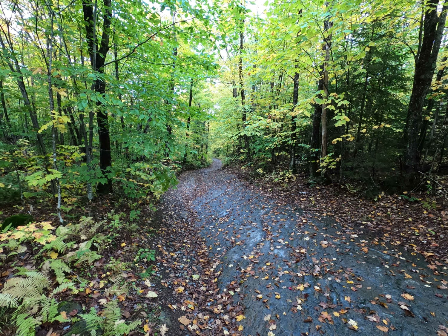
Trail Overview
Also known as Forest Road 83, this track follows the Deerfield River as it winds through scenic wetlands before gradually transitioning into a dense conifer forest. The setting changes noticeably along the route, offering a mix of open, marshy views and shaded sections beneath the trees. The trail begins as a smooth, easy drive but slowly evolves into a rockier, more uneven surface, with bumps and scattered obstacles that keep things interesting without becoming overly technical. Several designated campsites are located along the route.
Photos of Flood Dam Trail


Difficulty
The trail begins as a smooth, easy ride, but gradually becomes rockier the farther in you go. This is an out-and-back route that terminates at a closed gate, where a large open area provides ample space for turning around before heading back out.
Status Reports
Flood Dam Trail can be accessed by the following ride types:
- High-Clearance 4x4
- SUV
Flood Dam Trail Map
Popular Trails

Middle Ridge Road

Beartown Road
Risky Ranch Road (VT TR 302)
Lowell MTN / Baily-Hazen Military Road
The onX Offroad Difference
onX Offroad combines trail photos, descriptions, difficulty ratings, width restrictions, seasonality, and more in a user-friendly interface. Available on all devices, with offline access and full compatibility with CarPlay and Android Auto. Discover what you’re missing today!