Belvedere Mountain Road
Total Miles
2.3
Technical Rating
Best Time
Fall, Summer
Trail Type
High-Clearance 4x4 Trail
Accessible By
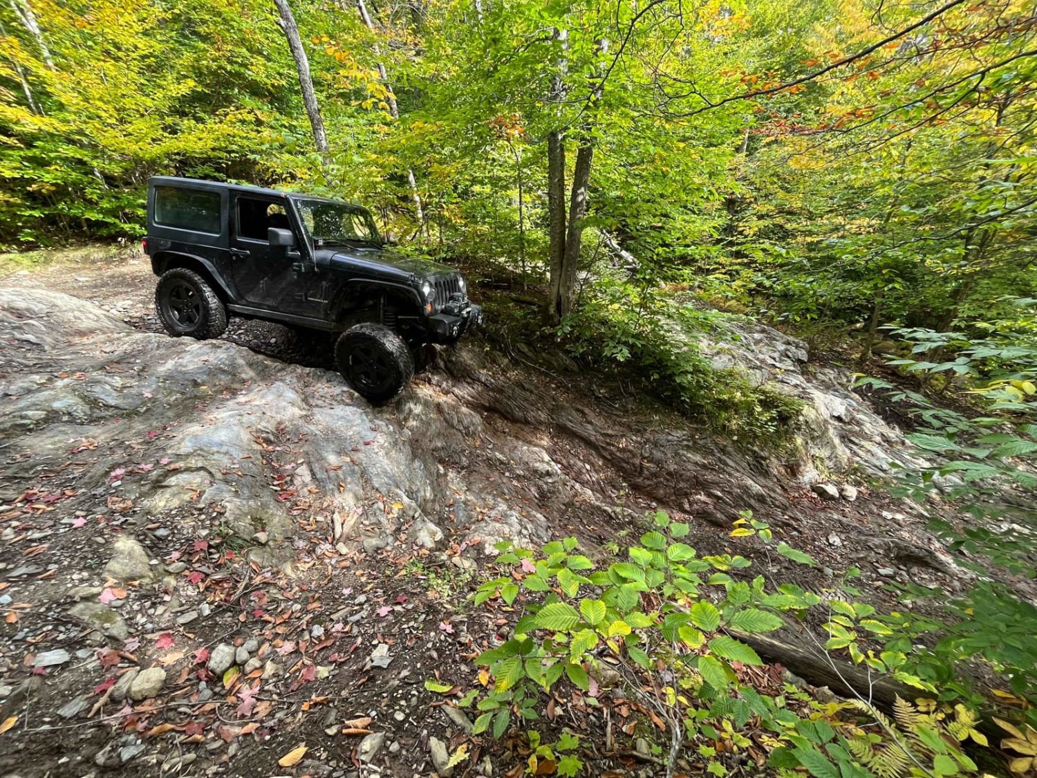
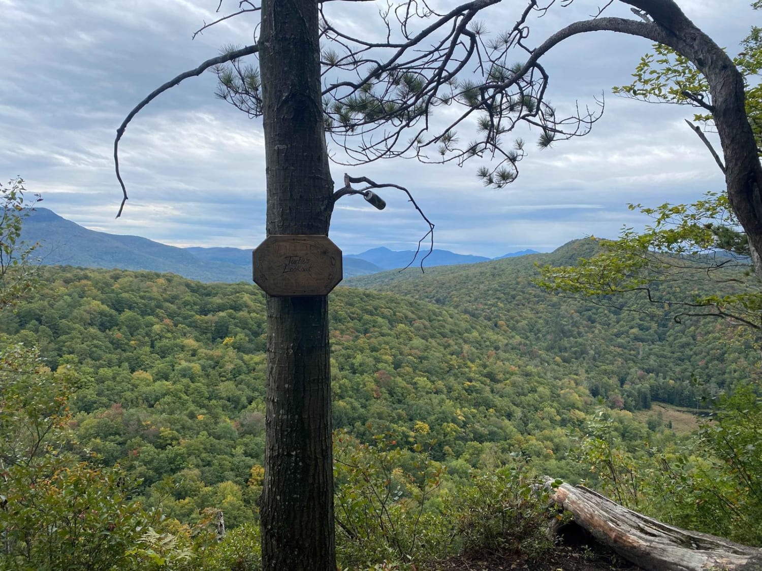
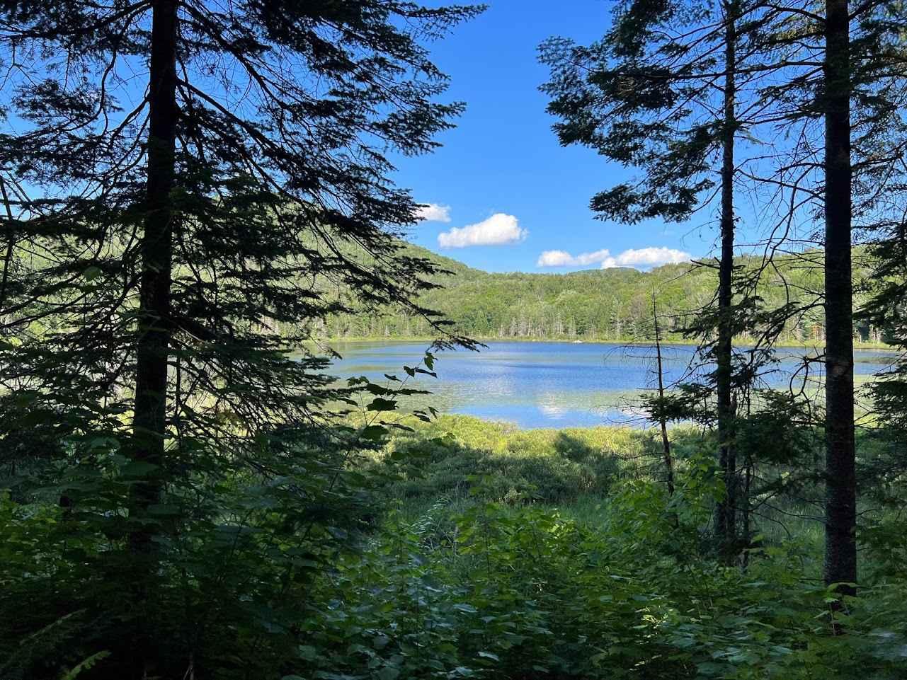
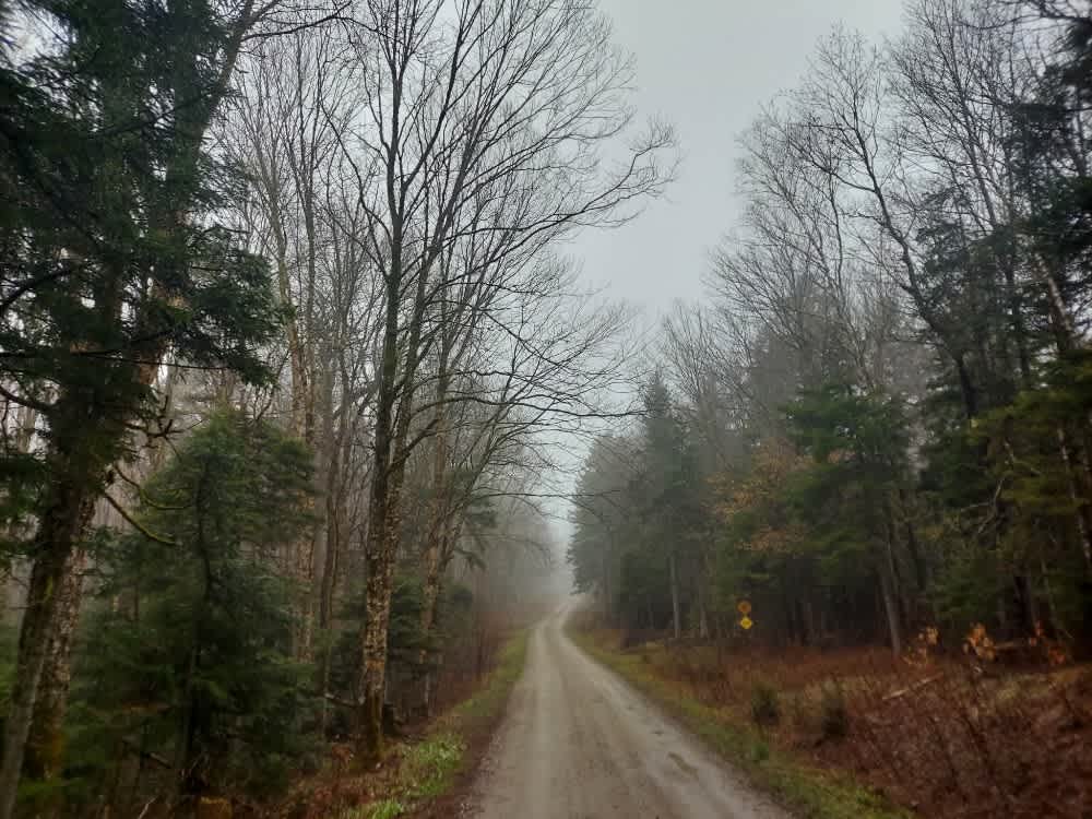
Trail Overview
The route starts on the East side, goes roughly 2.5 mi to a lookout point, and returns. Options to enter/exit the trail area to the west are available as well, but this route seems to be the best experience. There are multiple rock ledges and rocky sections to navigate. There are a couple optional rock obstacles as well that are more difficult, as well as one area that may have deeper water to cross depending on rainfall and the current status of beaver dams. The trail offers many turnaround points and places to pass other vehicles. I've seen stock Jeeps make it through the trail, but of course, a more modified vehicle will make it easier. Great trail to get the fall leaf peeping photos in, as well as a great trail to test your rig out on without a huge commitment. Rating it a 6, but there are opportunities to get into harder obstacles if you choose to.
Photos of Belvedere Mountain Road
Difficulty
Most obstacles offer multiple routes/lines. Ledges up to 4ft, a couple lines with multiple ledges needing a more capable rig... as well as easier lines for a more stock friendly option.
Status Reports
Belvedere Mountain Road can be accessed by the following ride types:
- High-Clearance 4x4
- SxS (60")
- ATV (50")
- Dirt Bike
Belvedere Mountain Road Map
Popular Trails
Wheeler Mountain Road
Prospect Mountain Trail

Kelly Stand Road

Castle Brook Trail
The onX Offroad Difference
onX Offroad combines trail photos, descriptions, difficulty ratings, width restrictions, seasonality, and more in a user-friendly interface. Available on all devices, with offline access and full compatibility with CarPlay and Android Auto. Discover what you’re missing today!