West Fork Blacks Fork
Total Miles
6.3
Technical Rating
Best Time
Spring, Summer, Fall
Trail Type
Full-Width Road
Accessible By
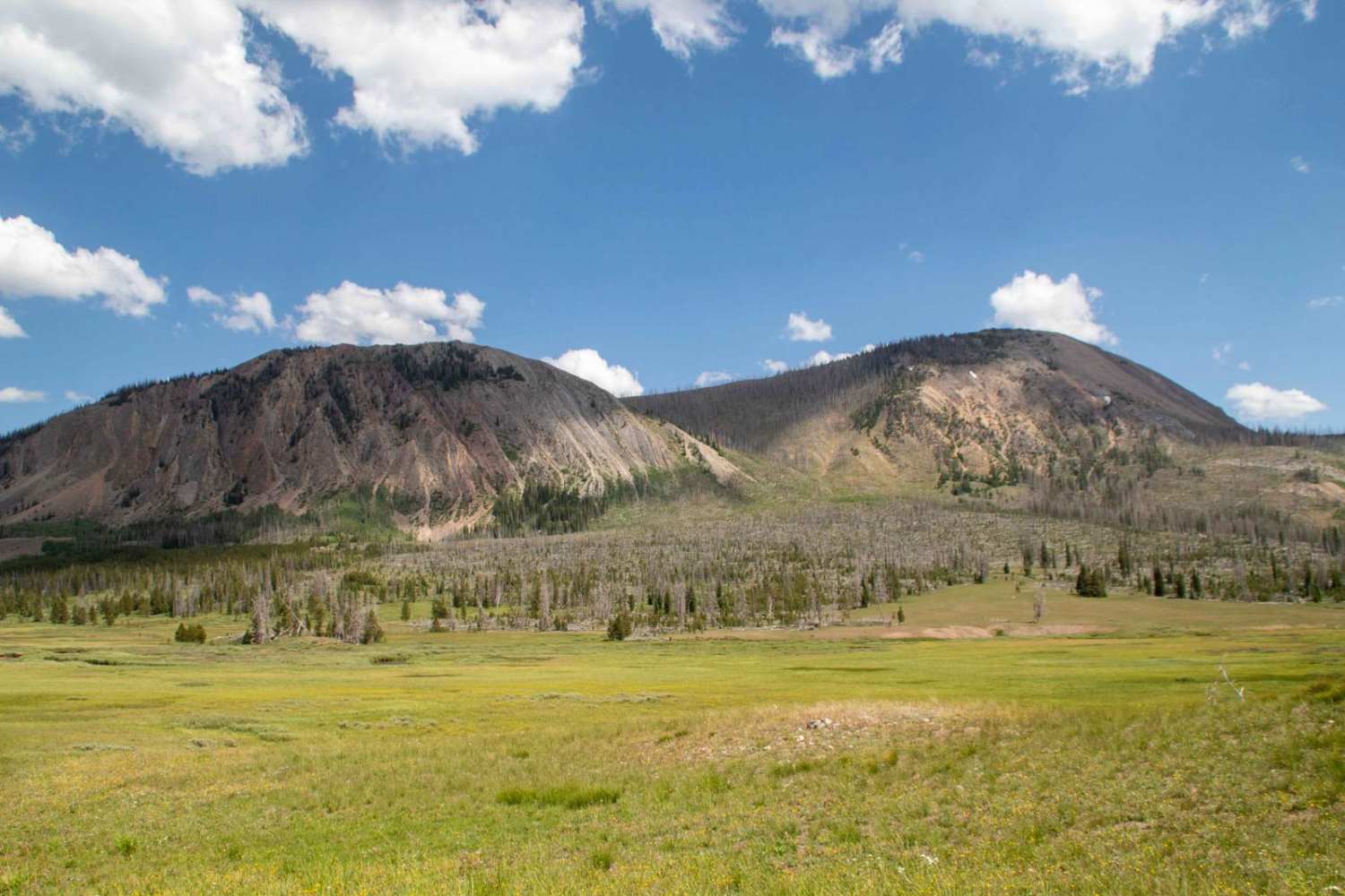
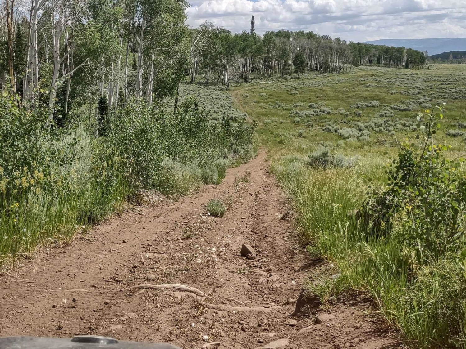
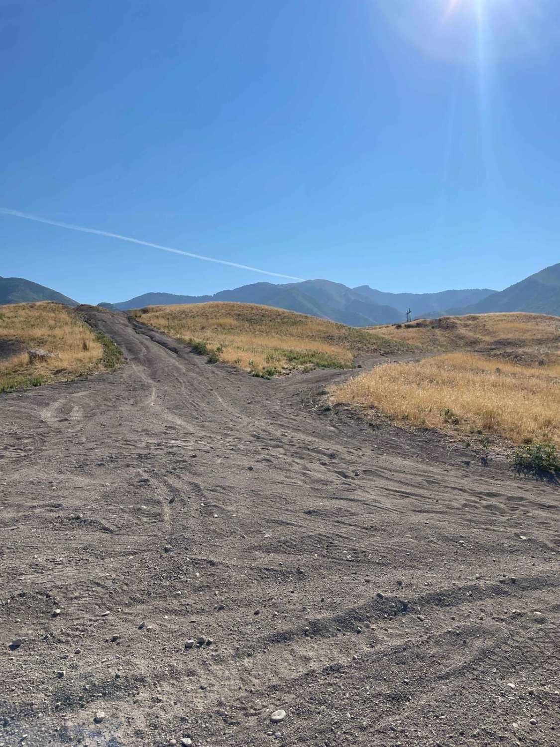
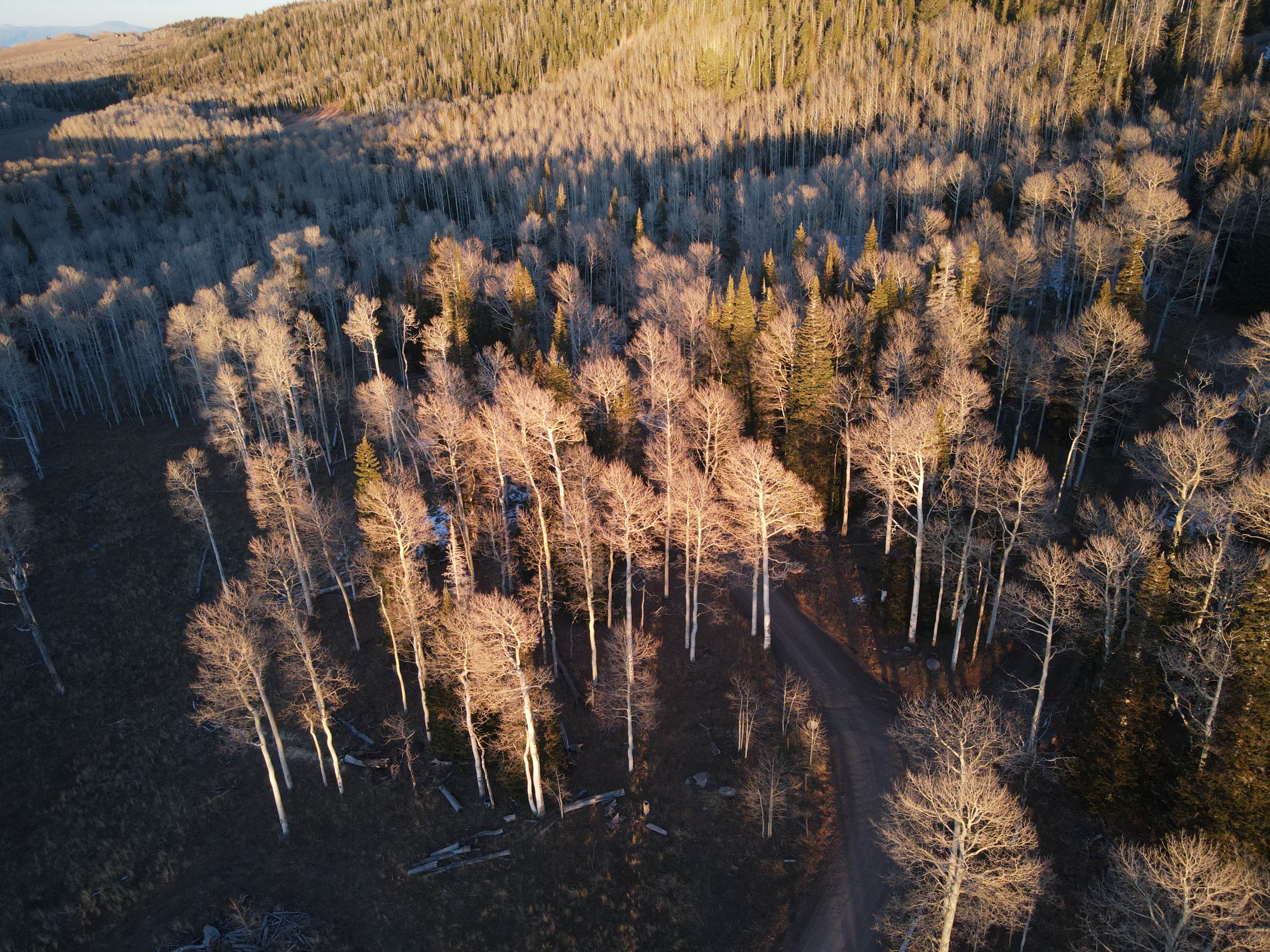
Trail Overview
This trail is a scenic route going up the canyon where West Fork Blacks Fork River runs before dead-ending at a trailhead for the West Fork Blacks Fork Trail that leads up into the High Uinta Wilderness. This trail is pretty easy going with some ruts and spots where water can gather up until you reach the water crossing, which can be deeper depending on the time of year, and once you pass it, the road becomes skinnier and rougher, with the water crossing being the hardest obstacle on the trail. This trail can be busy with lots of SxS and ATV traffic, so be careful around the corners and be prepared for other people on the trail. The trail is open May 1st to December 15th, but may be inaccessible due to snow in the early spring and late fall, and opening is dependent on when North Slope Road opens.
Photos of West Fork Blacks Fork

Difficulty
Most of the trail is only about a 3/10 difficulty; however, the water crossing increases the general difficulty of this trail to a 5. Typically, the water crossing is approximately 18 inches, but the depth varies throughout the year.
Status Reports
West Fork Blacks Fork can be accessed by the following ride types:
- High-Clearance 4x4
- SUV
- SxS (60")
- ATV (50")
- Dirt Bike
West Fork Blacks Fork Map
Popular Trails
Dinosaur Spur One (FS 41227 & 41227B)

Notom - Bullfrog Road South
Pole Canyon Trail
The onX Offroad Difference
onX Offroad combines trail photos, descriptions, difficulty ratings, width restrictions, seasonality, and more in a user-friendly interface. Available on all devices, with offline access and full compatibility with CarPlay and Android Auto. Discover what you’re missing today!