Upper Muley Twist Canyon Road
Total Miles
2.8
Technical Rating
Best Time
Spring, Summer, Fall
Trail Type
Full-Width Road
Accessible By
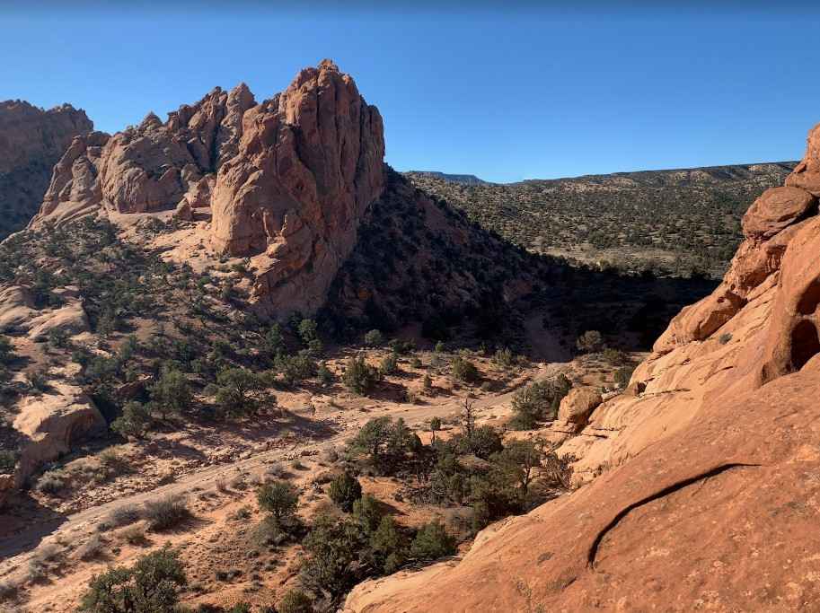
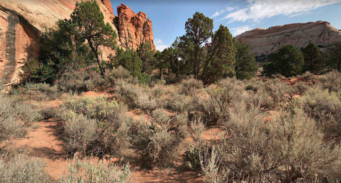
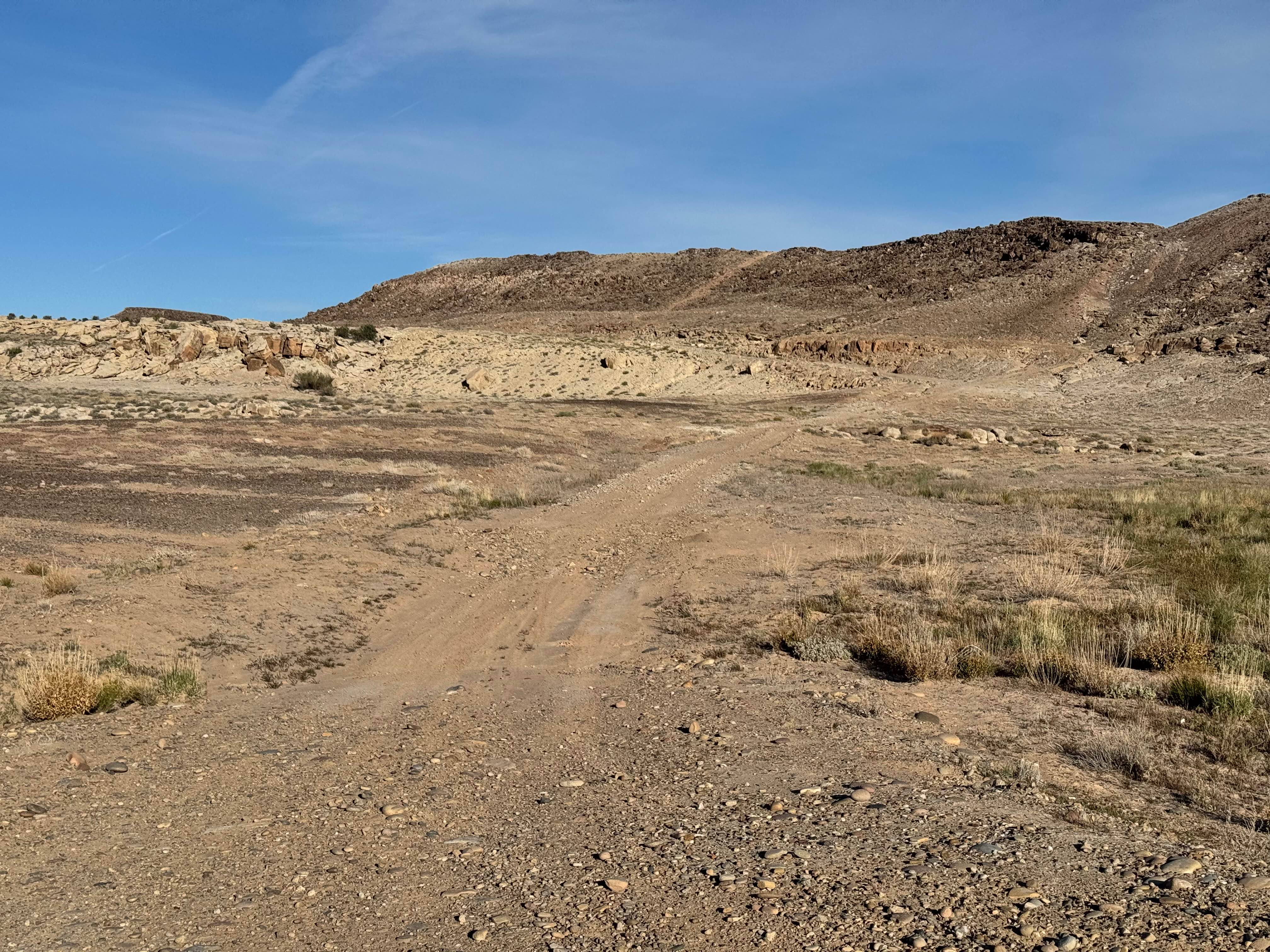
Trail Overview
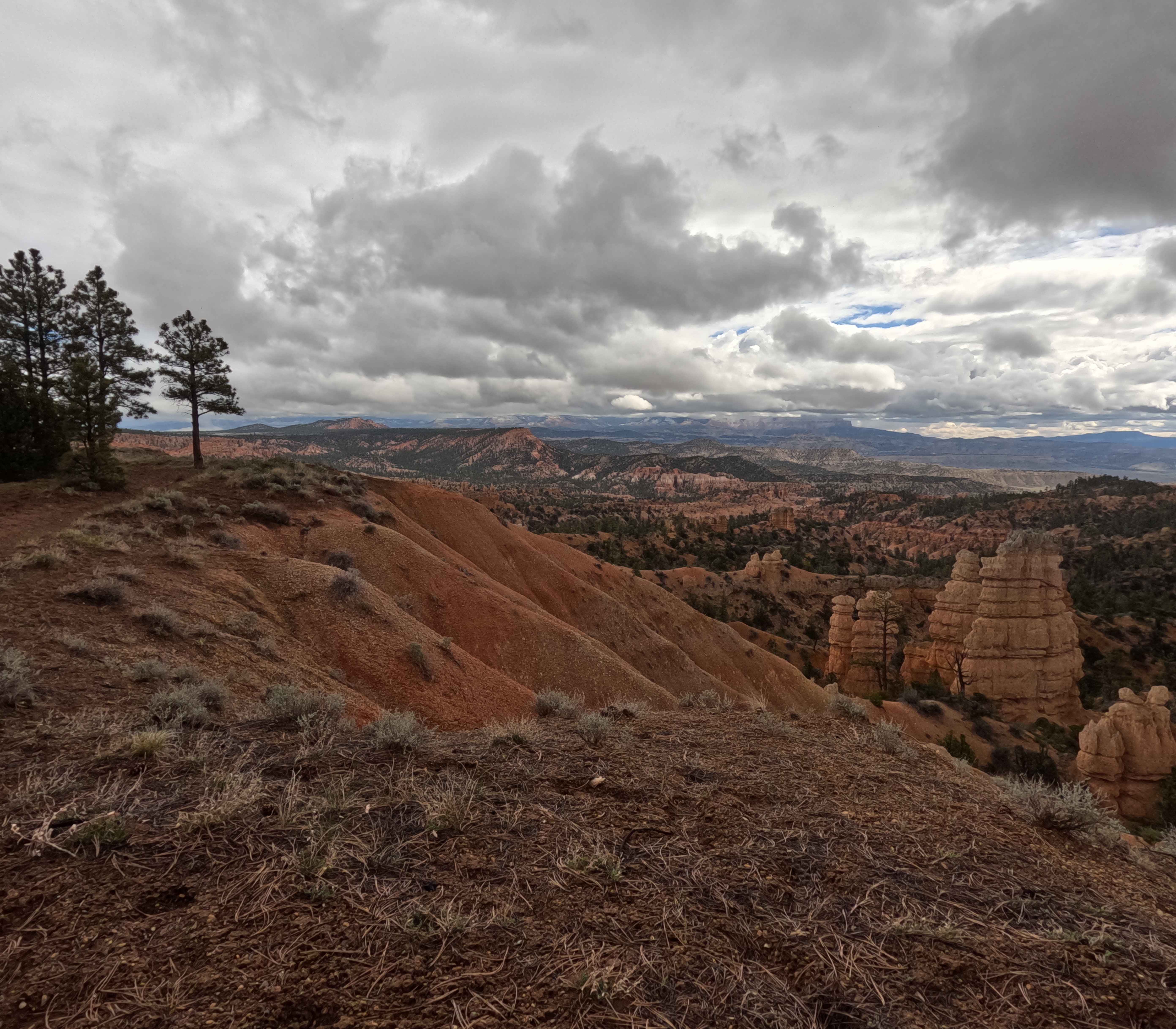
Twisty dirt and rock road accessing a trailhead for the Upper Muley Canyon trail, which takes you on a nine-mile hike deeper into Capitol Reef National Park. Passenger cars reach the 2wd trailhead .03 miles after turning off Burr Trail Road. High clearance 4wd vehicles can drive 2.9 miles into the upper trailhead. Along the road, Trinity Double Arch and Cheerios Double Arch can be seen. The roadbed can be impacted by rains or flash floods. Do not enter the canyon during rain events. Additional information on this road and its hikes are on the Capitol Reef website here: https://www.nps.gov/care/planyourvisit/upper-muley-twist-canyon.htm
Photos of Upper Muley Twist Canyon Road
Difficulty
moderate dirt road during dry conditions
Status Reports
Upper Muley Twist Canyon Road can be accessed by the following ride types:
- High-Clearance 4x4
- SUV
Upper Muley Twist Canyon Road Map
Popular Trails
Roundup Cuddy Back-NFS30566
Nutty Putty Cave West Climb
The onX Offroad Difference
onX Offroad combines trail photos, descriptions, difficulty ratings, width restrictions, seasonality, and more in a user-friendly interface. Available on all devices, with offline access and full compatibility with CarPlay and Android Auto. Discover what you’re missing today!