Shepherd Road
Total Miles
8.7
Technical Rating
Best Time
Spring, Summer, Fall, Winter
Trail Type
Full-Width Road
Accessible By
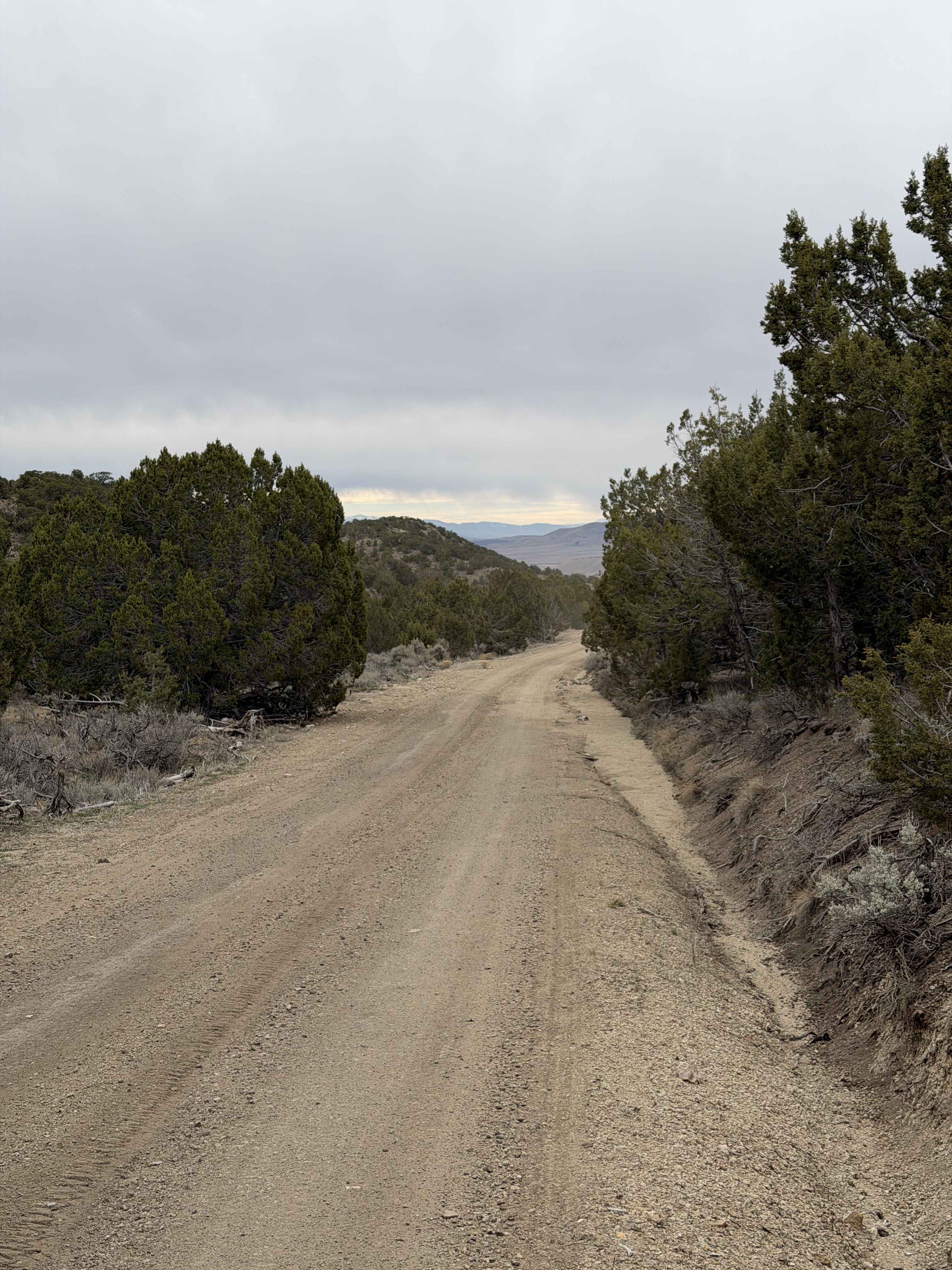
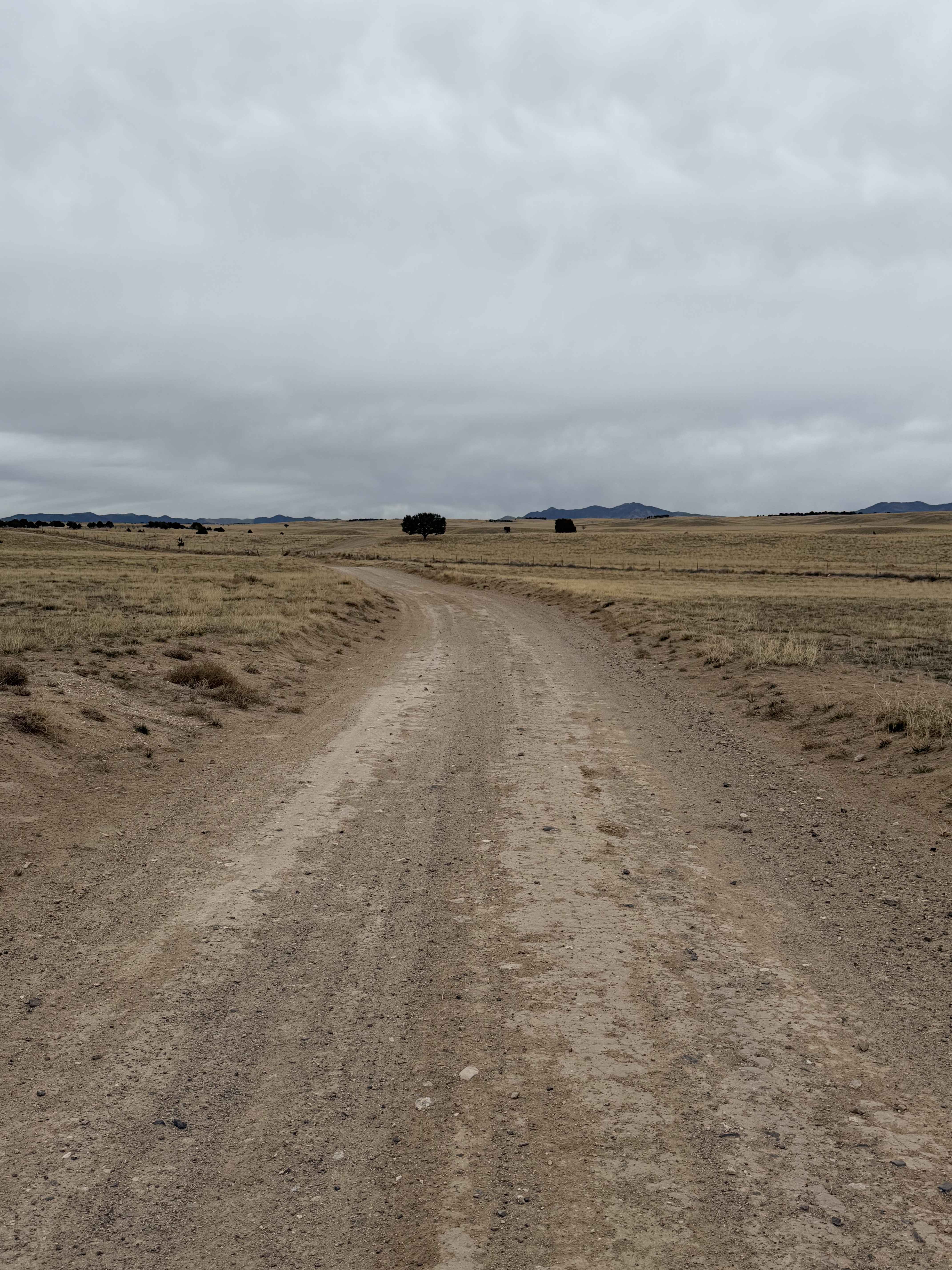
Trail Overview
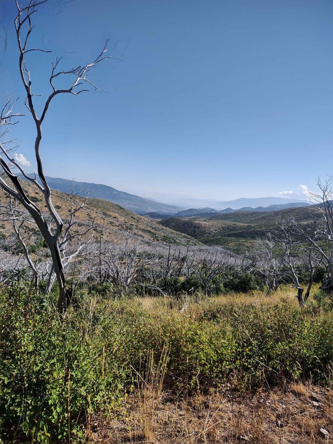
This out-and-back trail just north of Little Sahara starts in the barren desert and goes into an area much more dense with trees and brush, ending up near Maple Peak in the West Tintic Mountains. The road is recently graded and somewhat maintained; much of the surface is dirt, so it could get slick and muddy after rain. There are many spur trails off of this road, especially dirt bike trails, and it looks as though this trail continues on as a dirt bike trail at the northern end. The spur trails lead to various camp sites and scenic views of the Little Sahara area. A new development has been started at the end of this road, which has a gate and is marked as no trespassing.
Photos of Shepherd Road
Difficulty
This is a graded dirt road that is primarily a single vehicle wide, and is passable by most vehicles in typical conditions.
Status Reports
Shepherd Road can be accessed by the following ride types:
- High-Clearance 4x4
- SUV
- SxS (60")
- ATV (50")
- Dirt Bike
Shepherd Road Map
Popular Trails
Cottonwood Canyon Overlook

Moki Canyon
The onX Offroad Difference
onX Offroad combines trail photos, descriptions, difficulty ratings, width restrictions, seasonality, and more in a user-friendly interface. Available on all devices, with offline access and full compatibility with CarPlay and Android Auto. Discover what you’re missing today!