Range Study Loop - FS 10217
Total Miles
8.2
Technical Rating
Best Time
Spring, Summer, Fall
Trail Type
Full-Width Road
Accessible By
Trail Overview
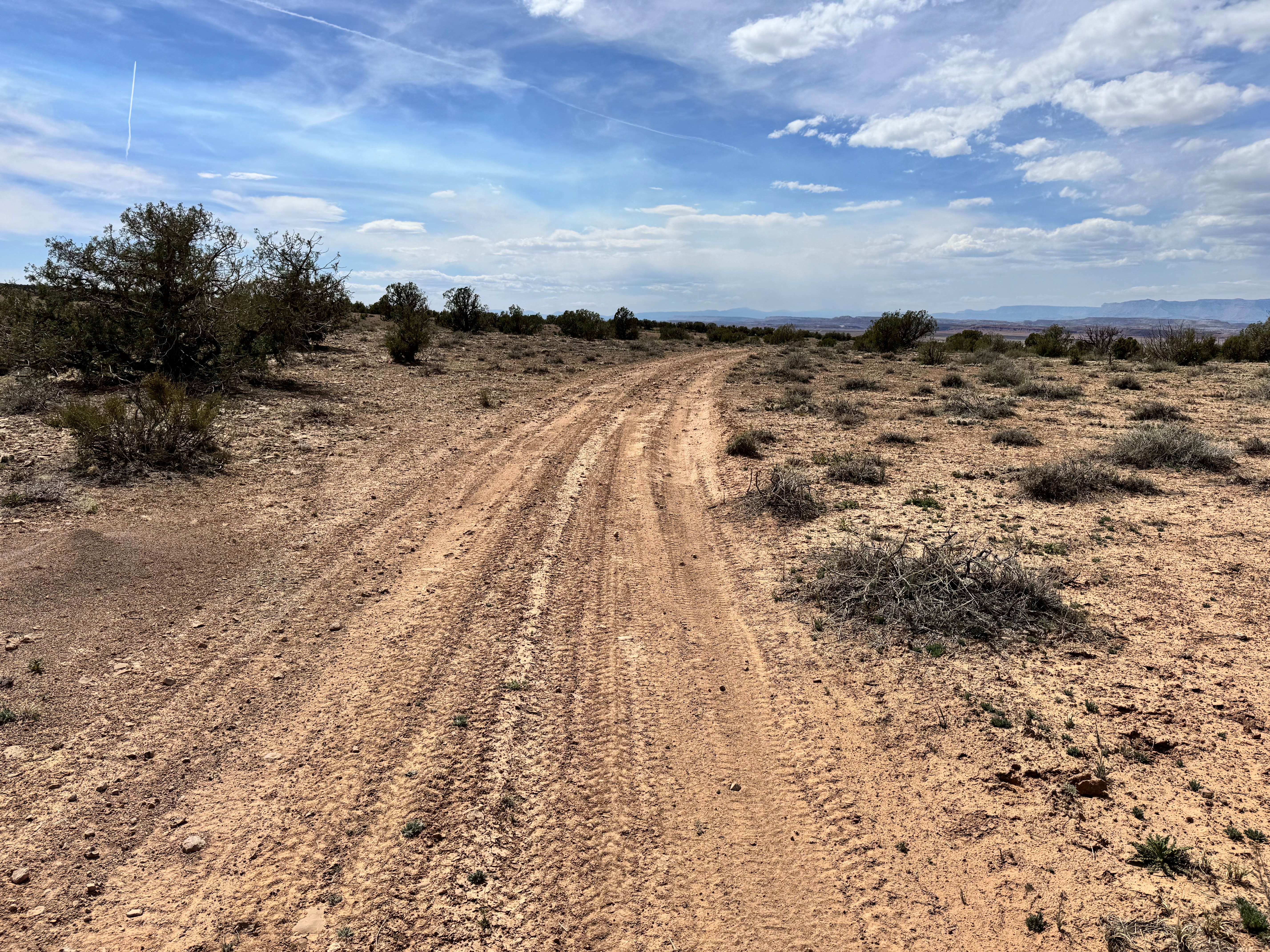
Range Study Loop is a 2/10 rated single width out and back looped dirt trail in the Ashley National Forest. Surface consistency is generally smooth dirt, with a rocky cobble descent at its southern end. The trail can be very muddy after precipitation, which can occur unexpectedly at its altitude. This is generally open range grazing land, and you will be crossing several cattle guards and opening/closing gates. Please remember trail etiquette and leave gates as found or as signed. Topology-wise, you are following one ridgeline, descending at the south end of the loop, then climbing and following another ridgeline to the starting point. At the descent point between the ridges, you can sight down into Burnt Cabin Gorge.
Photos of Range Study Loop - FS 10217
Difficulty
An unmaintained single-width road that can be difficult to navigate in precipitation.
Status Reports
Range Study Loop - FS 10217 can be accessed by the following ride types:
- High-Clearance 4x4
- SUV
- SxS (60")
- ATV (50")
- Dirt Bike
Range Study Loop - FS 10217 Map
Popular Trails

Baxter Sawmill Road
Power Line - FS 10574
Sunshine Canyon Trail
West Wedge Trail 2
The onX Offroad Difference
onX Offroad combines trail photos, descriptions, difficulty ratings, width restrictions, seasonality, and more in a user-friendly interface. Available on all devices, with offline access and full compatibility with CarPlay and Android Auto. Discover what you’re missing today!