Lathrop Canyon
Total Miles
3.9
Technical Rating
Best Time
Spring, Summer, Fall, Winter
Trail Type
Full-Width Road
Accessible By
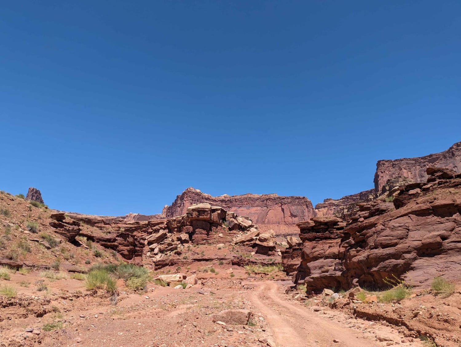
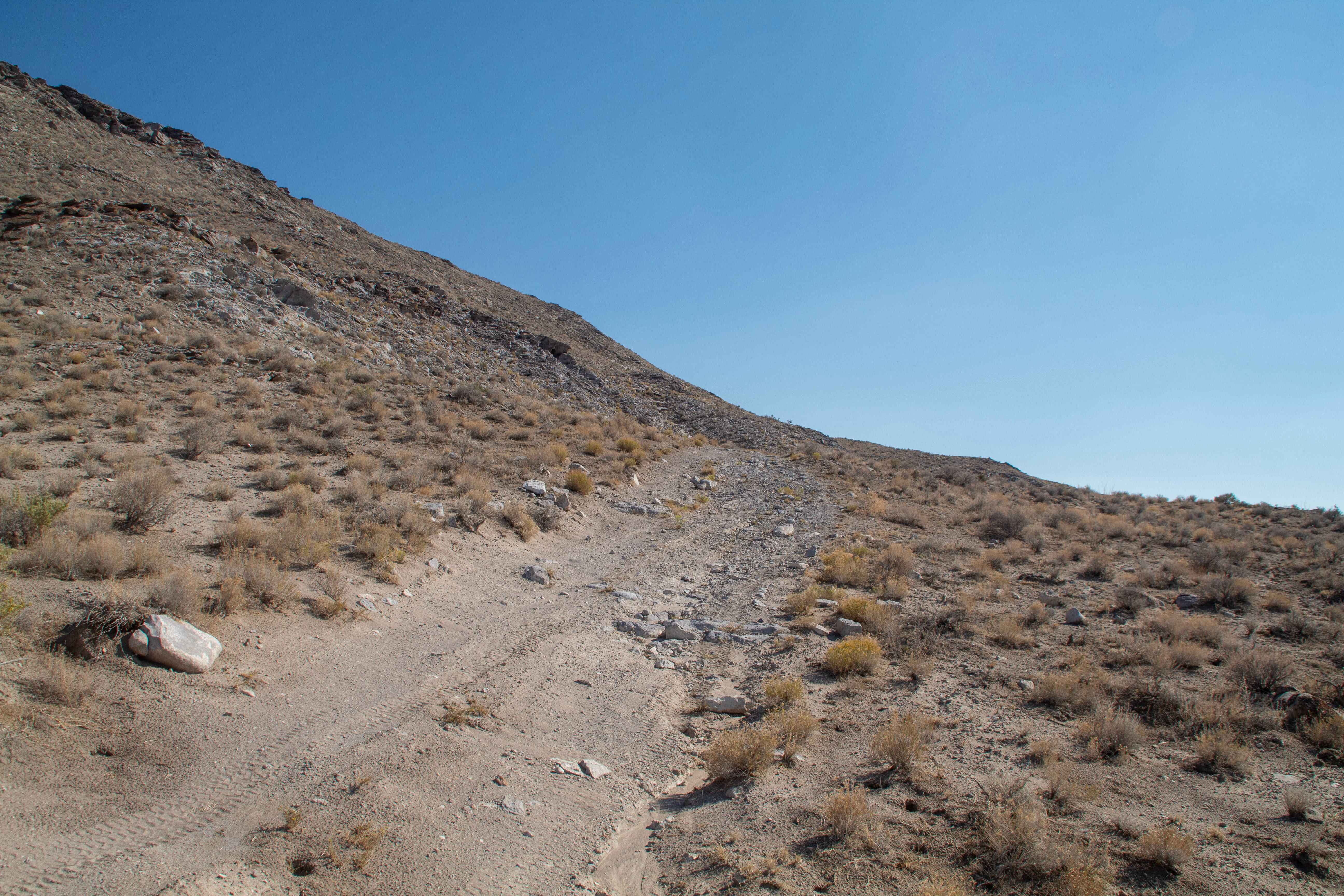
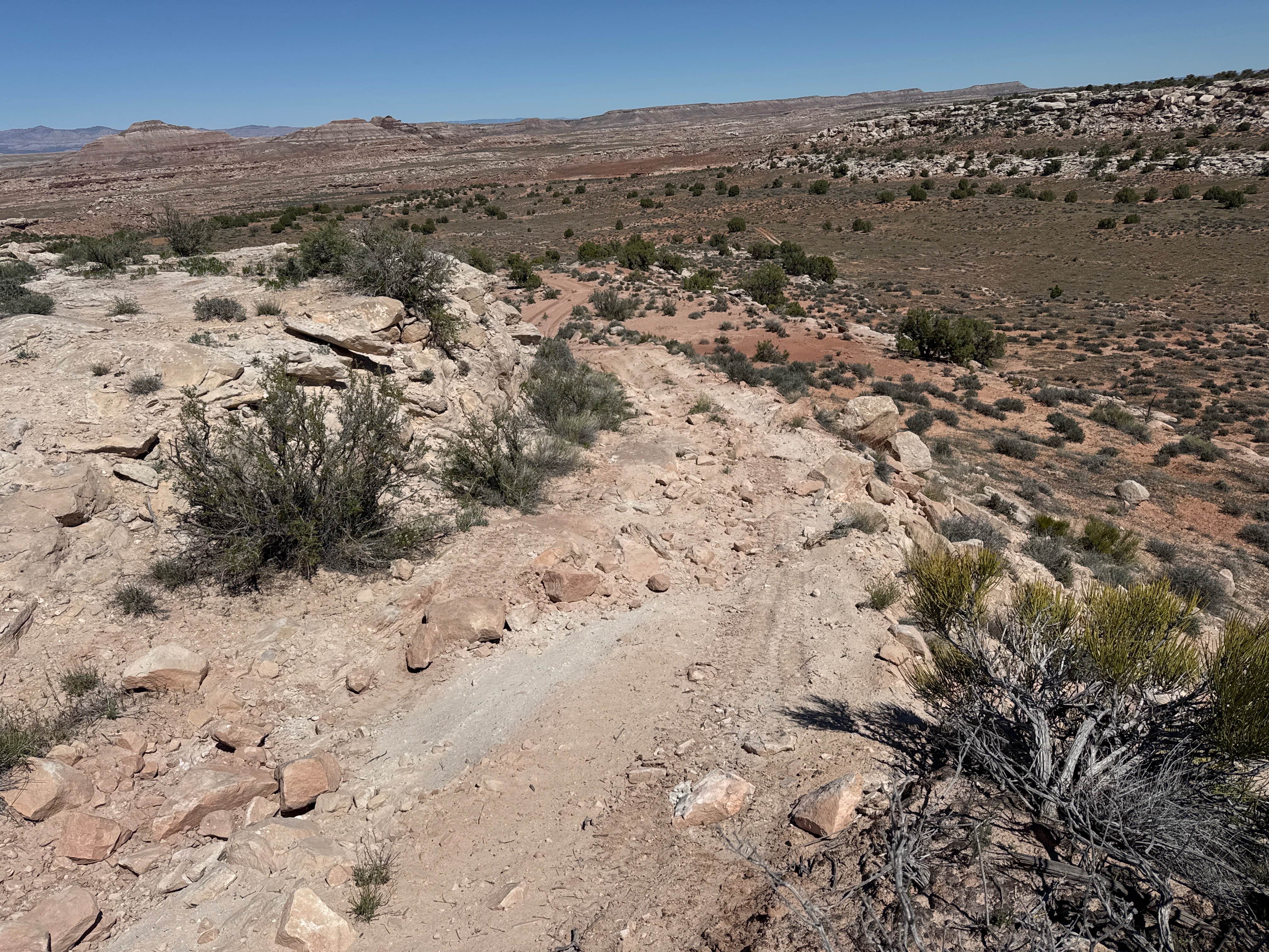
Trail Overview
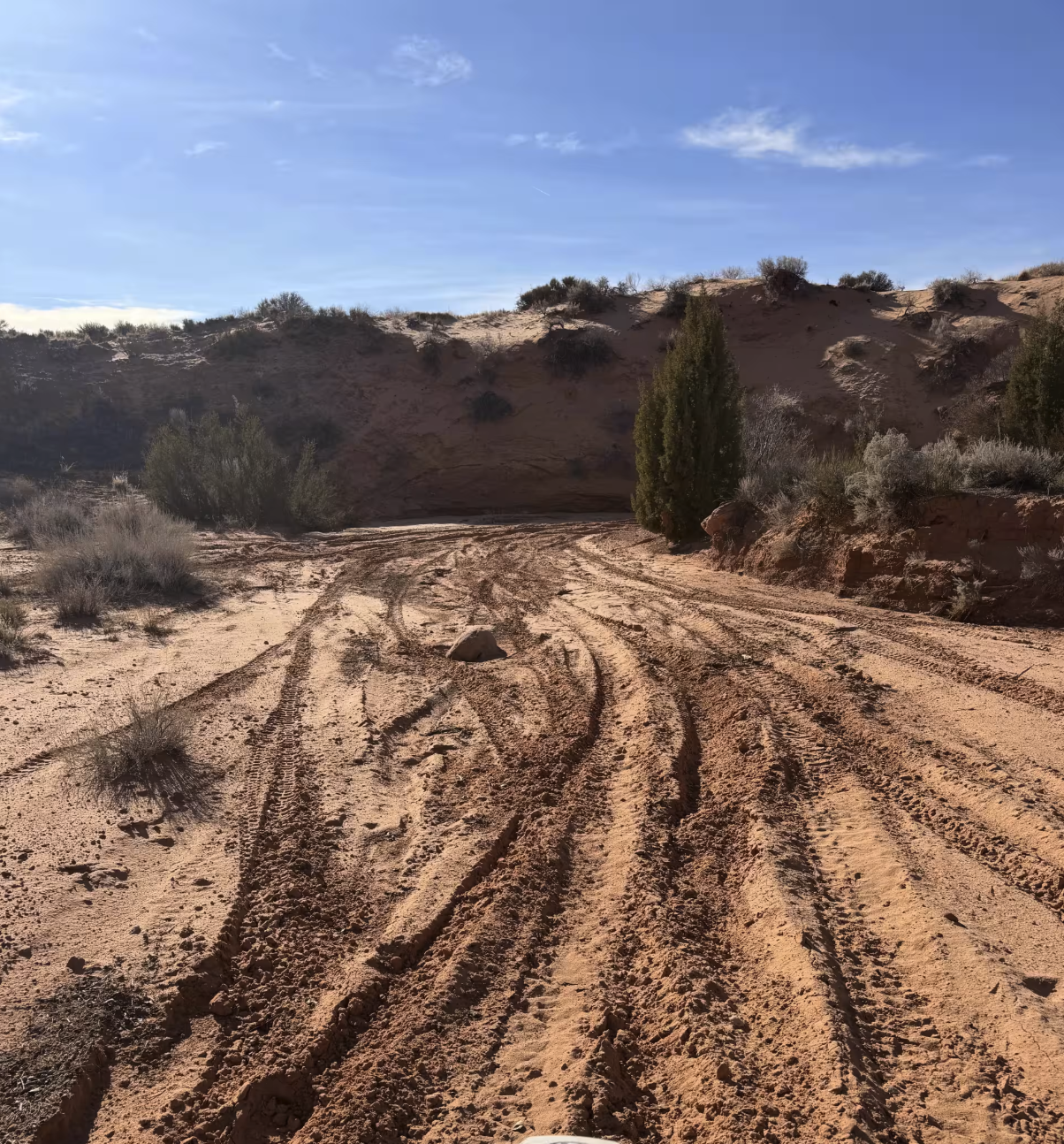
Lathrop Canyon is one of the hidden gems of the White Rim Trail. Very few people drive down this spur trail of the White Rim Trail, and they miss out on amazing scenery, some slightly technical driving (mostly steep switchbacks coming into the canyon), the amazing changes from complete desert to green cottonwoods and tamarisk trees, and finally when it opens up to the day use area and the amazing riverfront view of the Colorado River. The trail is mostly dirt, with some sand from the washes you cross through. This trail could get really tough after a heavy rainstorm and flash floods may present themselves after a rainstorm, so check the weather and be cautious with weather on this trail. Keep an eye out for deer, snakes, chipmunks, and other animal life that is present in this canyon as it is close to a water source, and they are active in this area. The day-use area has a few picnic tables and some shade for relief from the sun, and there is a bathroom for use as well. Feel free to cool off by jumping in the river. There is a large boulder in the river that is helping to divert the majority of the current away from the day-use area, however, be cautious as the current can take you downstream fast if the river is running fast.
Photos of Lathrop Canyon

Difficulty
This trail is mostly dirt, with a few washes you may travel through. If there has been a heavy rain, there is a potential for flash floods in this area. Also, keep in mind that if a flash flood has come through recently, this trail rating may change, as water quickly deteriorates the quality of the washes and the roads you'll be driving on. My party did this in a slightly modified Ram 1500 and a bone-stock Toyota Tundra.
Status Reports
Lathrop Canyon can be accessed by the following ride types:
- High-Clearance 4x4
- SUV
- Dirt Bike
Lathrop Canyon Map
Popular Trails
Smelter Knolls West
Around The Rocks
Echo Lake Trail
The onX Offroad Difference
onX Offroad combines trail photos, descriptions, difficulty ratings, width restrictions, seasonality, and more in a user-friendly interface. Available on all devices, with offline access and full compatibility with CarPlay and Android Auto. Discover what you’re missing today!