D1782
Total Miles
0.4
Technical Rating
Best Time
Spring, Summer, Fall
Trail Type
Full-Width Road
Accessible By
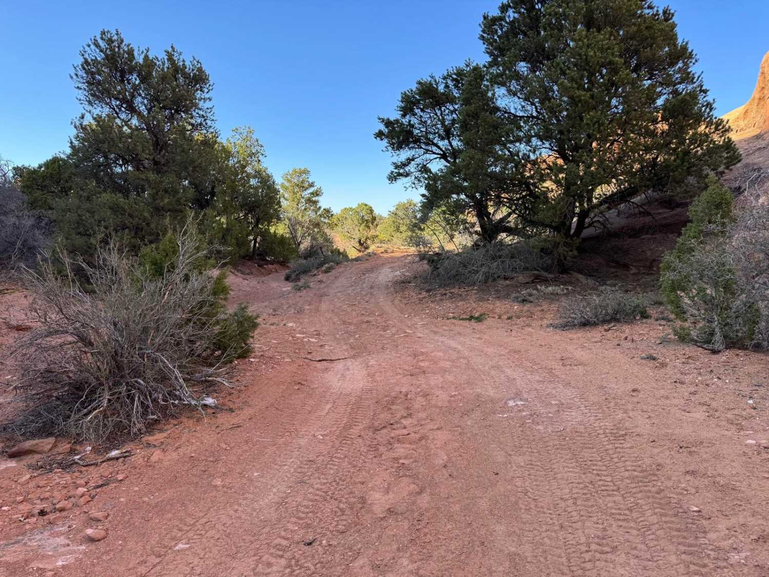
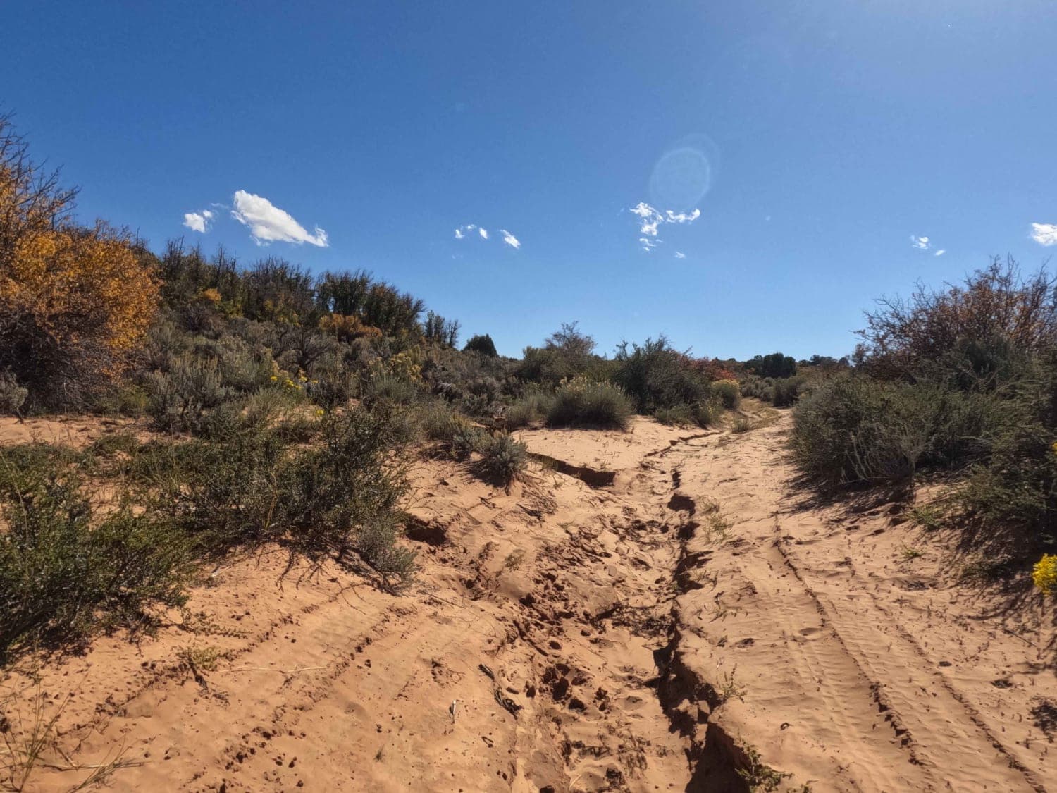
Trail Overview
This trail primarily consists of sandy terrain, with sections exhibiting washout areas that require mindful navigation. Despite these features, the trail remains relatively straightforward, gradually descending towards the base of a significant and impressive rock formation that serves as its natural terminus. The journey down offers an evolving perspective of this geological spectacle.
Photos of D1782

Difficulty
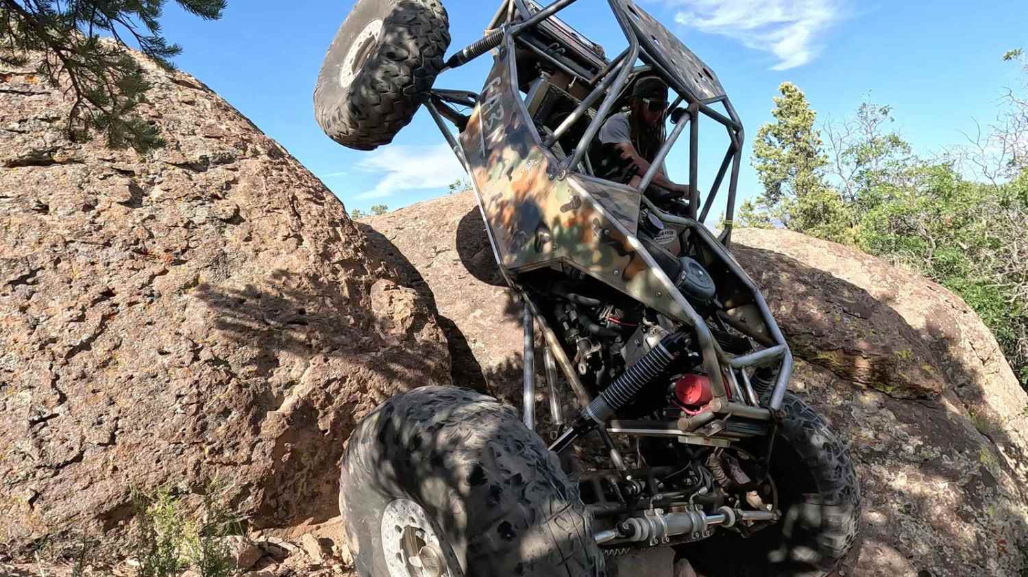
This trail has no major obstacles. However, there is one small section that could prove to be challenging for a lower clearance or 2WD vehicle.
Status Reports
D1782 can be accessed by the following ride types:
- High-Clearance 4x4
- SUV
- SxS (60")
- ATV (50")
- Dirt Bike
D1782 Map
Popular Trails
Skull Canyon

Center Creek - FR 70309
Cedar Mountain Overlook Road/UT-206
Fin Little Wash
The onX Offroad Difference
onX Offroad combines trail photos, descriptions, difficulty ratings, width restrictions, seasonality, and more in a user-friendly interface. Available on all devices, with offline access and full compatibility with CarPlay and Android Auto. Discover what you’re missing today!