Anderson Creek #71
Total Miles
1.4
Technical Rating
Best Time
Summer, Spring, Fall
Trail Type
50" Trail
Accessible By
Trail Overview
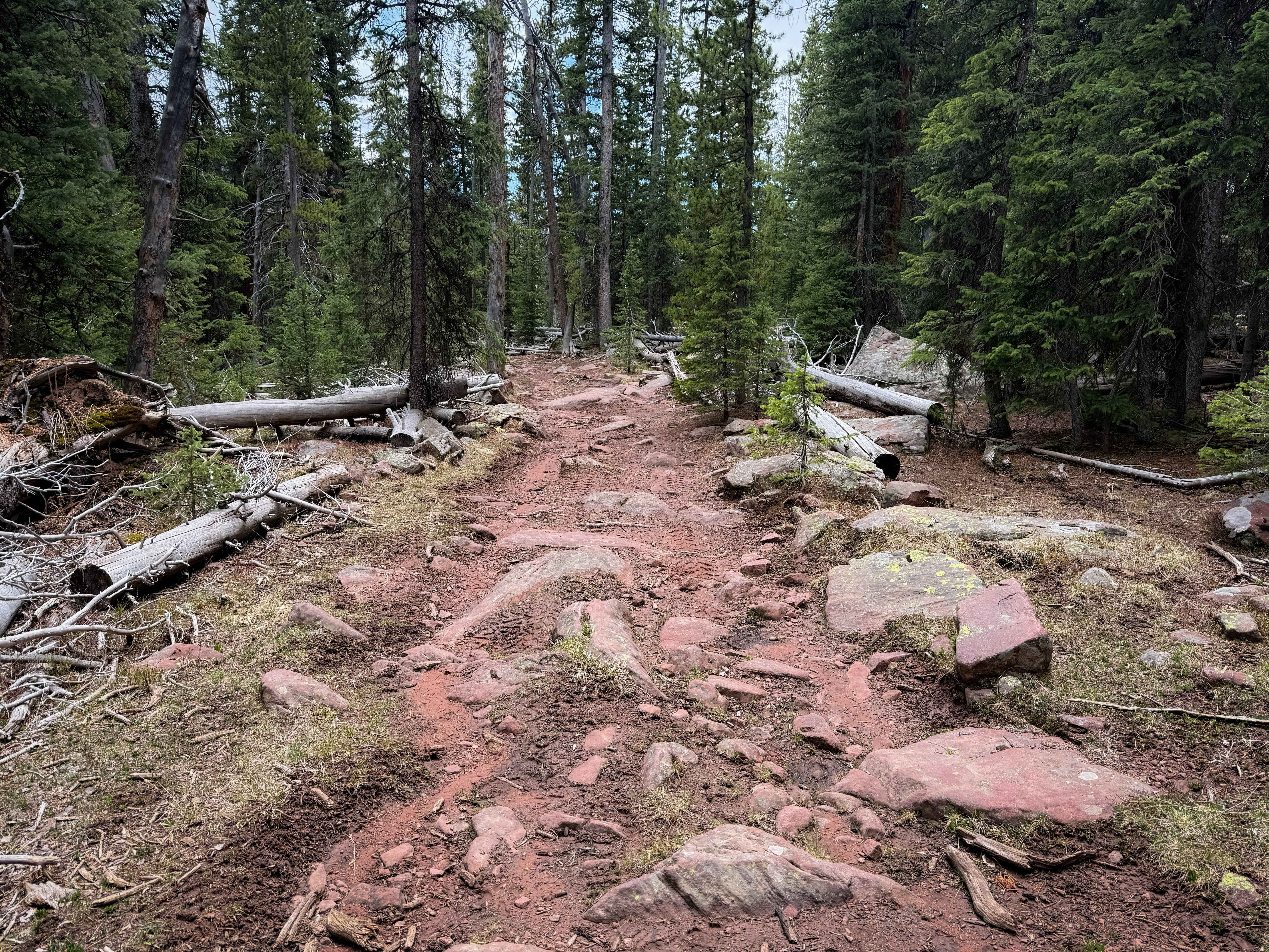
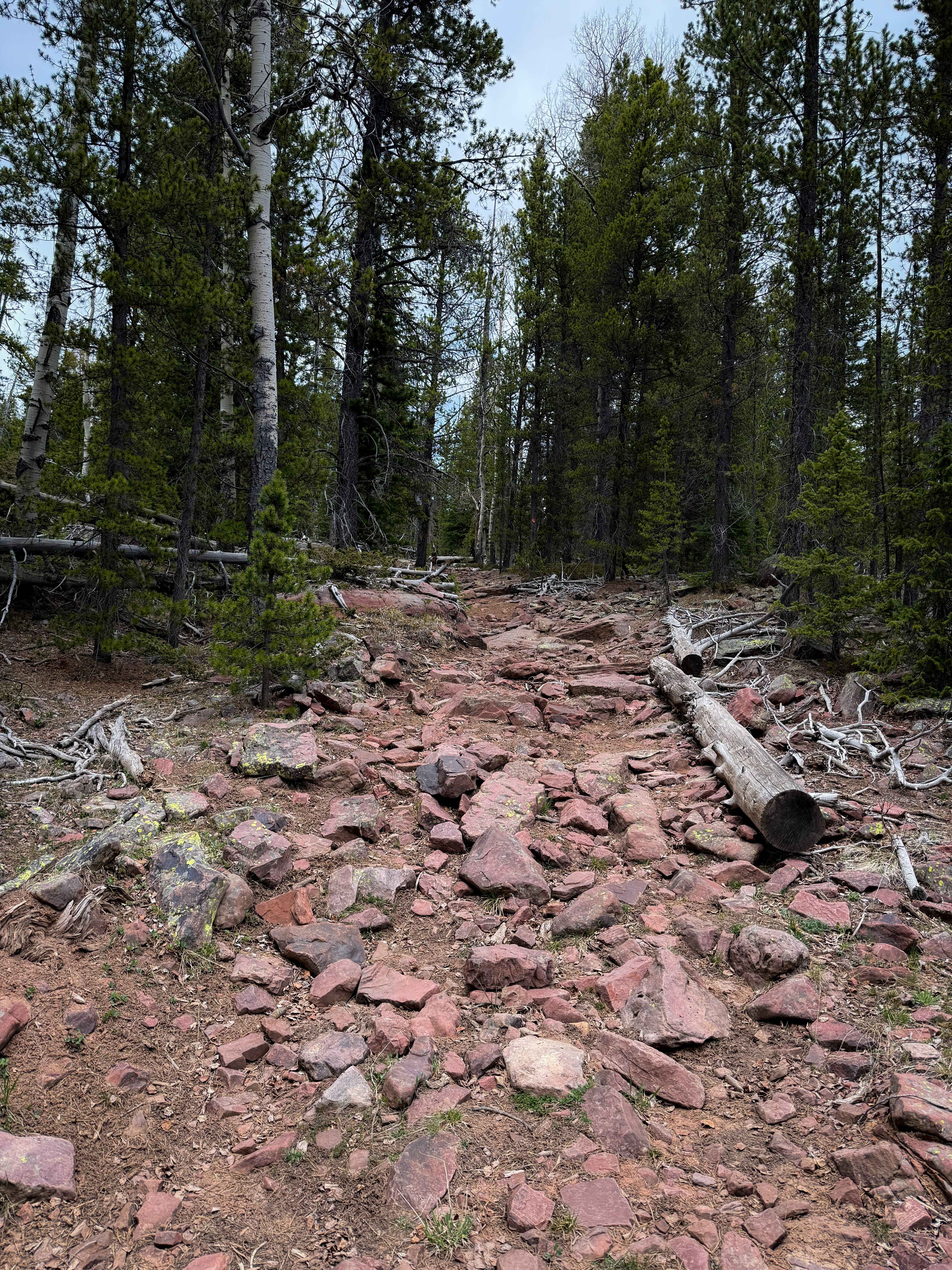
ATV Trail 71 is a short, but rocky spur off of ATV Trail 70 that goes into private land. It descends gradually from its intersection with Trail 70, dropping about 400 feet in elevation over 1.4 miles. The trail has embedded chunky rocks, log debris, some deeper muddy ruts, and standing water on the trail. The trail was cleared of any downfall by mid-springtime. Watch out for slippery roots and rocks during wetter conditions. It rides through a pine forest and through open grassy meadows, often with more mud and water on the trail in the meadows. About mid-way through, it gets rockier, with larger embedded boulder faces that you must ride over. It doesn't have any major rock ledges; it's just bumpy and slow to ride over all the rocks. In a couple of sections, the rock layer is heavier, with loose rocks piled on top of the embedded rock layer. The legal ATV trail per the MVUM ends in a meadow at the boundary with private property; however, there aren't any signs or indication of entering private land, and the dirt path continues going south, so it may not be clear when to turn around without having a downloaded map.
Photos of Anderson Creek #71
Difficulty
This is a moderate ATV trail due to the frequent presence of large embedded rocks. The trail does not have any major rock ledges or obstacles, but the constant rocks make it more physically demanding and a slower ride, and less suitable for beginners. Watch out for deep ruts and mud as well.
Status Reports
Anderson Creek #71 can be accessed by the following ride types:
- ATV (50")
- Dirt Bike
Anderson Creek #71 Map
Popular Trails
Top of the World Loop
North Dragon to Horn Mountain
The onX Offroad Difference
onX Offroad combines trail photos, descriptions, difficulty ratings, width restrictions, seasonality, and more in a user-friendly interface. Available on all devices, with offline access and full compatibility with CarPlay and Android Auto. Discover what you’re missing today!