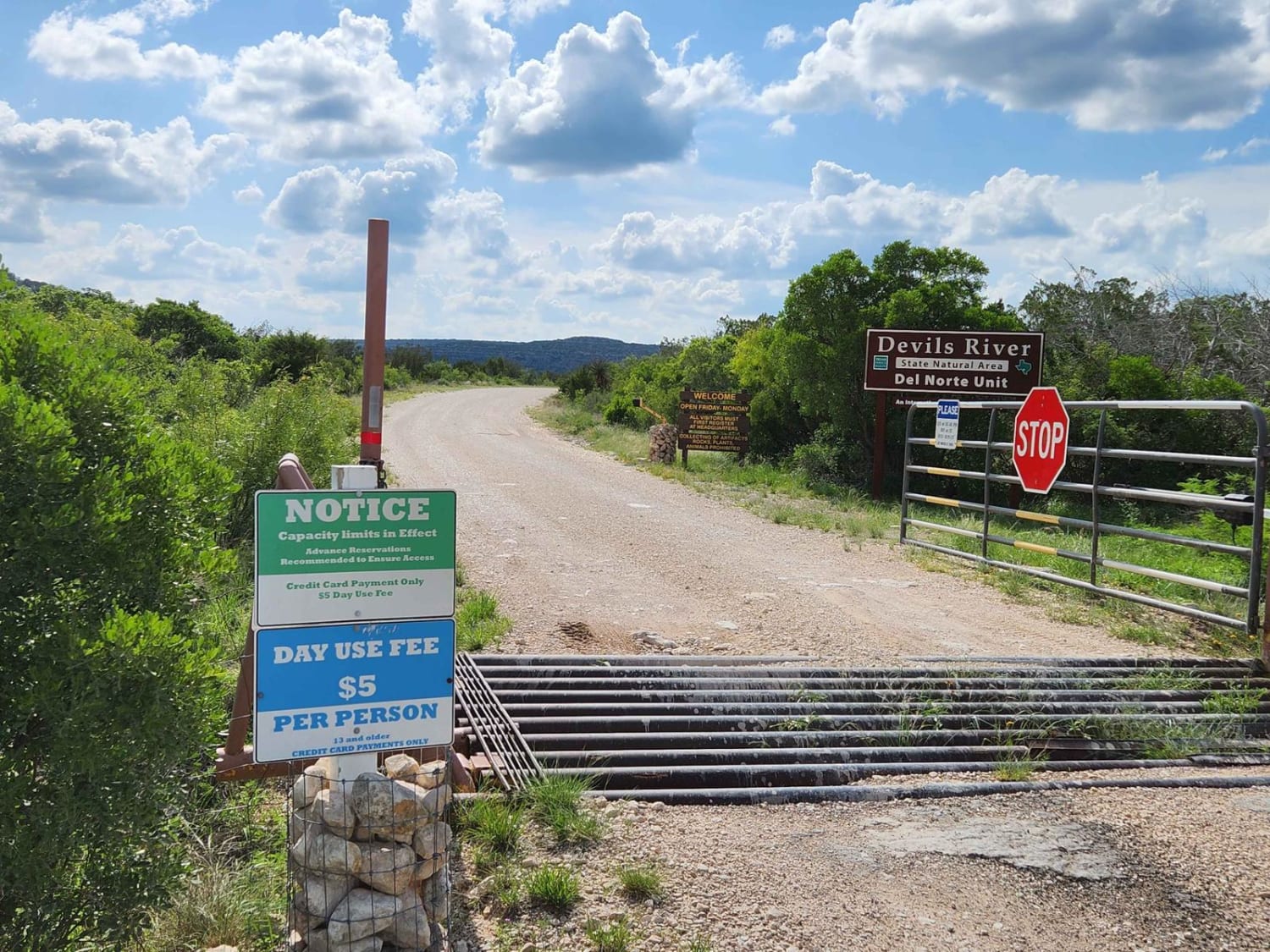
Devils River State Natural Area
Total Miles
7.0
Technical Rating
Best Time
Spring, Summer, Fall, Winter
Trail Type
Full-Width Road
Accessible By
Trail Overview
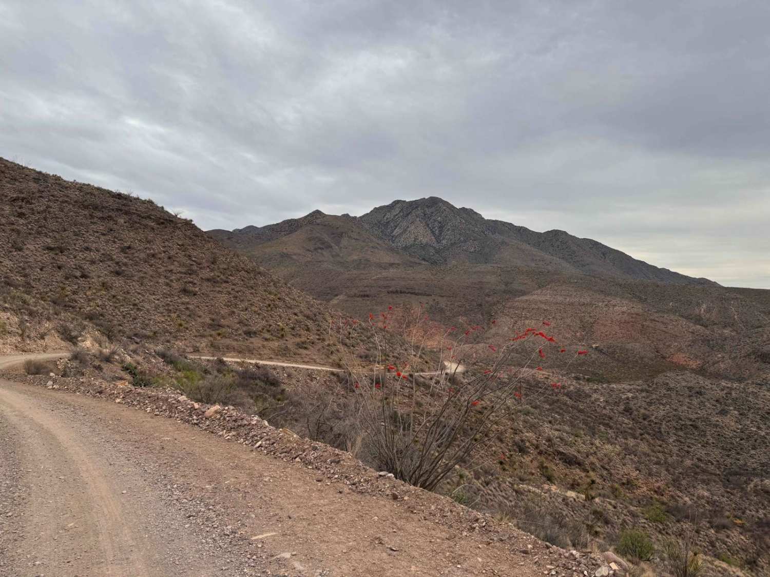
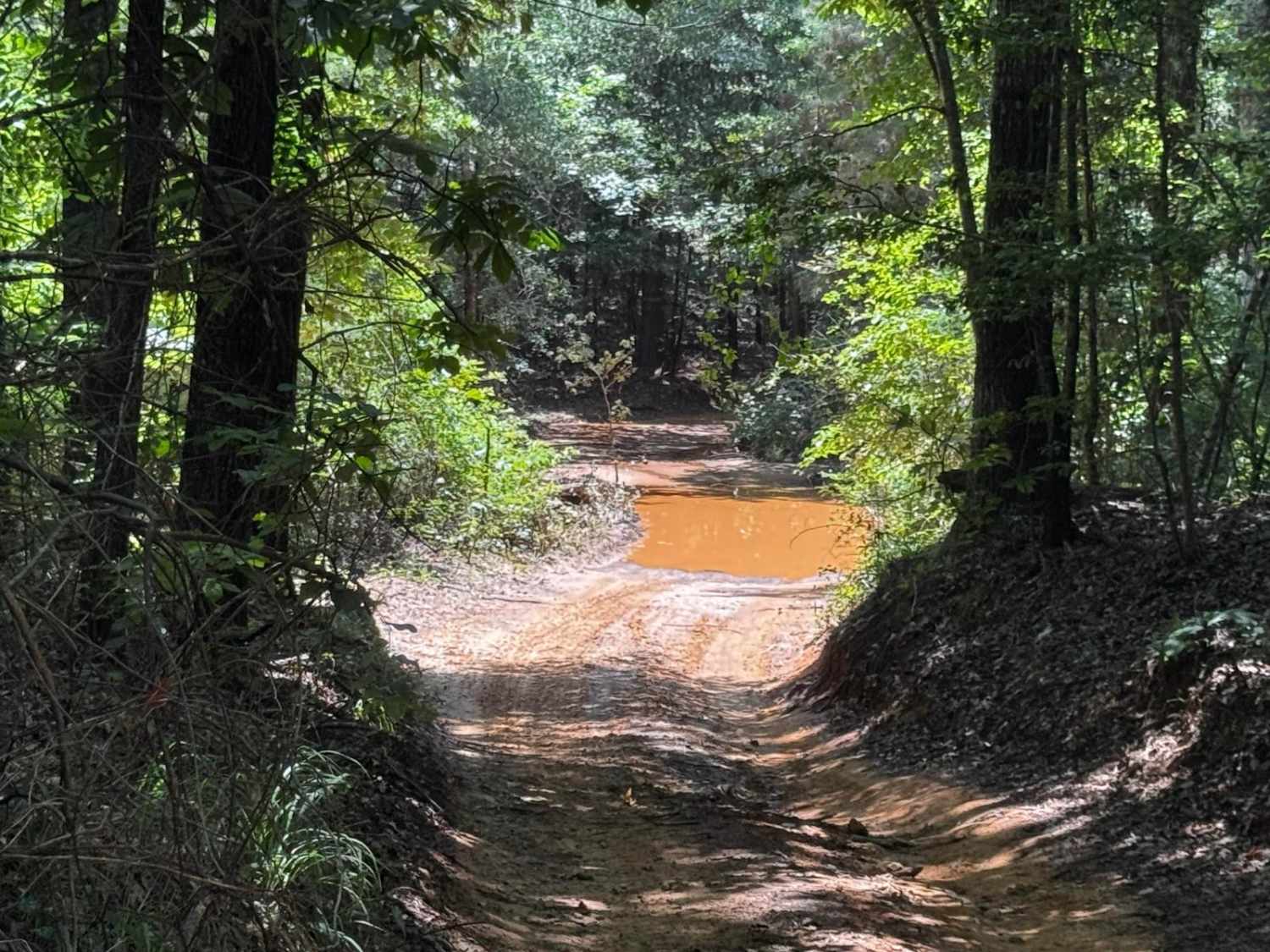
Inside the DRSNA, expect rough dirt roads with many uneven areas with loose rocks and mud pits after rain. There as many washes that can be easily flooded during rain. The area is not recommended for low-clearance vehicles. Some areas will require high clearance to reach. 4x4 is recommended to avoid getting stuck.
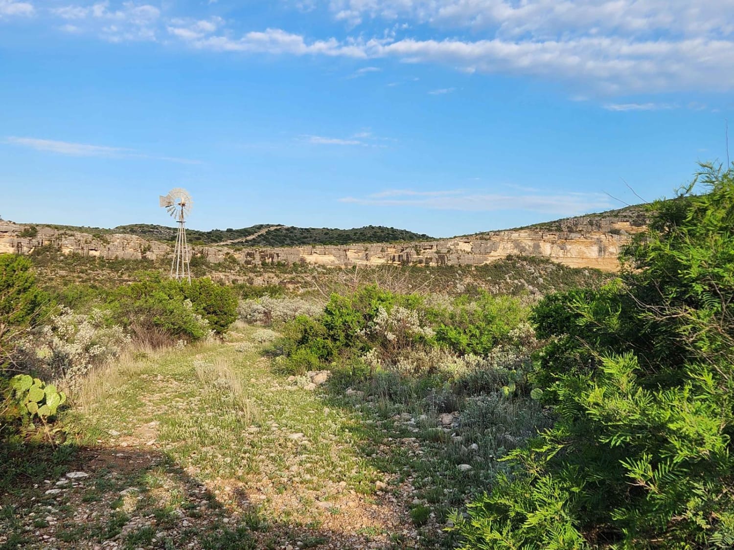
Photos of Devils River State Natural Area
Difficulty
There are 8 campsites in the park. While campsites 1-5 have a wider road, campsites 6-8 have a narrow road including many dips and loose rocks. Campsites 7-8 have increased difficulty are not in high clearance due to obstacles and rocky terrain. Reaching the river trail past campsites 1-5 can be reached in 2WD but clearance is suggested especially after rain.
Devils River State Natural Area can be accessed by the following ride types:
- High-Clearance 4x4
- SUV
Devils River State Natural Area Map
Popular Trails

Soo Sassy

Rock Garden

Pinto Canyon Road
The onX Offroad Difference
onX Offroad combines trail photos, descriptions, difficulty ratings, width restrictions, seasonality, and more in a user-friendly interface. Available on all devices, with offline access and full compatibility with CarPlay and Android Auto. Discover what you’re missing today!


