South Carolina Adventure Route Segment 5
Total Miles
243.6
Technical Rating
Best Time
Summer, Fall, Spring, Winter
Trail Type
Full-Width Road
Accessible By
Trail Overview
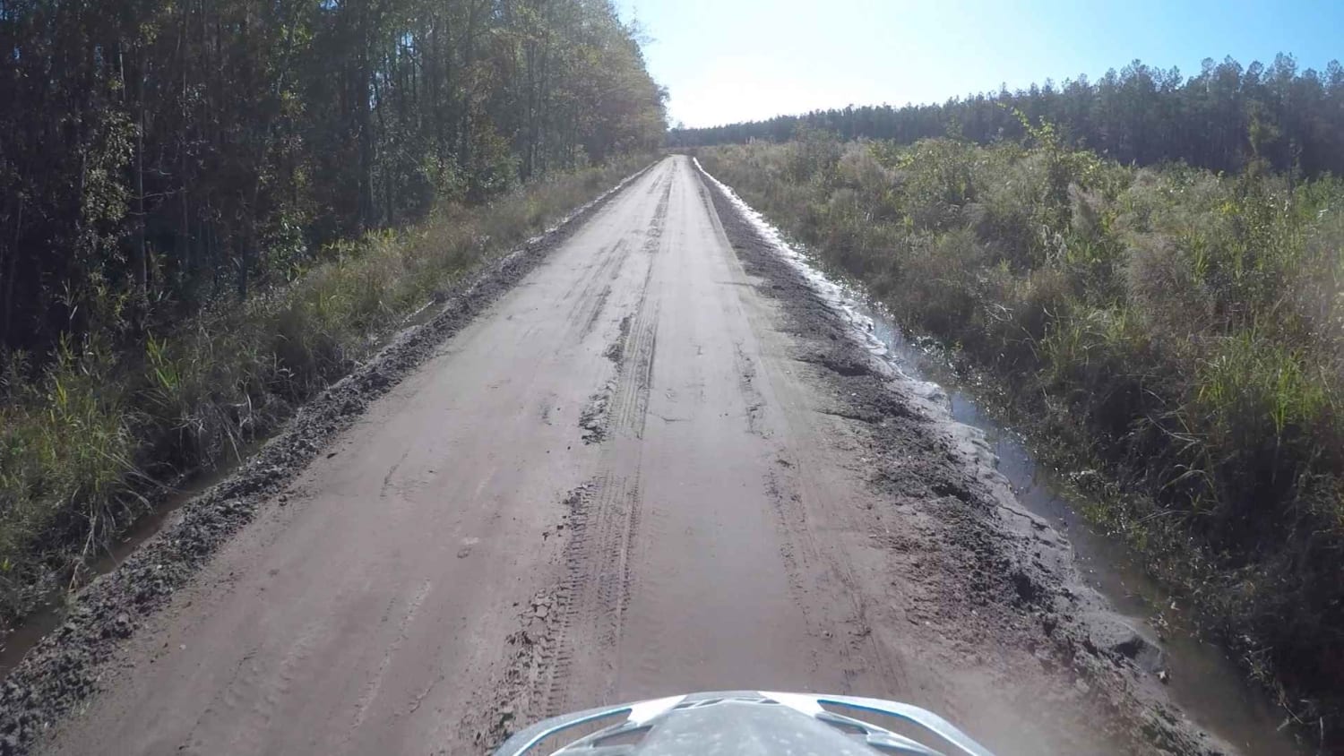
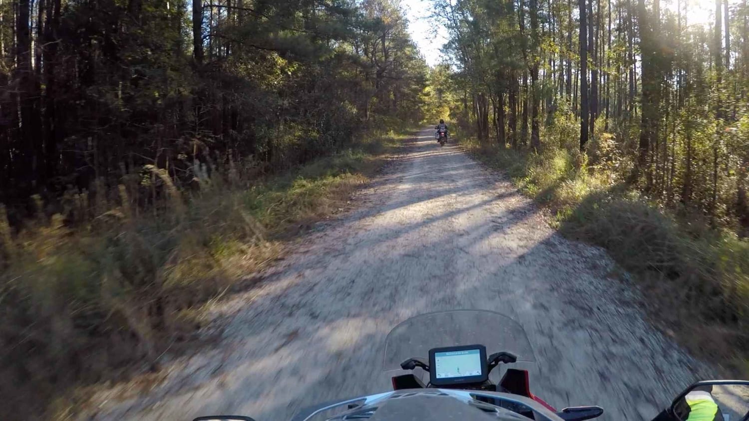
Segment 5 is the longest section of the SCAR Loop, and stretches between the towns of Camden and St George. The north end of this segment briefly passes through what is known as the "Sandhills" region of the state. You will most likely encounter sand between Hwy 378 and I-95, in the general area of Poinsett State Park. In dry conditions the sand can be loose and in places deep, so air-down and use caution when traversing this area. This segment also passes through Francis Marion National Forest and skirts Charleston, all on the coastal plain, where roads are flat and a mix of on/off pavement. About the SCAR: The South Carolina Adventure Route loops through approximately 1,000 miles of rural South Carolina. Along this route, you'll enjoy the Blue Ridge Mountains, the Atlantic Ocean, diverse forests, cotton fields, state parks, historical sites, and quaint towns. The SCAR also connects to the Smokey Mountains 500, the Georgia Traverse, and the Trans-America Trail (TAT), providing riders on those trails with a scenic route to the Atlantic coast at Edisto Beach. The roads along the SCAR are a mix of pavement and dirt, 60% and 40% respectively, with the surface alternating between gravel, dirt, clay, and sand. The route is not exceptionally technical, but dry conditions can leave the sandy roads loose, while wet conditions can leave the mud and clay roads slick and rutted. Travelers should expect to encounter deep sand and sizable mud holes in the worst conditions.
Photos of South Carolina Adventure Route Segment 5
Difficulty
This route is largely graded roads with mixed-in pavement, however, the sand can become soft during hot conditions making riding difficult for motos.
Status Reports
South Carolina Adventure Route Segment 5 can be accessed by the following ride types:
- High-Clearance 4x4
- SUV
South Carolina Adventure Route Segment 5 Map
Popular Trails

Testosteroad

Bonneau Ferry WMA - Waterfowl Loop

Andrew's Avenue
Service Road 4 (SR 4)
The onX Offroad Difference
onX Offroad combines trail photos, descriptions, difficulty ratings, width restrictions, seasonality, and more in a user-friendly interface. Available on all devices, with offline access and full compatibility with CarPlay and Android Auto. Discover what you’re missing today!