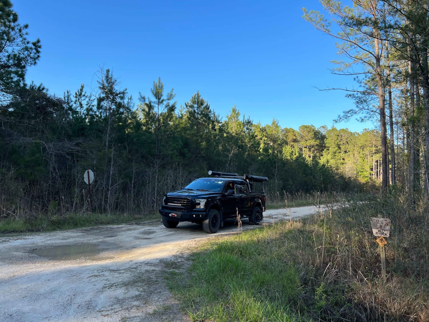
Mill Branch
Total Miles
8.0
Technical Rating
Best Time
Spring, Summer, Fall, Winter
Trail Type
Full-Width Road
Accessible By
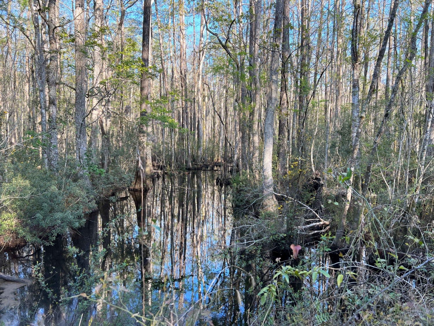
Trail Overview
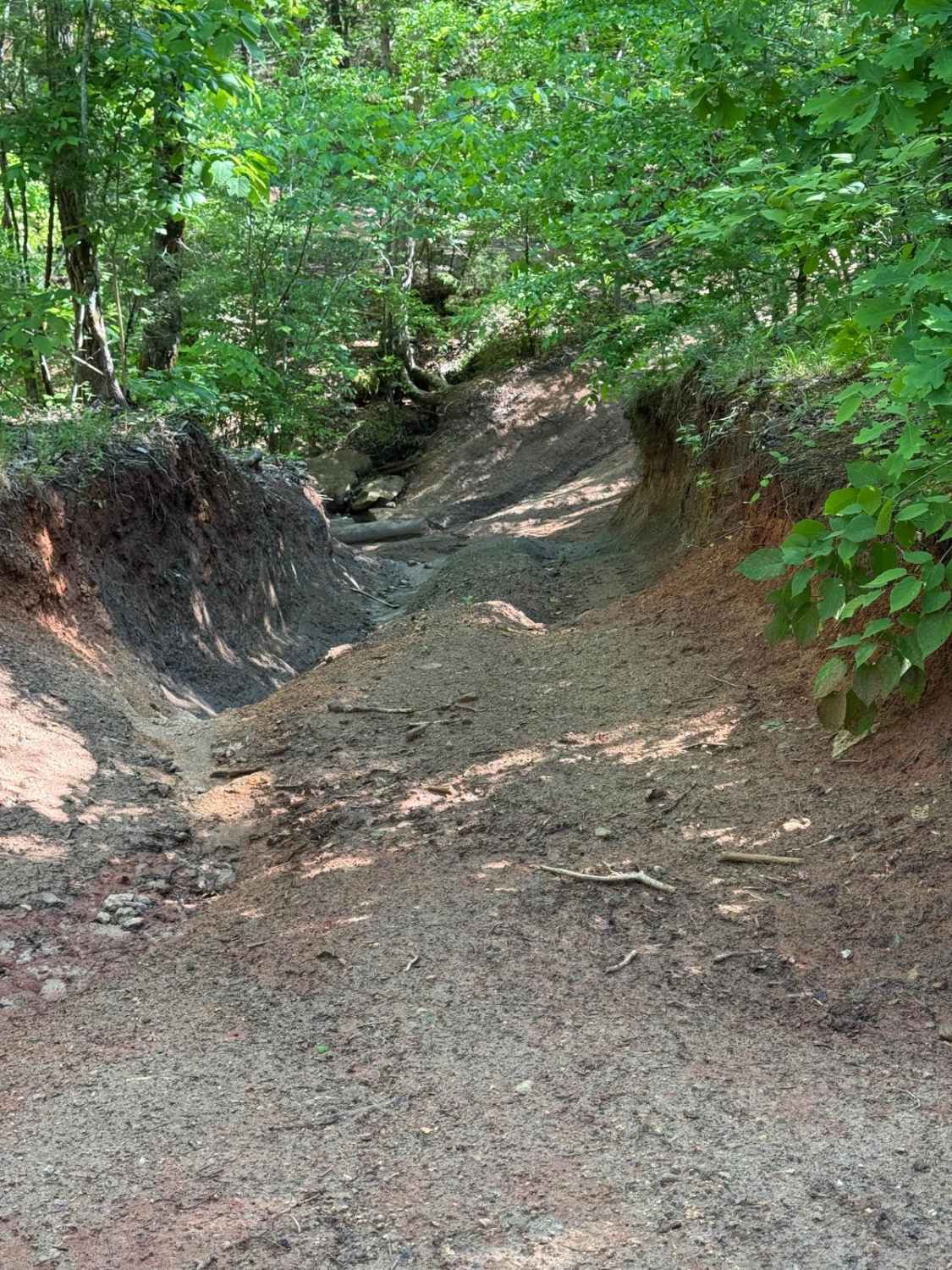
Mill Branch is a single-lane, mostly gravel road running north/south through Francis Marion National Forest. Caution should be taken when getting up to speed due to sparsely scattered but deep potholes that tend to hide in the shade. This route is an easy drive that can be made in any vehicle and passes by several river access points of Wambaw Creek, as well as the Elmwood hunt camp on the north end of the route. One section of the route skirts by Wambaw Swamp Wilderness, where standing cypress trees and moving water can be seen by the roadway. Keep your eyes peeled for alligators hiding in the dark waters.
Photos of Mill Branch
Difficulty
Caution should be taken when getting up to speed due to sparsely scattered but deep potholes that tend to hide in the shade. This route is an easy drive that can be made in any vehicle.
Mill Branch can be accessed by the following ride types:
- High-Clearance 4x4
- SUV
Mill Branch Map
Popular Trails
Service Road 17 (SR 17)

Secret Passage
Sidewinder/Tornado Cutoff
The onX Offroad Difference
onX Offroad combines trail photos, descriptions, difficulty ratings, width restrictions, seasonality, and more in a user-friendly interface. Available on all devices, with offline access and full compatibility with CarPlay and Android Auto. Discover what you’re missing today!