Mason Wildlife Trail South
Total Miles
2.2
Technical Rating
Best Time
Summer
Trail Type
Full-Width Road
Accessible By
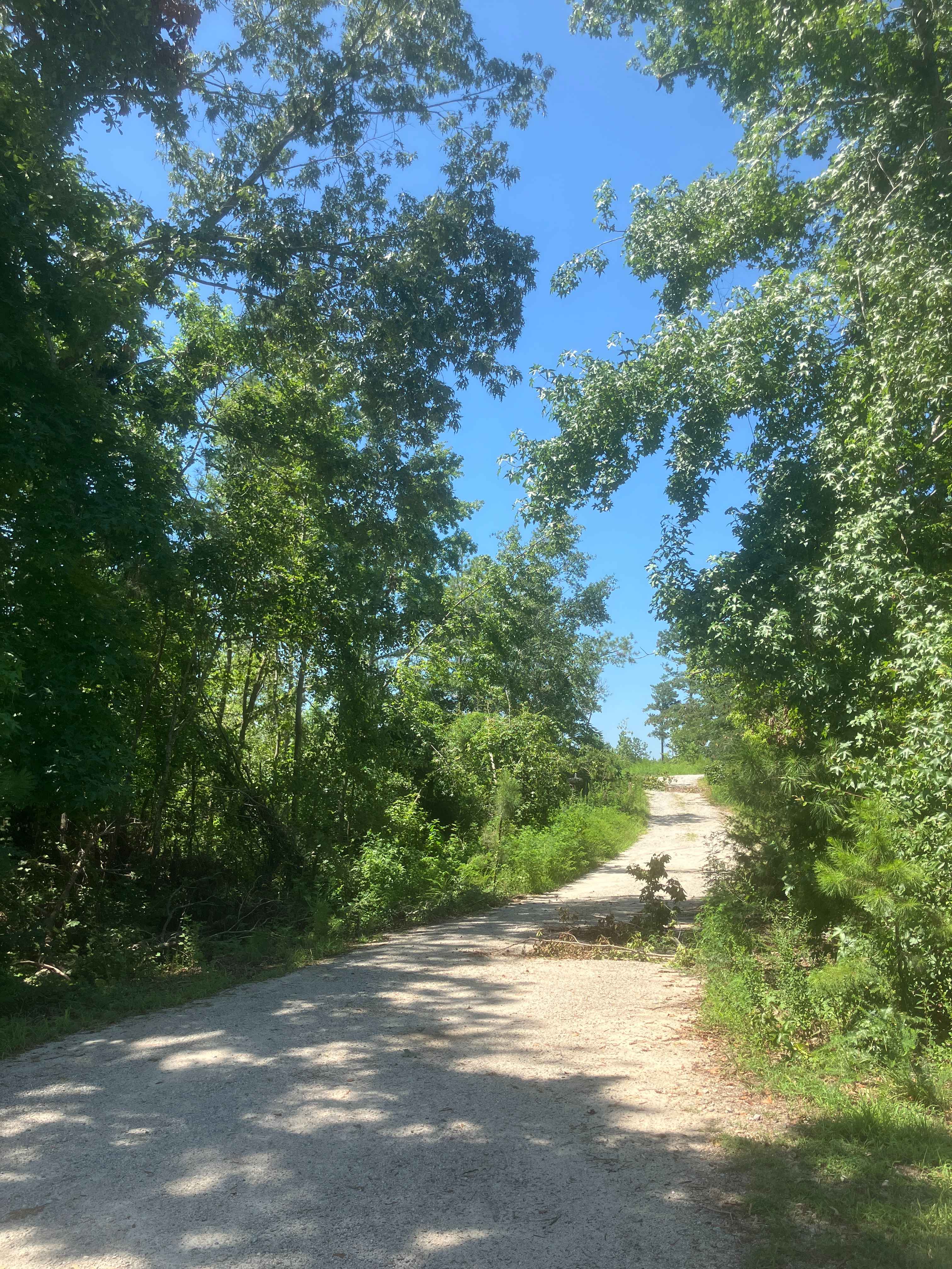
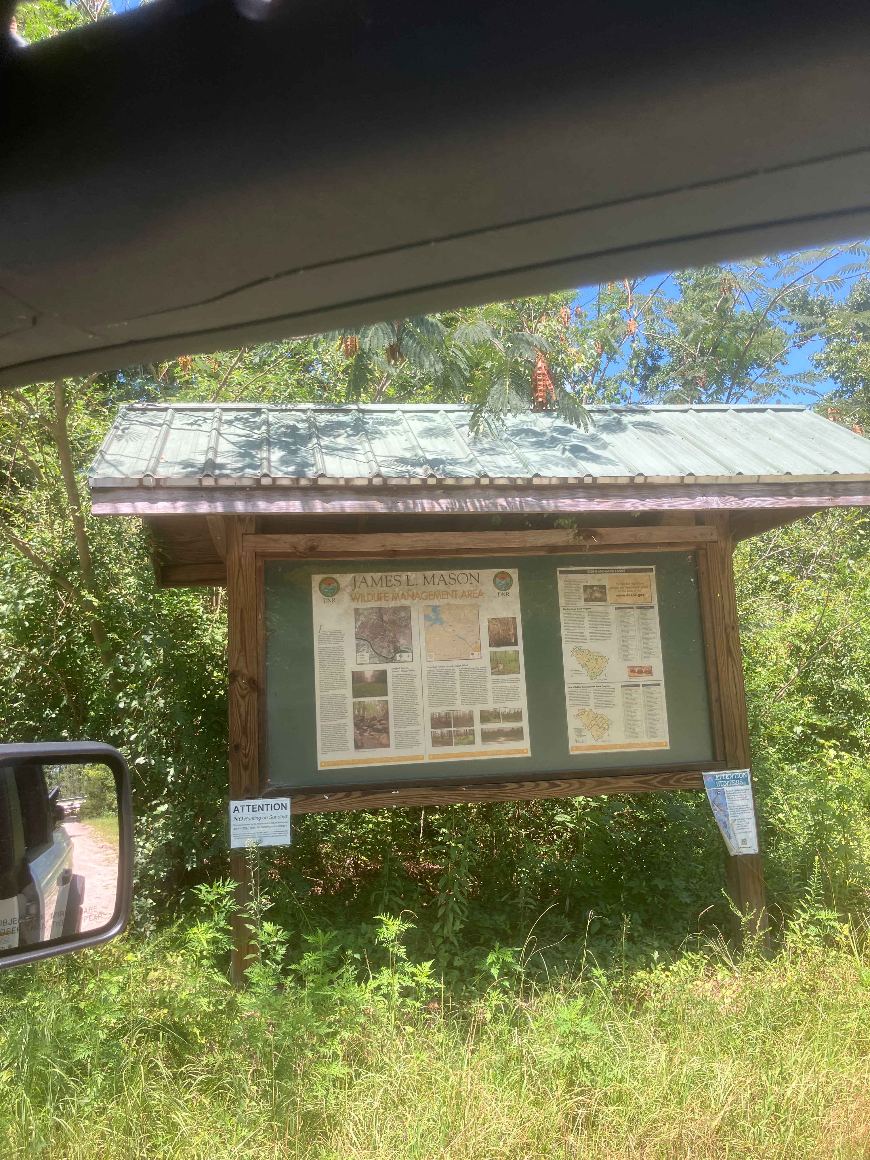
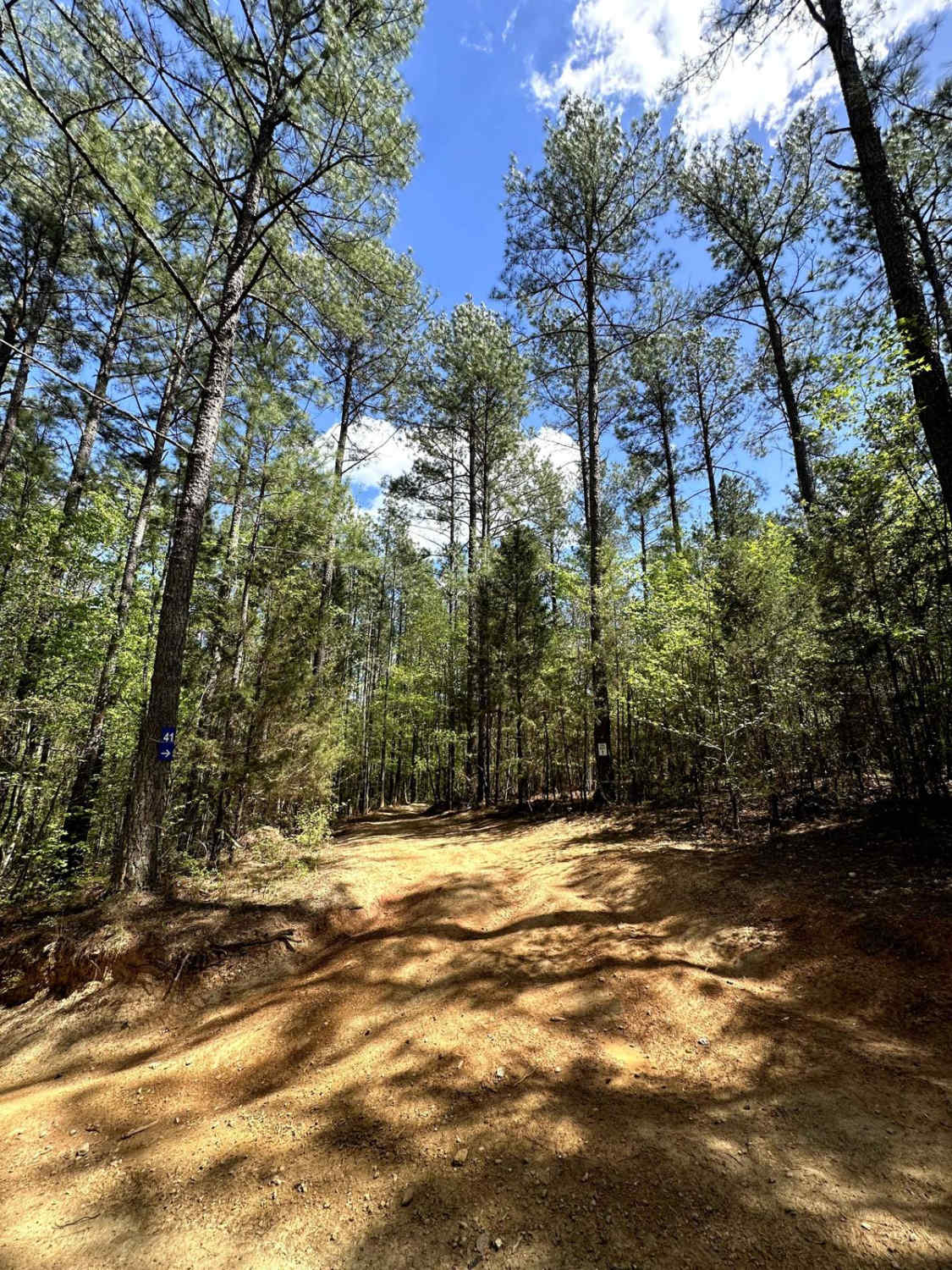
Trail Overview
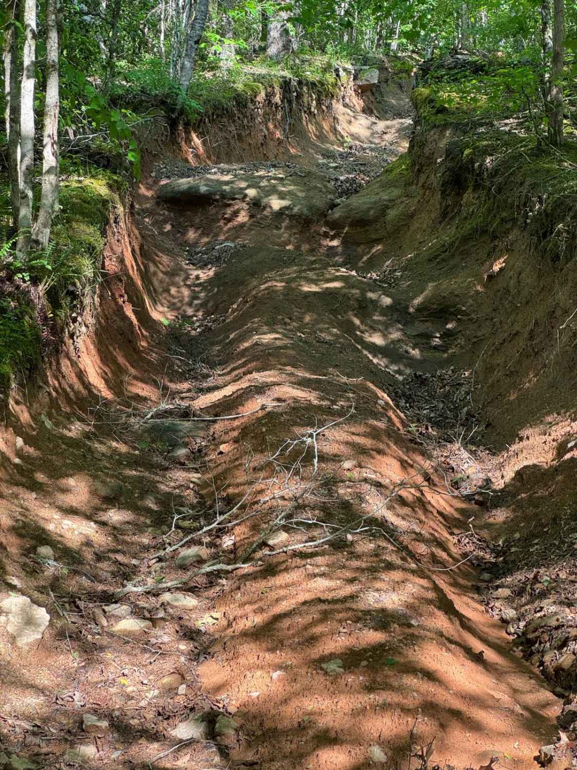
The trail begins as gravel but quickly transitions to a dirt path with grass in the center. Located in a Wildlife Management Area used for hunting, it's best to visit on Sundays when hunting is prohibited. Expect frequent small mud holes, as the trail can become very muddy. Taking the first right fork leads to another left fork, guiding you to a pleasant spot for a break or camping, though it's best in cooler seasons due to limited shade. Alternatively, the first left fork leads to the area's edge, with a left offshoot about three-quarters of the way down that exits to Highway 28. This exit involves a steep road with large branches to navigate. At the highway, there's an unlocked but closed gate.
Photos of Mason Wildlife Trail South
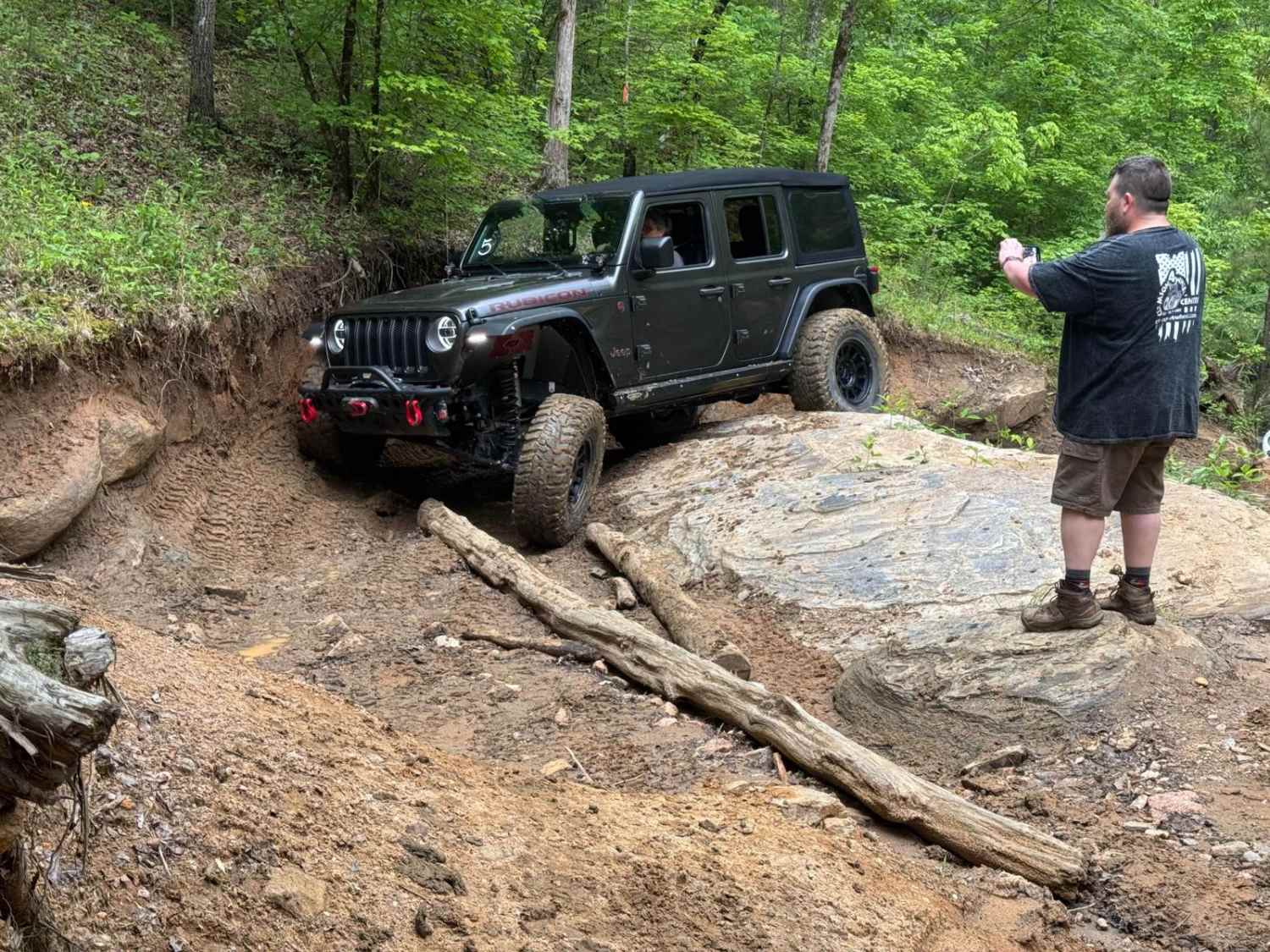
Difficulty
Potential to be very muddy and some deep ruts.
Status Reports
Mason Wildlife Trail South can be accessed by the following ride types:
- High-Clearance 4x4
- SUV
- SxS (60")
- ATV (50")
- Dirt Bike
Mason Wildlife Trail South Map
Popular Trails
Rocker Knocker
Li'l Devil
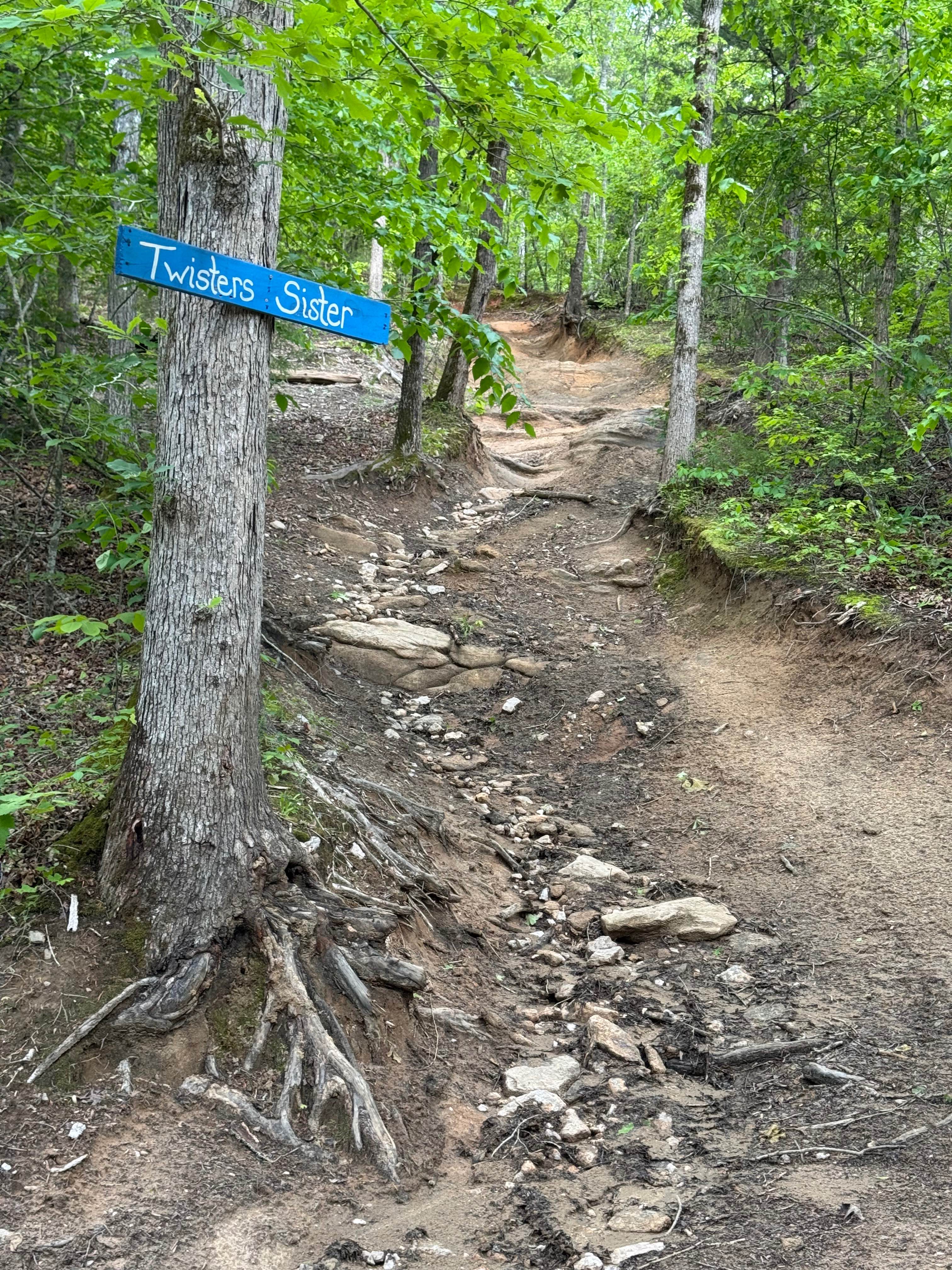
Twisters Sister
The onX Offroad Difference
onX Offroad combines trail photos, descriptions, difficulty ratings, width restrictions, seasonality, and more in a user-friendly interface. Available on all devices, with offline access and full compatibility with CarPlay and Android Auto. Discover what you’re missing today!