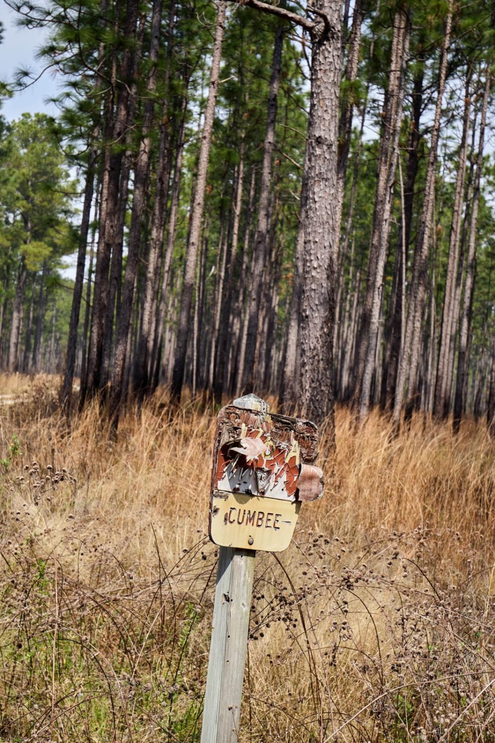
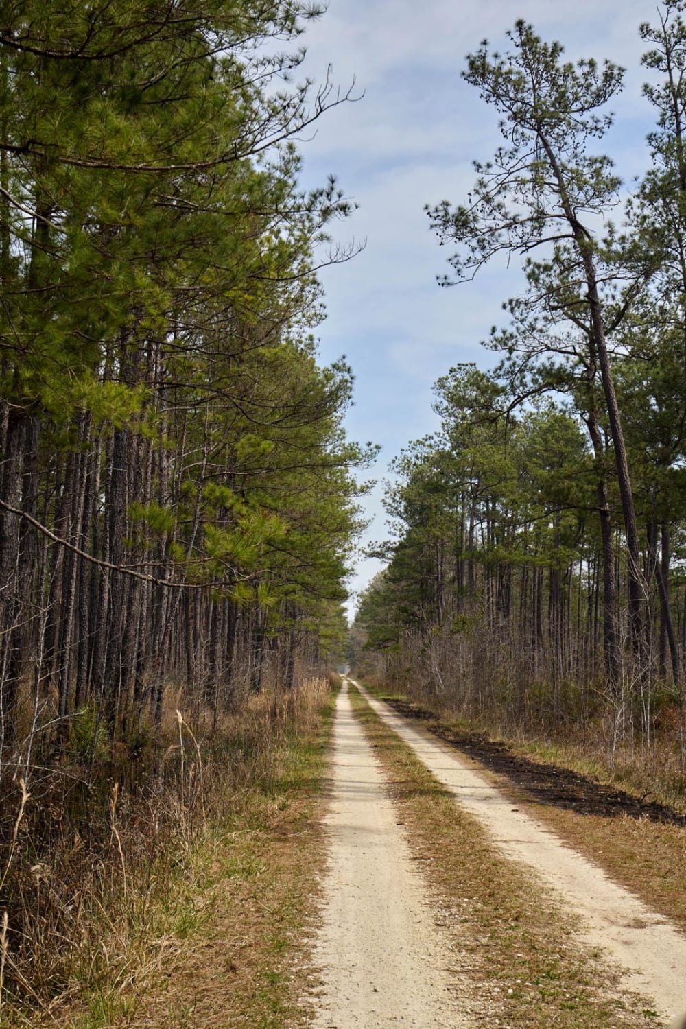
Cumbee Alternative - FSR176a
Total Miles
2.3
Technical Rating
Best Time
Spring, Summer, Fall, Winter
Trail Type
Full-Width Road
Accessible By
Trail Overview
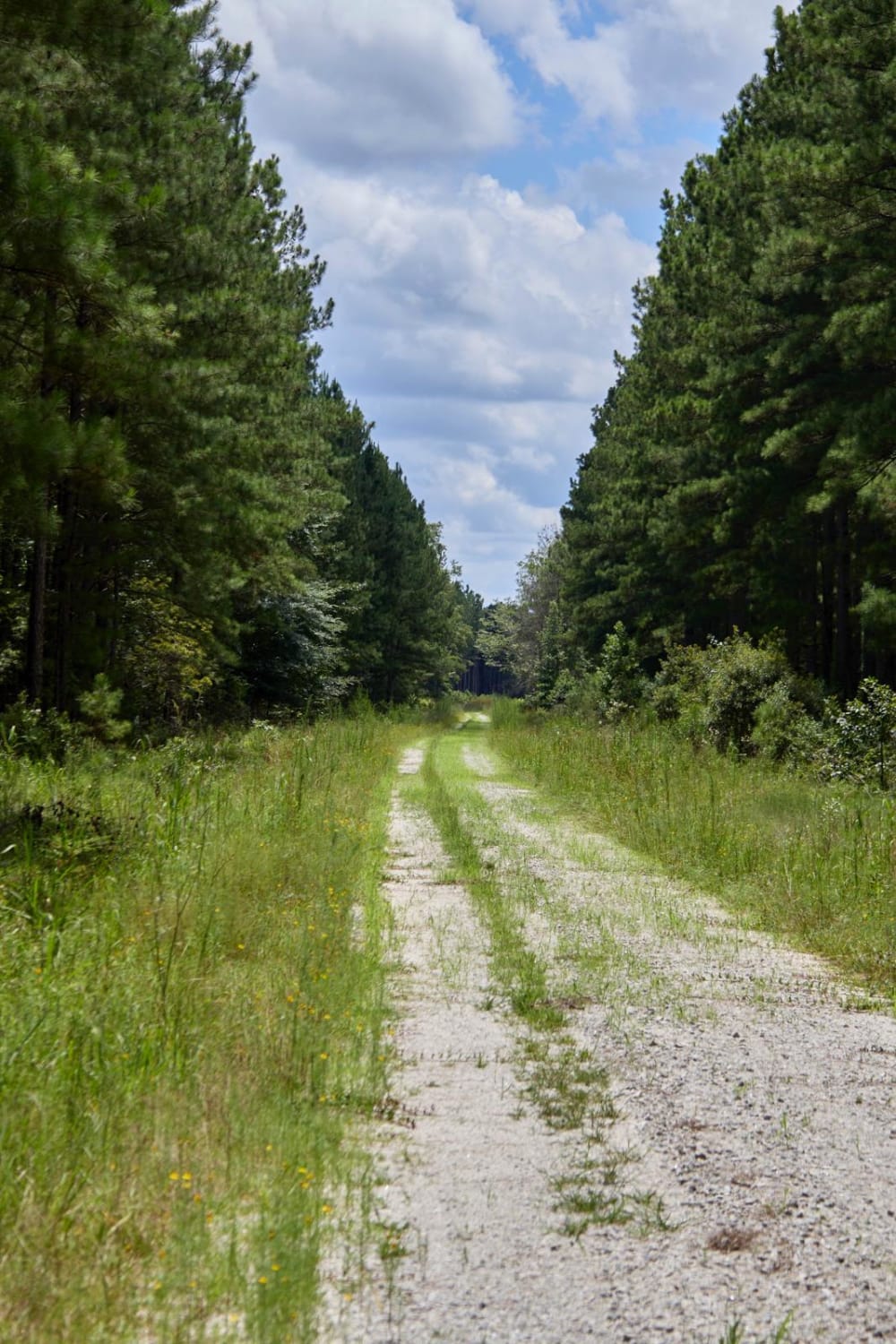
The Francis Marion National Forest is located north of Charleston, South Carolina. It is named for Revolutionary War hero Francis Marion, who was known to the British as the Swamp Fox. It lies entirely within the Middle Atlantic coastal forests ecoregion. The park is also entirely in a subtropical coniferous forest. There is a major trash issue right now in the forest; please pack out our trash and collect a bag if you have the capability. This is a spur alternative route to the nearby Cumbee - FSR176 route. This route went through a controlled burn a few days before mapping, resulting in parts of the road being damaged by heavy equipment. Along the route are many opportunities for wildlife observation in the cleared fields.
Photos of Cumbee Alternative - FSR176a
Difficulty
This is a maintained road with no obstacles. It is one vehicle wide with no turnarounds until the end.
Status Reports
Cumbee Alternative - FSR176a can be accessed by the following ride types:
- High-Clearance 4x4
- SUV
- SxS (60")
- ATV (50")
- Dirt Bike
Cumbee Alternative - FSR176a Map
Popular Trails

Bonneau Ferry WMA - Nimitz Road
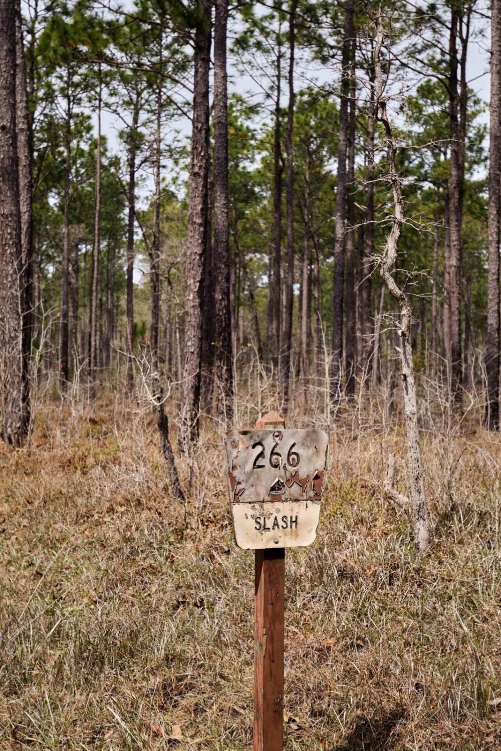
Slash Road - FSR226
Middle Road
The onX Offroad Difference
onX Offroad combines trail photos, descriptions, difficulty ratings, width restrictions, seasonality, and more in a user-friendly interface. Available on all devices, with offline access and full compatibility with CarPlay and Android Auto. Discover what you’re missing today!