Upper Grays Run Road
Total Miles
3.5
Technical Rating
Best Time
Spring, Summer, Fall
Trail Type
Full-Width Road
Accessible By
Trail Overview
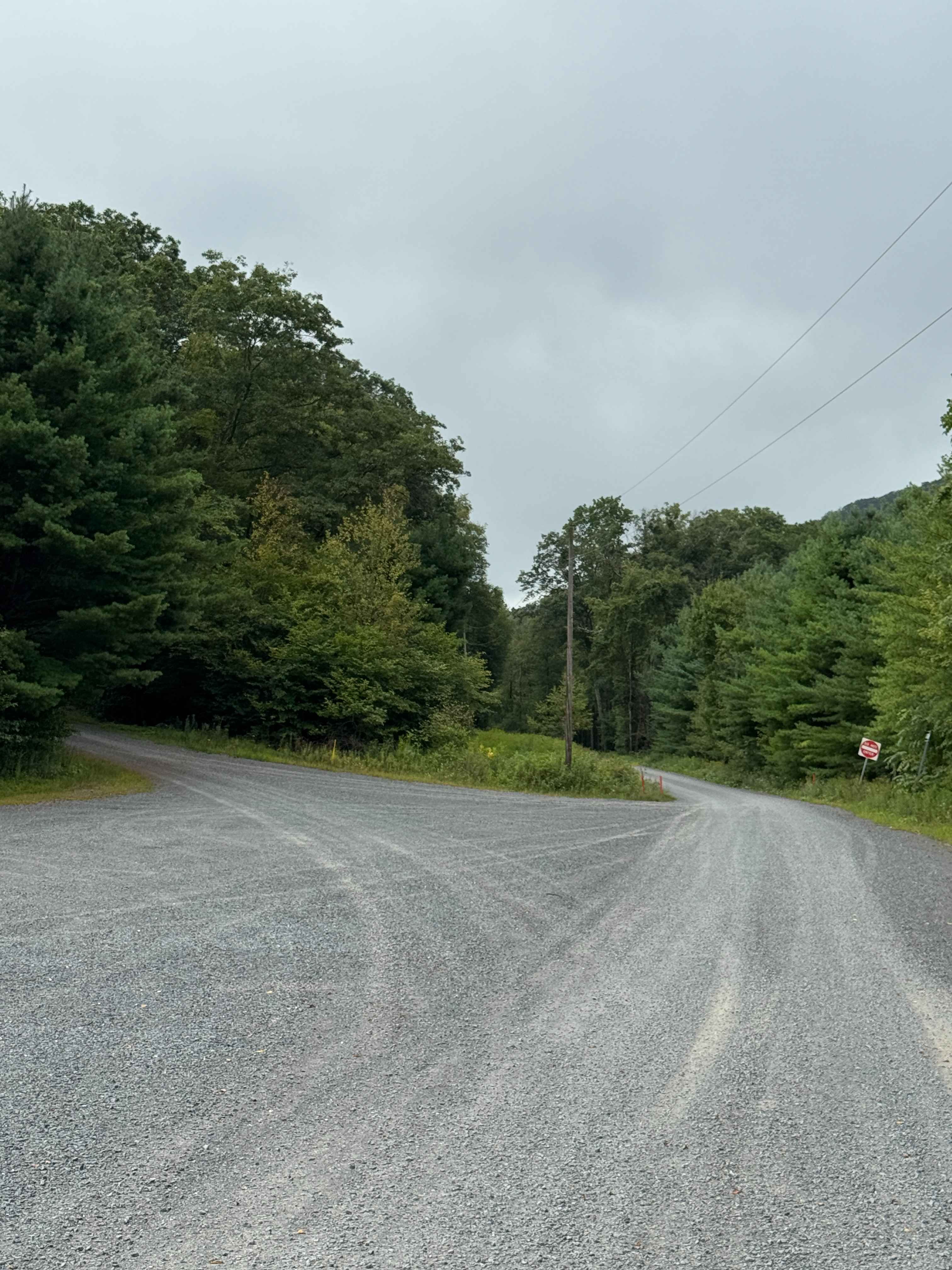
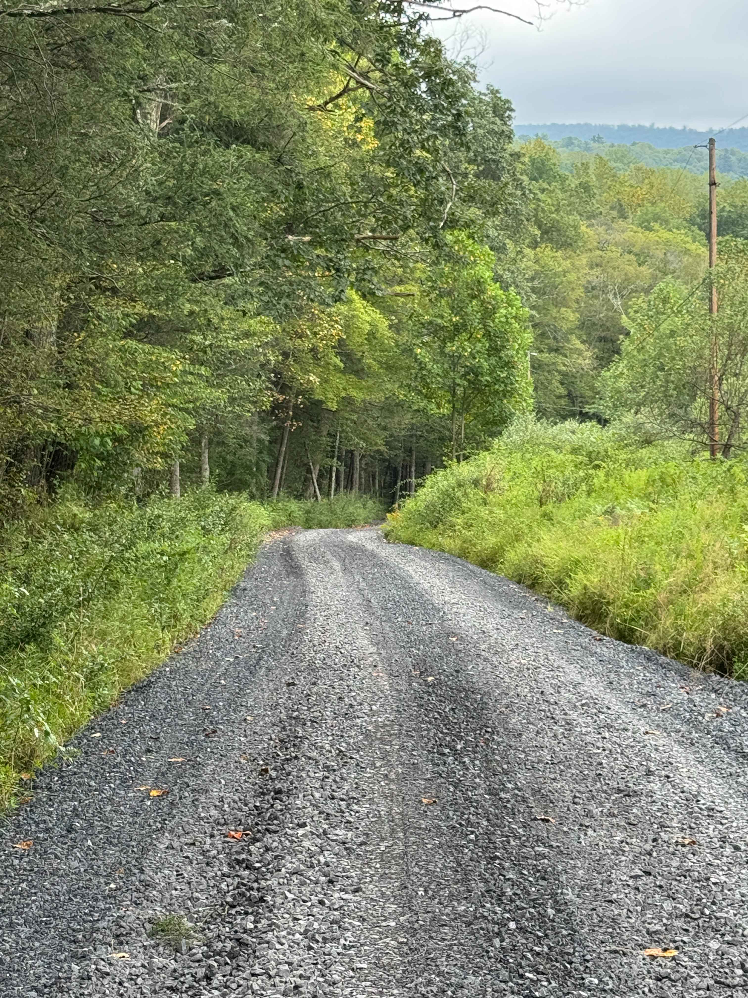
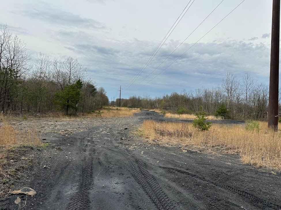
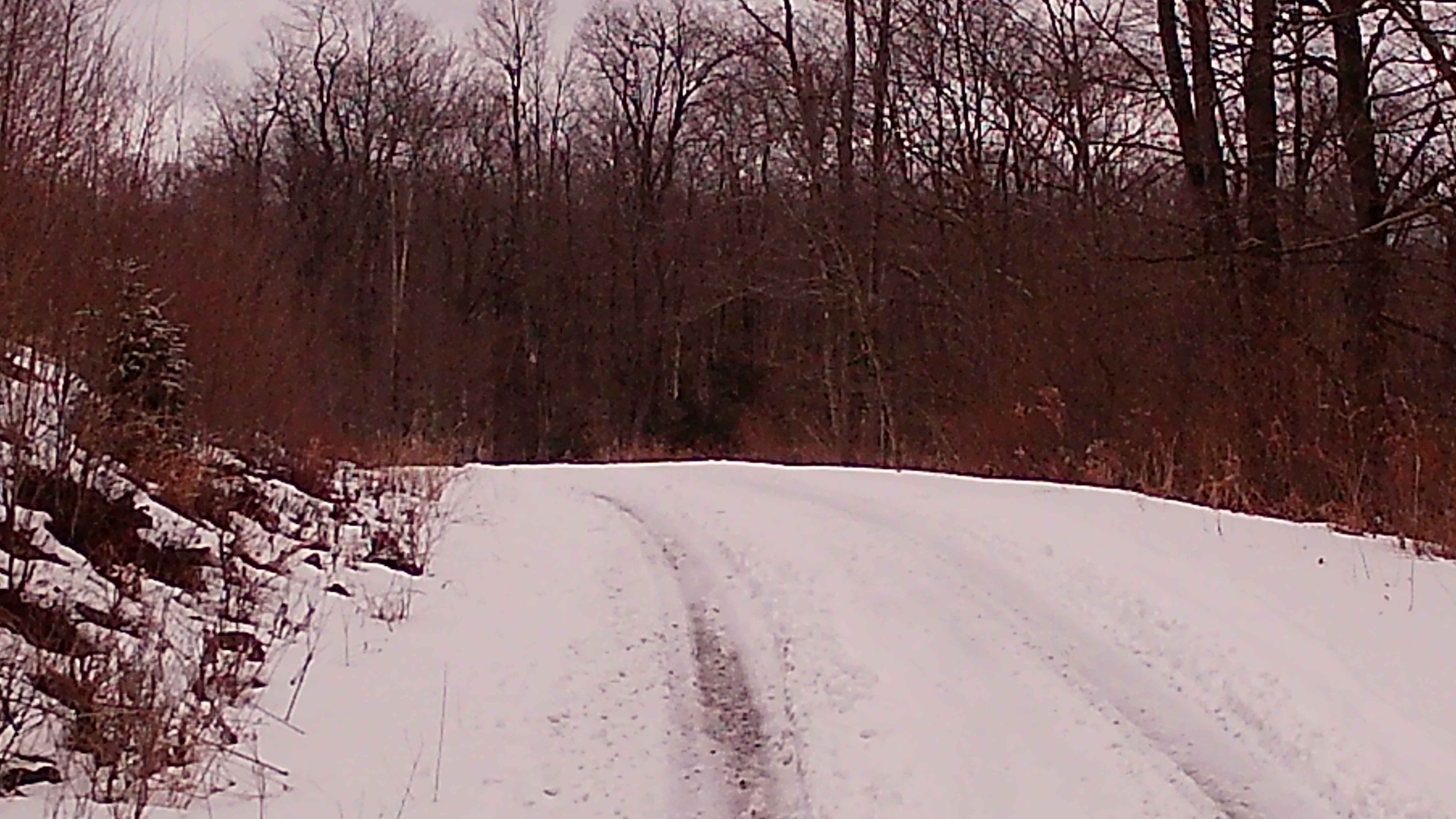
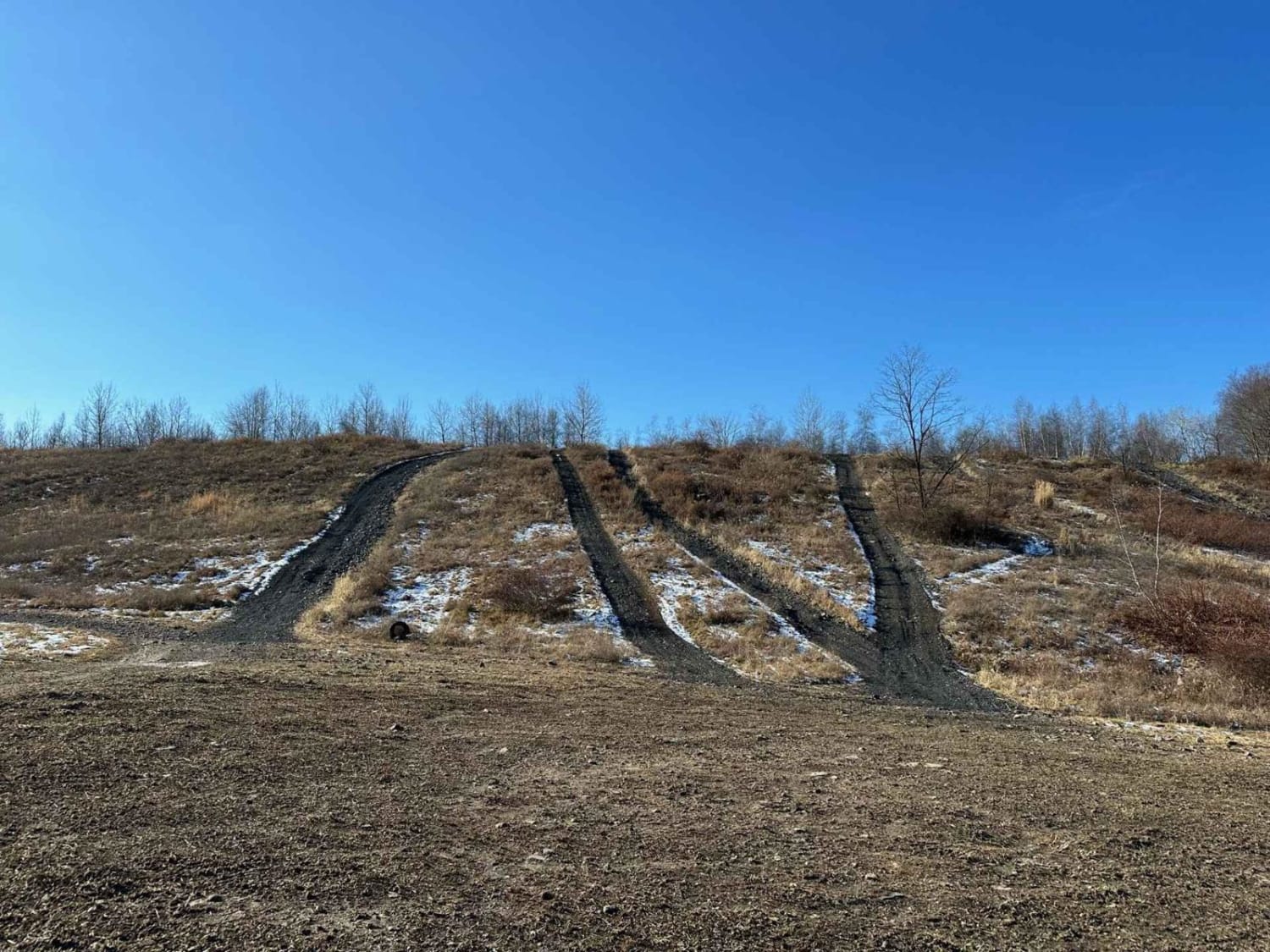
Upper Grays Run Road is primarily a graded gravel road with a few sections of ungraded gravel. It is an easy ride in the summer months; however, there is no winter maintenance. During times of rain, snow, and ice, the road can become rutted and harder to travel on. Upper Grays Run Road is within Loyalsock State Forest. There are numerous spots to stop along this road and enjoy the foliage and possible wildlife. This region of Pennsylvania is a great place to explore during the fall when the leaves are changing color, and the full beauty of the State Forest is on display.
Photos of Upper Grays Run Road
Difficulty
Upper Grays Run Road is an easy ride in the summer months, however there is no winter maintenance. During times of rain, snow, and ice, the road will become harder to travel on. It can become washed out and rutted in the spring thaw and rainy seasons. There can be water in the ruts, and they will become slick and muddy.
Upper Grays Run Road can be accessed by the following ride types:
- High-Clearance 4x4
- SUV
Upper Grays Run Road Map
Popular Trails
New Pond Road
Locust Gap 58

Shoot the Moon Black
The onX Offroad Difference
onX Offroad combines trail photos, descriptions, difficulty ratings, width restrictions, seasonality, and more in a user-friendly interface. Available on all devices, with offline access and full compatibility with CarPlay and Android Auto. Discover what you’re missing today!