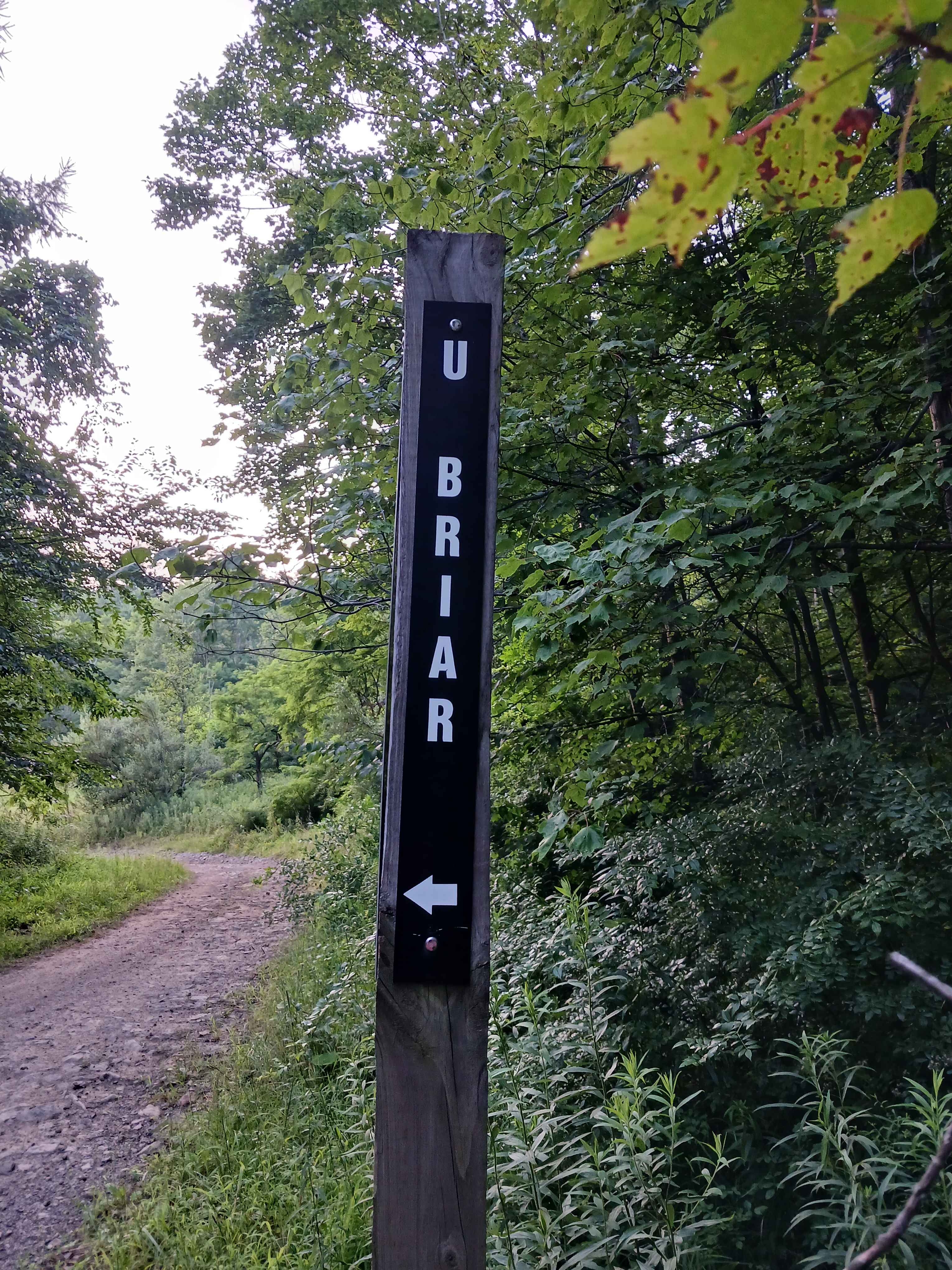
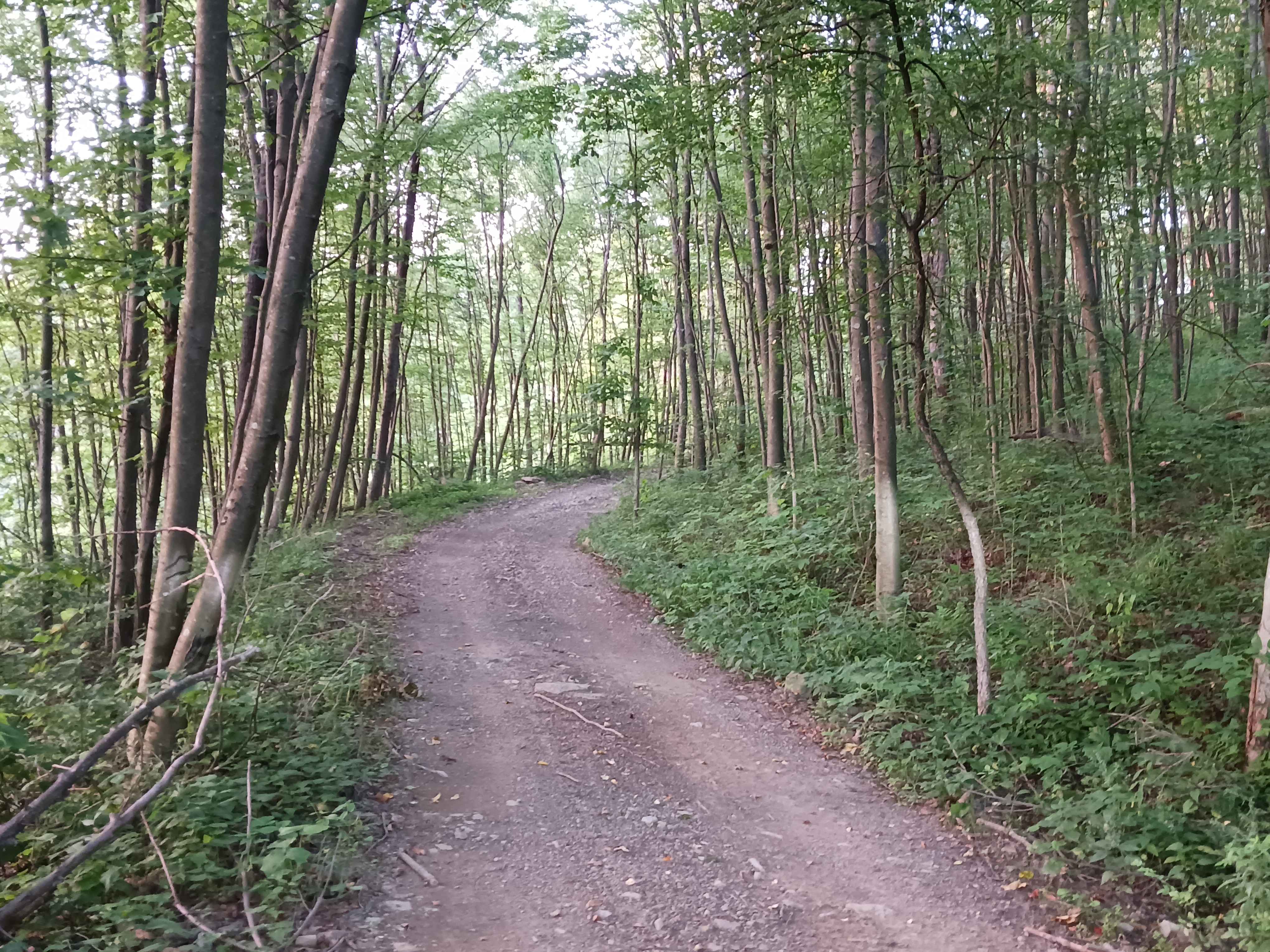
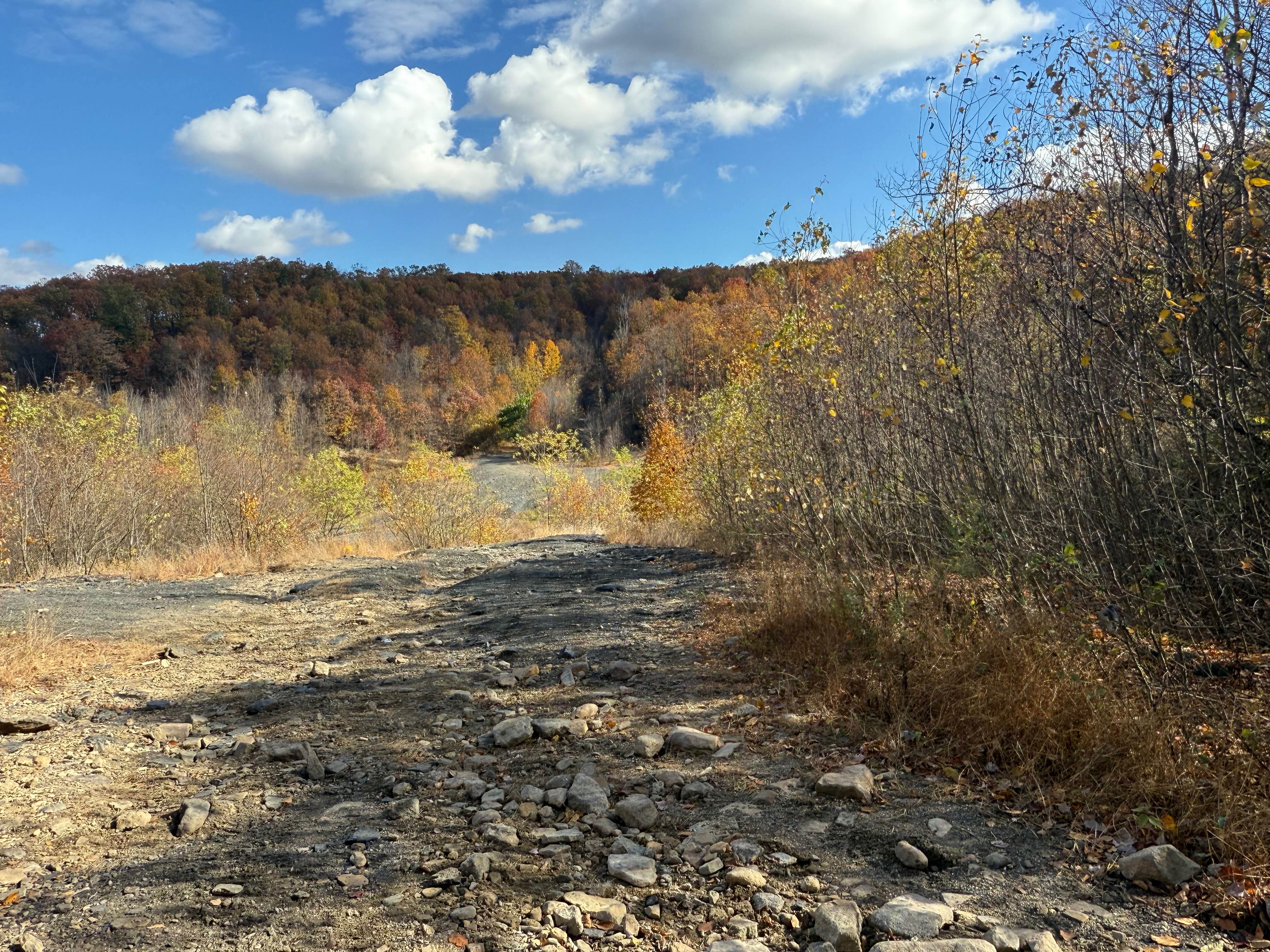
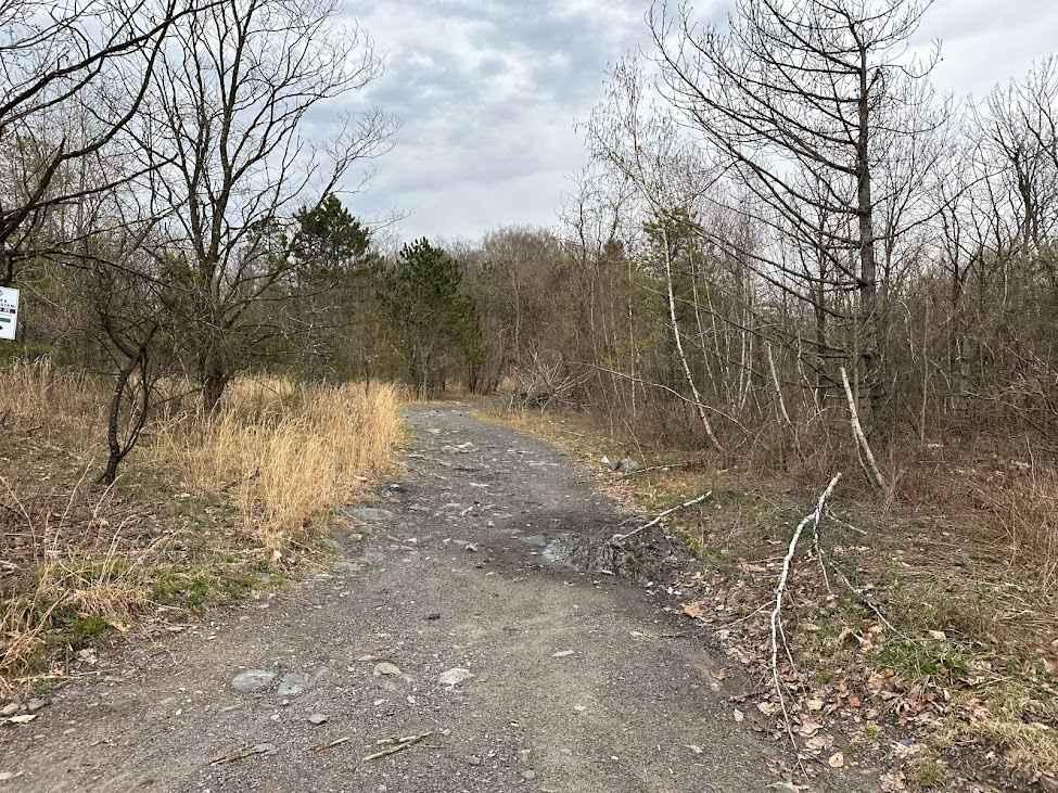
Upper Briar Path - Rock Run Recreation Area
Total Miles
1.7
Technical Rating
Best Time
Spring, Summer, Fall
Trail Type
60" Trail
Accessible By
Trail Overview
Upper Briar Path - A trail of Rock Run Recreation Area. Located on the Northern End of the park, Upper Briar Path should be able to be traversed by anyone on a motorcycle, ATV, or SxS with some skill. It is approximately 1.7 miles in length. Both ends of Upper Briar start and end at Lower Terrace Path. There are limited opportunities to enter or exit Upper Briar, only at Holtz Hill Road and Hawk Lane. Upper Briar is mostly narrow throughout its length, with a lot of change in elevation as it winds its way along the ridge up and down. You will encounter both loose and embedded rocks, tight trees, and one extremely steep section of trail. One section also has some larger rocks and deep mud. Upper Briar is in the woods for its entirety, with a few limited views. This trail is open to bikes, ATVs, and SxSs. This is a two-way trail and offers a different experience riding it both directions. Trail driven and documented in August 2025.
Photos of Upper Briar Path - Rock Run Recreation Area
Difficulty
This is an uneven, rutted dirt trail with loose rocks and some mud holes. There are multiple short steep grades. The trail is one vehicle wide with limited places to pass.
Status Reports
Upper Briar Path - Rock Run Recreation Area can be accessed by the following ride types:
- SxS (60")
- ATV (50")
- Dirt Bike
Upper Briar Path - Rock Run Recreation Area Map
Popular Trails

Ashland 104

Gray Hill Road
The onX Offroad Difference
onX Offroad combines trail photos, descriptions, difficulty ratings, width restrictions, seasonality, and more in a user-friendly interface. Available on all devices, with offline access and full compatibility with CarPlay and Android Auto. Discover what you’re missing today!