Tyler Road
Total Miles
6.1
Technical Rating
Best Time
Spring, Summer, Fall
Trail Type
Full-Width Road
Accessible By
Trail Overview
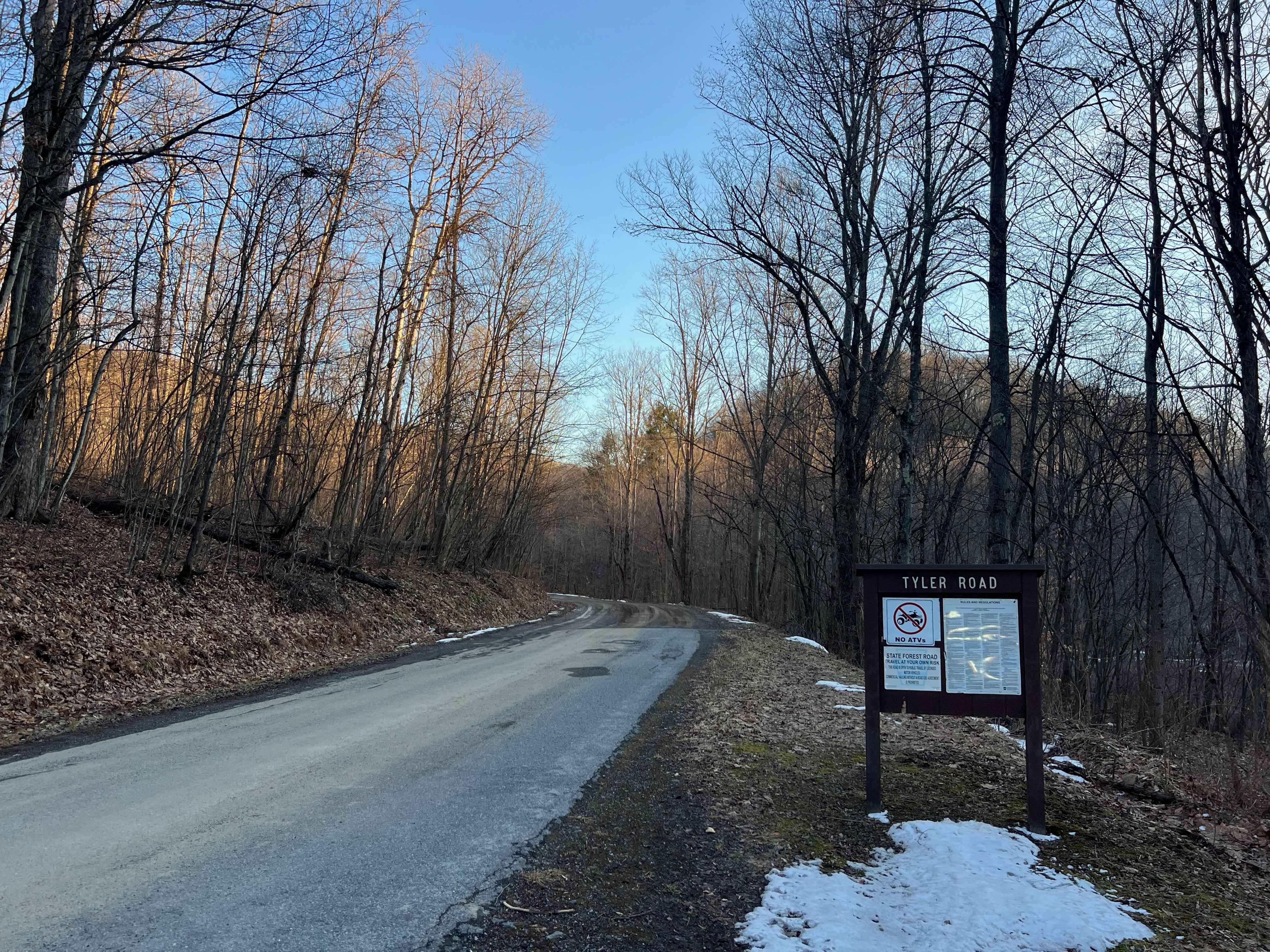
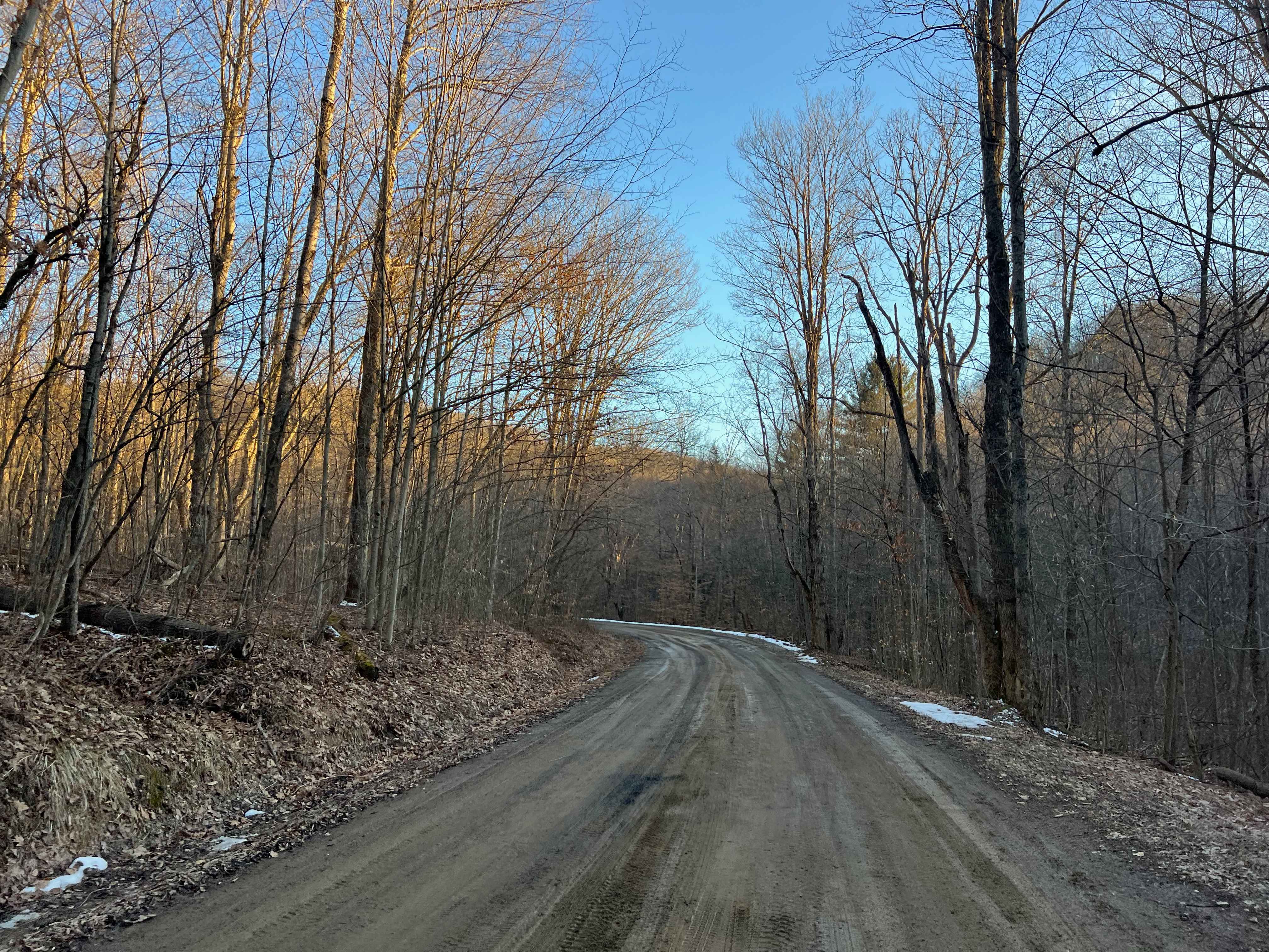
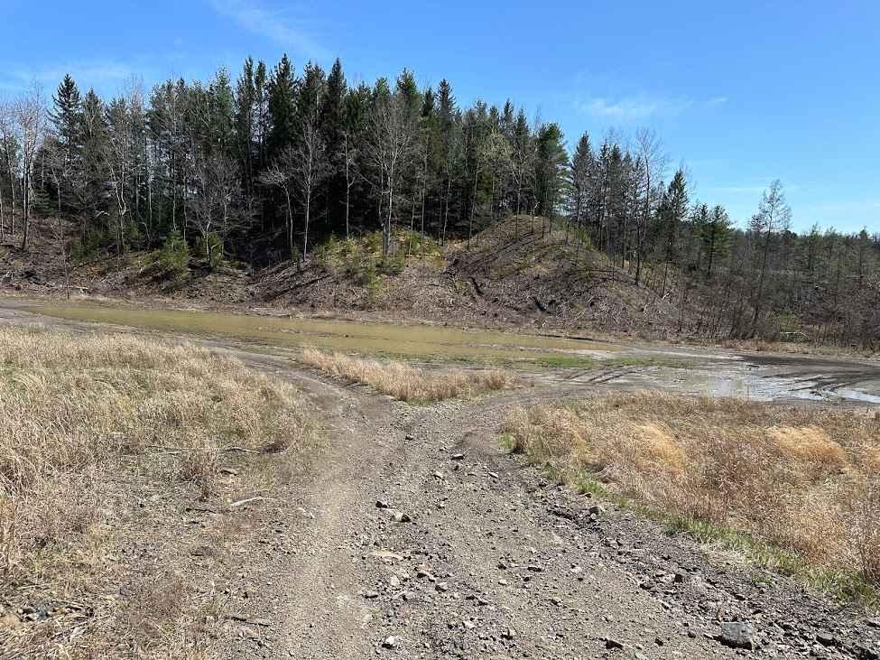
Tyler Road in Moshannon State Forest is an unpaved and well-traveled route between the small town of Tyler and McGeorge Road. There is a long, steep hill at the west (town of Tyler) end of the road. The hill section is narrow and is a shelf road. The road is smooth gravel and wide enough to pass carefully in many areas, particularly east of Buskirk Road. The north end of Parker Dam State Park can be accessed from this road as well. A few streams and hiking trails intersect Tyler Road; however, they are best accessed from the state park, where there are ample designated parking areas.
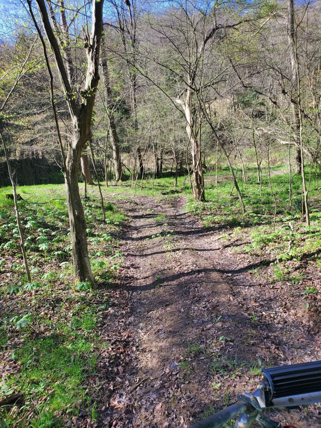
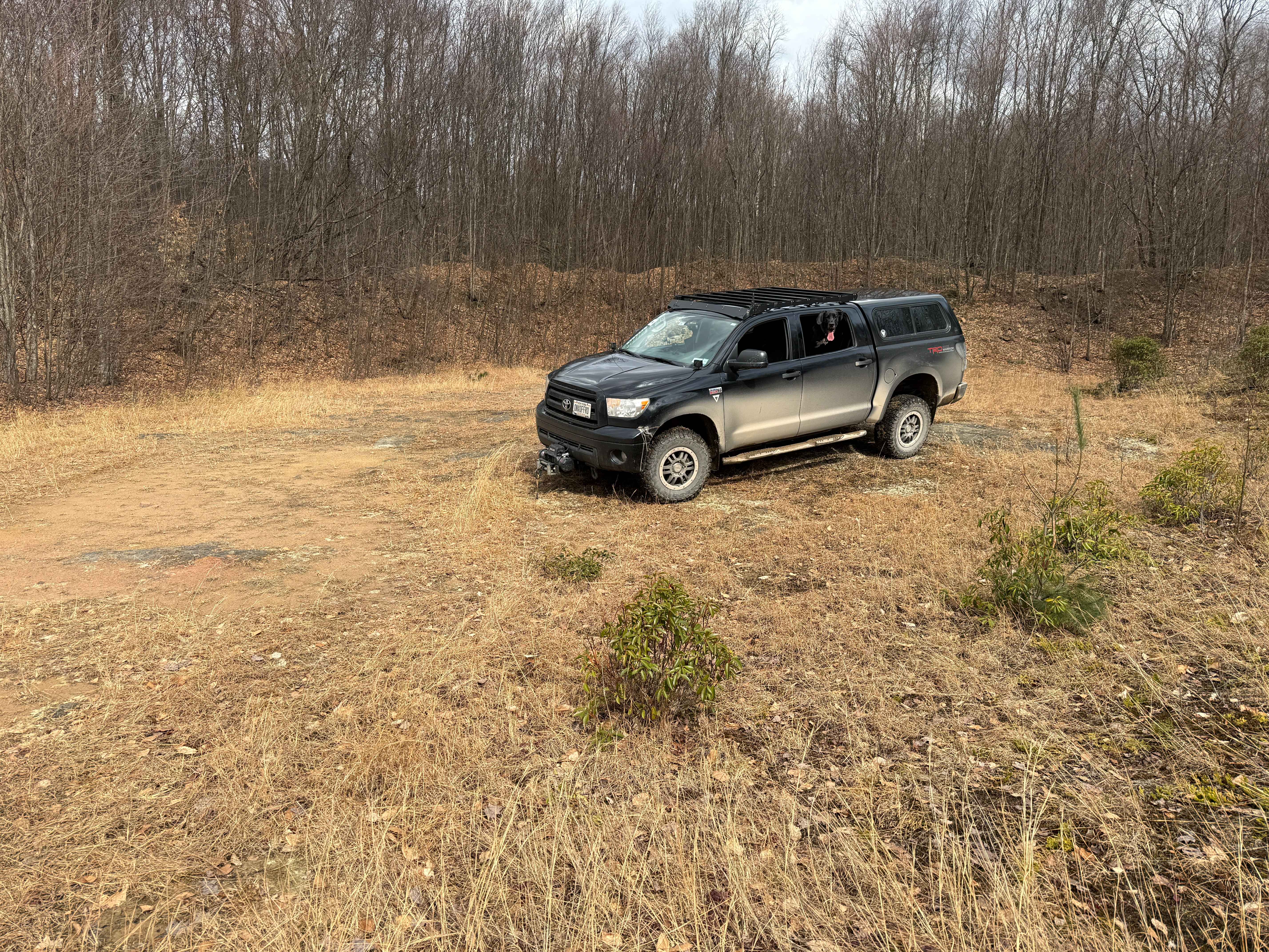
Photos of Tyler Road
Difficulty
The road surface is gravel and generally well-maintained. Other than the occasional pothole, there are no obstacles of any consequence. The road is typically unmaintained during winter, and the steep hill to the west of Buskirk Road can be very dangerous with snow and ice.
Tyler Road can be accessed by the following ride types:
- High-Clearance 4x4
- SUV
Tyler Road Map
Popular Trails

102 Blue Harder Entrance
McMullen A - FS 101A
St. Keirns 65
The onX Offroad Difference
onX Offroad combines trail photos, descriptions, difficulty ratings, width restrictions, seasonality, and more in a user-friendly interface. Available on all devices, with offline access and full compatibility with CarPlay and Android Auto. Discover what you’re missing today!