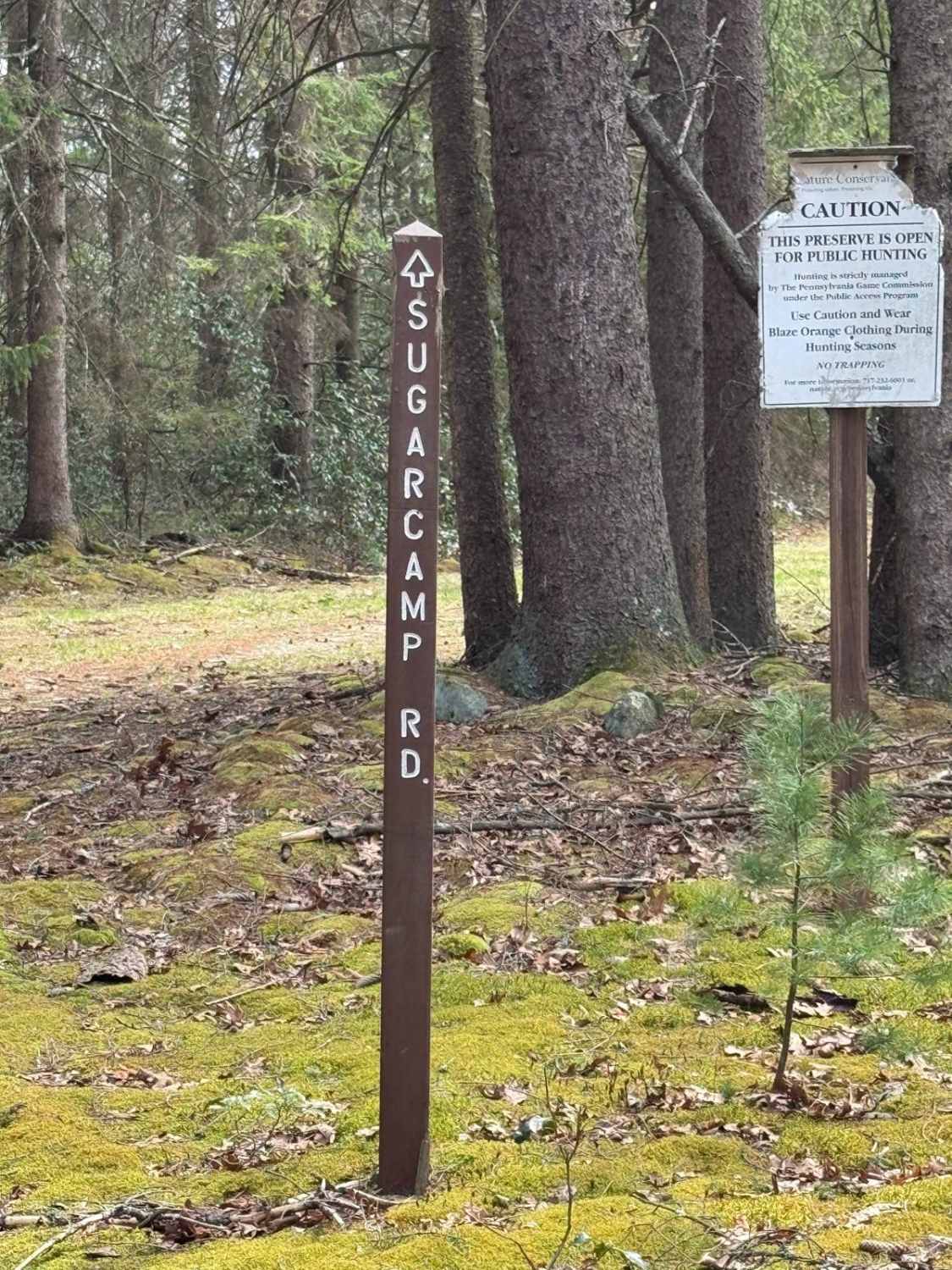
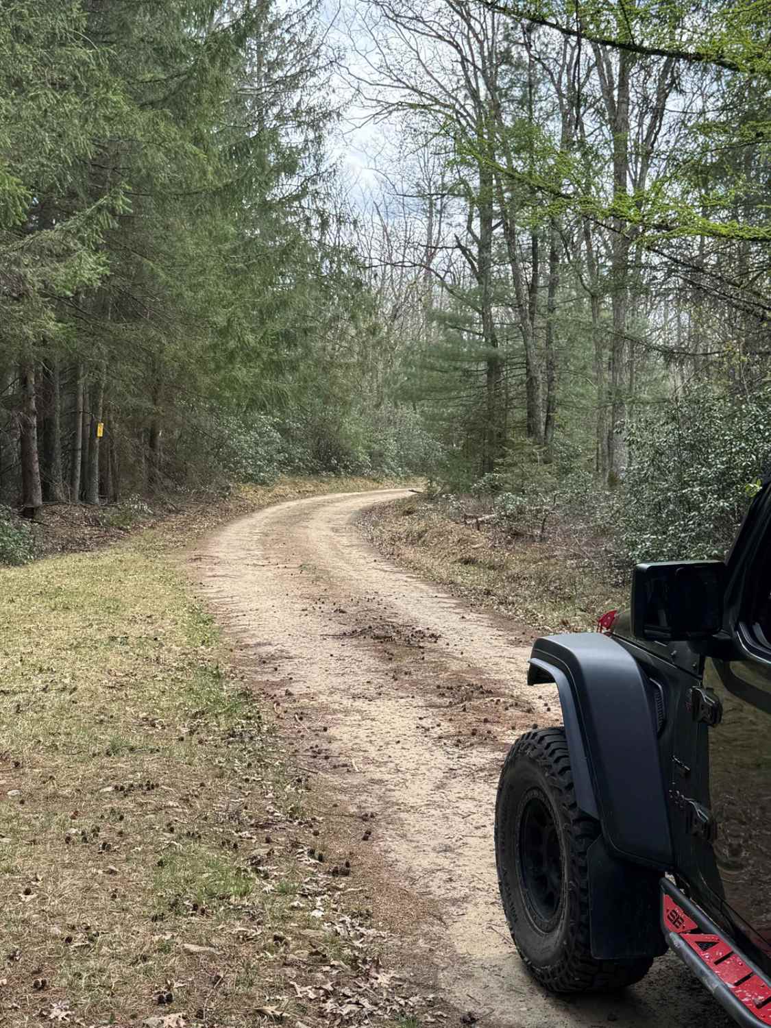
Sugar Camp Road
Total Miles
3.1
Technical Rating
Best Time
Summer
Trail Type
High-Clearance 4x4 Trail
Accessible By
Trail Overview
Sugar Camp Road is primarily an ungraded dirt road. It is a deeply rutted, rocky, and off-camber ride in the summer months, however, there is no winter maintenance. During times of rain, snow, and ice, the road will become heavily rutted and harder to travel on. There are areas of heavy mud and standing water. There is an at-grade stream crossing where Sugar Camp Road crosses over Rattlesnake Run. Sugar Camp Road is within Sproul State Forest. Pack a chainsaw for this road. There will usually be a tree or branch that will need to be addressed.
Photos of Sugar Camp Road
Difficulty
Sugar Camp Road is primarily an ungraded dirt road. It is a deeply rutted, rocky, and off-camber ride in the summer months, however, there is no winter maintenance. During times of rain, snow, and ice, the road will become heavily rutted and harder to travel on. There are areas of heavy mud and standing water. There is a stream crossing at Rattlesnake Run. During normal flow, it is about 1 foot deep. During spring snow melt and heavy rains, it will deepen to almost 2' deep. There are normally trees and large branches across the road that could impede travel. Pack a chainsaw for this road.
History
Whetham Fire Tower is a sixty-foot steel tower and was built in 1923 and takes its name from John D. Whetham, a pioneer settler and lumberman of this region. Whetham is also the name of the nearest Pennsylvania railroad station to this tower and was at one time the western terminus of this railroad. Whetham about the time of the Civil war was a thriving lumber center and produced a large number of rafts of White Pine timber which was used for main masts of sailing vessels of that period. The tower is on Sugar Camp ridge overlooking Rattlesnake run and is reached by automobile from Renovo via the state road to Hyner, thence by township road along the river to Whetham. At this point, the tourist may cross the railroad and follow the road along Rattlesnake run about three-quarters of a mile, then cross Rattlesnake Run and proceed to the tower by the left hand Sugar Camp road, a distance of about four miles. The Whetham tower has a ground elevation of about 2,240 feet and from its cabin can be seen ridge after ridge of typical Northern Pennsylvania wooded landscape. There is no better hunting country in the state than in the region of this tower. Drinking water can be obtained a short distance down the trail to the north of the tower.
Status Reports
Sugar Camp Road can be accessed by the following ride types:
- High-Clearance 4x4
Sugar Camp Road Map
Popular Trails
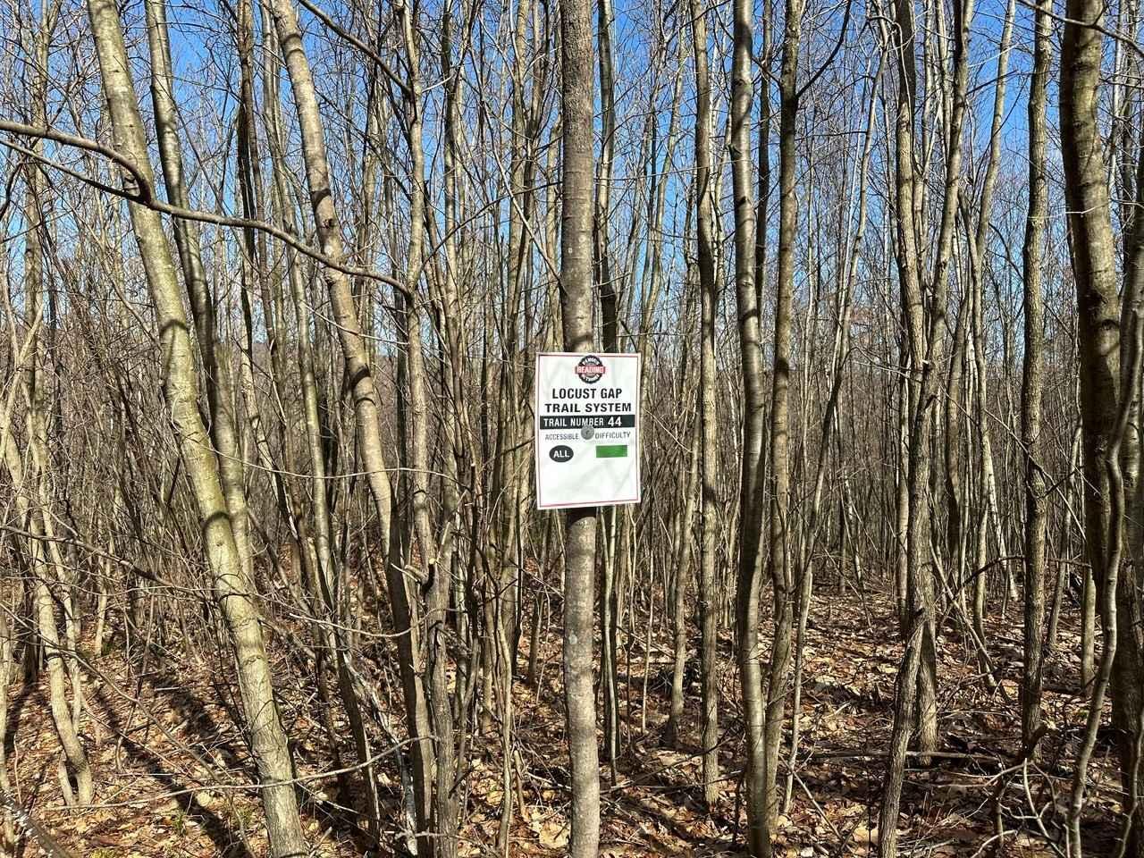
Locust Gap 44

Firetower Road
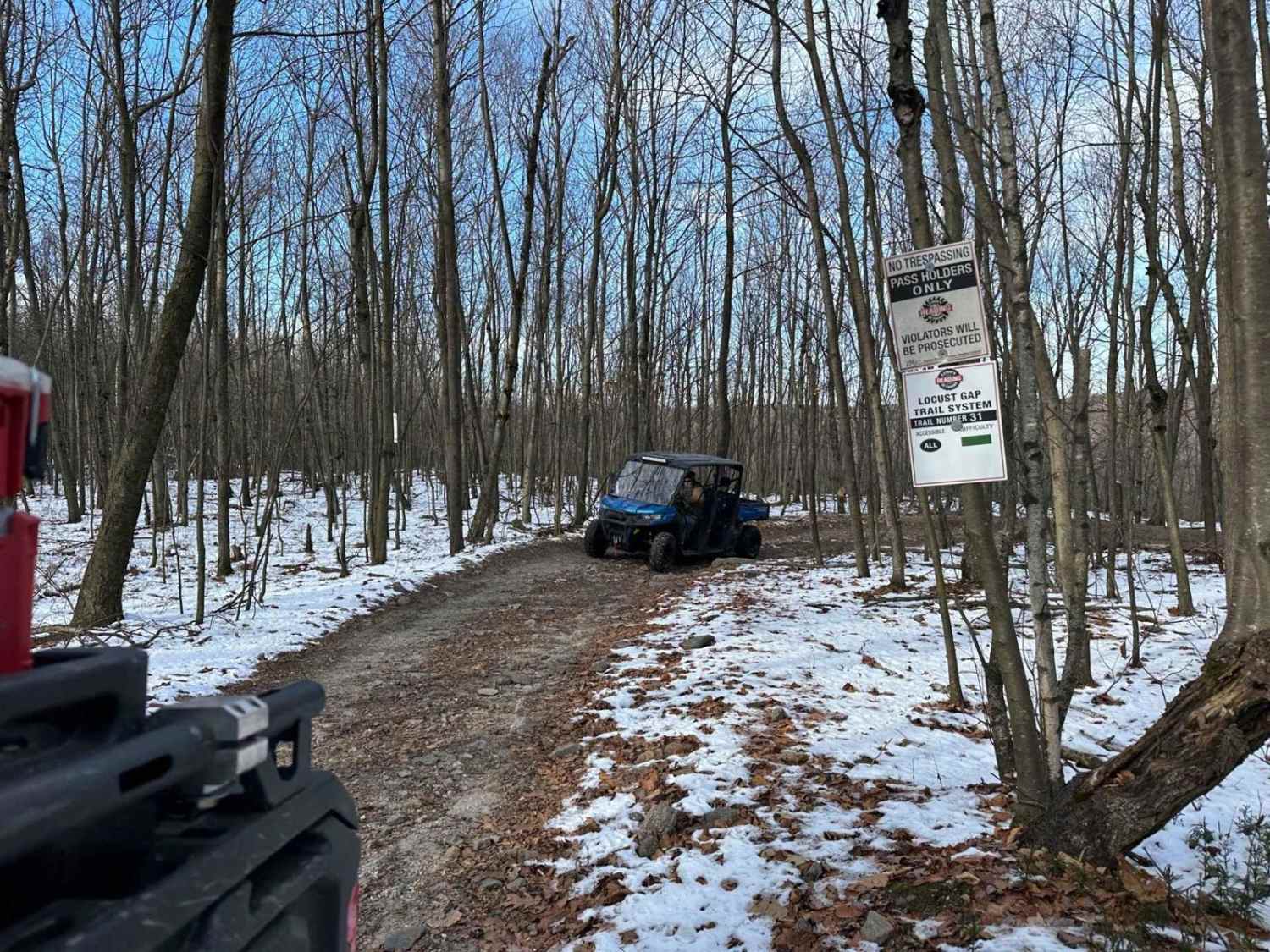
Locust Gap 31

Ashland 107
The onX Offroad Difference
onX Offroad combines trail photos, descriptions, difficulty ratings, width restrictions, seasonality, and more in a user-friendly interface. Available on all devices, with offline access and full compatibility with CarPlay and Android Auto. Discover what you’re missing today!