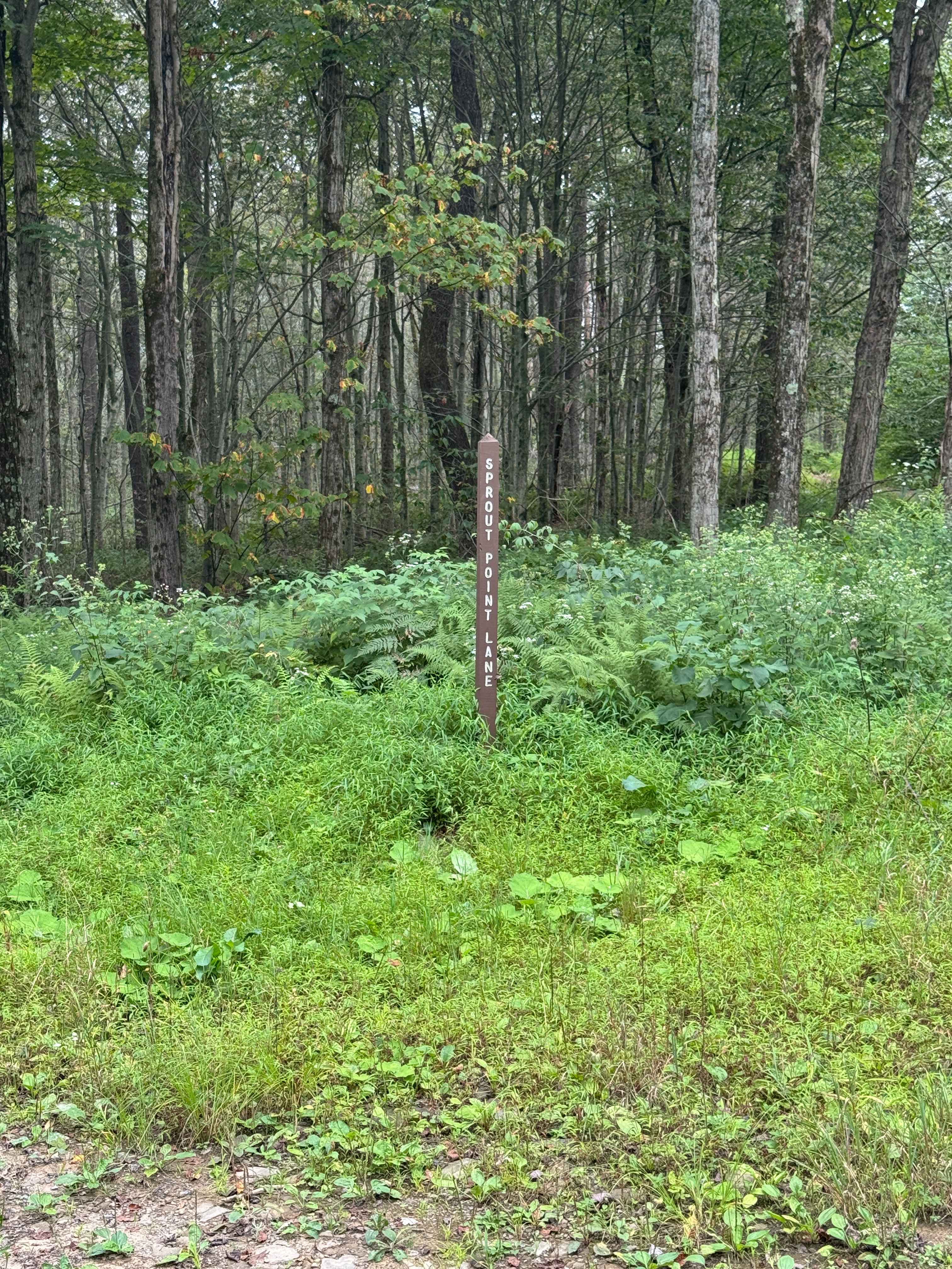
Sprout Point Road
Total Miles
1.1
Technical Rating
Best Time
Spring, Summer, Fall
Trail Type
Full-Width Road
Accessible By
Trail Overview
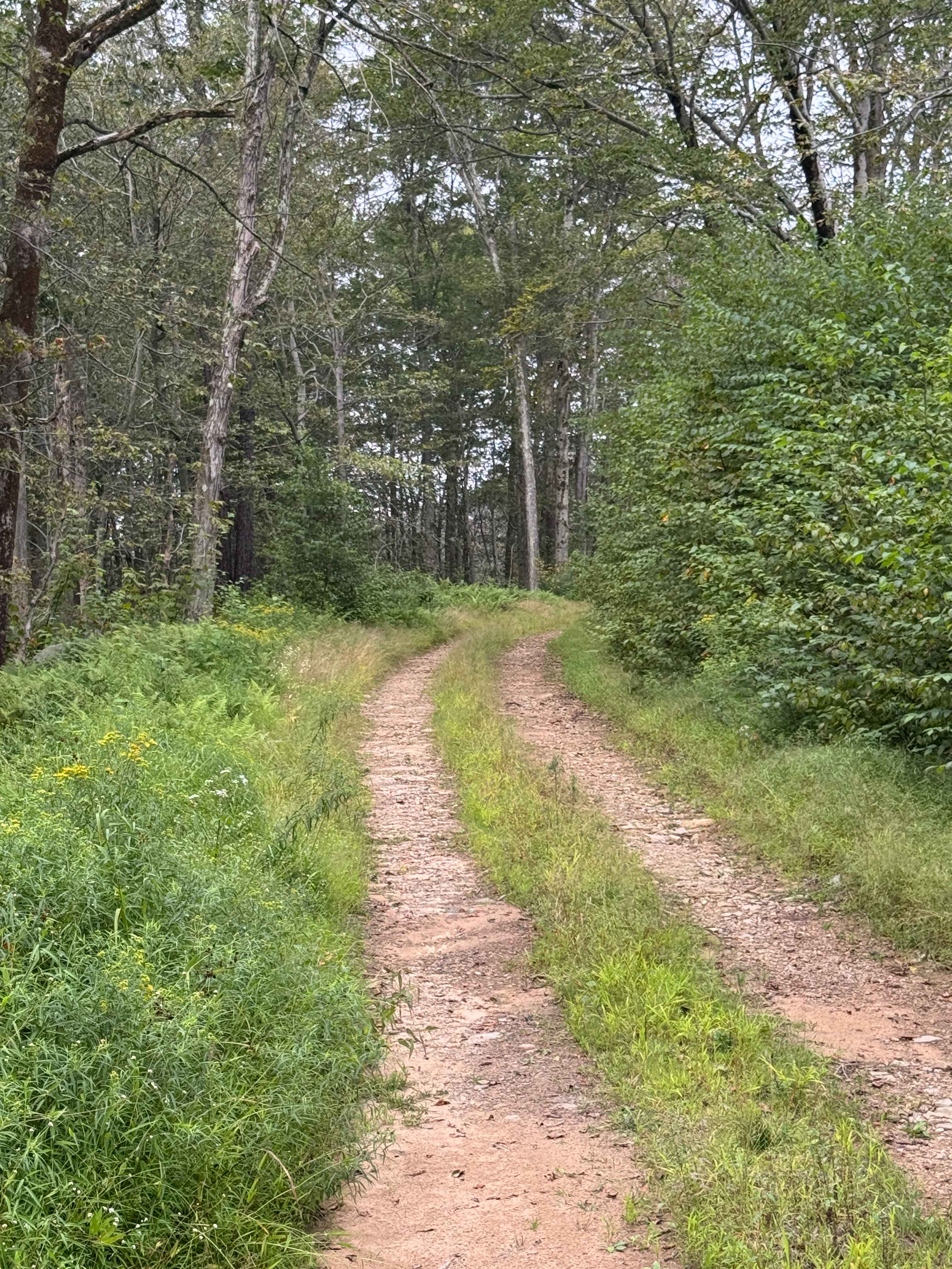
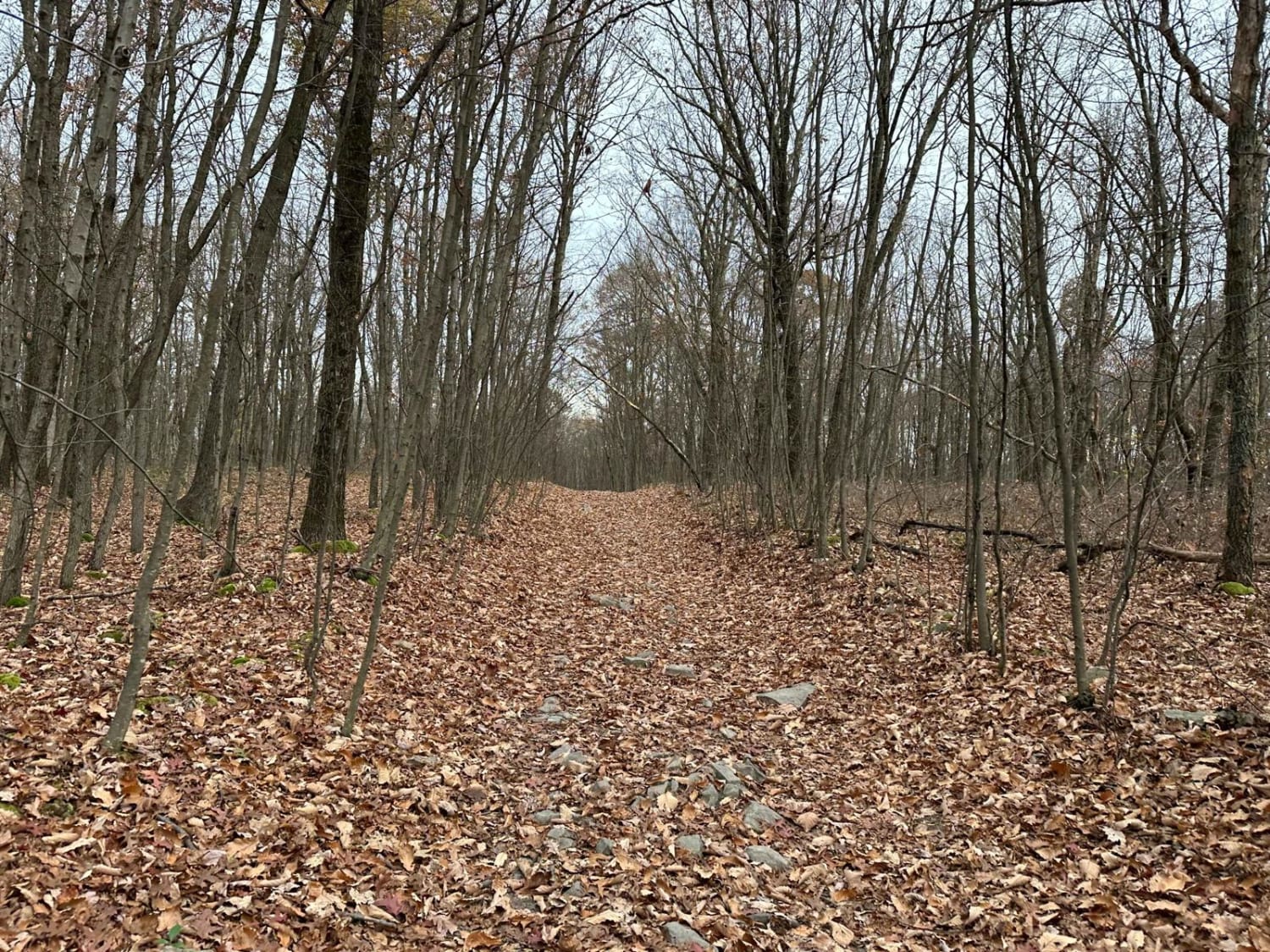
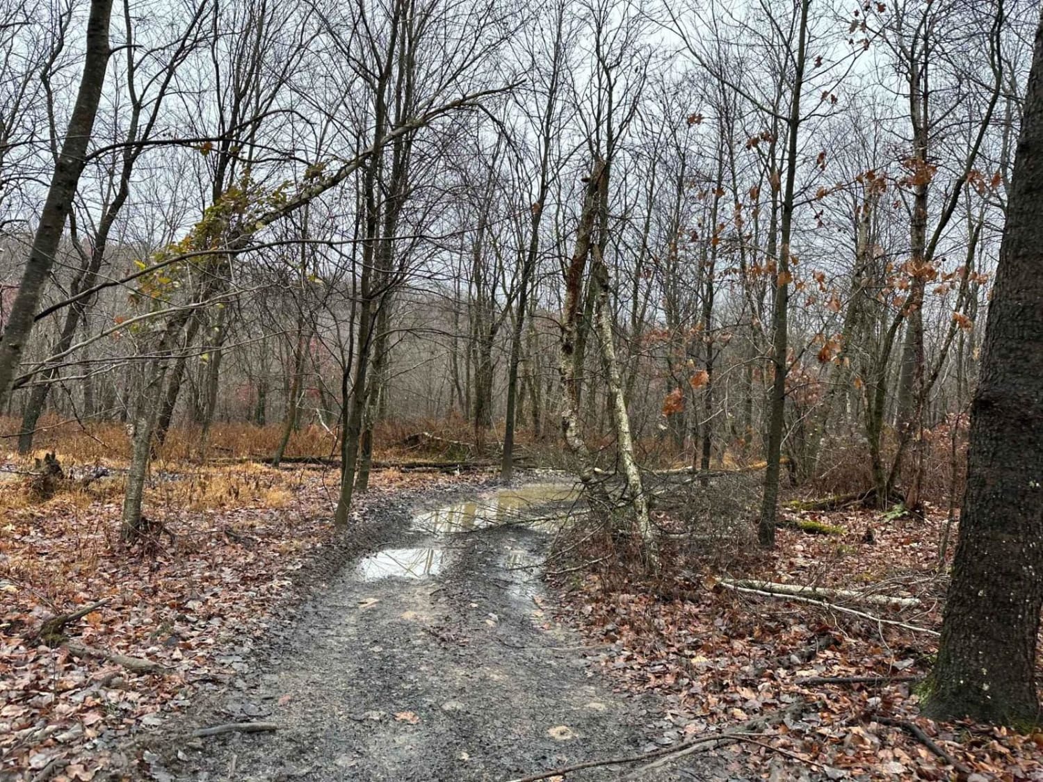
Sprout Point Road is primarily an ungraded dirt road. It is a dead-end road with a large area to turn around on the southern end. At the end of the road is the old Sprout Point Fire Tower. The tower is not accessible via vehicle. You can make an easy hike up the trail to see the location. It is an easy ride in the summer months for a 4x4 vehicle; however, there is no winter maintenance. During times of rain, snow, and ice, the road can become heavily rutted and extremely hard to travel on. Sprout Point Road is within Loyalsock State Forest. This region of Pennsylvania is a great place to explore during the fall when the leaves are changing color, and the full beauty of the State Forest is on display.
Photos of Sprout Point Road
Difficulty
Sprout Point Road is primarily an ungraded dirt road. It is a rutted and rocky ride in the summer months; however, there is no winter maintenance. During times of rain, snow, and ice, the road will become heavily rutted and harder to travel on. The trail has some tight sections with brush and trees. Potential paint pinstriping can be encountered.
History
Sprout Point Fire Tower is a historical fire lookout tower located in Loyalsock State Forest, Pennsylvania, which was built to replace an older tower in the same area and now serves as a site on the Former Fire Lookout Sites Register. The original tower near Masten was dismantled, and the new, larger tower was erected on the higher ground of Sprout Point.
Status Reports
Sprout Point Road can be accessed by the following ride types:
- High-Clearance 4x4
- SUV
Sprout Point Road Map
Popular Trails


Shoot the Moon Black
The onX Offroad Difference
onX Offroad combines trail photos, descriptions, difficulty ratings, width restrictions, seasonality, and more in a user-friendly interface. Available on all devices, with offline access and full compatibility with CarPlay and Android Auto. Discover what you’re missing today!