Shintown Run Road
Total Miles
4.4
Technical Rating
Best Time
Spring, Summer, Fall, Winter
Trail Type
Full-Width Road
Accessible By
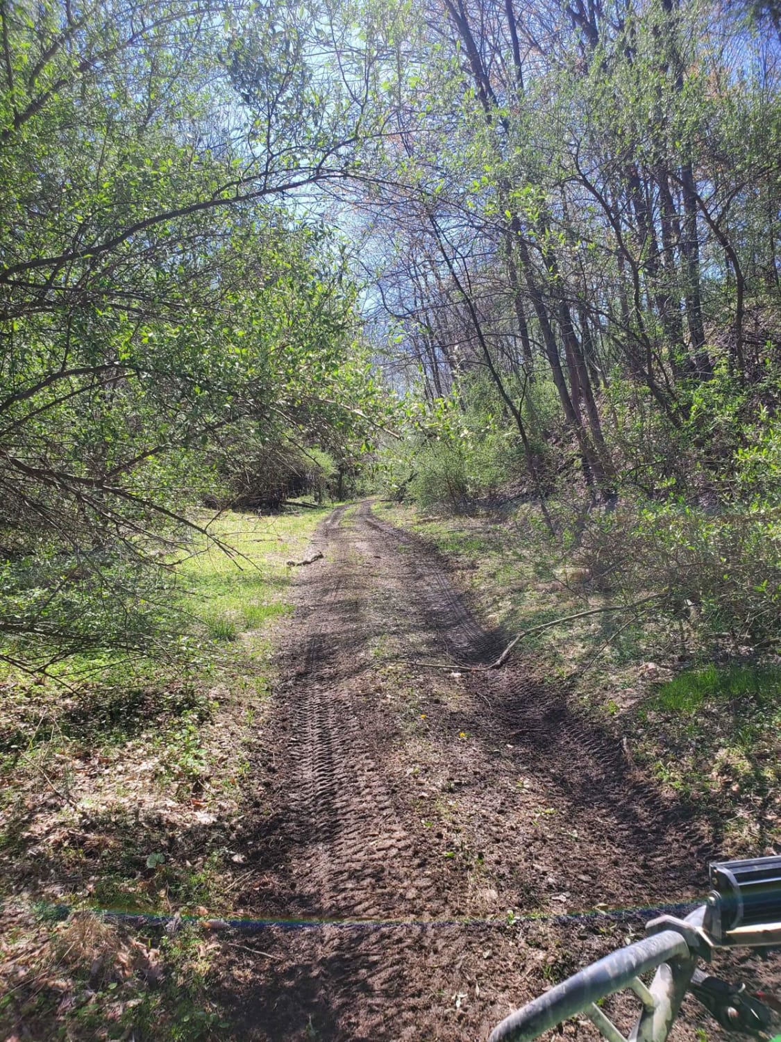
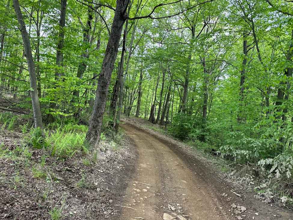
Trail Overview
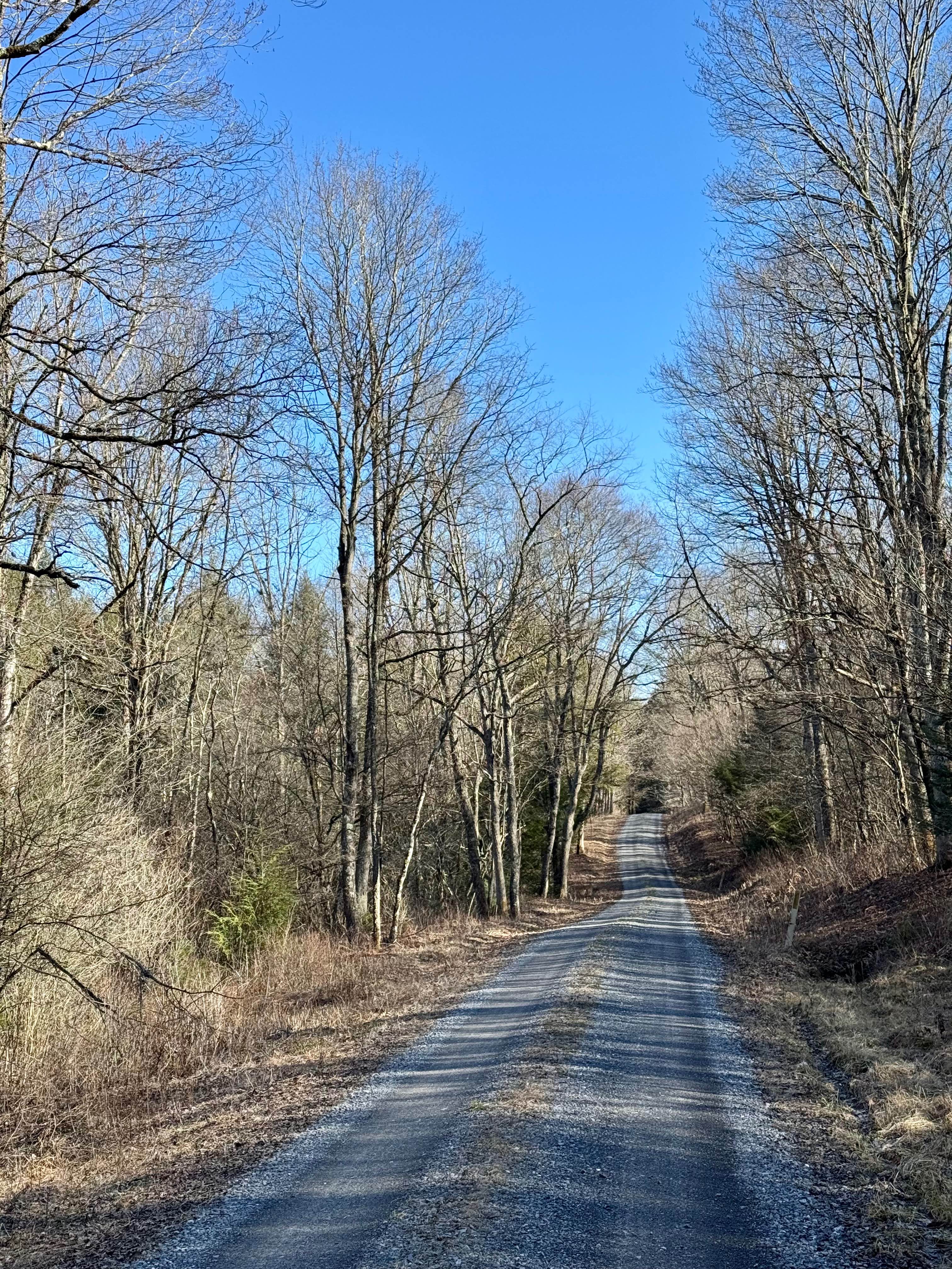
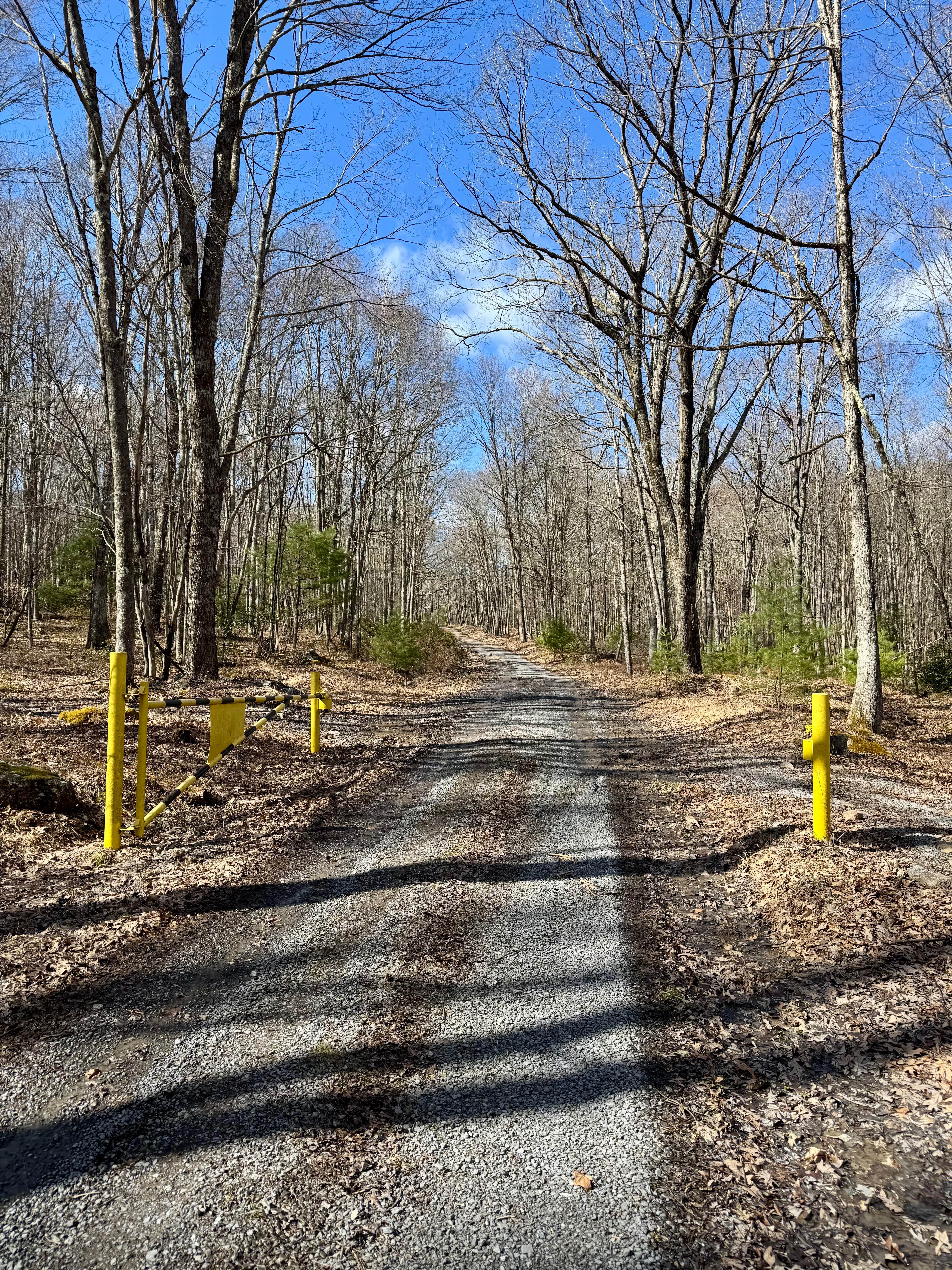
Shintown Road is a typical Pennsylvania forest road in Sproul State Forest. It ends at the north end with a gate. Past that gate, only permitted ATVs are allowed, even if the gate is open. This road provides access to a single dispersed motorized campsite that's shared with a small parking area for vehicles trailering their ATV to the Whisky Springs ATV trails in this area. As with all Pennsylvania state camping, it requires a reservation through Reserve America. It's probably best used only for ATV enthusiasts if it's during the May-September ATV season. Note that ATVs are not permitted on this guided trail. They are only permitted past the gate. The road follows the Shintown Run closely, and you can see and hear the water flowing. It's an easy, gravel road that offers some nice scenery. There are opportunities to extend your ride with a couple of crossing forest roads, and there are some hiking trails along the way as well. It crosses the forest cut for the Texas Eastern Pipeline. The roads along the cut are for utility company use only and are gated. Sproul is very remote, and cell service is spotty at best. Provisions are available in Cross Fork to the north or Renovo to the south. Neither is a very big town. Prepare appropriately. Note that in the winter, the southern part, up to Two Mile Road and Big Basin Road, is part of the Two Mile Run snowmobile trails as a joint-use trail. Be aware of that if you visit while snow is on the ground.
Photos of Shintown Run Road
Difficulty
Well-maintained gravel state forest road. Any street-legal vehicle should be able to access it during spring, summer, or fall.
Status Reports
Shintown Run Road can be accessed by the following ride types:
- High-Clearance 4x4
- SUV
Shintown Run Road Map
Popular Trails
Ashland 185
21 - BFR - Green - Easy
D Green D8 & D10
The onX Offroad Difference
onX Offroad combines trail photos, descriptions, difficulty ratings, width restrictions, seasonality, and more in a user-friendly interface. Available on all devices, with offline access and full compatibility with CarPlay and Android Auto. Discover what you’re missing today!