Play Pond Connector - Rock Run Recreation Area
Total Miles
0.3
Technical Rating
Best Time
Spring, Summer, Fall
Trail Type
Full-Width Road
Accessible By
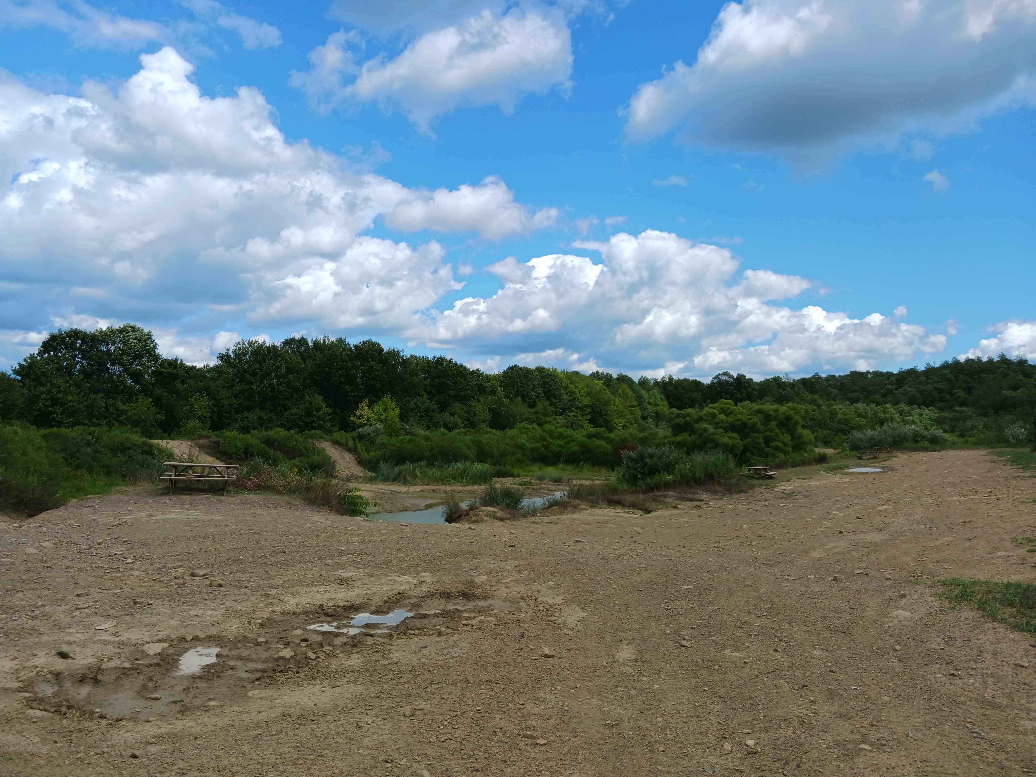
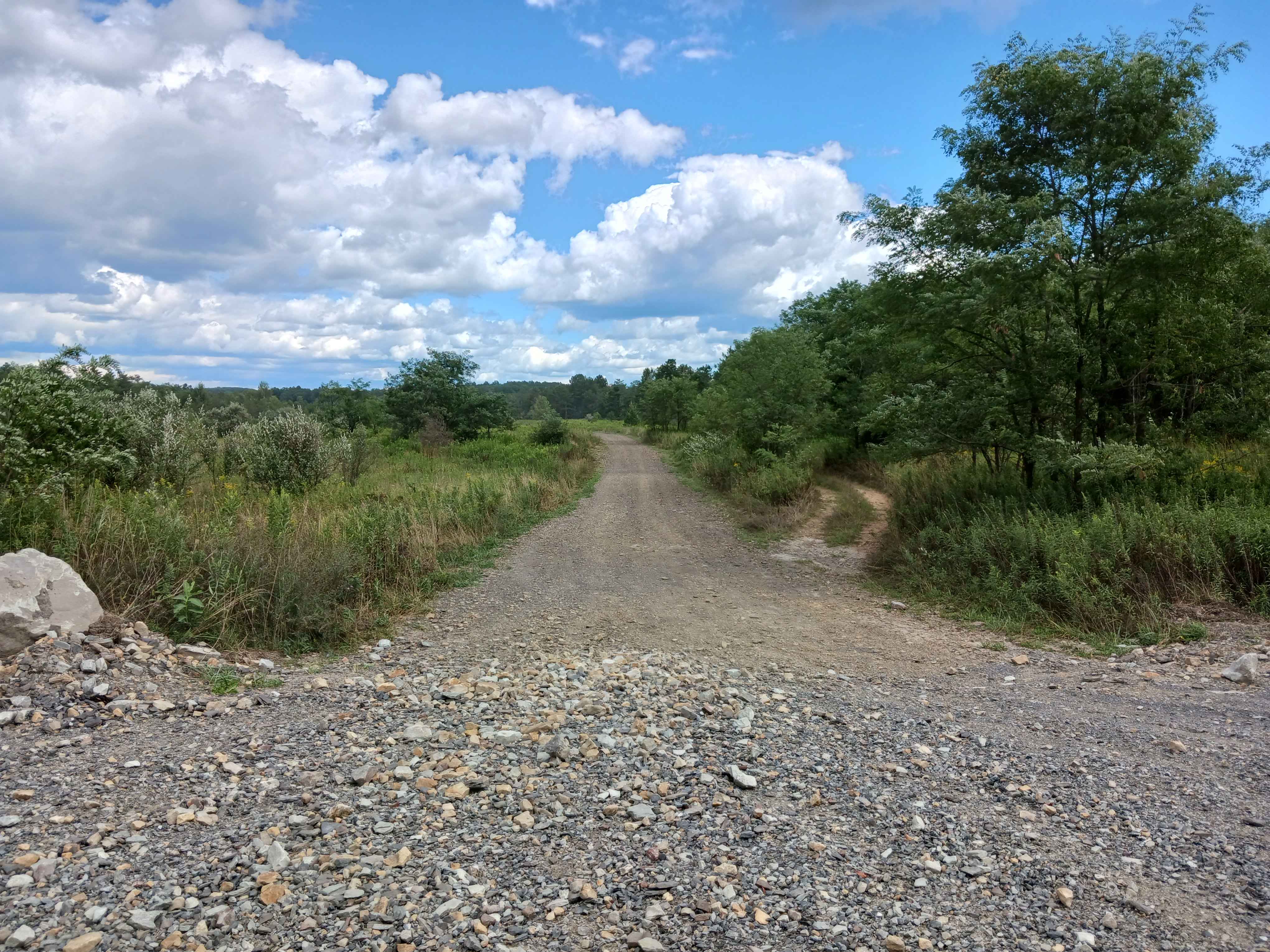
Trail Overview
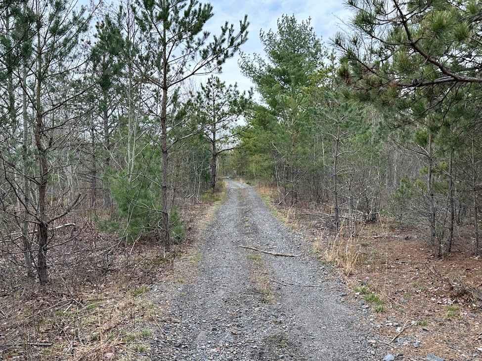
Play Pond Connector - A trail of Rock Run Recreation Area. Located on the Northern end of the facility, Play Pond Connector is the most direct route to the Play Pond. Just under 3/10ths of a mile, this trail is wider and relatively flat as it has had fill placed on it to get it out of the wet spots that were extensive in the past. Running parallel to the Play Pond Connector is the old trail in spots, and if mud is your thing, you can get it the whole way to the Play Pond in the wet season. You may still encounter some standing water, but overall, the trail is dry with both embedded and loose stones. It is wider for its entirety with ample room to pass others. This trail is open to all vehicle types. It is a two-way trail and offers a different experience riding it both directions. Trail driven and documented in August 2025.
Photos of Play Pond Connector - Rock Run Recreation Area
Difficulty
This is an easier dirt trail. You will encounter some obstacles under 12 inches, potential uneven terrain, and/or loose rocks. This trail is wider with room to pass.
Status Reports
Play Pond Connector - Rock Run Recreation Area can be accessed by the following ride types:
- High-Clearance 4x4
- SUV
- SxS (60")
- ATV (50")
- Dirt Bike
Play Pond Connector - Rock Run Recreation Area Map
Popular Trails
3 Square Hollow Road

St. Keirns 132
The onX Offroad Difference
onX Offroad combines trail photos, descriptions, difficulty ratings, width restrictions, seasonality, and more in a user-friendly interface. Available on all devices, with offline access and full compatibility with CarPlay and Android Auto. Discover what you’re missing today!