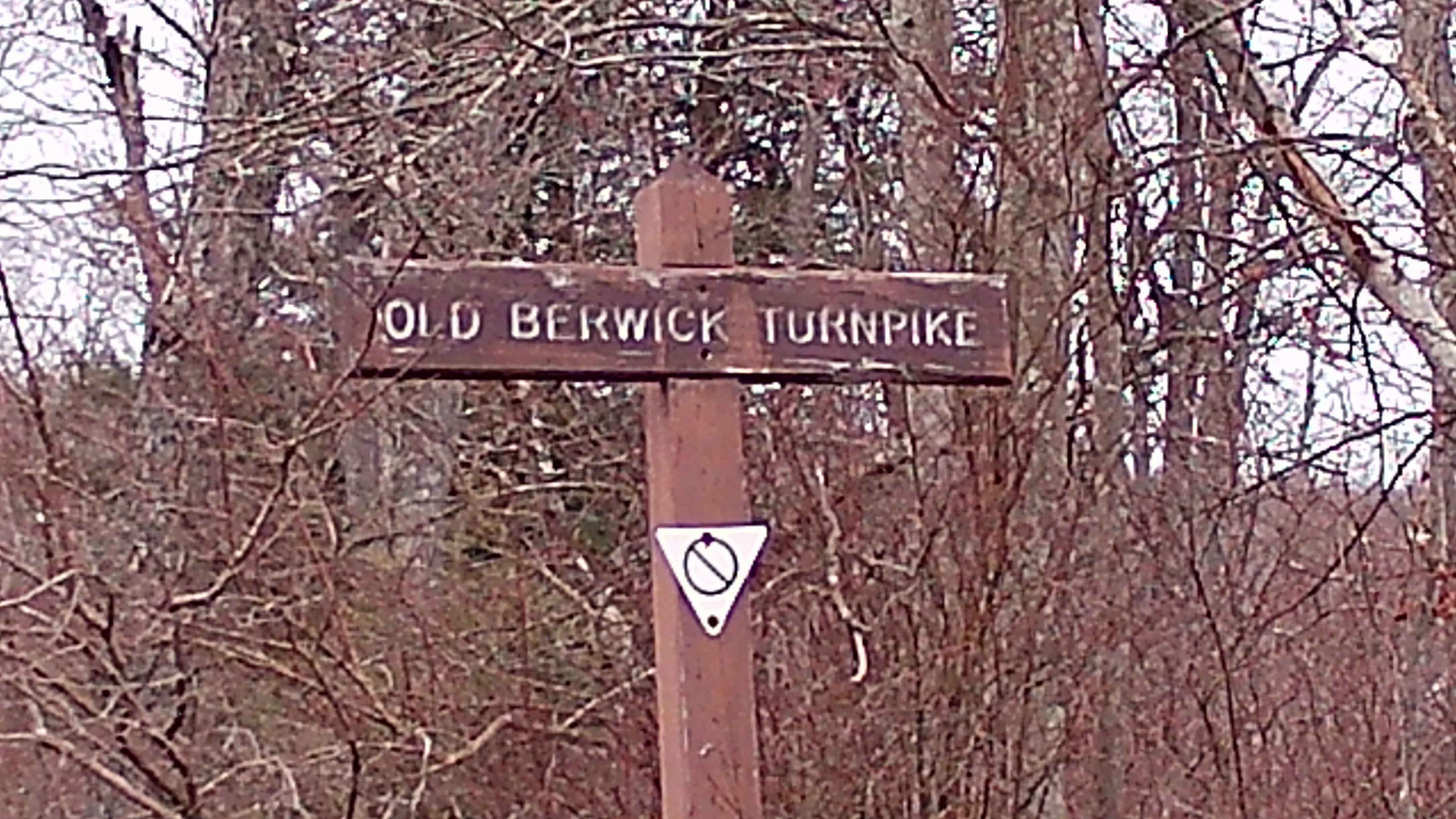
Old Berwick Turnpike
Total Miles
2.1
Technical Rating
Best Time
Spring, Summer, Fall
Trail Type
Full-Width Road
Accessible By
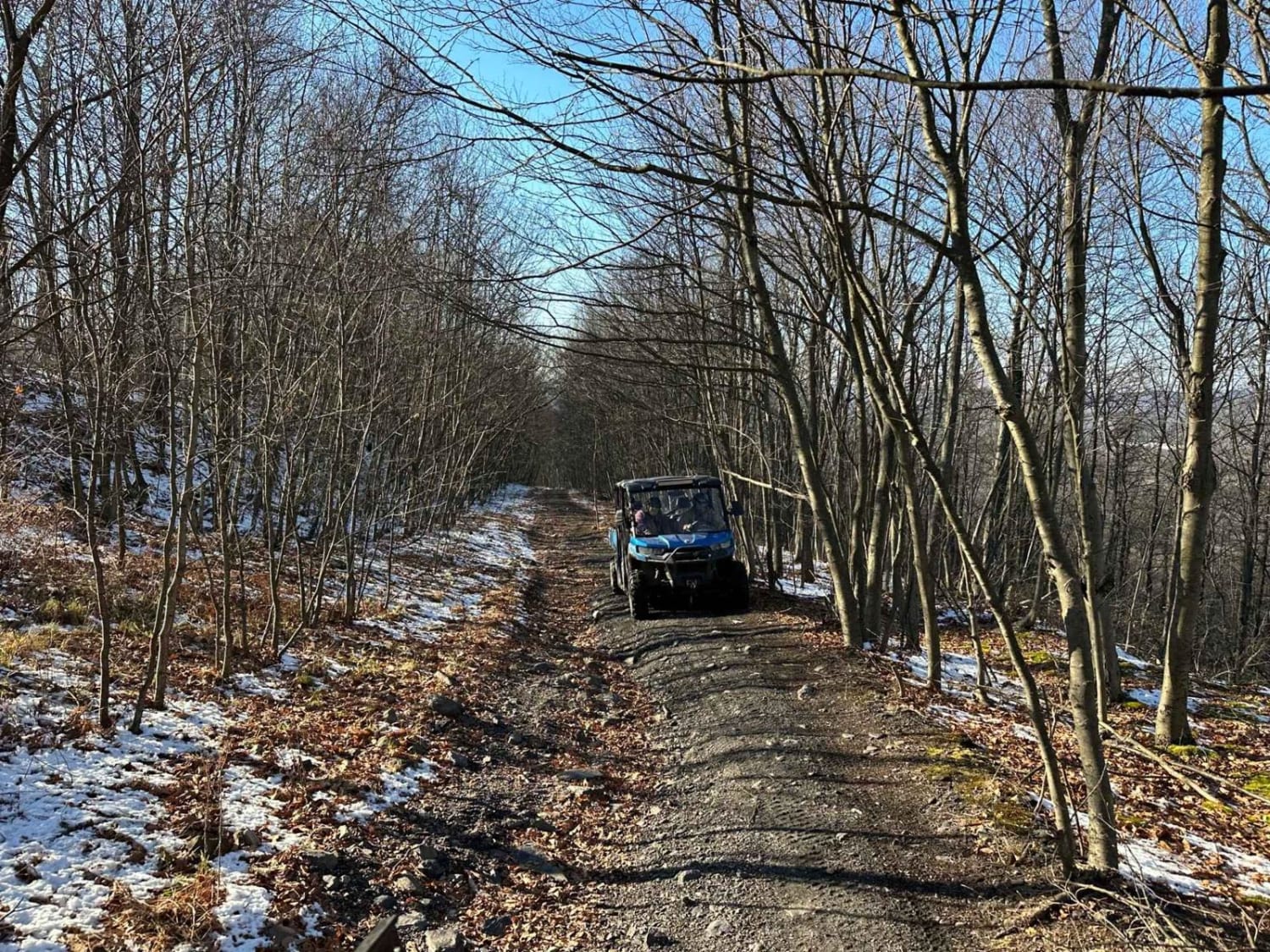
Trail Overview
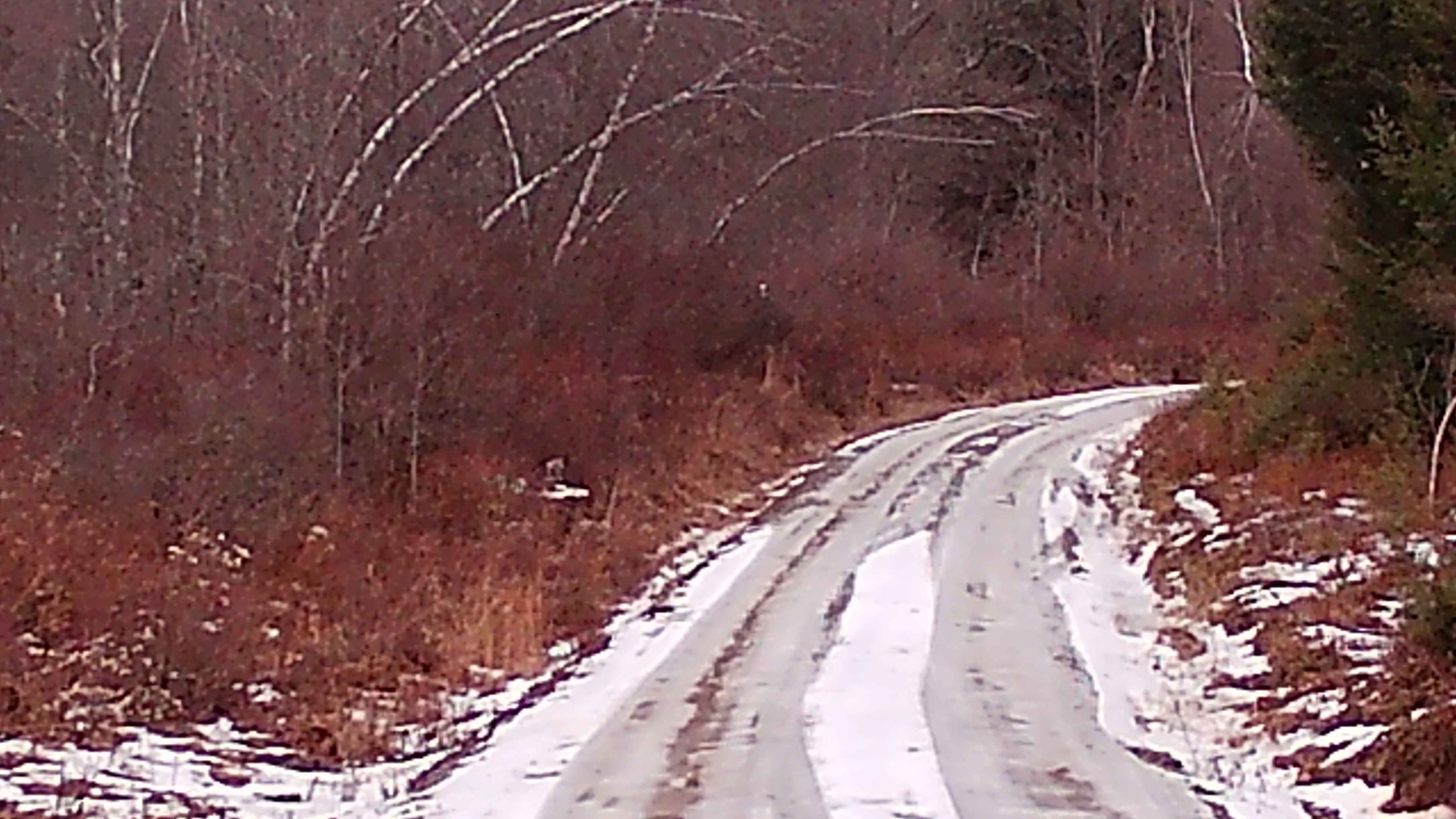
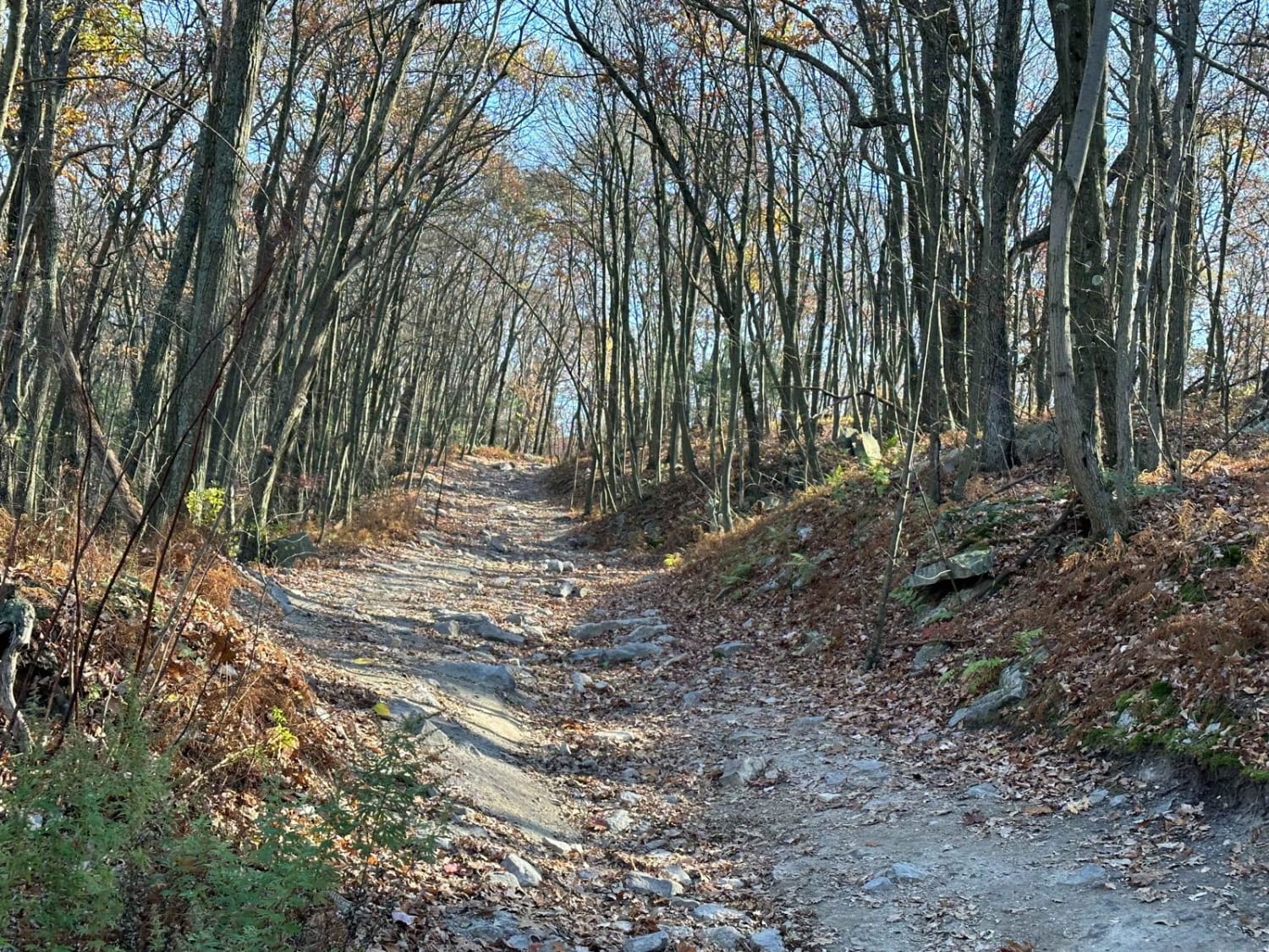
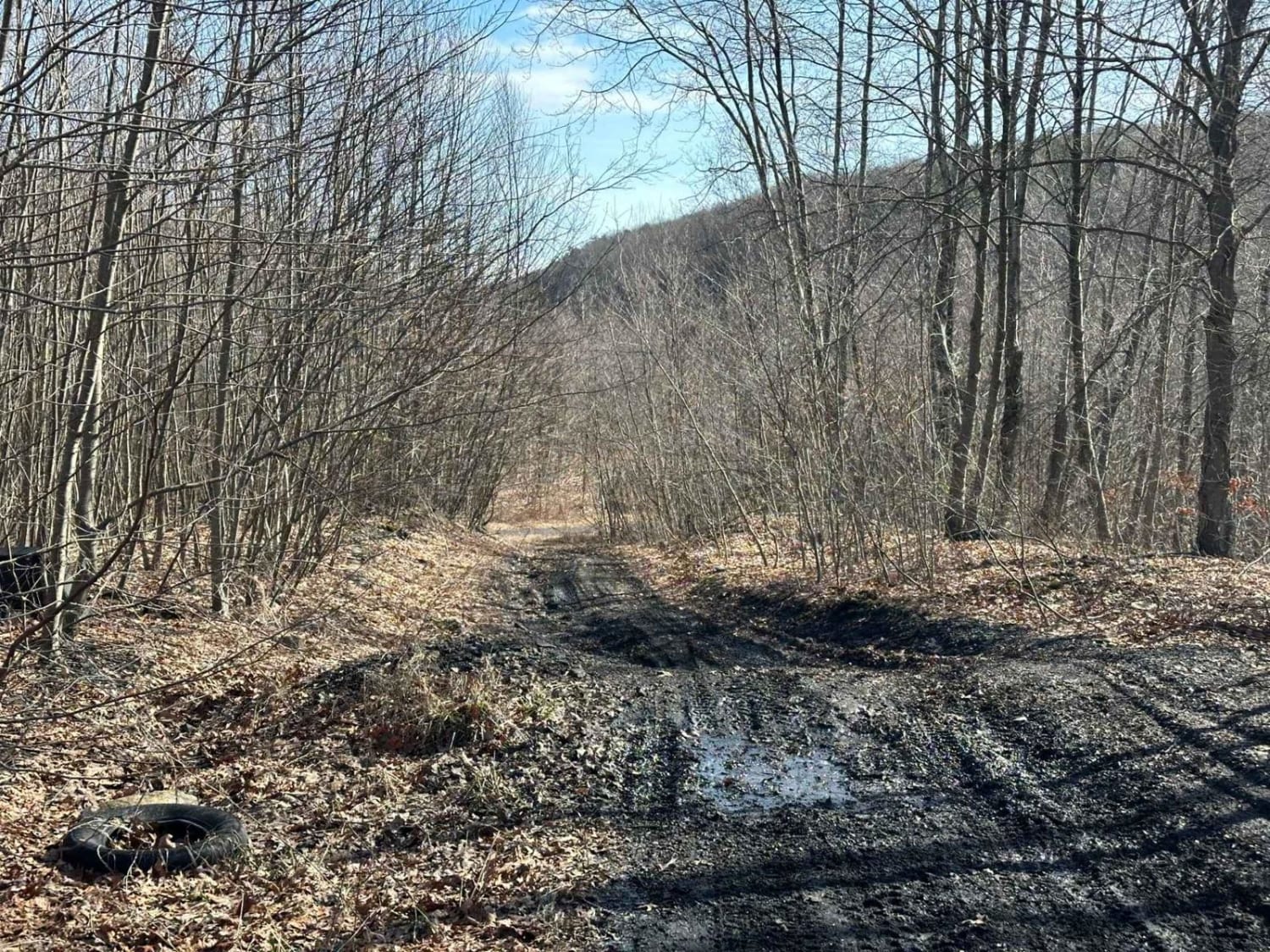
This trail is a convergence point with two other trails. It is a typical Graded Gravel road within the Loyalsock State Forest. It is an up-and-back trail that runs to a dead end. There are plenty of parking spaces and turnarounds. The trail is surrounded by big timber oak trees and tall pines, and plenty of wildlife.
Photos of Old Berwick Turnpike
Difficulty
This is an easily accessible trail during the summer months, but it can become more challenging to navigate in the winter months due to snow and ice.
History
The name of this trail comes from a historic toll road, the Susquehanna and Tioga Turnpike, built in the early 1800s to link Berwick and Elmira, New York, serving early commerce, with parts running near Loyalsock Creek and Lopez in Sullivan County. Known for its difficult terrain and sections eventually abandoned.
Status Reports
Old Berwick Turnpike can be accessed by the following ride types:
- High-Clearance 4x4
- SUV
Old Berwick Turnpike Map
Popular Trails
Locust Gap 38
Locust Gap 77

ATV Trail 76
The onX Offroad Difference
onX Offroad combines trail photos, descriptions, difficulty ratings, width restrictions, seasonality, and more in a user-friendly interface. Available on all devices, with offline access and full compatibility with CarPlay and Android Auto. Discover what you’re missing today!