N3 - South
Total Miles
0.9
Technical Rating
Best Time
Spring, Summer, Fall, Winter
Trail Type
Full-Width Road
Accessible By
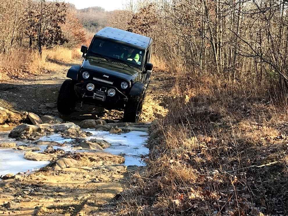
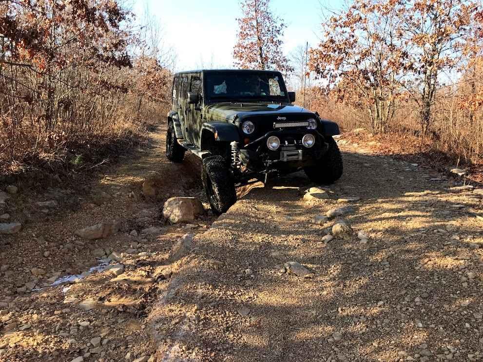
Trail Overview
This section of N3 follows an old roadway and railroad line, which has become rocky and washed out over the years. It consistently has water flowing on it and undergoes constant changes. While it can be navigated with a stock vehicle, careful driving is required. Some of the washouts can be quite deep, so drivers should proceed with caution.
Photos of N3 - South
Difficulty
This is a rocky and washed-out old road bed that crosses the northeast property.
Status Reports
N3 - South can be accessed by the following ride types:
- High-Clearance 4x4
- SUV
N3 - South Map
Popular Trails

Shootout Green

Ashland 112
The onX Offroad Difference
onX Offroad combines trail photos, descriptions, difficulty ratings, width restrictions, seasonality, and more in a user-friendly interface. Available on all devices, with offline access and full compatibility with CarPlay and Android Auto. Discover what you’re missing today!