Montrose Turnpike
Total Miles
3.3
Technical Rating
Best Time
Spring, Fall, Summer
Trail Type
Full-Width Road
Accessible By
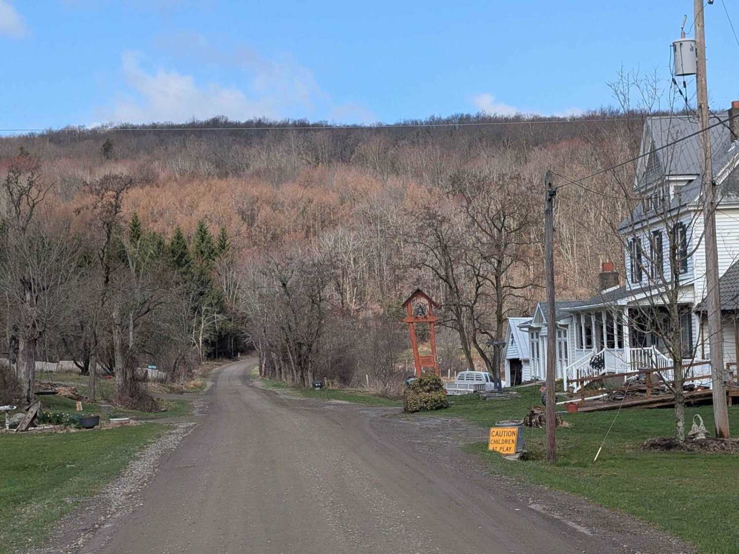
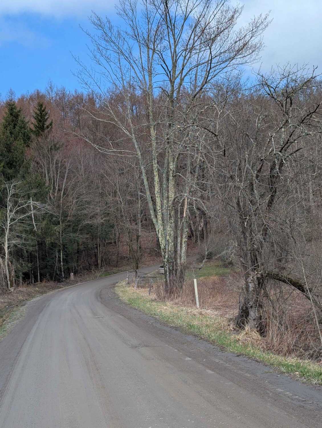
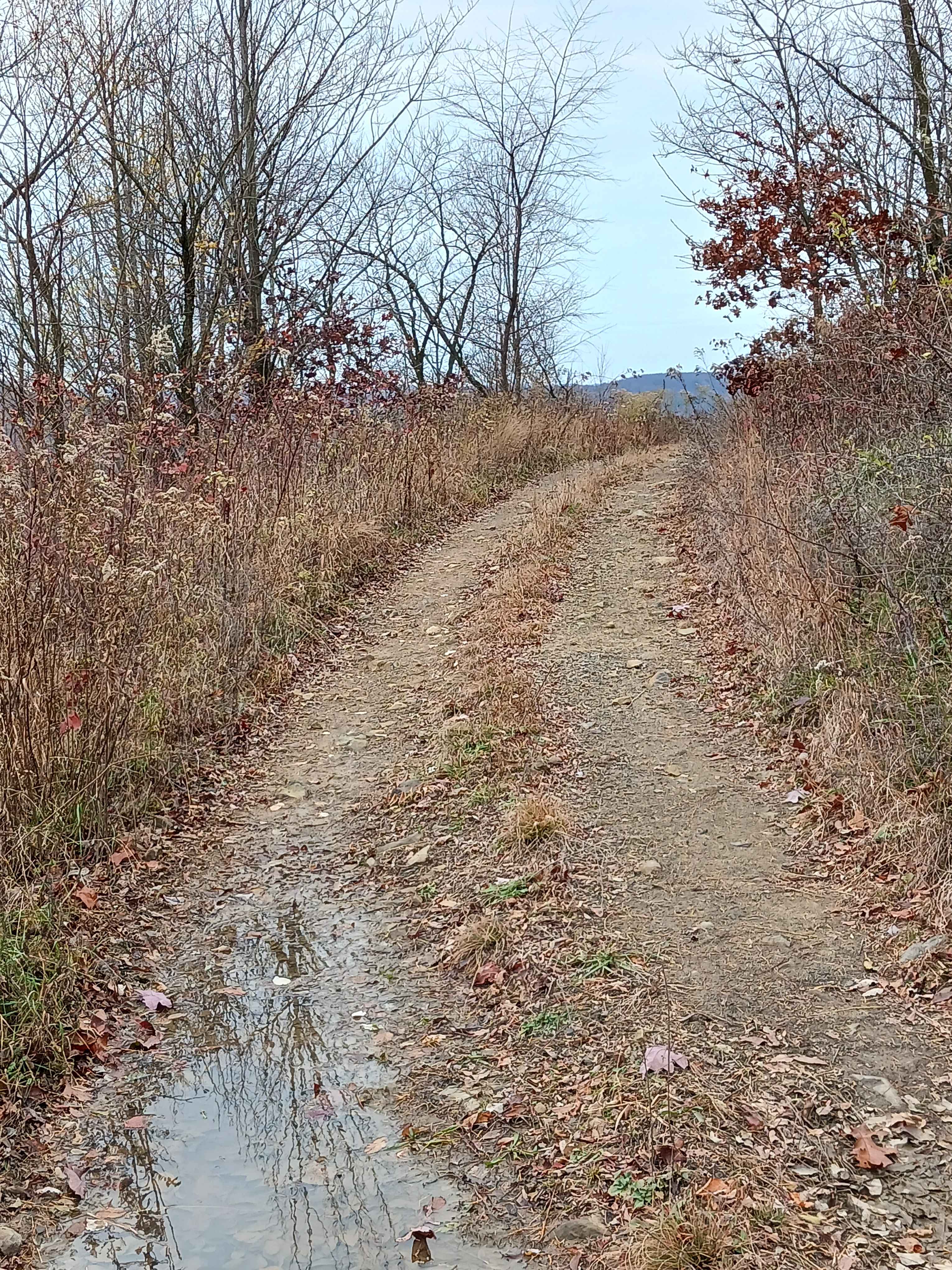
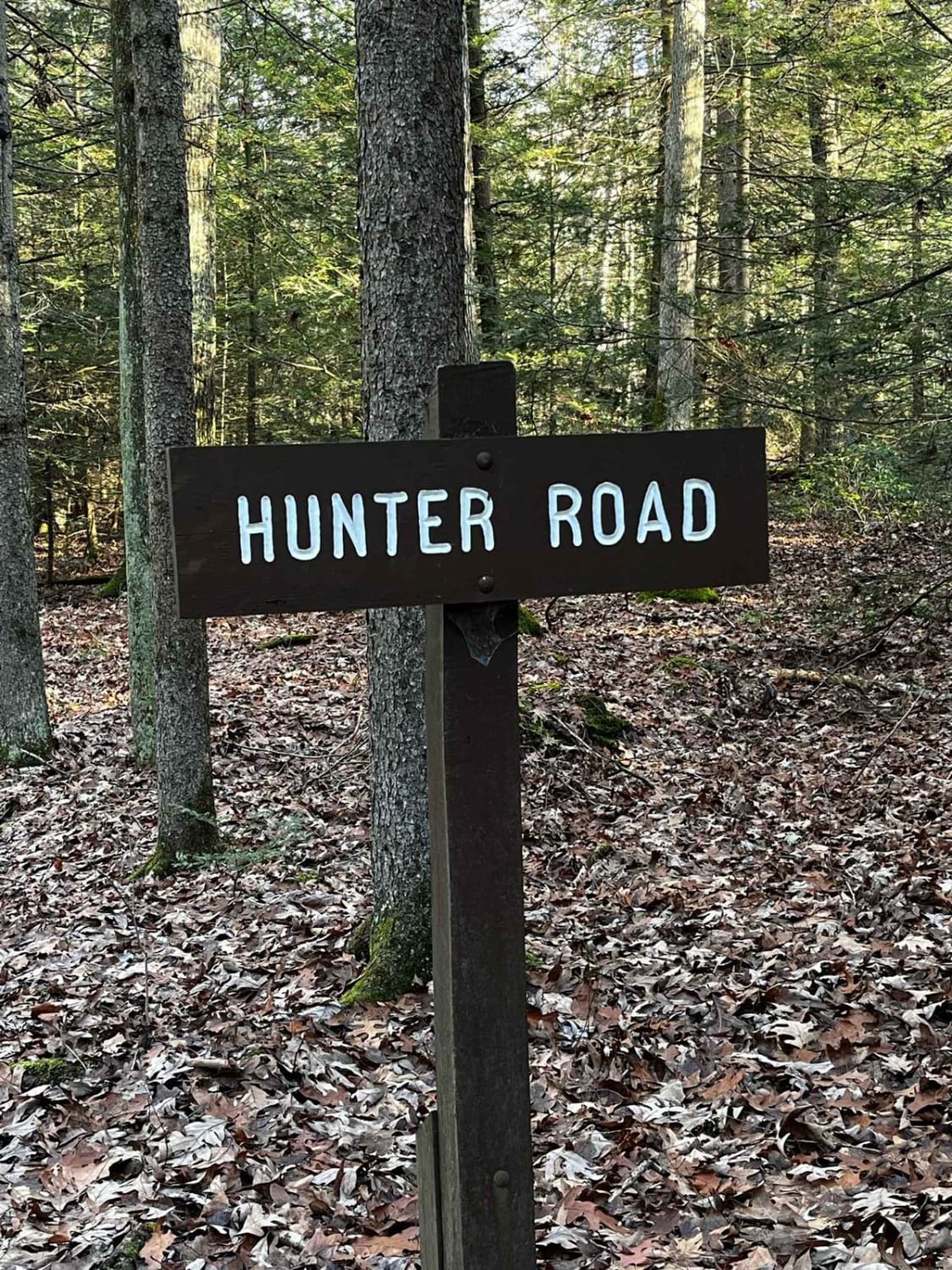
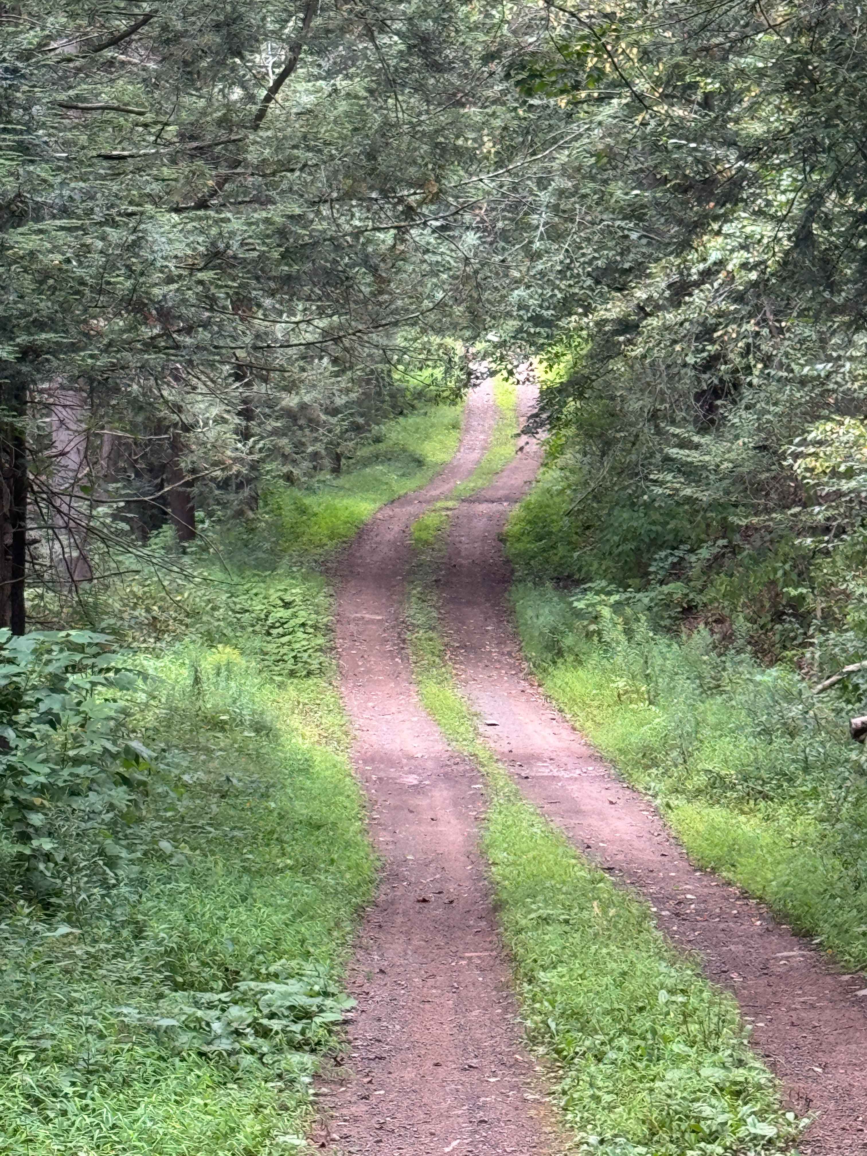
Trail Overview
This is a seasonal use road through Pennsylvania State Game Lands #219, also known as Montrose Turnpike. When crossing the state border, the road becomes much less maintained, with evidence of many downed trees along the way. The South to North direction will greet you with a wonderful view of mountains off in the distance. This road is exceptionally more difficult after fresh snow and is completely unmaintained. Take a moment to stop and visit to Coburn Cemetery while you're in the forest, a view into the past of a family plot dating back to the mid-eighteen hundreds.
Photos of Montrose Turnpike
Difficulty
This trail is not incredibly difficult when not in the winter months, but there is potential for downed trees or deep snow.
Status Reports
Montrose Turnpike can be accessed by the following ride types:
- High-Clearance 4x4
- SUV
Montrose Turnpike Map
Popular Trails
13C2 - Rock Run Recreation Area

St. Keirns 77
Four Mile Road
The onX Offroad Difference
onX Offroad combines trail photos, descriptions, difficulty ratings, width restrictions, seasonality, and more in a user-friendly interface. Available on all devices, with offline access and full compatibility with CarPlay and Android Auto. Discover what you’re missing today!