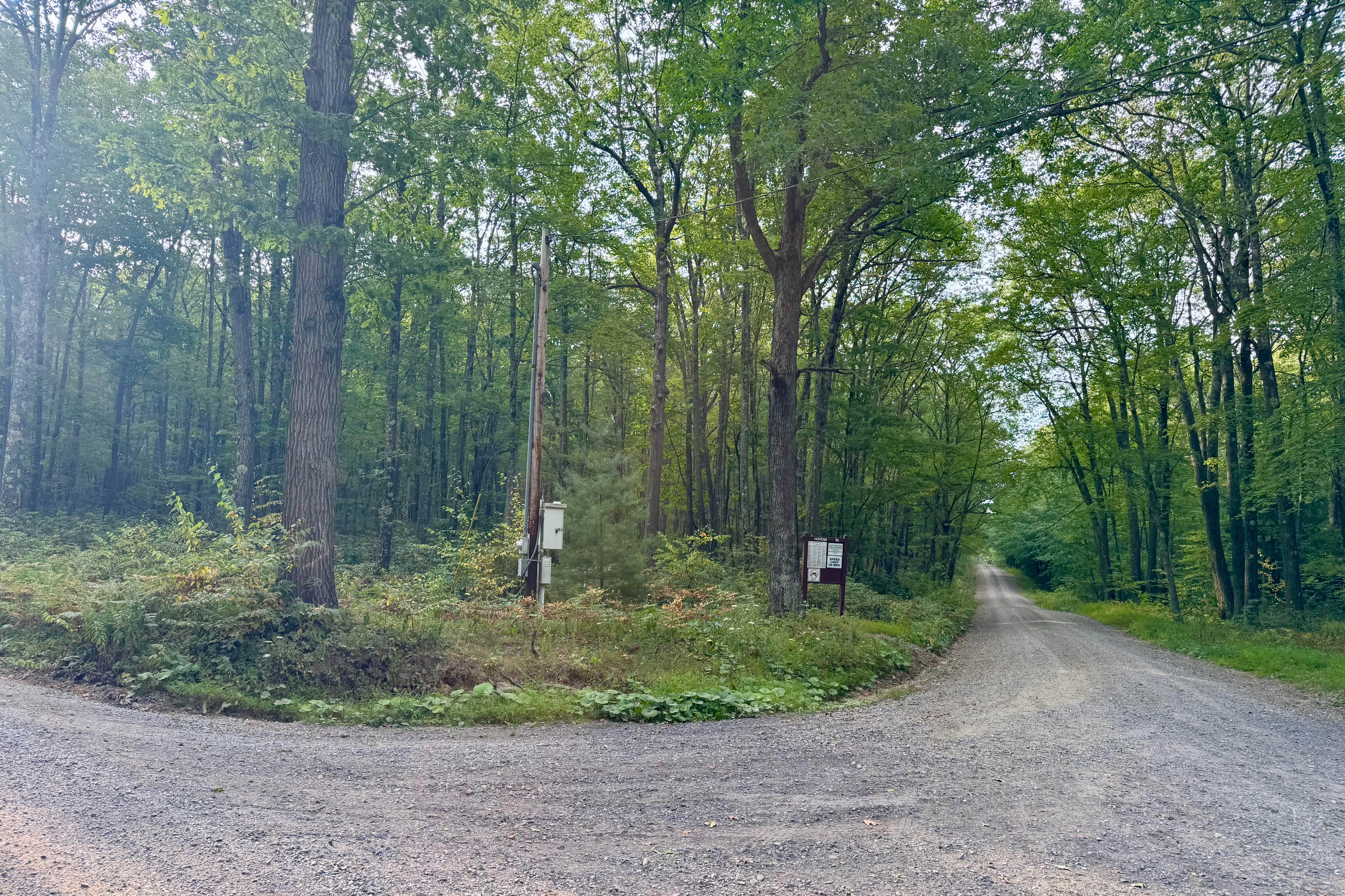
Montour Road
Total Miles
18.5
Technical Rating
Best Time
Spring, Summer, Fall
Trail Type
Full-Width Road
Accessible By
Trail Overview
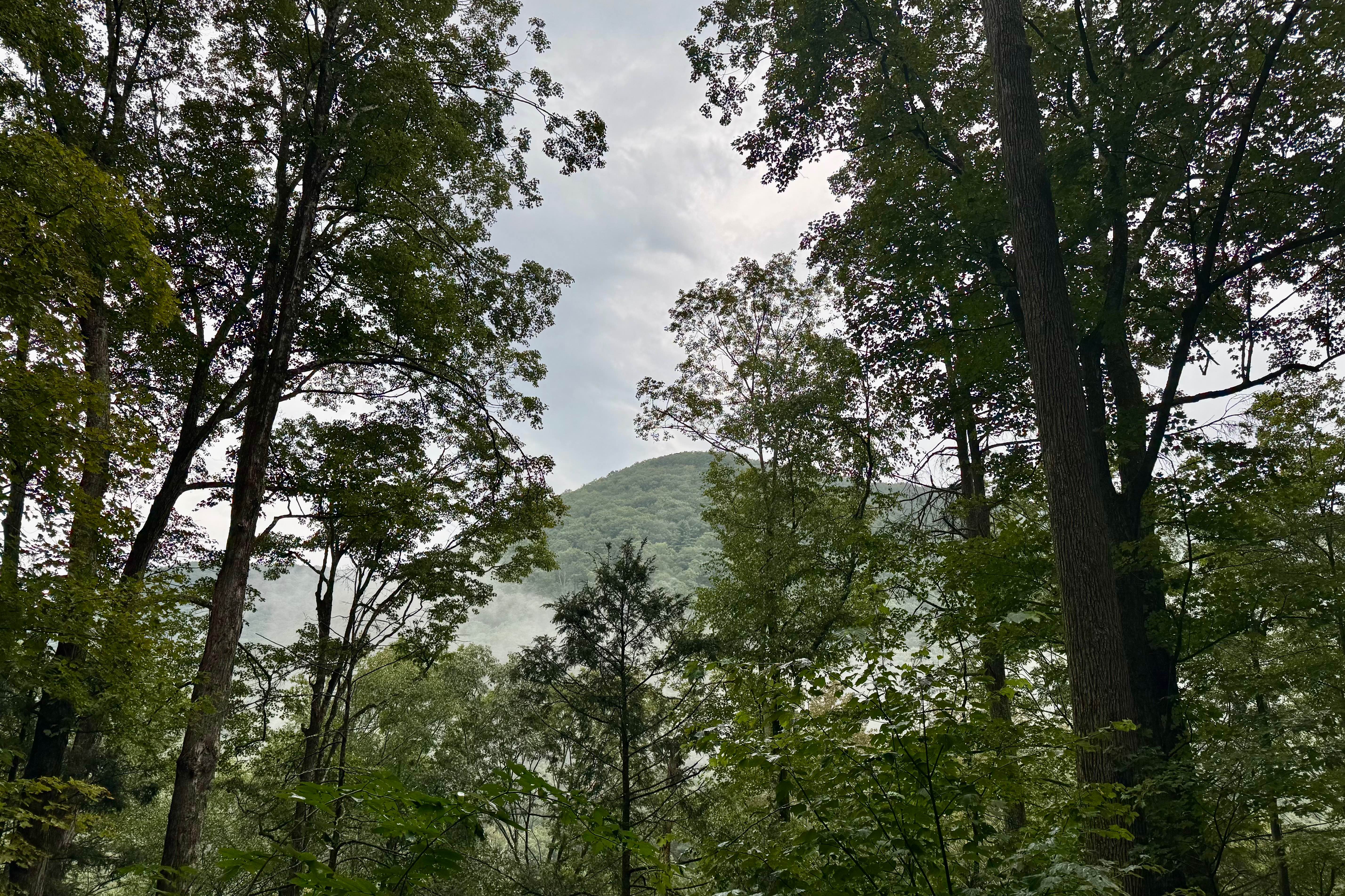
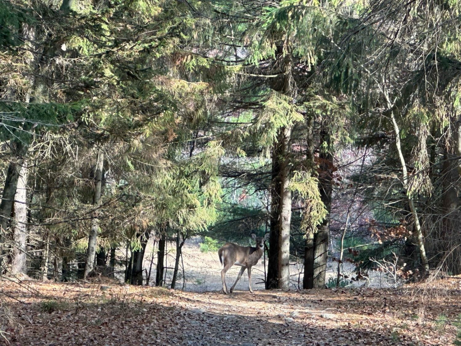
A long, scenic, and varied forest road through parts of Elk, Susquehannock, and Sproul State Forests. At almost 19 miles, it has a bit of everything, including some nice dispersed motorized camp sites (reservation required), a vista, and transitions from dense deciduous forest to clearings to dense coniferous forest. It generally follows a ridge, but at the south end drops down to 770 feet above sea level from a peak of almost 2300 feet. It's a very enjoyable drive and also features easy access to Kettle Creek State Park. This is a beautiful, remote part of the state. Expect to see deer, wild turkey, and grouse. The vista at the north end has a pullout that is not particularly well-maintained. The PA DCNR map shows a vista at the south end, but the trees haven't been cut back recently (August 2025), such that it's a worthwhile view. This may be on purpose, as it's not a great place to stop. Take your time and immerse yourself in the forests you'll pass through. Be prepared for no services at either end or along the duration of the track. You will want to be self-sufficient! Having enough gas is key, and water/food make sense as well, as this road will take over two hours by itself. The south trailhead is the only connection to paved, non-forest roads along its length. A detour to Kettle Creek State Park and the office there via Beaverdam Road, to the north, or Sugar Camp Road, near the midpoint, is your best solution to any emergencies if you don't have a satellite communicator or similar service on your phone (coverage varies widely amongst carriers here, so check the coverage layer for yours).
Photos of Montour Road
Difficulty
This is a typical Pennsylvania forest road that is generally passable by all street-legal vehicles.
History
Sproul State Forest was developed as Pennsylvania's largest state forest through land purchases begun in 1898, following similar patterns of depletion and conservation. Montour Road's history is intertwined with the region's industrial heritage, where logging and iron production required access routes through rugged, remote terrain. These roads were essential not only for resource extraction but also for the early state foresters and CCC crews tasked with fire protection, reforestation, and road construction. Today, Montour Road serves as a reminder of this legacy and provides vital access for outdoor recreation in a notably wild area.
Status Reports
Montour Road can be accessed by the following ride types:
- High-Clearance 4x4
- SUV
Montour Road Map
Popular Trails
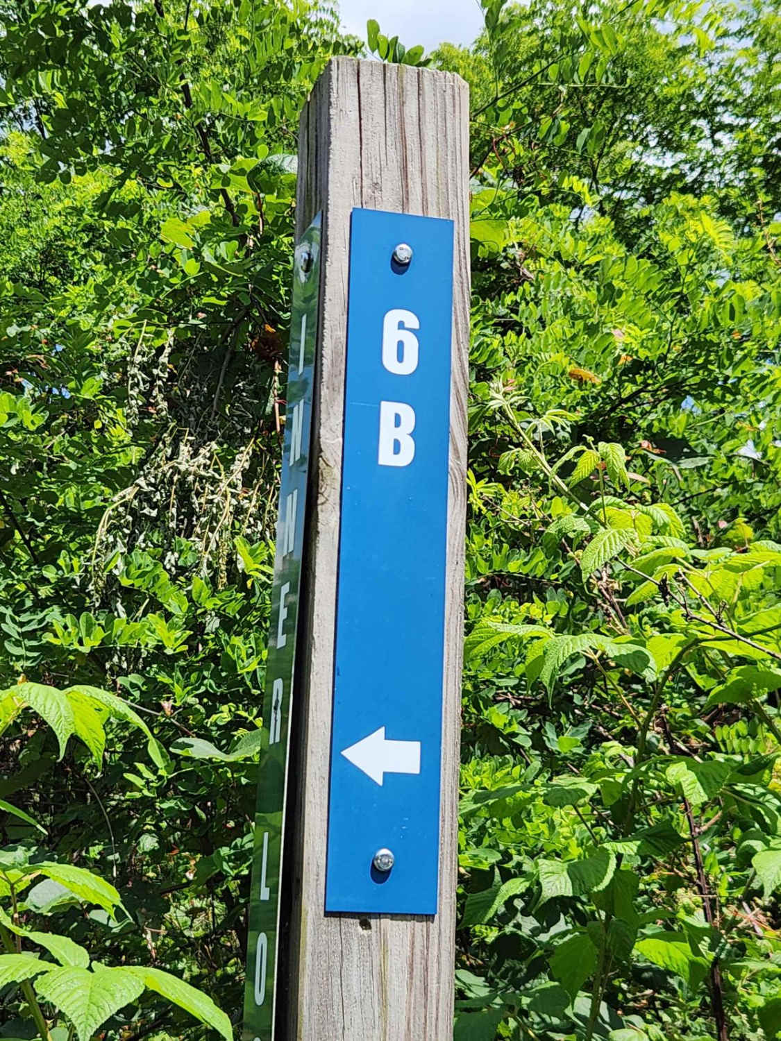
Trail 6B - Rock Run Recreation Area

Ashland 135
The onX Offroad Difference
onX Offroad combines trail photos, descriptions, difficulty ratings, width restrictions, seasonality, and more in a user-friendly interface. Available on all devices, with offline access and full compatibility with CarPlay and Android Auto. Discover what you’re missing today!