Mix Run Road
Total Miles
2.9
Technical Rating
Best Time
Spring, Summer, Fall
Trail Type
Full-Width Road
Accessible By
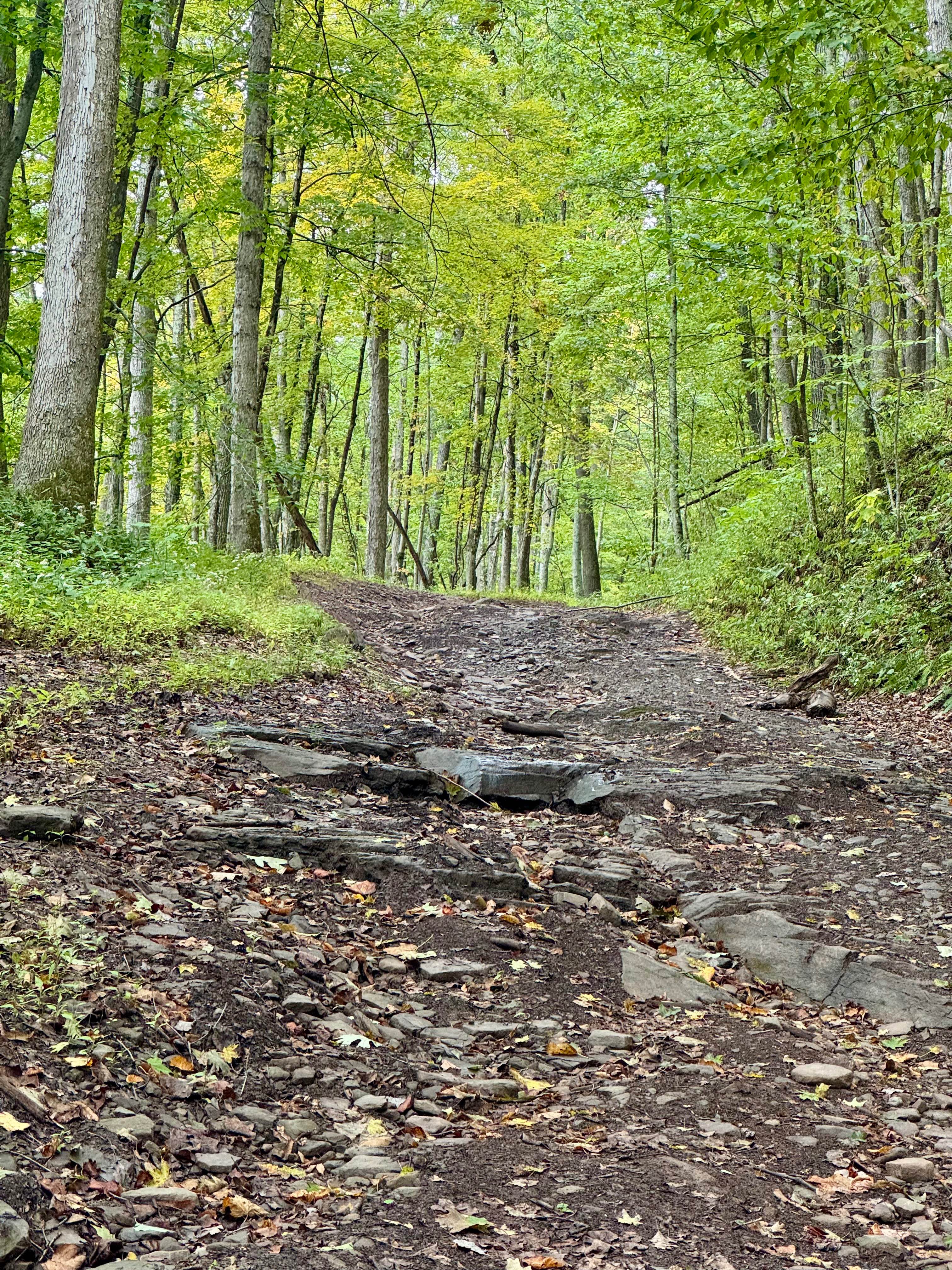
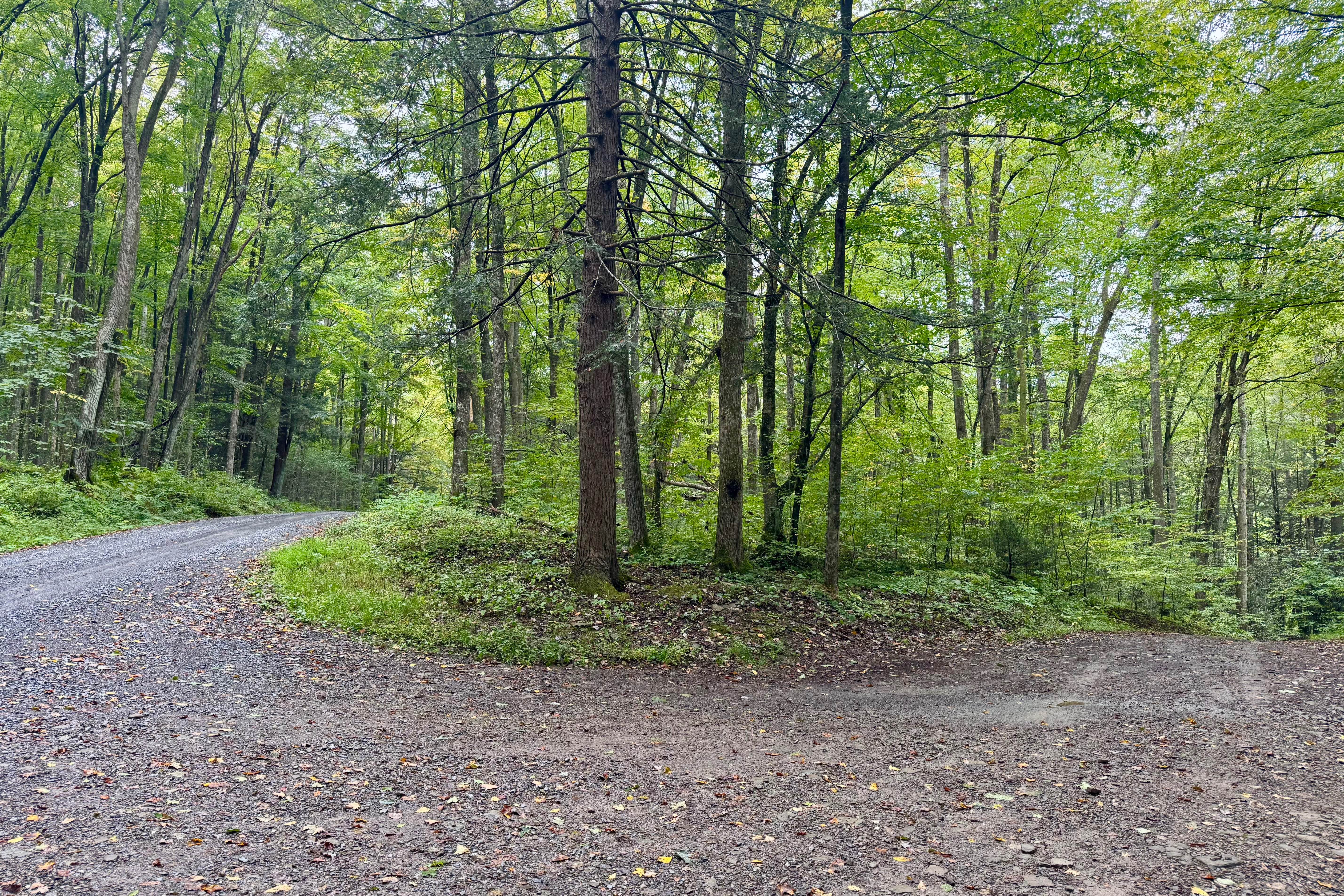
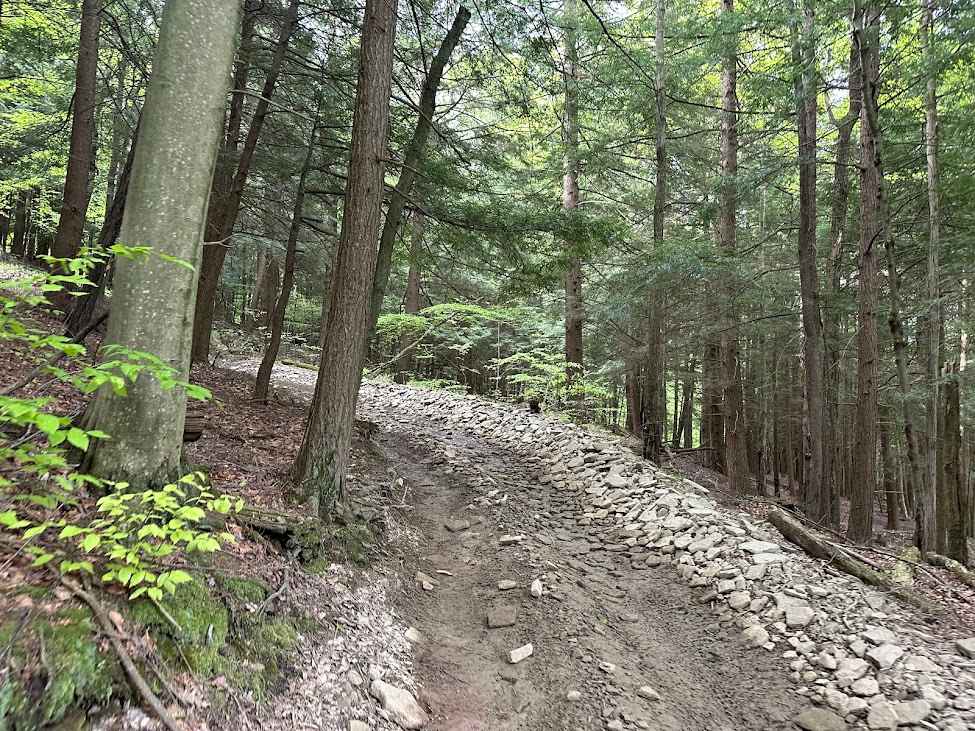
Trail Overview
This is a rugged, narrow and rocky out and back trail in the northwest part of the Quehanna Wild Area. This is not a standard forest service road and it will require high clearance and can require 4WD. The road has no sign and as it goes downhill from Red Run Road the vegetation closes in, almost making it seem as if it goes no further. The driver will immediately encounter a rocky water crossing through Mix Run, that this trail follows. The depth should be under 12 inches barring major rainfall or snow melt. This is immediately followed by a rocky uphill climb with some rock shelfs under 12 inches. The remaining trail is no more difficult, but it is only a single vehicle wide for almost the entire length and can be muddy as it passes through this remote part of the forest. This is one of a handful of state forest roads that should be aired down for, to avoid a potential puncture. There are two hunting camps/cabins near the end and another smaller water crossing beyond the first. There is a gate near the second and if it is closed or you have a full-size rig, you should turn around there. At this second cabin, there is also an intersection straight ahead. This leads onto the same tract of private property at the end and should be avoided. If the aforementioned gate on this trail is open, there is a small amount of space that a mid-sized rig can turn around in near the private property boundary at a two track that runs downhill to the left. The yellow sign on a metal post to the right that is no longer legible is your indication that you're at this point. Be respectful of the private property at the end of the guided trail and turn around even though the trail appears to continue. There is no public access or right of way to this private land. It's about 30 minutes out and 30 minutes back, so this can make for an interesting diversion as long as you are prepared and willing to back up a fair distance if you encounter another vehicle. Do not be surprised to see dual-sport motorcycle on this trail.
Photos of Mix Run Road
Difficulty
Rocky with some mud holes that should have hard bottoms. Two stream crossings that can vary in depth depending on the amount of rain in the season. Should generally be manageable by stock 4x4 vehicles that don't care about potential pinstripes. Narrow with limited places to pass or turn around. Full-size pickups and large SUV may have difficulty turning around when the trail ends at private land.
History
Mix Run, that the trail follows, is notable as the birthplace of Tom Mix, the famous silent film cowboy, adding a unique pop culture connection to the area.
Status Reports
Mix Run Road can be accessed by the following ride types:
- High-Clearance 4x4
- SUV
Mix Run Road Map
Popular Trails
B Black and Blue

Black Climbs West
The onX Offroad Difference
onX Offroad combines trail photos, descriptions, difficulty ratings, width restrictions, seasonality, and more in a user-friendly interface. Available on all devices, with offline access and full compatibility with CarPlay and Android Auto. Discover what you’re missing today!