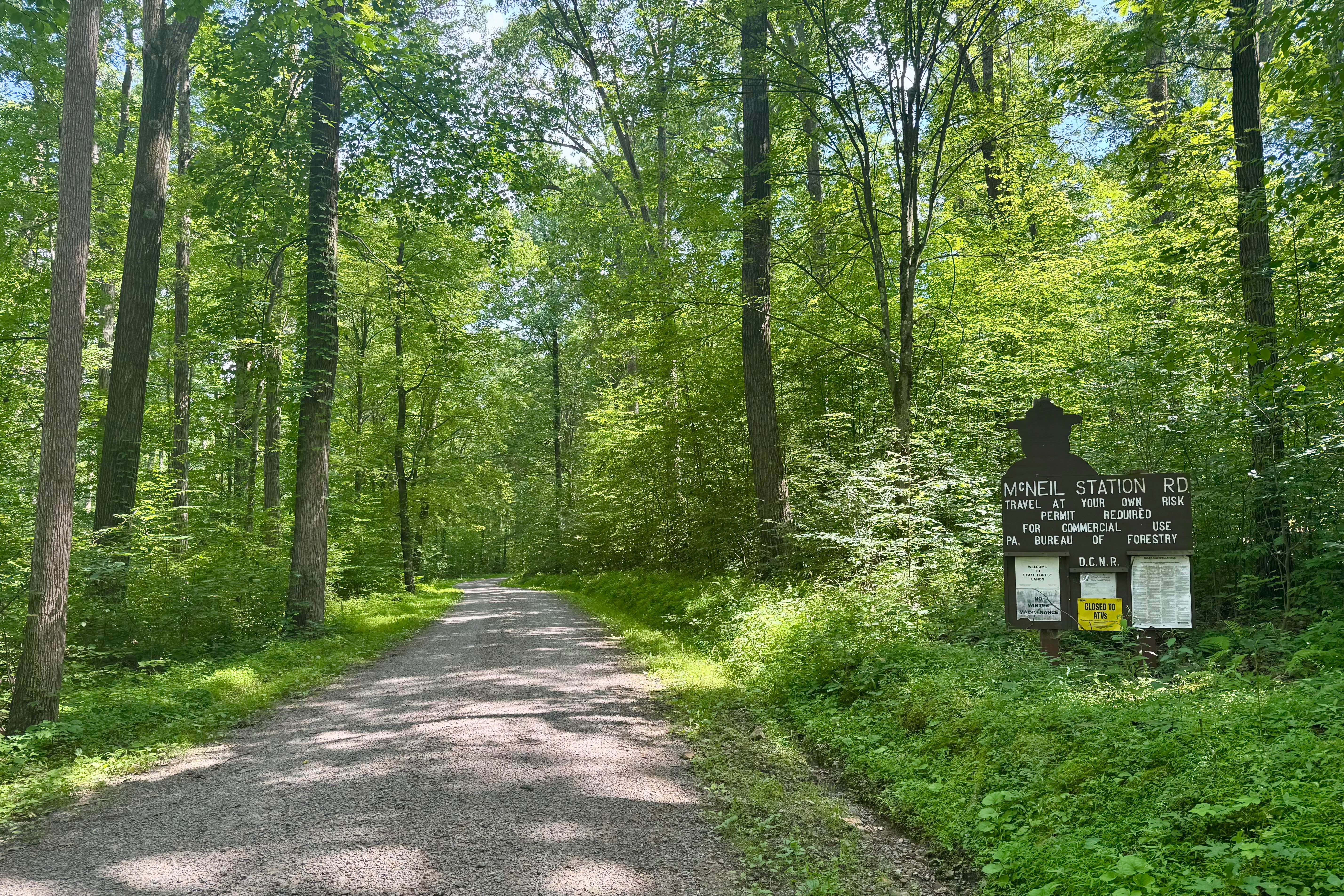
McNeil Station Road
Total Miles
1.7
Technical Rating
Best Time
Spring, Summer, Fall
Trail Type
Full-Width Road
Accessible By
Trail Overview
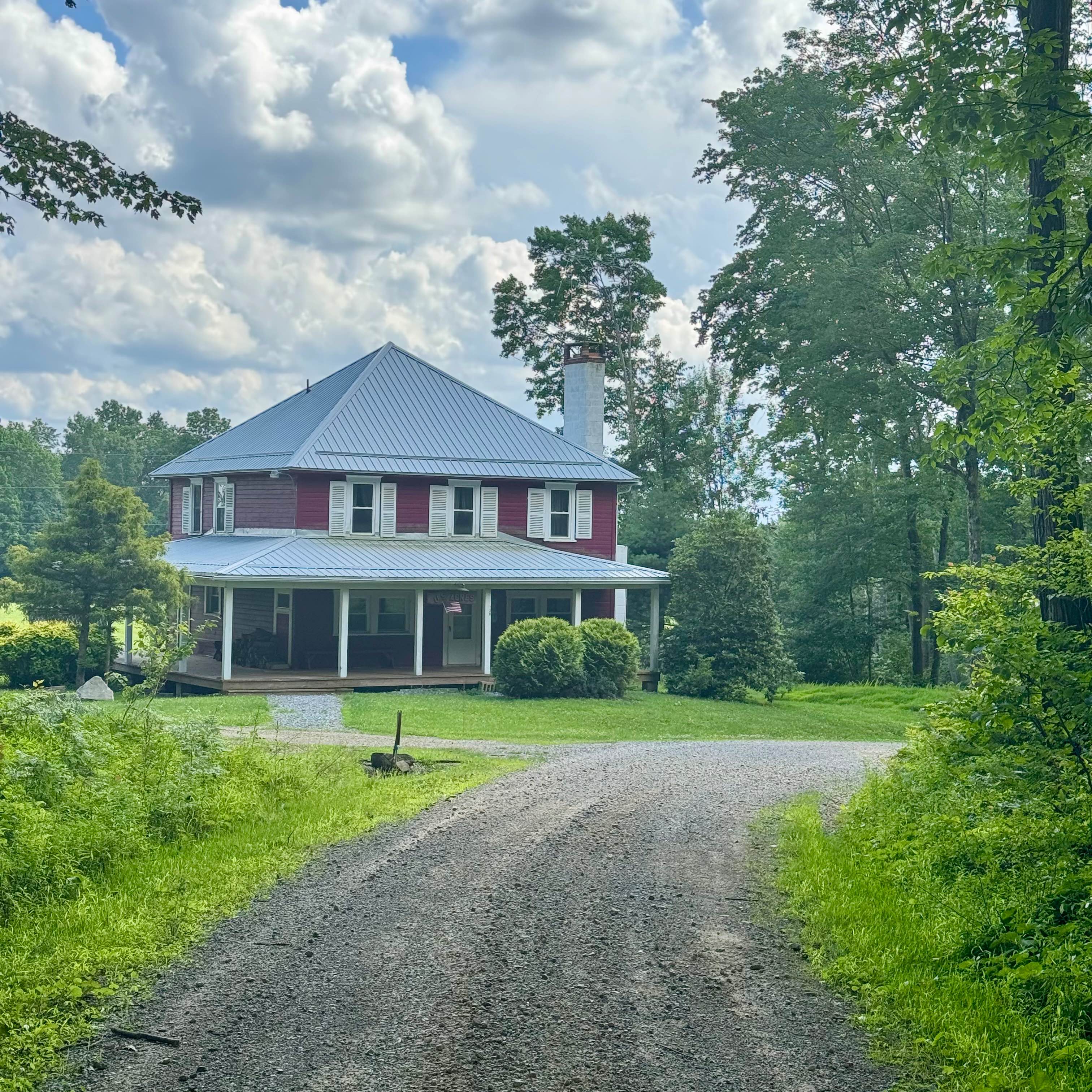
This is a nice route with some gentle elevation changes, and it also features a good motorized campsite (reservation required). Combine this road with any of the other forest roads in this state forest tract for a peaceful and relaxing tour of this area south of the Clarion River. There are two quaint structures along this road. The one to the north is a smaller structure on forest property likely leased to a resident. The larger one to the south is private property, so be respectful of that when passing by. This road goes through some very nice parts of this forest tract.
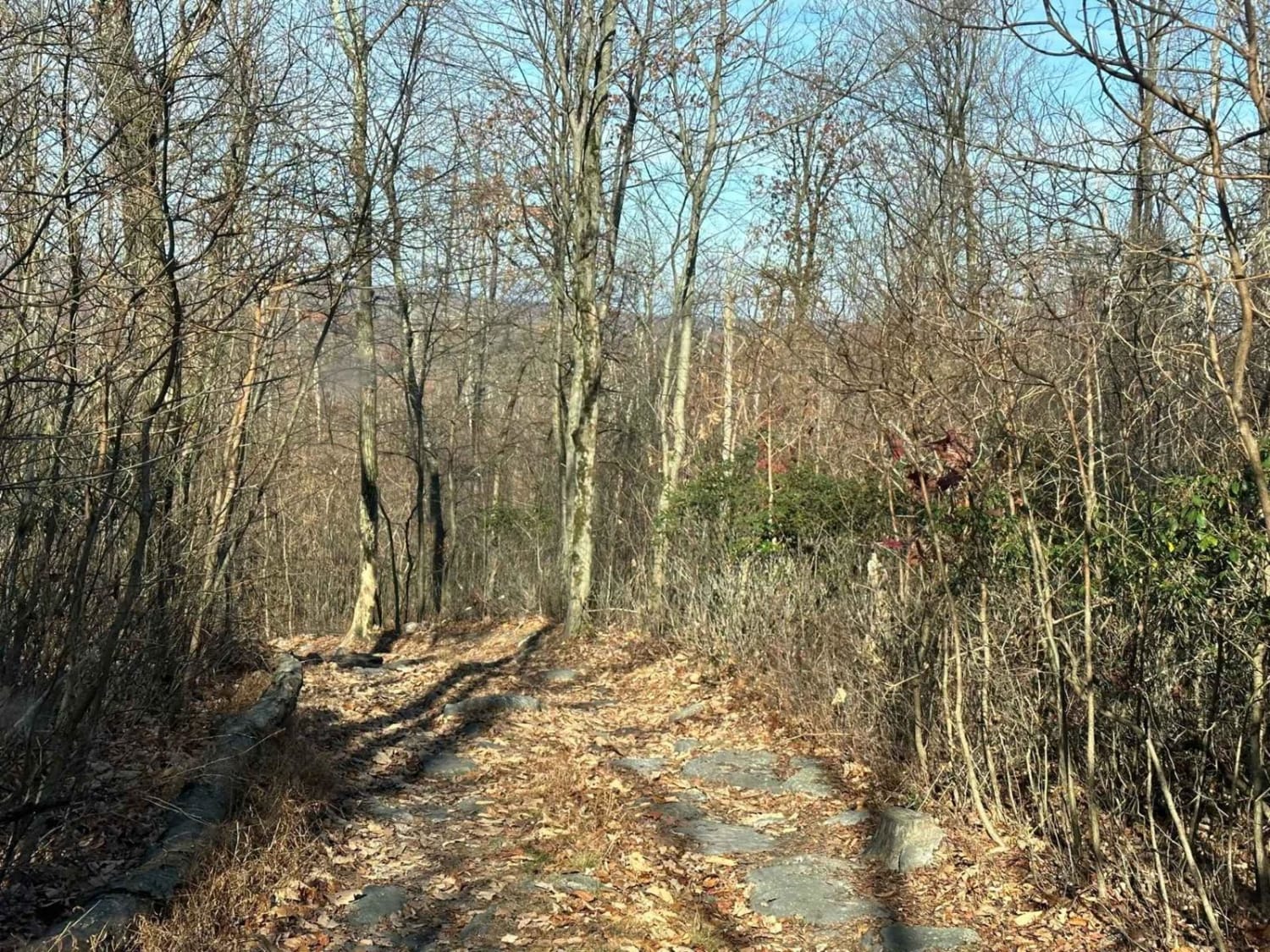
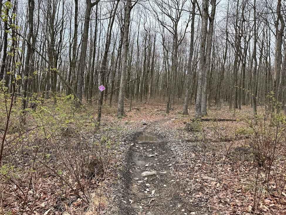
Photos of McNeil Station Road
Difficulty
This trail is passable by any street-legal vehicle under dry conditions, with occasional potholes being the only notable obstacles.
History
The designation "Station" often refers to stops on old logging railroads or small lumber settlements, and given the proximity to the railroad established along what is now Callen Run Road to the north, this was likely the access road for that camp or railway stop.
Status Reports
McNeil Station Road can be accessed by the following ride types:
- High-Clearance 4x4
- SUV
McNeil Station Road Map
Popular Trails

St. Keirns 23

Tower City 7
Burma Single Track 2
The onX Offroad Difference
onX Offroad combines trail photos, descriptions, difficulty ratings, width restrictions, seasonality, and more in a user-friendly interface. Available on all devices, with offline access and full compatibility with CarPlay and Android Auto. Discover what you’re missing today!