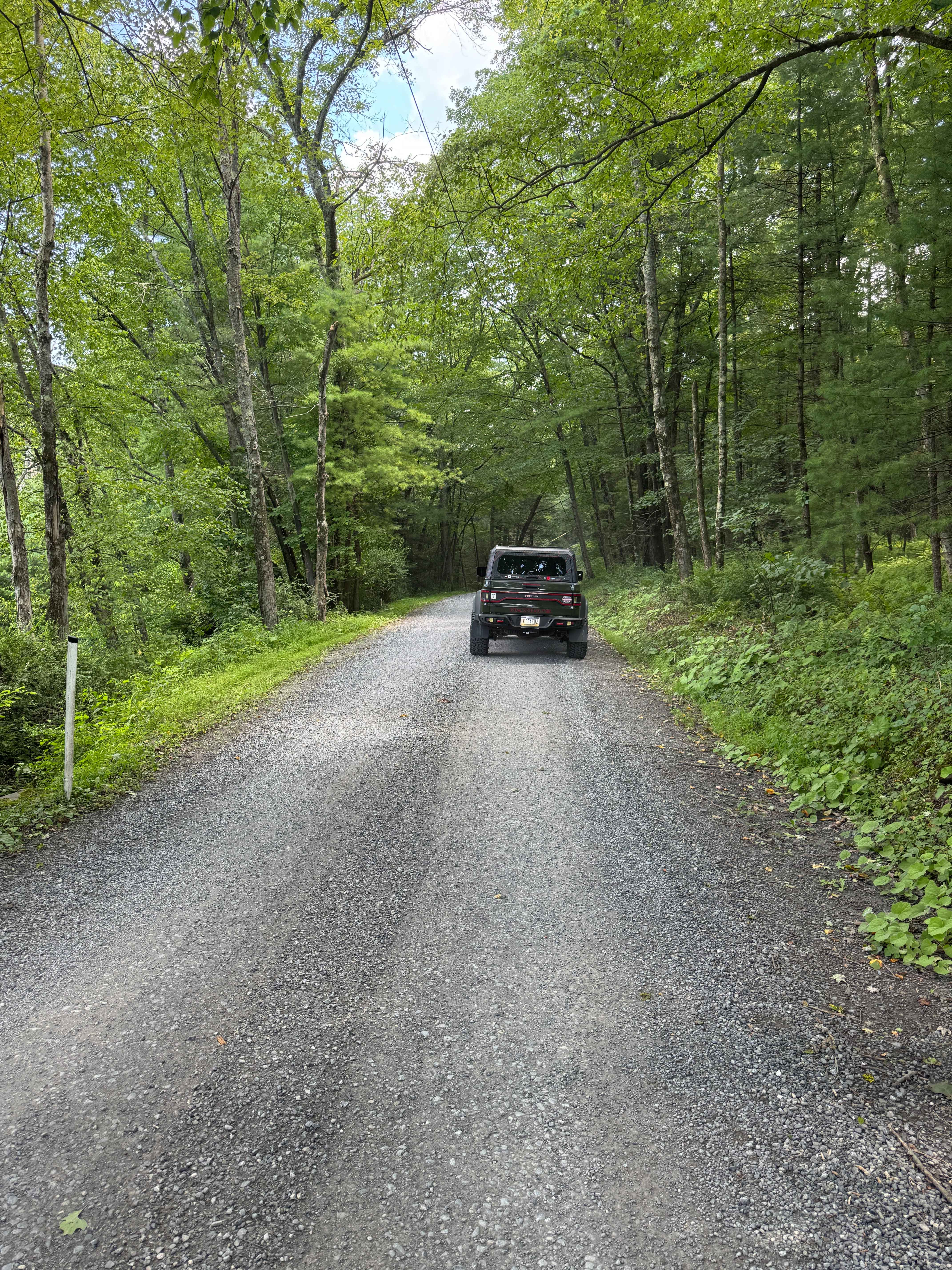
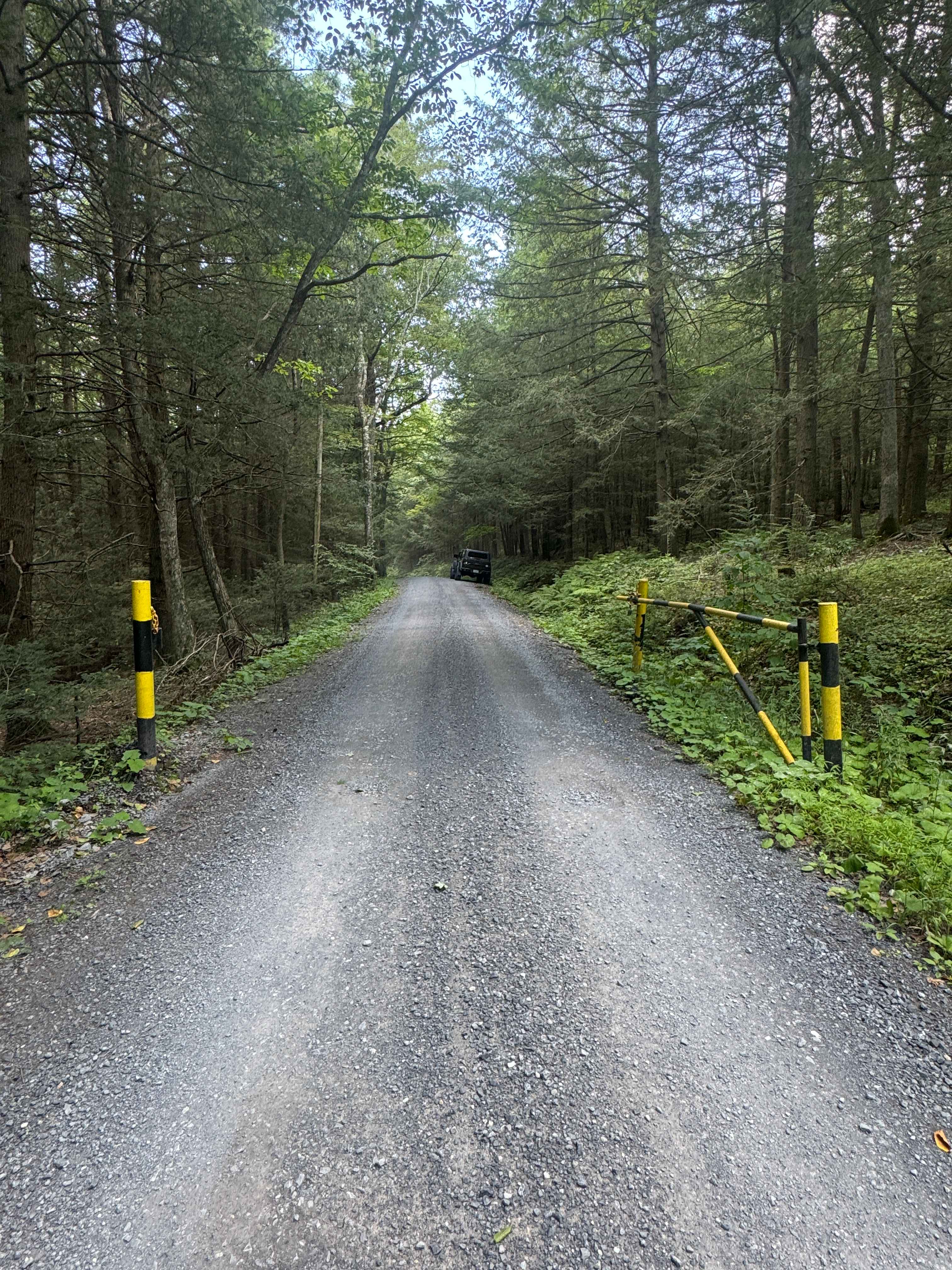
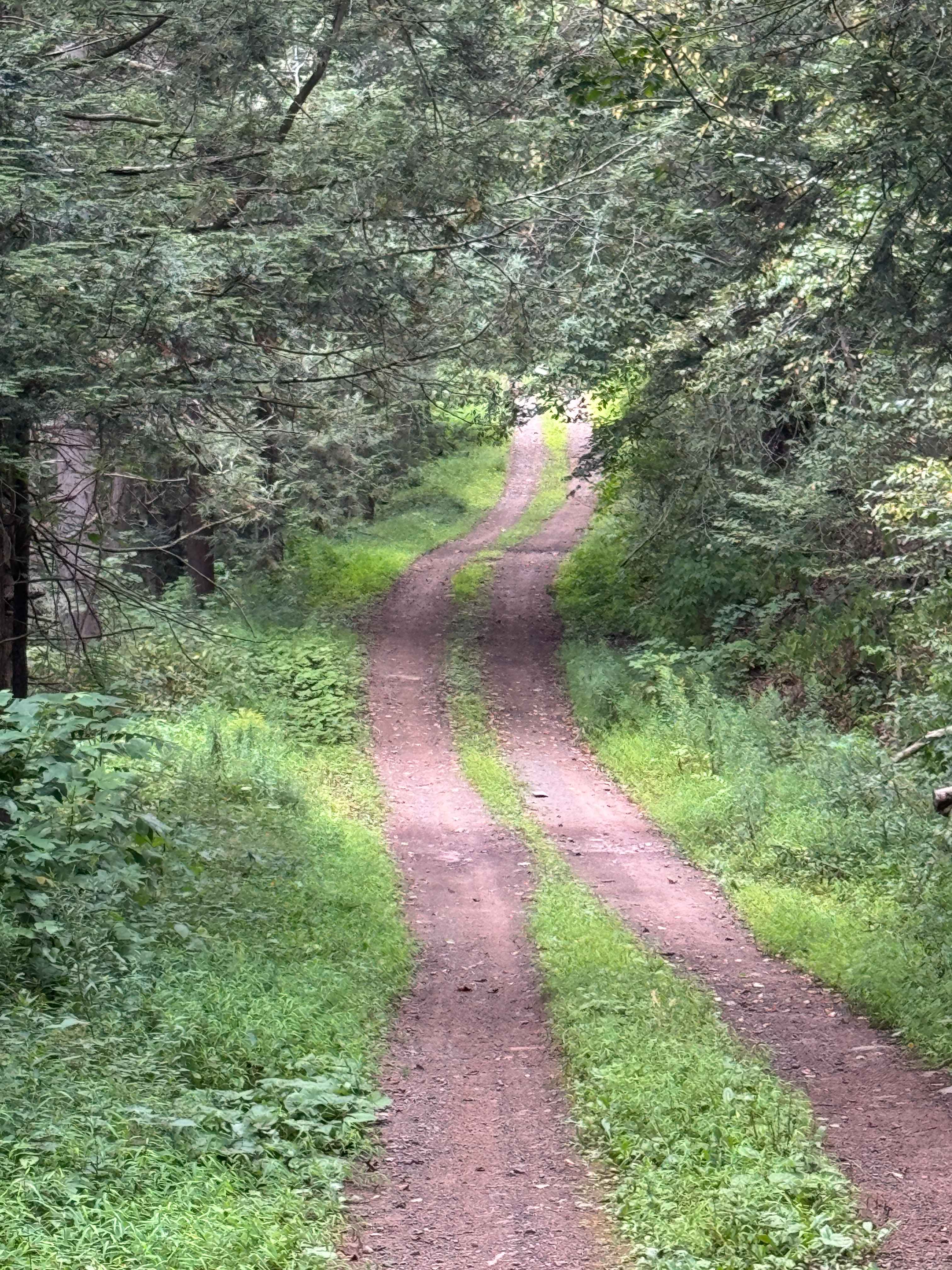
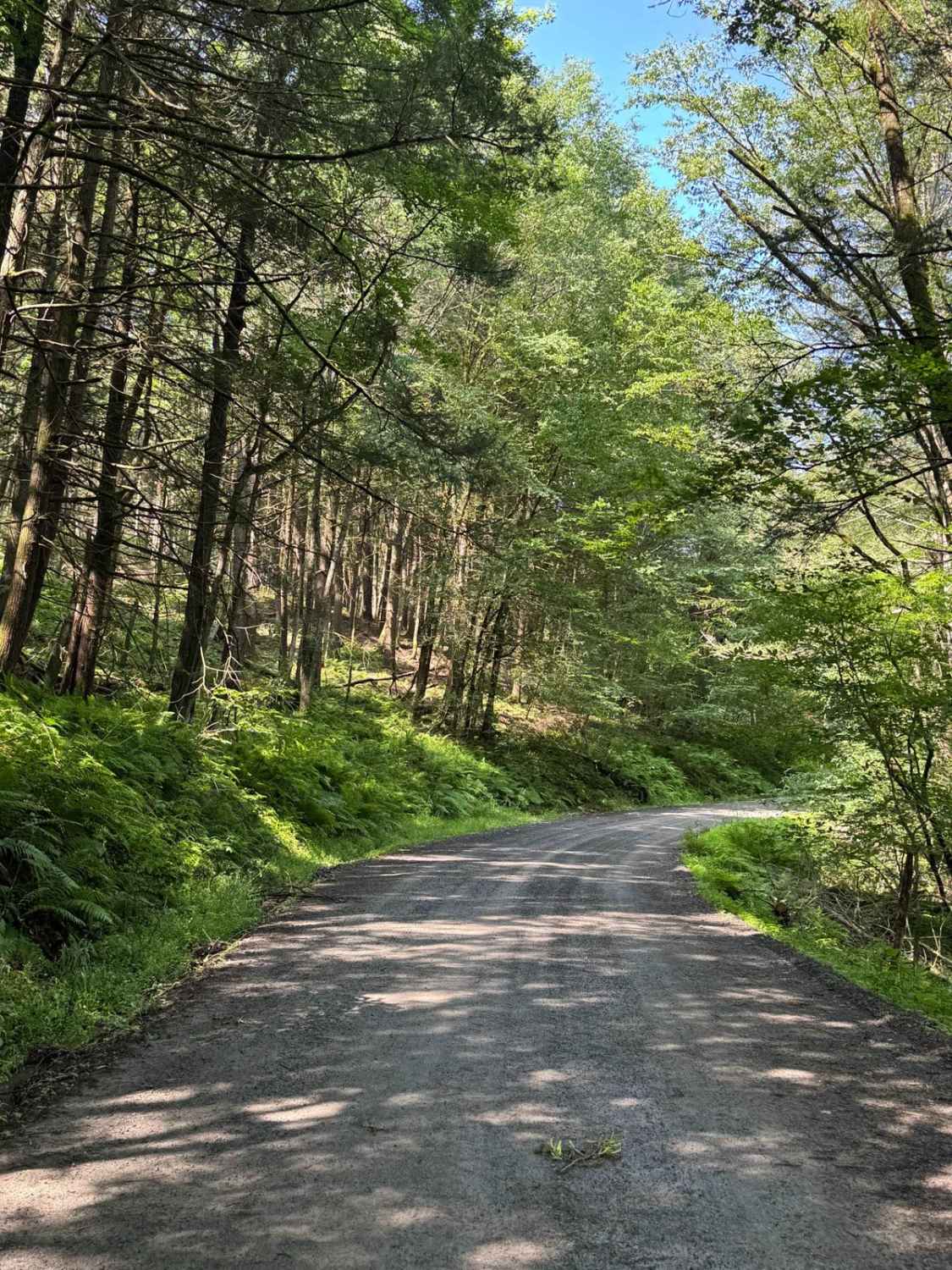
Lower Pine Bottom Road
Total Miles
3.3
Technical Rating
Best Time
Spring, Summer, Fall
Trail Type
Full-Width Road
Accessible By
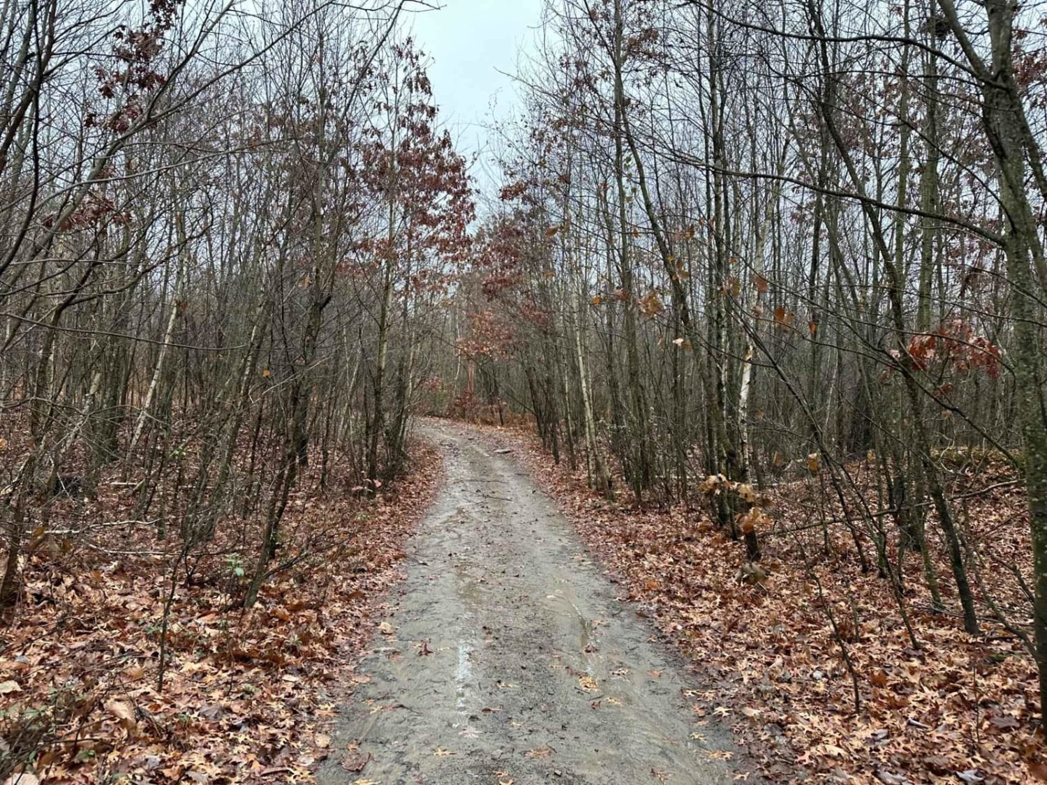
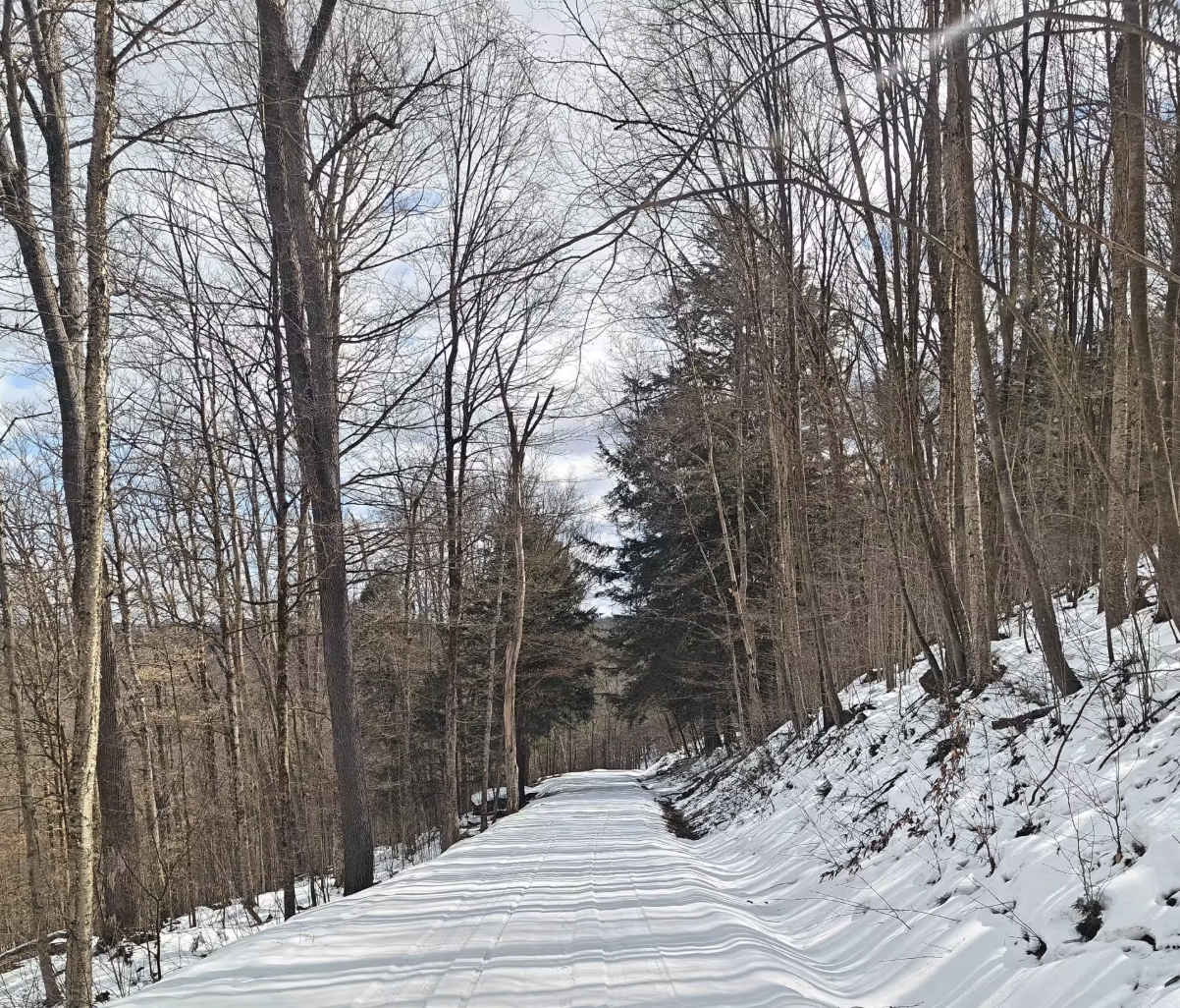
Trail Overview
Lower Pine Bottom Road is primarily a graded gravel road. It is an easy ride in the summer months; however, there is no winter maintenance. Lower Pine Bottom Road is within Tiadaghton State Forest. At the northern end of Lower Pine Bottom Road is the entrance to the Tiadaghton State Forest Resource Management Center, which is open to the public and has numerous local exhibits of wildlife. There are numerous spots to stop along this road and enjoy the foliage and possible wildlife. This region of Pennsylvania is a great place to explore during the fall when the leaves are changing color, and the full beauty of the State Forest is on display.
Photos of Lower Pine Bottom Road
Difficulty
Lower Pine Bottom Road is an easy ride in the summer months; however, there is no winter maintenance. During times of rain, snow, and ice, the road will become harder to travel on. It can become washed out and rutted in the spring thaw and rainy seasons. There can be water in the ruts, and they will become slick and muddy.
Status Reports
Lower Pine Bottom Road can be accessed by the following ride types:
- High-Clearance 4x4
- SUV
Lower Pine Bottom Road Map
Popular Trails
Four Mile Road
Cooley Creek Road
ATV Trail 57
County Line FSR 120
The onX Offroad Difference
onX Offroad combines trail photos, descriptions, difficulty ratings, width restrictions, seasonality, and more in a user-friendly interface. Available on all devices, with offline access and full compatibility with CarPlay and Android Auto. Discover what you’re missing today!