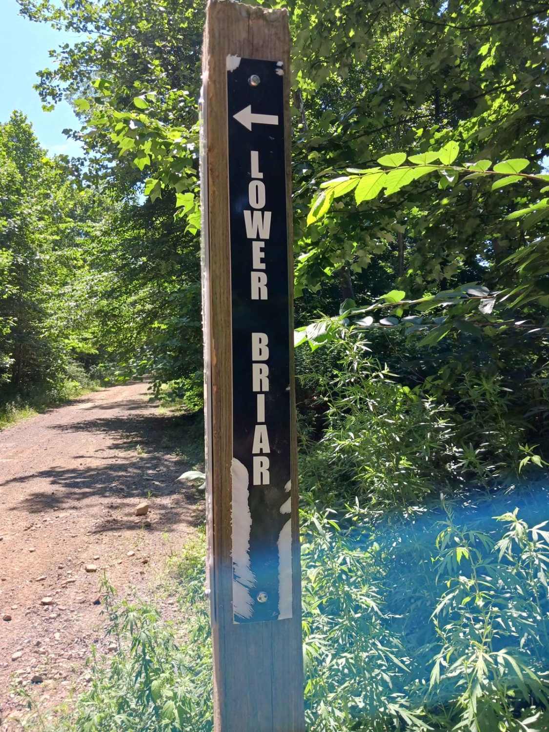
Lower Briar Path
Total Miles
1.4
Technical Rating
Best Time
Spring, Summer, Fall
Trail Type
60" Trail
Accessible By
Trail Overview
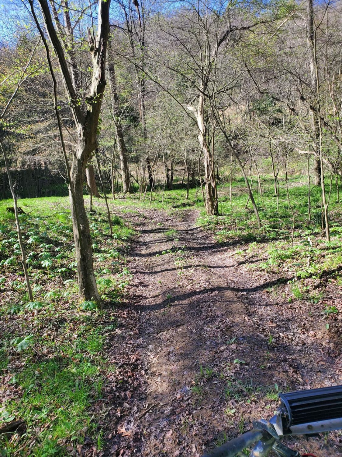
Lower Briar Path - A trail of Rock Run Recreation Area. Located on the Northern End of the park, Lower Briar Path should be able to be traversed by anyone on a motorcycle, ATV, or SxS with a little skill. It is just under 1.5 miles in length. One end starts at Holtz Hill Road and the other end at the Barrens 36 Connector Road. There is one opportunity to enter or exit Lower Briar Path at Hawk Lane; otherwise, you are committed to the trail. Lower Briar Path offers a variety of riding terrain, from short steep sections, lots of turns, embedded and loose rocks, and some mud in locations. This trail travels along the surrounding hillside up and down the majority of the trail before doubling back for a short section. All in the woods, you will see a variety of forests, with spots here and there to look out into the surrounding valley. This trail is open to bikes, ATVs, and SxSs. This is a two-way trail and offers a different experience riding it both directions. Trail driven and documented in July 2025.
Photos of Lower Briar Path

Difficulty
This is an uneven, rutted dirt trail with loose rocks, washes, and minor mud holes. There are numerous short, steep sections. The trail is one vehicle wide with limited places to pass.
Status Reports
Lower Briar Path can be accessed by the following ride types:
- SxS (60")
- ATV (50")
- Dirt Bike
Lower Briar Path Map
Popular Trails
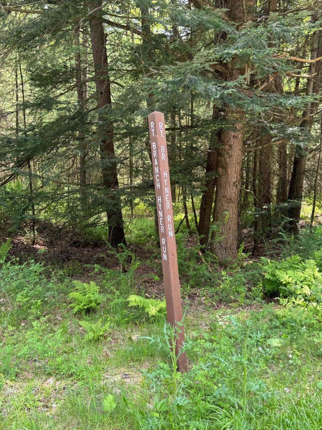
Right Branch Hyner Run Road
Rattlesnake Run
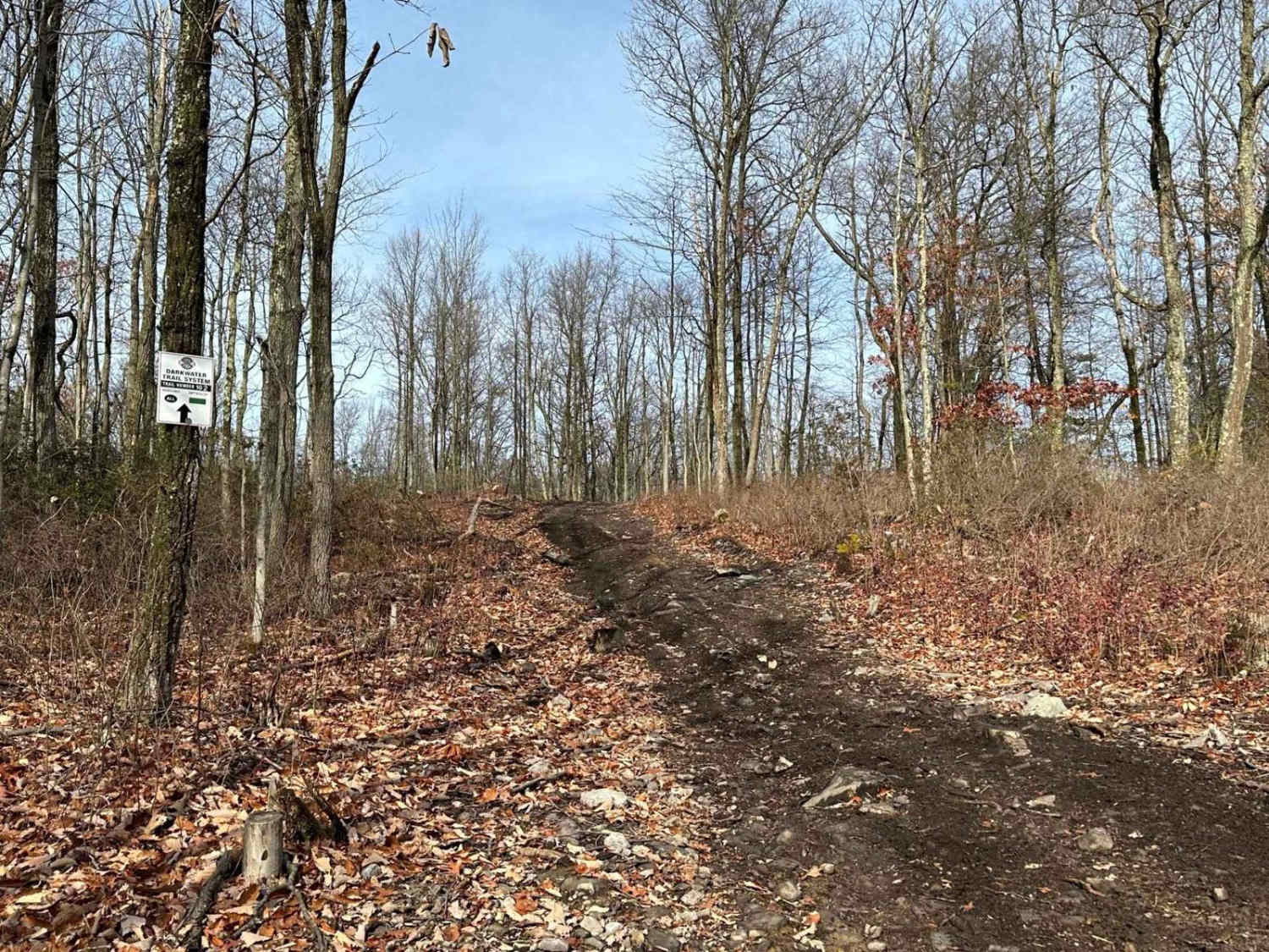
Darkwater 102
The onX Offroad Difference
onX Offroad combines trail photos, descriptions, difficulty ratings, width restrictions, seasonality, and more in a user-friendly interface. Available on all devices, with offline access and full compatibility with CarPlay and Android Auto. Discover what you’re missing today!