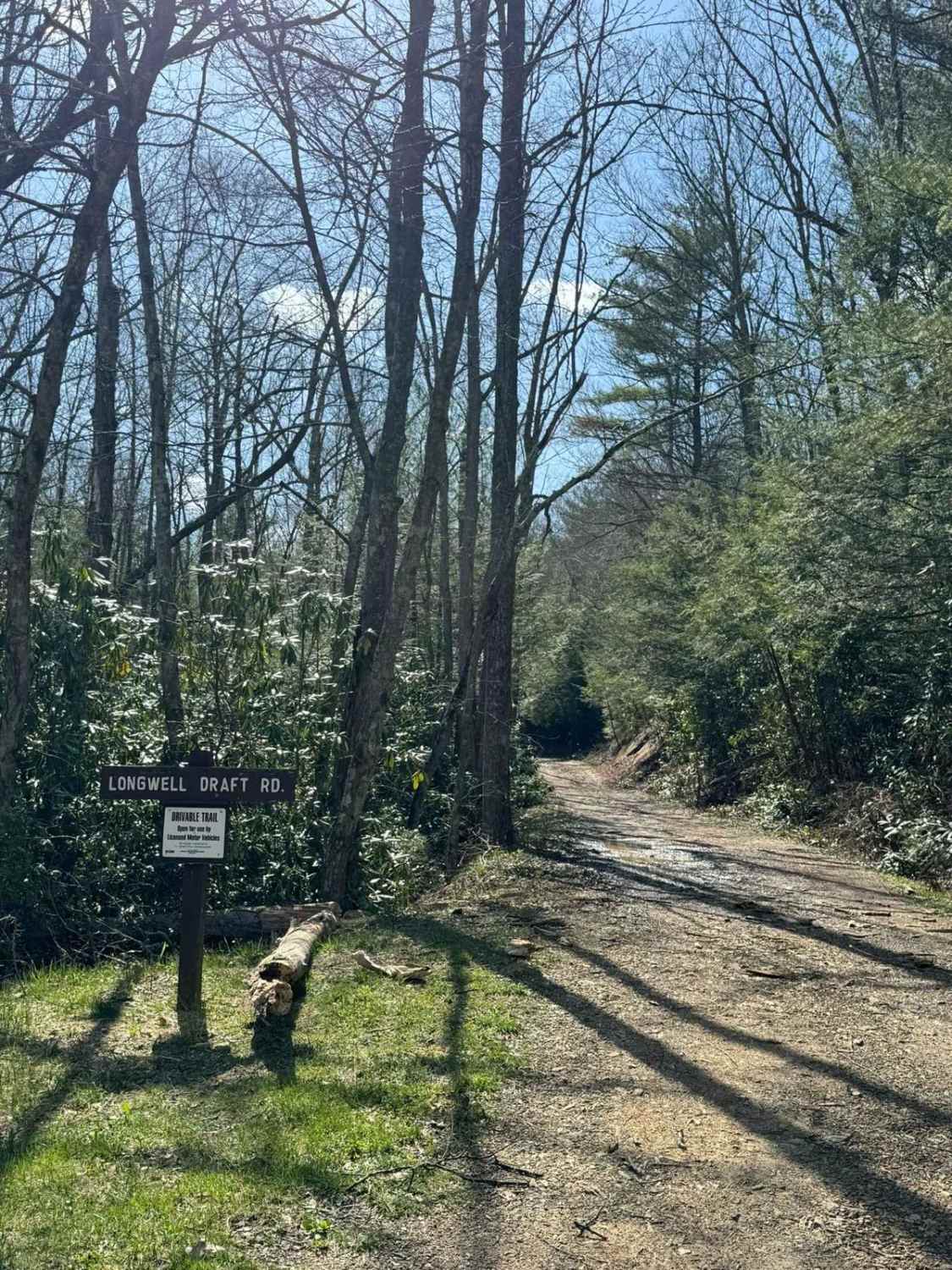
Longwell Draft Road
Total Miles
5.1
Technical Rating
Best Time
Summer, Fall, Spring, Winter
Trail Type
Full-Width Road
Accessible By
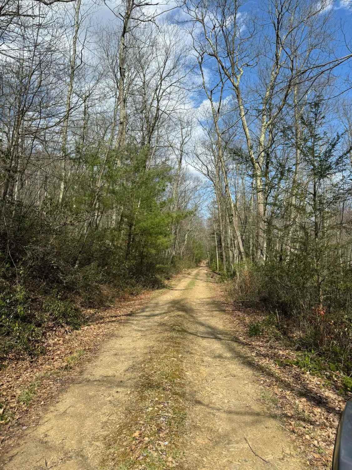
Trail Overview
Longwell Draft Road is a very straight but pleasant drivable trail in Bald Eagle State Forest. From end to end, there is approximately 850 feet of elevation change and it is gradual along the entire length. The road is comprised of mostly dirt with the occasional rocks and frequent mud puddles. Longwell Draft Road parallels Weikert Run along its entire length, giving you plenty of opportunities to see the stream and the nature that surrounds it.
Photos of Longwell Draft Road
Difficulty
Frequent water holes with solid bottoms will be encountered. The depth of the water varies through the year and is frequently up to 12 inches deep after a rain.
Status Reports
Longwell Draft Road can be accessed by the following ride types:
- High-Clearance 4x4
- SUV
Longwell Draft Road Map
Popular Trails

Tower City Single Track 3 - B

Ashland 191

Countyline Road

Locust Gap 79
The onX Offroad Difference
onX Offroad combines trail photos, descriptions, difficulty ratings, width restrictions, seasonality, and more in a user-friendly interface. Available on all devices, with offline access and full compatibility with CarPlay and Android Auto. Discover what you’re missing today!