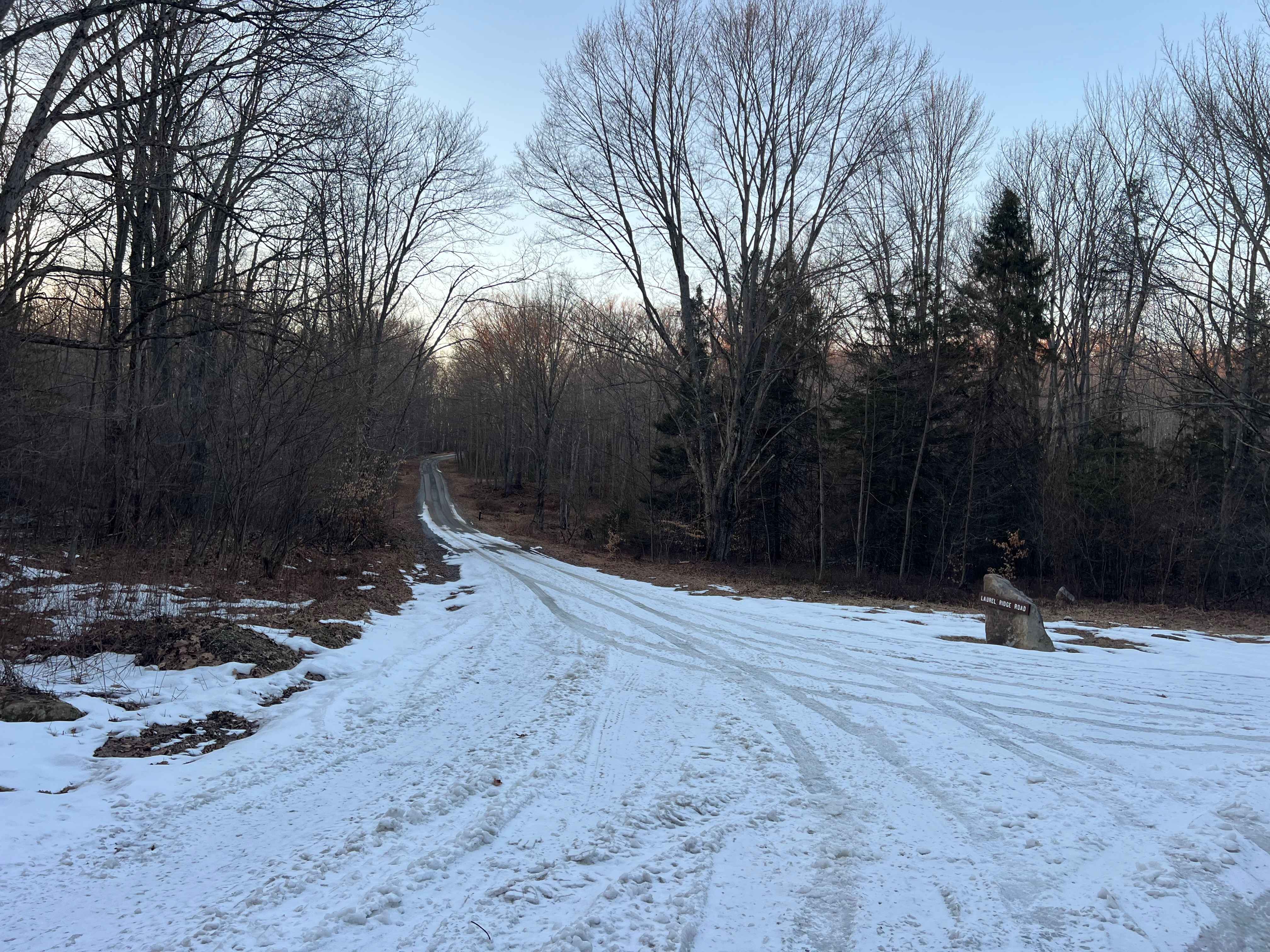
Laurel Ridge Road
Total Miles
2.3
Technical Rating
Best Time
Spring, Summer, Fall
Trail Type
Full-Width Road
Accessible By
Trail Overview
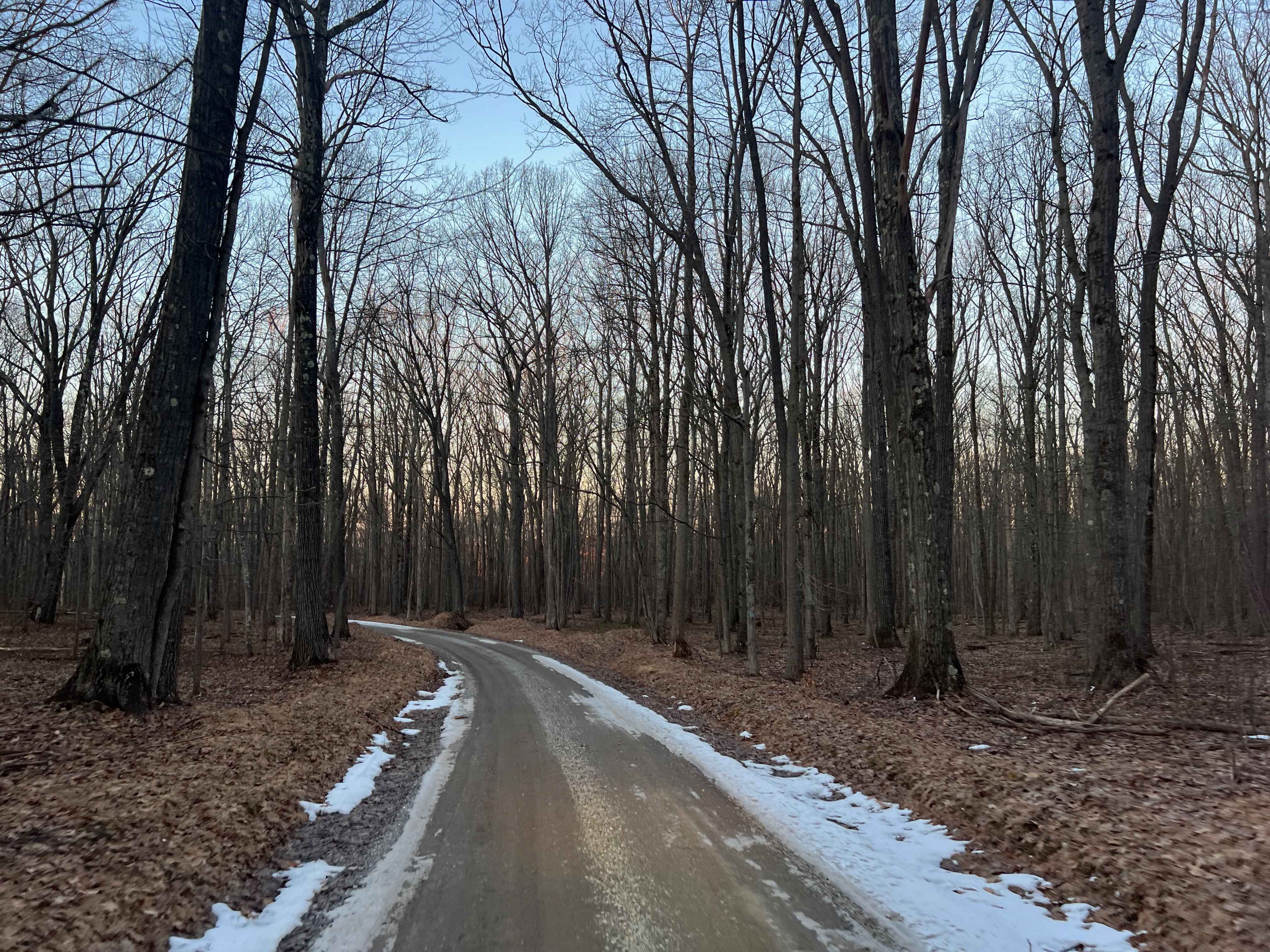
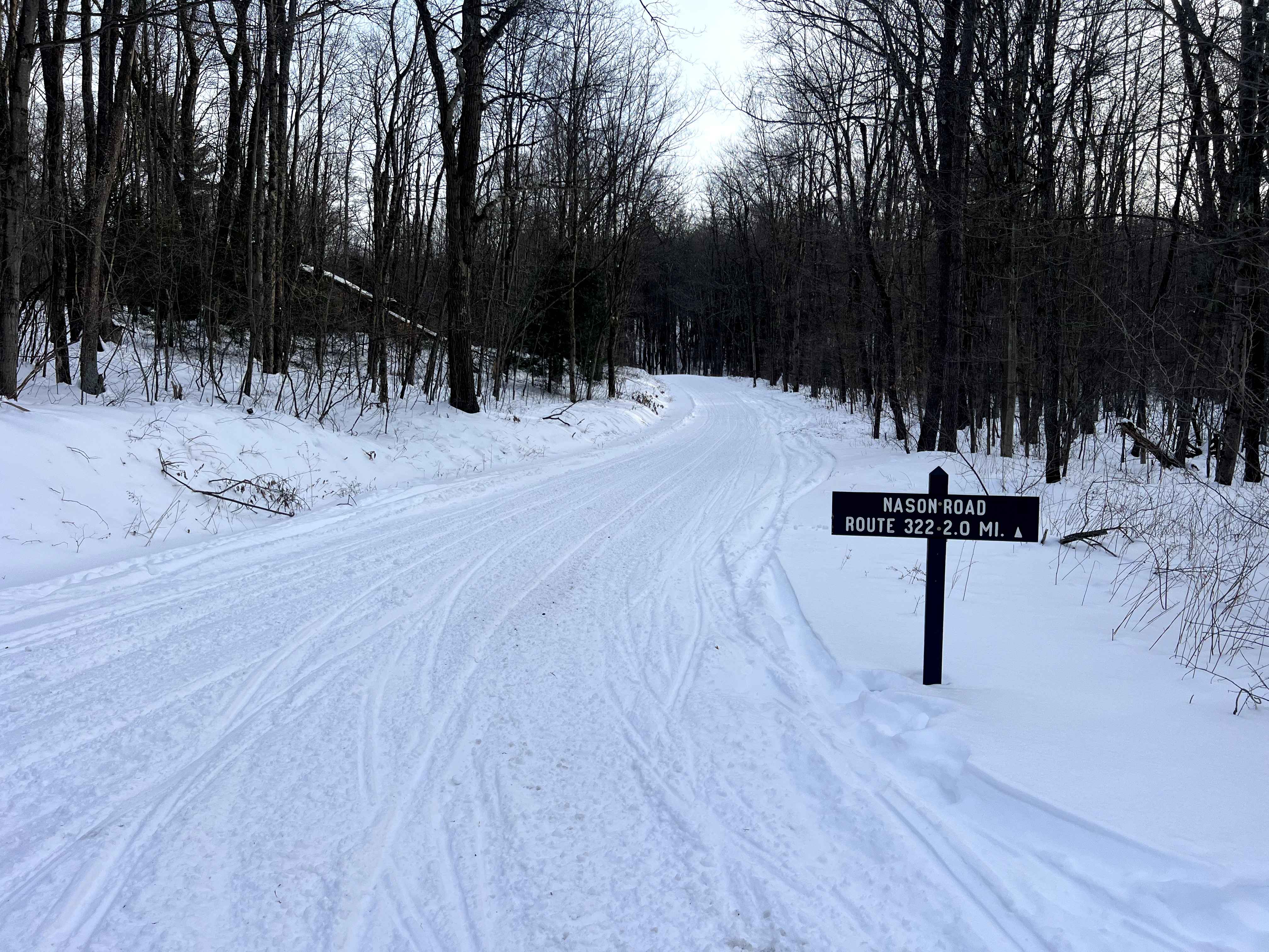
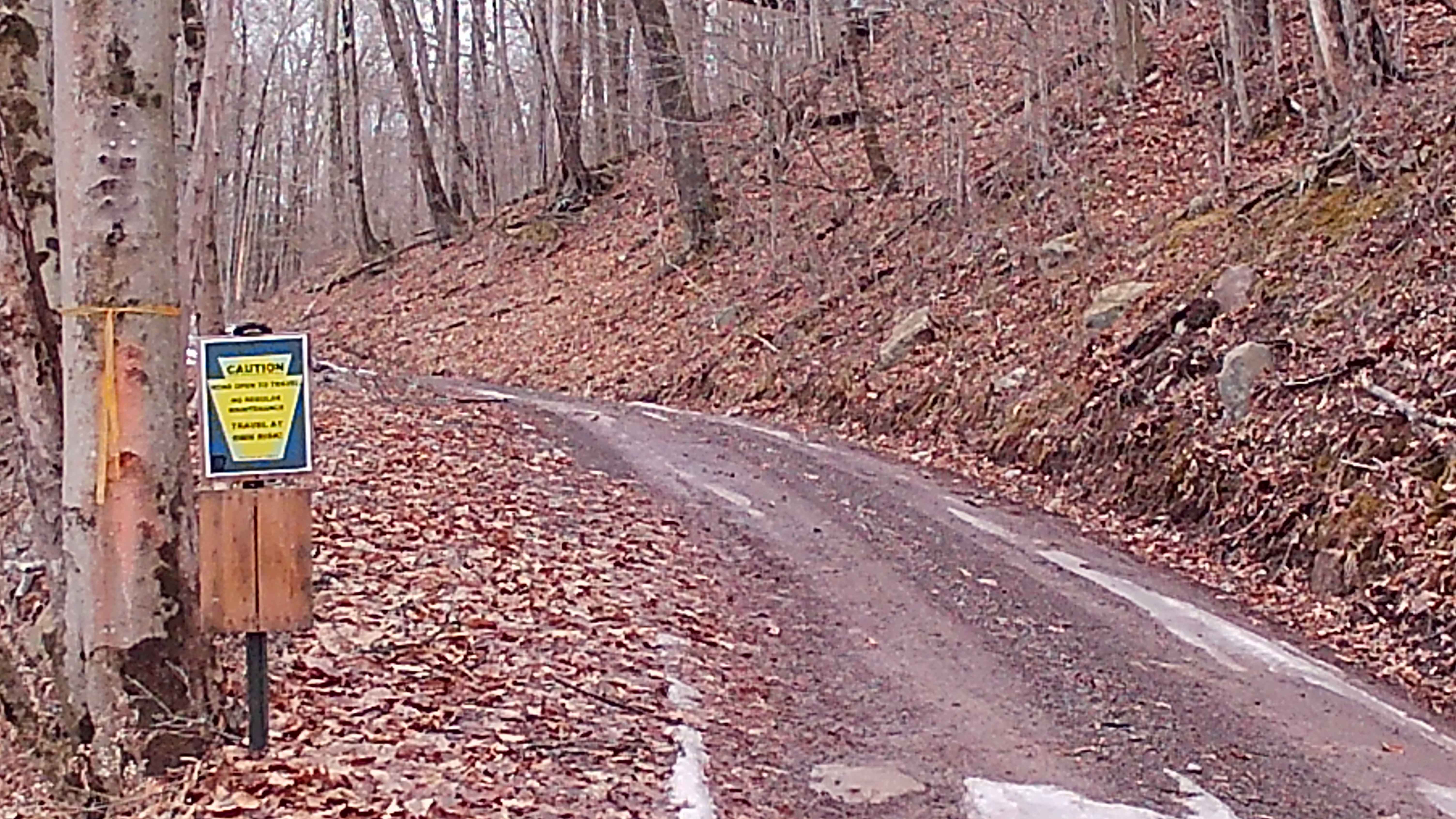
Laurel Ridge Road is a gracefully winding gravel road through Moshannon State Forest. Serving as a connector between Laurel Run Road and Mud Run Road and providing access to Pray Run and Laurel Run. Spurline Trail and Skunk Trail, both non-motorized access trails, intersect or have a trailhead at the road. There is a pipeline that intersects approximately in the middle of the route, giving a clear view of the valley and adjacent hills to the north east. This road is a beautiful drive any time of the year, and a great way to access the state park from the southeast. The majority of the road is single lane with some shoulder, but there are several areas where it would be comfortable to pass. Expect there is no winter maintenance, and navigate with caution if snow or ice is present.
Photos of Laurel Ridge Road
Difficulty
There are no obstacles on Laurel Ridge Road, but there is no winter maintenance, and the road may become dangerous with ice.
Status Reports
Laurel Ridge Road can be accessed by the following ride types:
- High-Clearance 4x4
- SUV
Laurel Ridge Road Map
Popular Trails

Darkwater 48
Camp Hill Road
The onX Offroad Difference
onX Offroad combines trail photos, descriptions, difficulty ratings, width restrictions, seasonality, and more in a user-friendly interface. Available on all devices, with offline access and full compatibility with CarPlay and Android Auto. Discover what you’re missing today!