Landrus Road
Total Miles
10.0
Technical Rating
Best Time
Spring, Summer, Fall
Trail Type
Full-Width Road
Accessible By
Trail Overview
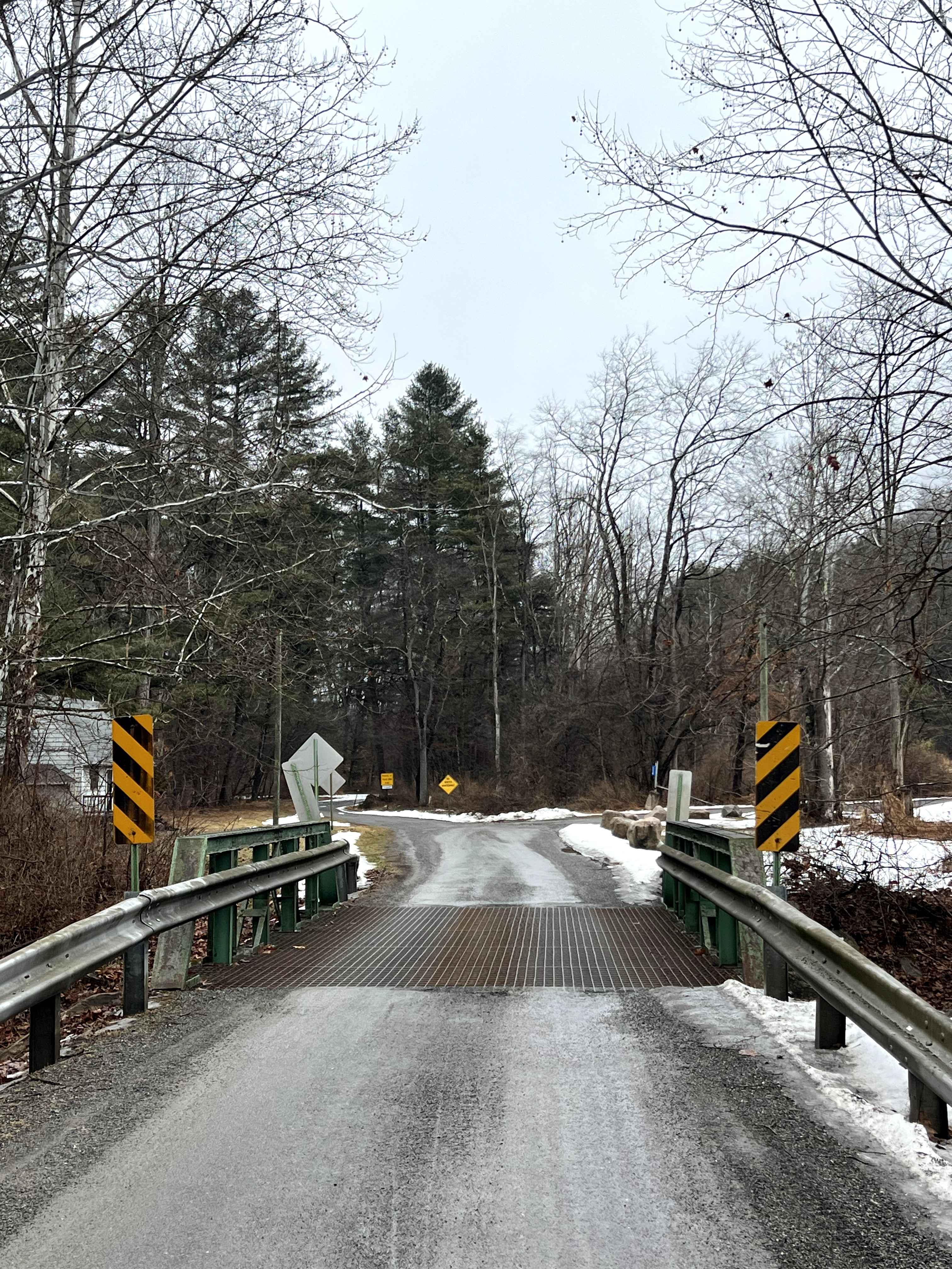
Landrus Road is an exceptionally beautiful, relaxed drive following Babb Creek and Lick Creek, connecting the towns of Morris and Arnot, and passing through the former town of Landrus. The road is wide enough to pass carefully in all but a few narrow areas, and there are numerous opportunities to pull off and walk down to the water. There is also a beautiful waterfall towards the north end of the road. If accessing the creek, be mindful that there are multiple plots of private property along this route.
Photos of Landrus Road
Difficulty
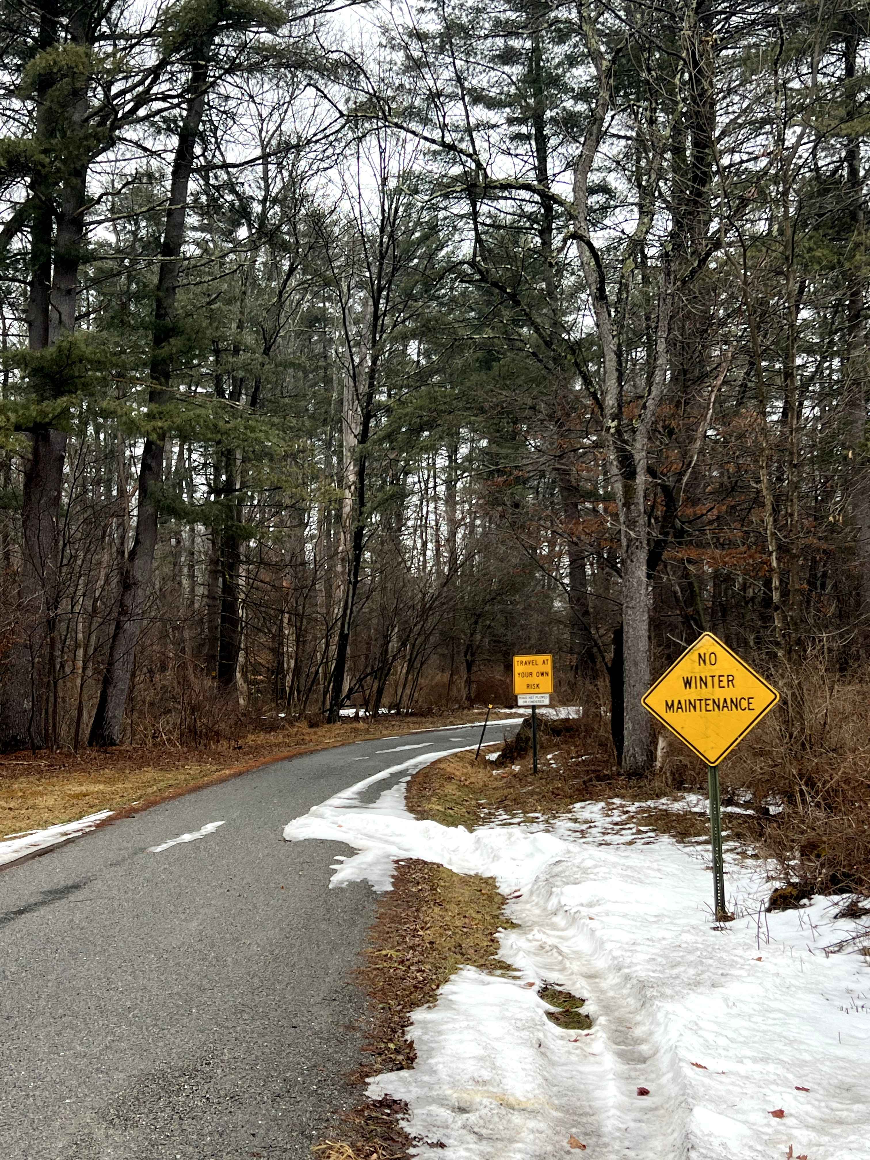
The road is typically well-maintained gravel; there will be no winter maintenance.
History
Landrus formerly existed as a lumber and coal mining town. The town was abandoned between 1910 and 1915 after being founded in 1882 as a sawmill town. At its peak, Landrus most likely had a population of 100. Named after Henry J. Landrus, who was the manager of the Blossburg Coal Company. This "ghost town" can be found along Landrus Road, where the Landrus Corners marker stone (photo #14) stands.
Status Reports
Landrus Road can be accessed by the following ride types:
- High-Clearance 4x4
- SUV
Landrus Road Map
Popular Trails

Sniper Ledge Connector Part 1
Burma Single Track 19
Locust Gap 22

St. Keirns 120
The onX Offroad Difference
onX Offroad combines trail photos, descriptions, difficulty ratings, width restrictions, seasonality, and more in a user-friendly interface. Available on all devices, with offline access and full compatibility with CarPlay and Android Auto. Discover what you’re missing today!